Muckle Orcas

Coastal Feature, Headland, Point in Shetland

Scotland

Muckle Orcas

Stack o' da Noup, Spiggie, from the air
Stack o' da Noup, Spiggie, from the air Credit: Mike Pennington

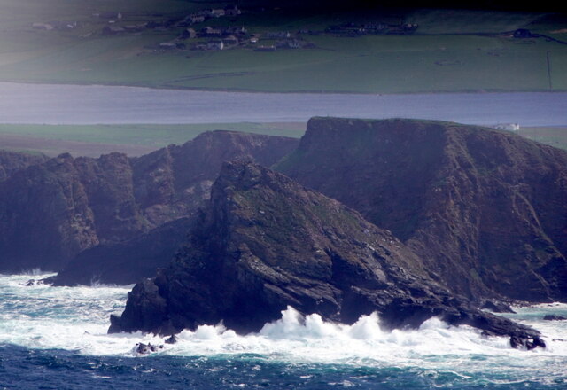
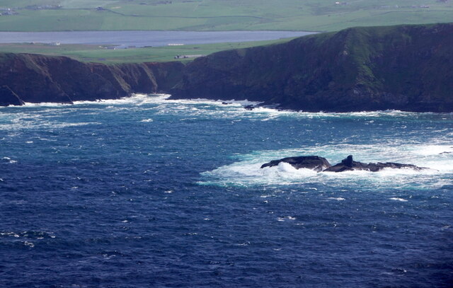
Muckle Orcas is a prominent coastal feature located in Shetland, an archipelago in Scotland. It is a headland that juts out into the North Sea, forming a distinctive point along the rugged coastline. Muckle Orcas is geographically situated in the northern part of Shetland, specifically in the parish of Nesting and Lunnasting.

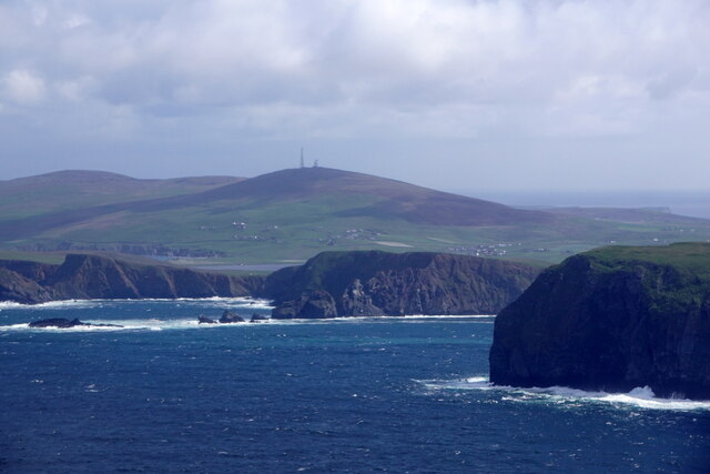
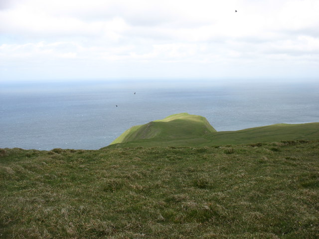
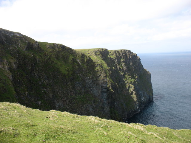
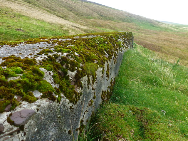
This headland is characterized by its dramatic cliffs, which rise steeply from the sea to heights of approximately 50 meters (164 feet) above sea level. The cliffs are composed of sedimentary rock formations, primarily sandstone and shale, which have been shaped by the relentless forces of wind and waves over millennia. As a result, Muckle Orcas presents a striking and awe-inspiring natural spectacle.

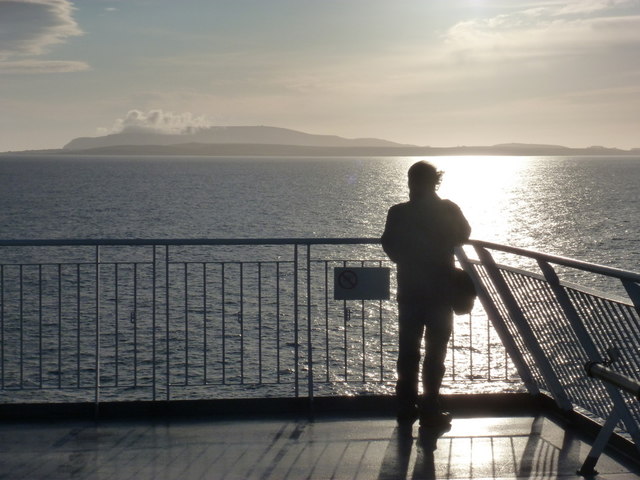
The area surrounding Muckle Orcas is known for its diverse wildlife. Seabird colonies, including puffins, fulmars, and guillemots, can be found nesting on the cliffs, making it a popular destination for birdwatching enthusiasts. The waters surrounding the headland are also home to a variety of marine life, including seals, dolphins, and occasionally even orcas, from which the headland derives its name.

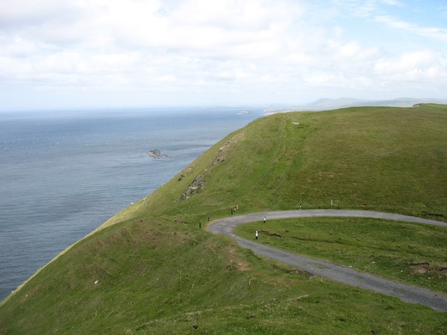
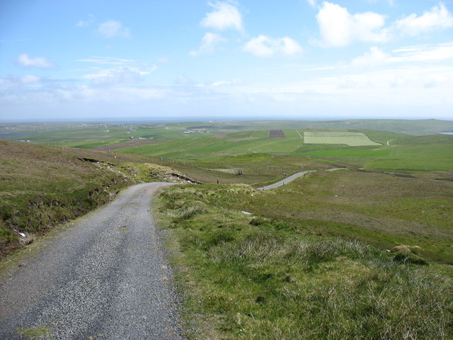
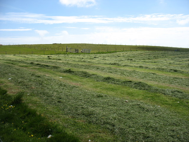
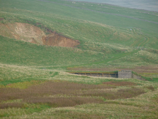
The coastal paths around Muckle Orcas offer breathtaking views of the surrounding sea and countryside, making it a popular spot for hikers and nature lovers. Visitors can appreciate the rugged beauty of the headland, explore the nearby beaches, and enjoy the tranquility of this remote and untouched part of Shetland.

In summary, Muckle Orcas is a captivating headland in Shetland, boasting towering cliffs, abundant wildlife, and stunning coastal scenery. It is a must-see destination for those seeking a true natural wonder in the northern reaches of Scotland.

If you have any feedback on the listing, please let us know in the comments section below.

Muckle Orcas Images

Images are sourced within 2km of 59.91712/-1.3699219 or Grid Reference HU3514. Thanks to Geograph Open Source API. All images are credited.

Stack o' da Noup, Spiggie, from the air
Swarta Skerry, Noss, Spiggie, from the air
The Nev, Fitful Head, from the air With a view to Ward of Scousburgh
The Nev, Fitful Head, from the air
With a view to Ward of Scousburgh
Fitful Head from the air
Dotterel (Chardrius morinellus), near Bakkasetter A migrant in Shetland.
Dotterel (Chardrius morinellus), near Bakkasetter
A migrant in Shetland.
The Ords, Fitful Head
Cliffs at The Nev, north of Fitful Head
The bend in the track There is a well-graded track up to the communications masts on Fitful Head. Clearly, it is not open to the public to drive up, but it is an easy walk from Quendale. At this point, there is a sharp bend. Coming down, I certainly would not want to lose control here, or miss the turn in mist. The consequences are pretty clear!

I think that the rocks just left of centre must be Swarta Skerry, in <a href="https://www.geograph.org.uk/gridref/HU3415">HU3415</a>.
The bend in the track
There is a well-graded track up to the communications masts on Fitful Head. Clearly, it is not open to the public to drive up, but it is an easy walk from Quendale. At this point, there is a sharp bend. Coming down, I certainly would not want to lose control here, or miss the turn in mist. The consequences are pretty clear! I think that the rocks just left of centre must be Swarta Skerry, in HU3415.
The track from Fitful Head A well-graded track serves the communications station on Fitful Head. Clearly, it is not open to the public to drive, but it gives an easy walk. This is looking back downhill towards Quendale.
The track from Fitful Head
A well-graded track serves the communications station on Fitful Head. Clearly, it is not open to the public to drive, but it gives an easy walk. This is looking back downhill towards Quendale.
The track from Fitful Head Looking east towards Gord Farm and Quendale.

The public are not allowed to drive up this track, which is used by engineers servicing the masts on Fitful Head. But it makes for a very easy walk to this 283m high hill.
The track from Fitful Head
Looking east towards Gord Farm and Quendale. The public are not allowed to drive up this track, which is used by engineers servicing the masts on Fitful Head. But it makes for a very easy walk to this 283m high hill.
Drying the hay at Gord Farm At least two weeks of dry weather must have been very welcome. And another week, at least, to come.
Drying the hay at Gord Farm
At least two weeks of dry weather must have been very welcome. And another week, at least, to come.
Looking across pasture to Symblisetter The new building replacing the now derelict croft.
Looking across pasture to Symblisetter
The new building replacing the now derelict croft.
Symblisetter Modern houses overlooking Loch of Spiggie.
Symblisetter
Modern houses overlooking Loch of Spiggie.
Fitful Head: view from a few miles east Looking out from the Northlink ferry to Aberdeen as cloud covers Fitful Head on a beautiful sunny evening.
Fitful Head: view from a few miles east
Looking out from the Northlink ferry to Aberdeen as cloud covers Fitful Head on a beautiful sunny evening.
Mystery Feature An absolute mystery when first located, but close investigation revealed its identity.
It turns out to be a Protective Wall for a Target Zone on an old disused firing range (some evidence here <a href="https://www.geograph.org.uk/photo/2622204">HU3513 : Blitzed Target Zone</a>.
It faces another Target Zone (down-range) about 450 metres away; see - <a href="https://www.geograph.org.uk/photo/2622226">HU3613 : Unmarked Feature</a>.
The platform (maybe planks) on which the targets stood, is missing.
Mystery Feature
An absolute mystery when first located, but close investigation revealed its identity. It turns out to be a Protective Wall for a Target Zone on an old disused firing range (some evidence here HU3513 : Blitzed Target Zone. It faces another Target Zone (down-range) about 450 metres away; see - HU3613 : Unmarked Feature. The platform (maybe planks) on which the targets stood, is missing.
Fire Wall This is the protective wall at a Target Zone on an old disused firing range.
There are no names, nor designations, on the map, nor references (that I could find) on the Internet.
Looking from this protective wall, across the valley, one can see another obvious Target Zone <a href="https://www.geograph.org.uk/photo/2622226">HU3613 : Unmarked Feature</a> - centre and to the right of the quarry.
This Fire Wall but not the Target Zone is shown on the OS map.
Fire Wall
This is the protective wall at a Target Zone on an old disused firing range. There are no names, nor designations, on the map, nor references (that I could find) on the Internet. Looking from this protective wall, across the valley, one can see another obvious Target Zone HU3613 : Unmarked Feature - centre and to the right of the quarry. This Fire Wall but not the Target Zone is shown on the OS map.
Blitzed Target Zone The front edge of the protective wall, behind which, on a raised platform I assume, targets stood.
The 'blitzing' suggests that a lot of 'incoming fire' had raked the wall, as the rear edges and the protected front ones appear as sharp as new. The whole area must have been used for weapon training.
Blitzed Target Zone
The front edge of the protective wall, behind which, on a raised platform I assume, targets stood. The 'blitzing' suggests that a lot of 'incoming fire' had raked the wall, as the rear edges and the protected front ones appear as sharp as new. The whole area must have been used for weapon training.
Unmarked Feature In the field I could find no direct evidence on the OS maps for such an obvious feature (unlike the one mentioned below). A later desktop search found a small trace-mark on the larger-scale maps.
It is the sheltered Target Zone on a rifle range and linked to - <a href="https://www.geograph.org.uk/photo/2622169">HU3513 : Mystery Feature</a>.
Unmarked Feature
In the field I could find no direct evidence on the OS maps for such an obvious feature (unlike the one mentioned below). A later desktop search found a small trace-mark on the larger-scale maps. It is the sheltered Target Zone on a rifle range and linked to - HU3513 : Mystery Feature.
Show me another place!

Muckle Orcas is located at Grid Ref: HU3514 (Lat: 59.91712, Lng: -1.3699219)

Unitary Authority: Shetland Islands

Police Authority: Highlands and Islands

What 3 Words

///metro.hack.handbags. Near Sumburgh, Shetland Islands

Related Wikis

Fitful Head

Fitful Head is a 283-metre-high (928 ft) headland at the southwest corner of Mainland, Shetland, Scotland, some 6 kilometres (3.7 mi) northwest of the...

Lochs of Spiggie and Brow

The Lochs of Spiggie and Brow are located west of Boddam in the parish of Dunrossness, in the South Mainland of Shetland, Scotland, about 6 km north of...

Colsay

Colsay is an uninhabited island off the South West coast of Mainland, Shetland. Fora Ness lies to the south, across the Muckle Sound. The highest elevation...

MV Braer

The MV Braer was an oil tanker which ran aground during a storm off Shetland, Scotland, in January 1993, and nearly a week later broke up during the most...

Have you been to Muckle Orcas?

Leave your review of Muckle Orcas below (or comments, questions and feedback).