Outer Sillock
Coastal Feature, Headland, Point in Shetland
Scotland
Outer Sillock
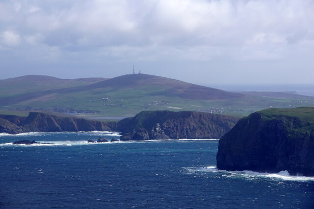
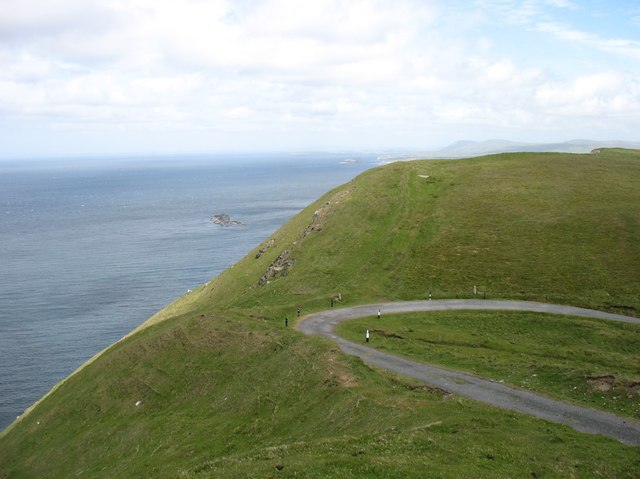
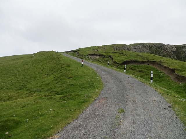
Outer Sillock is a prominent coastal feature located in Shetland, an archipelago in Scotland. It is classified as a headland or point due to its geographical characteristics and its position jutting out into the North Sea. Outer Sillock is situated in the northern part of Shetland, specifically on the west side of the mainland, near the village of Bixter.
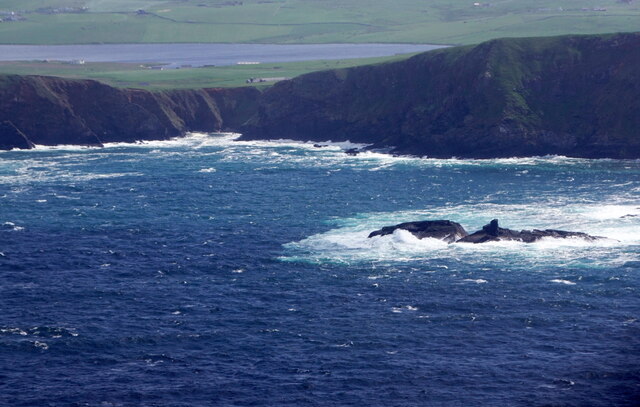
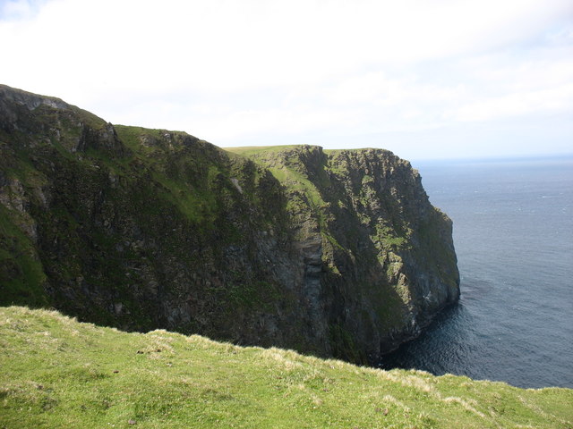
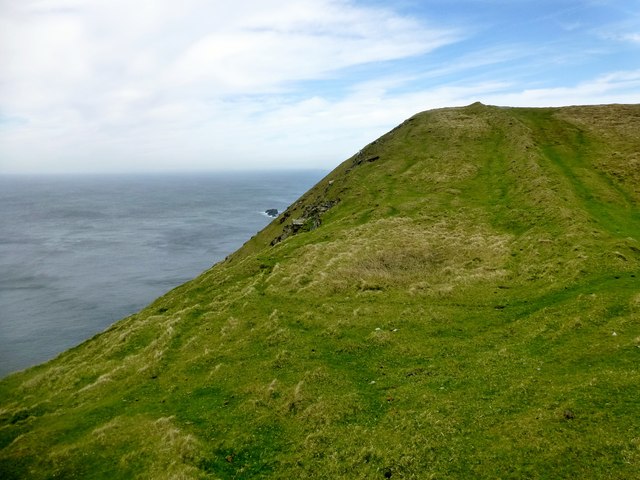
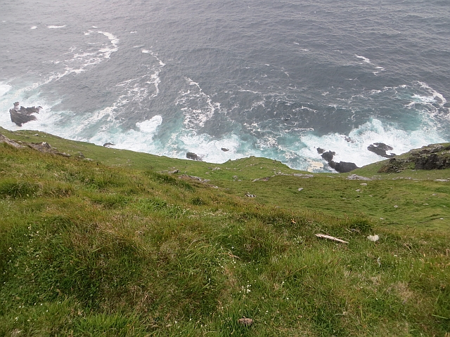
The headland is characterized by its distinctive rugged cliffs, which rise steeply from the sea to a height of approximately 60 meters (197 feet). These cliffs are composed of sedimentary rock formations, showcasing layers of different geological periods, providing valuable insights into the region's geological history. The exposed rocks display various colors, ranging from shades of gray to reddish-brown, further enhancing the visual appeal of Outer Sillock.
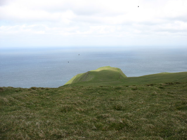
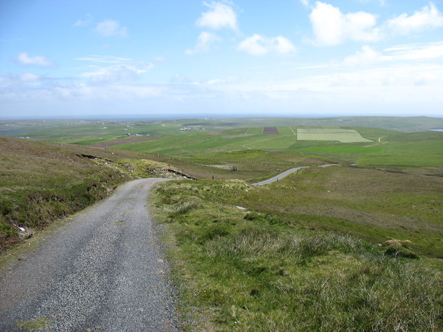
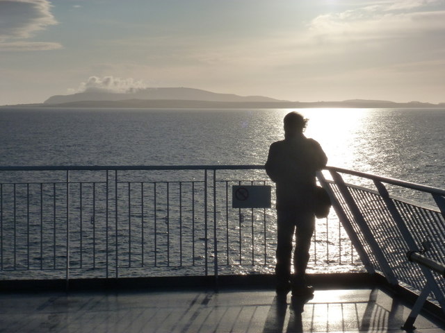
The headland offers breathtaking panoramic views of the surrounding coastal landscape, including the vast expanse of the North Sea and the nearby islands. Its strategic location also makes it an ideal spot for birdwatching, as the cliffs and nearby waters attract a diverse range of seabirds, such as gannets, puffins, and fulmars. Visitors can often witness these graceful creatures soaring through the air or nesting on the cliff ledges.
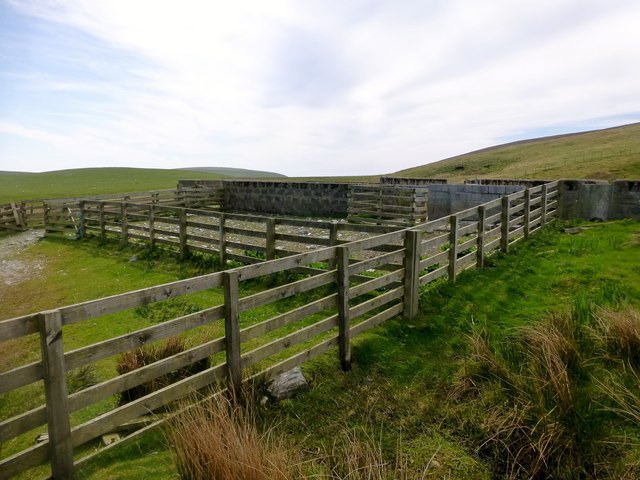
In addition to its natural beauty, Outer Sillock holds historical significance. Local folklore and archaeological evidence indicate that the headland has been inhabited for centuries. Ruins of ancient settlements and structures, including stone structures and burial sites, can still be found in the vicinity, providing a glimpse into the lives of the island's early inhabitants.
Overall, Outer Sillock stands as a captivating coastal feature, combining stunning natural scenery, rich wildlife, and a glimpse into Shetland's history, making it a must-visit destination for nature enthusiasts and history buffs alike.
If you have any feedback on the listing, please let us know in the comments section below.
Outer Sillock Images
Images are sourced within 2km of 59.91336/-1.3915404 or Grid Reference HU3414. Thanks to Geograph Open Source API. All images are credited.


Outer Sillock is located at Grid Ref: HU3414 (Lat: 59.91336, Lng: -1.3915404)
Unitary Authority: Shetland Islands
Police Authority: Highlands and Islands
What 3 Words
///succumbs.downs.chipper. Near Sumburgh, Shetland Islands
Nearby Locations
Related Wikis

Fitful Head
Fitful Head is a 283-metre-high (928 ft) headland at the southwest corner of Mainland, Shetland, Scotland, some 6 kilometres (3.7 mi) northwest of the...

Lochs of Spiggie and Brow
The Lochs of Spiggie and Brow are located west of Boddam in the parish of Dunrossness, in the South Mainland of Shetland, Scotland, about 6 km north of...

MV Braer
The MV Braer was an oil tanker which ran aground during a storm off Shetland, Scotland, in January 1993, and nearly a week later broke up during the most...

Colsay
Colsay is an uninhabited island off the South West coast of Mainland, Shetland. Fora Ness lies to the south, across the Muckle Sound. The highest elevation...
Have you been to Outer Sillock?
Leave your review of Outer Sillock below (or comments, questions and feedback).