Mary's Dub
Coastal Feature, Headland, Point in Northumberland
England
Mary's Dub

Mary's Dub is a prominent coastal feature located in Northumberland, England. It is a picturesque headland that juts out into the North Sea, forming a distinctive point along the coastline. The name "Dub" refers to a small body of water, often a pool or pond, which can be found at the base of the headland.
The headland itself is characterized by its rugged beauty, with steep cliffs that offer breathtaking views of the surrounding sea. It is a popular spot for nature enthusiasts and hikers, who are drawn to its dramatic landscape and diverse wildlife.
At low tide, a sandy beach emerges at the foot of Mary's Dub, providing visitors with an opportunity to explore the area and enjoy the tranquil surroundings. The beach is also dotted with interesting rock formations and tidal pools, adding to the charm and intrigue of the location.
Mary's Dub is known for its rich history, with archaeological evidence suggesting human occupation in the area dating back thousands of years. It is believed to have served as a strategic vantage point for ancient civilizations, and remnants of ancient structures can still be found on the headland.
In addition to its natural and historical significance, Mary's Dub is a designated conservation area, aimed at preserving its unique ecosystem and protecting the diverse plant and animal species that call it home.
Overall, Mary's Dub is a captivating coastal feature that offers visitors a chance to immerse themselves in the beauty of Northumberland's rugged coastline, explore its rich history, and enjoy the tranquility of its natural surroundings.
If you have any feedback on the listing, please let us know in the comments section below.
Mary's Dub Images
Images are sourced within 2km of 55.184947/-1.4982399 or Grid Reference NZ3287. Thanks to Geograph Open Source API. All images are credited.


Mary's Dub is located at Grid Ref: NZ3287 (Lat: 55.184947, Lng: -1.4982399)
Unitary Authority: Northumberland
Police Authority: Northumbria
What 3 Words
///refills.agents.engulfing. Near Newbiggin-by-the-Sea, Northumberland
Nearby Locations
Related Wikis

St Bartholomew's Church, Newbiggin-by-the-Sea
St Bartholomew's Church, Newbiggin-by-the-sea is the parish church of Newbiggin-by-the-Sea, Tyne and Wear, England. The building is part of the Diocese...
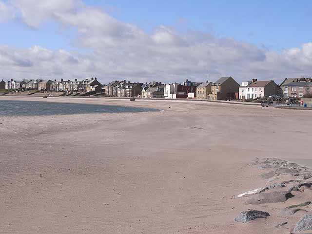
Newbiggin-by-the-Sea
Newbiggin-by-the-Sea is a seaside town and civil parish in Northumberland, England, located on the North Sea coast. The town is a fishing port and formerly...

Newbiggin-by-the-Sea railway station
Newbiggin-by-the-Sea railway station, also referred to as Newbiggin station, served the town of Newbiggin-by-the-Sea, Northumberland, England from 1872...

Woodhorn
Woodhorn is a village and former civil parish, now in the parish of Newbiggin by the Sea, in Northumberland, England, about 2 miles (3 km) east of Ashington...

Lynemouth power station
Lynemouth Power Station is a biomass power plant which provides electricity for the UK National Grid. Until March 2012, it was the main source of electricity...
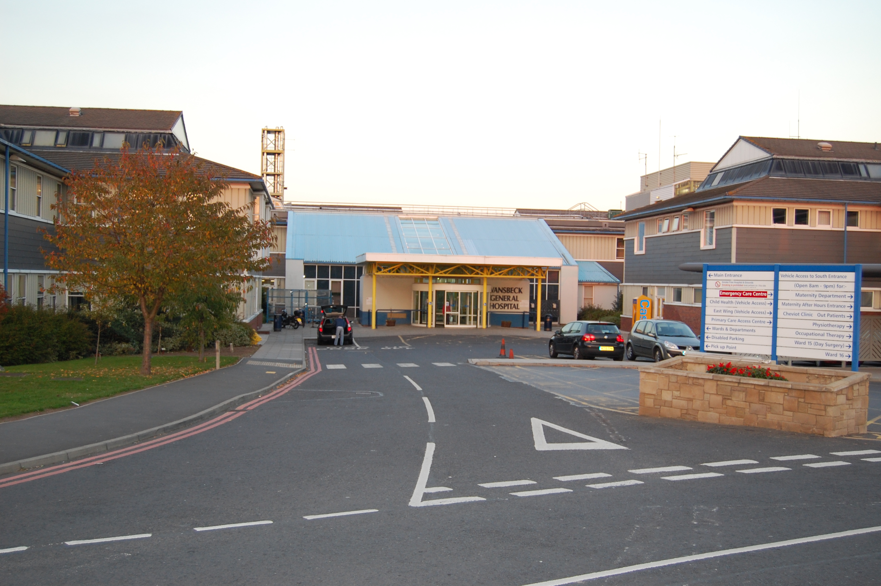
Wansbeck General Hospital
Wansbeck General Hospital is a district general hospital based in Ashington, Northumberland, England. It is managed by Northumbria Healthcare NHS Foundation...
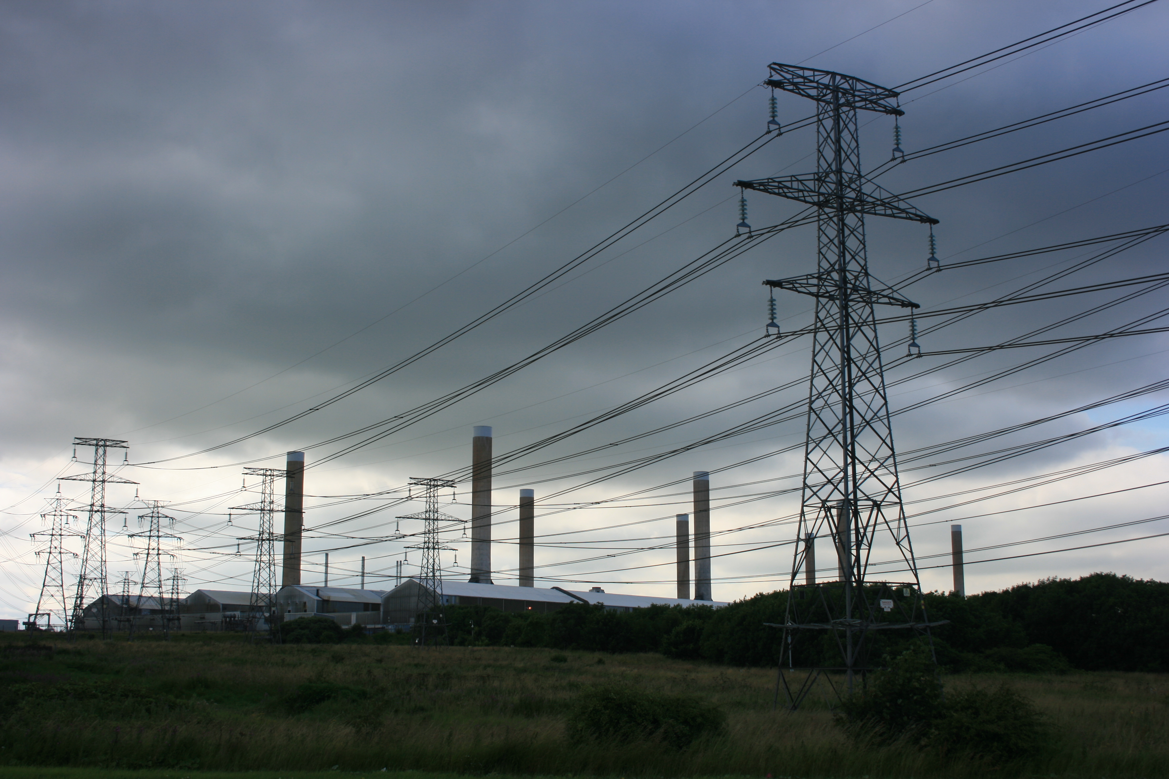
Alcan Lynemouth Aluminium Smelter
The Alcan Lynemouth Aluminium Smelter was an industrial facility near Ashington, Northumberland, on the coast of North East England, 0.65 mi (1.05 km)...
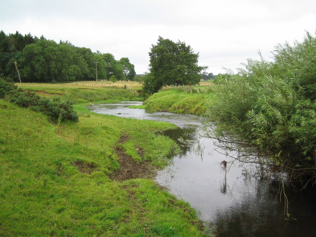
River Wansbeck
The River Wansbeck runs through the county of Northumberland, England. It rises above Sweethope Lough on the edge of Fourlaws Forest in the area known...
Related Videos

Caravan Tour of caravan number 6 at Church Point Holiday Park Fairways. Parkdean Resorts.
Caravan Tour of caravan number 6 at Church Point Holiday Park Fairways in Newbiggin -By - The - Sea. This is a Parkdean ...

Newbiggin-by-the-Sea, Northumberland【4K】| Town Centre Walk 2021
Join me for a walk around the centre of the windswept Northumberland town of Newbiggin-by-the-Sea, located just east of the ...
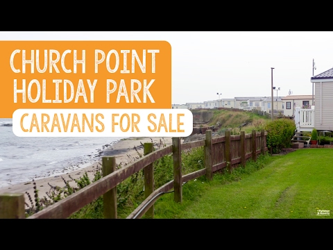
Caravans For Sale at Church Point Holiday Park, Northumberland
Discover why you should buy a holiday home at Church Point Holiday Park in Northumberland. Church Point Holiday Park is ...
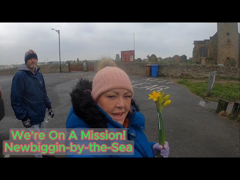
We're On A Mission in Newbiggin by the Sea
A day in the life of Yorkshire's Finest pair. We're On A Mission in Newbiggin by the Sea Plus Walk around the main street with our ...
Nearby Amenities
Located within 500m of 55.184947,-1.4982399Have you been to Mary's Dub?
Leave your review of Mary's Dub below (or comments, questions and feedback).