Red Geo
Coastal Feature, Headland, Point in Shetland
Scotland
Red Geo
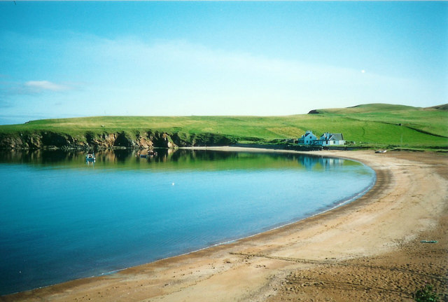
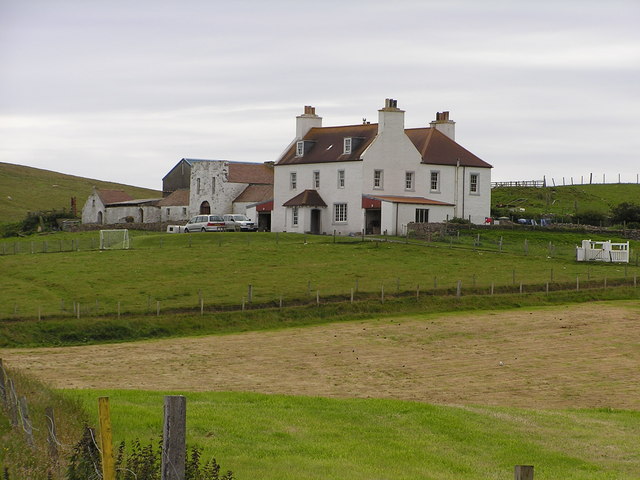
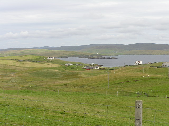
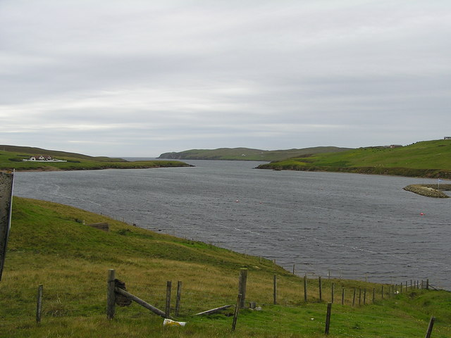
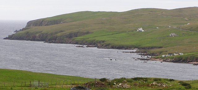
Red Geo is a prominent coastal feature located in Shetland, an archipelago in Scotland. It is classified as a headland, also commonly referred to as a point due to its distinctive shape and geographical characteristics. Red Geo is situated on the western coast of the Shetland Mainland, near the village of Walls.
This coastal feature gets its name from the red sandstone cliffs that dominate its landscape. These cliffs rise steeply from the sea, reaching heights of approximately 100 meters (330 feet). The vibrant red color of the sandstone is a result of iron oxide deposits present in the rock composition, giving Red Geo a unique and visually striking appearance.
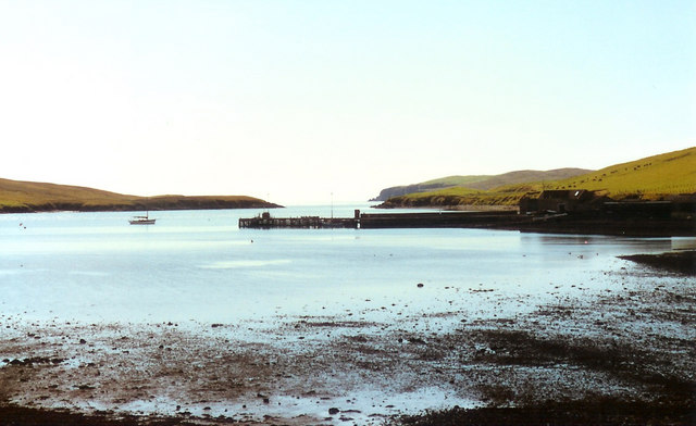
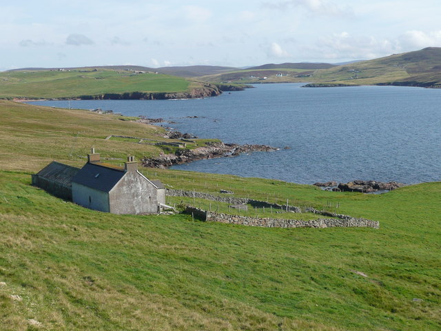
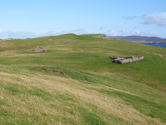
The area surrounding Red Geo is marked by rugged and dramatic scenery. The headland juts out into the North Atlantic Ocean, offering stunning panoramic views of the surrounding coastline and the open sea. The exposed location of Red Geo also makes it susceptible to strong winds and crashing waves, creating an exhilarating and dynamic environment.
The headland is home to a variety of bird species, including seabirds such as puffins, kittiwakes, and guillemots. These birds nest along the cliffs, taking advantage of the sheltered ledges and abundant food sources in the surrounding waters.
Red Geo is a popular destination for outdoor enthusiasts and nature lovers. It offers opportunities for hiking, birdwatching, and photography. Visitors can explore the coastal trails, admire the geological formations, and experience the raw power of the ocean waves crashing against the cliffs.
In conclusion, Red Geo is a captivating headland located in Shetland, known for its striking red sandstone cliffs, breathtaking views, and diverse wildlife.
If you have any feedback on the listing, please let us know in the comments section below.
Red Geo Images
Images are sourced within 2km of 60.168501/-1.4250155 or Grid Reference HU3242. Thanks to Geograph Open Source API. All images are credited.


Red Geo is located at Grid Ref: HU3242 (Lat: 60.168501, Lng: -1.4250155)
Unitary Authority: Shetland Islands
Police Authority: Highlands and Islands
What 3 Words
///twins.slim.earmarked. Near Scalloway, Shetland Islands
Nearby Locations
Related Wikis

Skeld
Skeld (Old Norse: Skjolðr, Shield or shelter) refers to two villages on the south side of the West Mainland of Shetland, Scotland. The main village is...

Silwick
Silwick, a once thriving community in the West Mainland, Shetland, Scotland about three miles from Skeld, is now almost deserted. The area has dramatic...

Westerwick
Westerwick is a settlement on Mainland in Shetland, Scotland. The settlement is within the parish of Sandsting. It faces south with high cliffs on both...

Hildasay
Hildasay (Scots: Hildasay; Old Norse: Hildisey) (from the Old Norse masculine name Hildir with ey "island"), also known as Hildisay, is an uninhabited...

North Havra
North Havra (Old Norse: Hafrey, ocean island) is a small island off south west Shetland. It is 30 metres at its highest point. Situated 1/3 mile from the...
Cheynies
The Cheynies are a group of reefs and small islands, between Oxna and Hildasay in the Shetland Islands, Scotland. They have been considerably eroded in...

Linga, Scalloway Islands
Linga is a small island off Hildasay in the Shetland Islands. It is one of the Scalloway Islands. Haswell-Smith compares Hildasay and the adjacent islands...

Sandsting
Sandsting is a parish in the West Mainland of Shetland, Scotland, forming a southern arm of the Walls Peninsula. After the parish of Aithsting was annexed...
Have you been to Red Geo?
Leave your review of Red Geo below (or comments, questions and feedback).