Sandy Geo

Coastal Feature, Headland, Point in Shetland

Scotland

Sandy Geo

Ronas Voe Looking down from the end of the road that passes along the south west side of the voe, looking out to sea.
Ronas Voe Credit: Stephen McKay

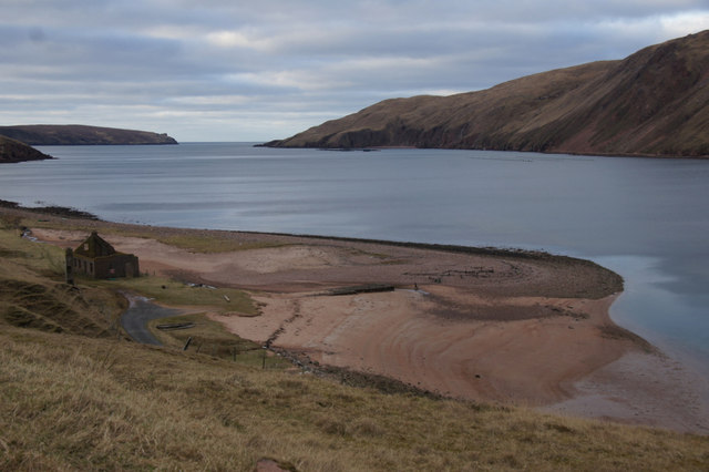
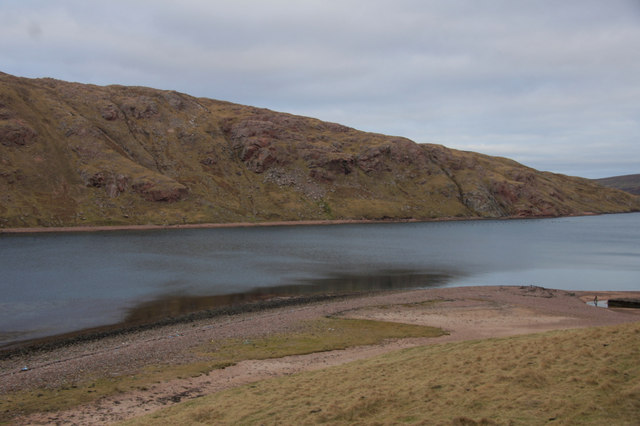
Sandy Geo is a coastal feature located in the Shetland Islands, an archipelago in Scotland. It is classified as a headland or a point, depending on the definition one applies. Sandy Geo is situated on the northern coast of Shetland, specifically on the mainland near the village of Haroldswick.

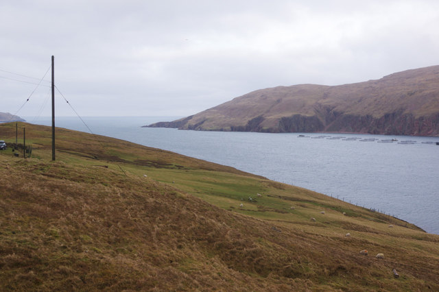
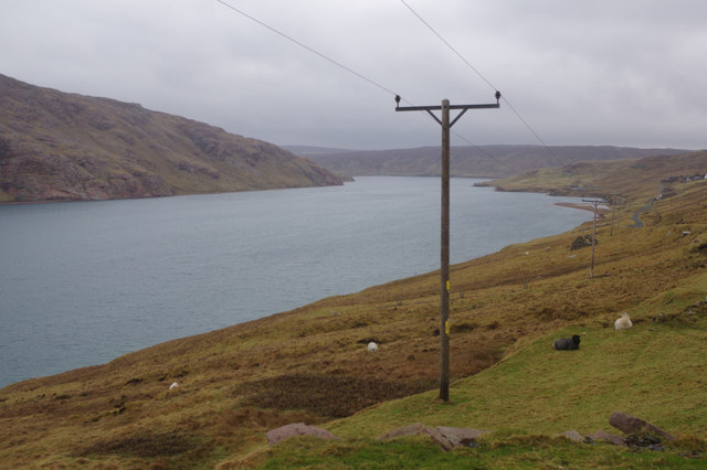
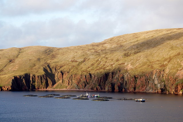
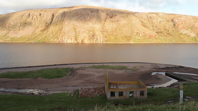
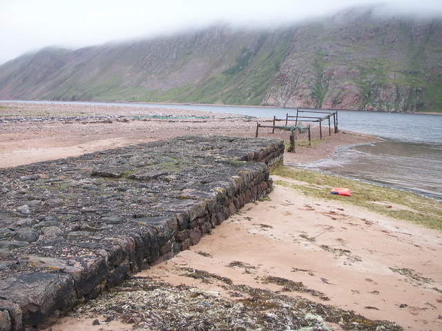
The name "Sandy Geo" is derived from the Old Norse word "gjá," which means a narrow bay or inlet. This accurately describes the geographical characteristics of the area. Sandy Geo is a small, narrow bay with sandy beaches and rocky cliffs surrounding it. The bay opens up to the North Sea, providing a picturesque view of the ocean.

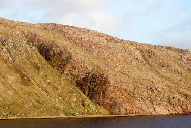
The headland or point of Sandy Geo is formed by a combination of erosion and deposition processes. The constant action of waves and tides has shaped the coastal feature over time. The sandy beaches are a result of the deposition of sediments brought in by the ocean currents, while the rocky cliffs are formed by the erosion of the underlying rock layers.

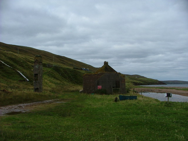
Sandy Geo is known for its natural beauty and serves as a popular tourist attraction in the Shetland Islands. Visitors can enjoy stunning views of the rugged coastline, take leisurely walks along the sandy beaches, or explore the rock formations. The area is also home to a diverse range of wildlife, including seabirds, seals, and occasionally, otters.

Overall, Sandy Geo is a captivating coastal feature in the Shetland Islands, combining sandy beaches, rocky cliffs, and breathtaking views of the North Sea.

If you have any feedback on the listing, please let us know in the comments section below.

Sandy Geo Images

Images are sourced within 2km of 60.522701/-1.4930919 or Grid Reference HU2782. Thanks to Geograph Open Source API. All images are credited.

Ronas Voe Looking down from the end of the road that passes along the south west side of the voe, looking out to sea.
Ronas Voe
Looking down from the end of the road that passes along the south west side of the voe, looking out to sea.
Ronas Voe Seen from the end of the road on the south west side, Ronas Voe is Shetland's longest sea loch.
Ronas Voe
Seen from the end of the road on the south west side, Ronas Voe is Shetland's longest sea loch.
Fish farm in Ronas Voe from Heylor
The Trip, Ronas Voe
The Trip, Ronas Voe
Waterfalls at the Brough, Ronas Voe, from Heylor
The Blade and Ronas Hill
Gersfield Water A bleak Gersfield Water sits on top of the hill to the north of the White Grunafirth.
Gersfield Water
A bleak Gersfield Water sits on top of the hill to the north of the White Grunafirth.
Pier at the Blade, Ronas Voe
Heylor - derelict herring processing station Wooden sheds once stood on either side of the chimney stack on the left of the picture - to accommodate the 'herring girls' who worked in teams of three: two gutting and one packing the herring, paid by the barrel.
Heylor - derelict herring processing station
Wooden sheds once stood on either side of the chimney stack on the left of the picture - to accommodate the 'herring girls' who worked in teams of three: two gutting and one packing the herring, paid by the barrel.
Crookna Water Crookna Water is a shallow and rather sterile looking loch with Ronas Hill rising into the mist behind it. There is a lot of fine peat silt in the loch from the erosion on the slopes of the White Grunnafirth.
Crookna Water
Crookna Water is a shallow and rather sterile looking loch with Ronas Hill rising into the mist behind it. There is a lot of fine peat silt in the loch from the erosion on the slopes of the White Grunnafirth.
Crookna Water brig An old cart brig across the outflow burn.
Crookna Water brig
An old cart brig across the outflow burn.
Derelict croft house On the shores of Ronas Voe at Heylor the remains of a crofter's home.
Derelict croft house
On the shores of Ronas Voe at Heylor the remains of a crofter's home.
Mid Summer at Abram's Ward After summiting on nearby Ronas Hill for midnight at mid summer it was such a glorious evening I took a walk over to this cairn arriving at 0110.  It only became necessary to use a torch to read the map and get a compass bearing around the hillside to Collafirth Hill where I had parked my motorbike.  I was told this has been the best midsummer evening in over 20 years.  What a way to spend an evening.
Mid Summer at Abram's Ward
After summiting on nearby Ronas Hill for midnight at mid summer it was such a glorious evening I took a walk over to this cairn arriving at 0110. It only became necessary to use a torch to read the map and get a compass bearing around the hillside to Collafirth Hill where I had parked my motorbike. I was told this has been the best midsummer evening in over 20 years. What a way to spend an evening.
The Blade, Ronas Voe An old fishing station - the pier is engulfed by sand, just about dead centre of the photo.
The Blade, Ronas Voe
An old fishing station - the pier is engulfed by sand, just about dead centre of the photo.
The Blade, Ronas Voe
The Trip, Ronas Voe The cliff in the centre is the Trip. The cairn on Abram's Ward is visible on the horizon.
The Trip, Ronas Voe
The cliff in the centre is the Trip. The cairn on Abram's Ward is visible on the horizon.
View across Ronas Voe to Ronas Hill from Heylor
The Brough, Ronas Voe Two precipitous burns come down the cliff here.
The Brough, Ronas Voe
Two precipitous burns come down the cliff here.
Show me another place!

Sandy Geo is located at Grid Ref: HU2782 (Lat: 60.522701, Lng: -1.4930919)

Unitary Authority: Shetland Islands

Police Authority: Highlands and Islands

What 3 Words

///eliminate.clash.safest. Near Brae, Shetland Islands

Related Wikis

Ronas Voe

Ronas Voe (pronounced [ˈrø̞nis ˌvo̞:] Shetland Dialect: Rønies Voe) is a voe in Northmavine, Shetland. It divides the land between Ronas Hill, Shetland...

Heylor

Heylor is a settlement situated on the south side of Ronas Voe in Northmavine, Shetland, Scotland. It lies directly opposite Ronas Hill, Shetland's tallest...

Tingon

Tingon is a peninsula in the north-west of Northmavine, Shetland. It is delineated on the east by Ronas Voe, and on the west by Hamnavoe. It is designated...

Ronas Hill

Ronas Hill (or Rönies Hill) is a hill in Shetland, Scotland. It is classed as a Marilyn, and is the highest point in the Shetland Islands at an elevation...

Have you been to Sandy Geo?

Leave your review of Sandy Geo below (or comments, questions and feedback).