Bitch Geo
Coastal Feature, Headland, Point in Shetland
Scotland
Bitch Geo
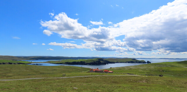
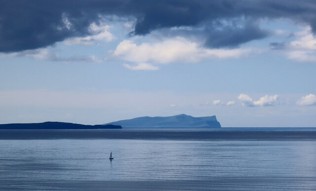
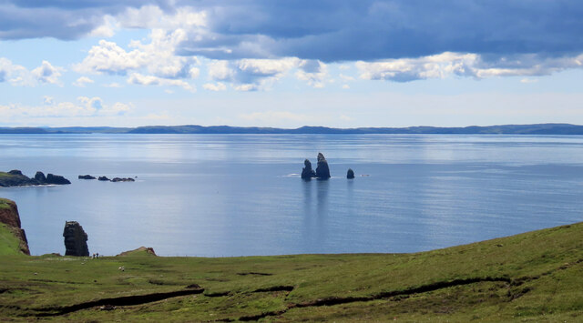
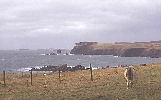
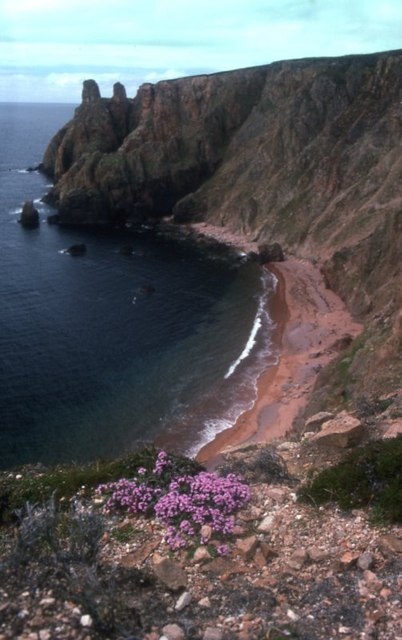
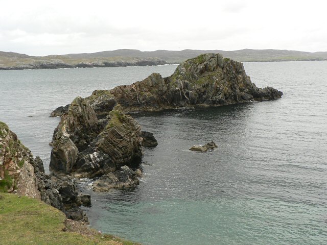
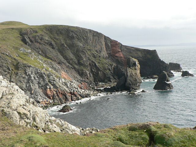
Bitch Geo is a coastal feature located on the Shetland Islands, situated in the North Atlantic Ocean. It is a prominent headland or point that juts out into the sea, offering stunning views of the surrounding landscape. Bitch Geo is known for its rugged beauty and dramatic cliffs that rise up from the crashing waves below.
The name "Bitch Geo" may seem peculiar, but it is actually derived from the Old Norse language, where "geo" means a small bay or inlet. The term "bitch" in this context refers to a small bite or bay, rather than its modern connotation. The name accurately describes the geographical characteristics of this coastal feature, as it is a small bay surrounded by cliffs and rocky outcrops.
The headland is composed of sedimentary rocks, such as sandstone and shale, which have been shaped and sculpted by the relentless forces of the sea over thousands of years. This geological formation has created a unique landscape with towering cliffs that provide nesting sites for seabirds like puffins and guillemots.
Bitch Geo is a popular destination for nature enthusiasts, hikers, and photographers who are drawn to its picturesque scenery and abundant wildlife. Visitors can enjoy coastal walks along the cliff tops, taking in panoramic views of the North Sea and the surrounding islands. The area is also rich in marine life, with seals often spotted basking on the rocks and otters occasionally seen playing in the nearby waters.
Overall, Bitch Geo is a captivating coastal feature on the Shetland Islands, offering visitors a glimpse into the raw beauty of nature and the powerful forces that have shaped this unique headland.
If you have any feedback on the listing, please let us know in the comments section below.
Bitch Geo Images
Images are sourced within 2km of 60.469645/-1.5067405 or Grid Reference HU2776. Thanks to Geograph Open Source API. All images are credited.
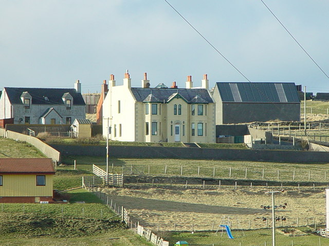
![St Magnus Bay Hotel, Hillswick, Shetland Built in 1900 by the North of Scotland Ferry company. Still functioning, just [in 2004], but the absentee landlord is clearly not interested in maintaining it as a hotel, which is sad.](https://s3.geograph.org.uk/photos/00/62/006251_e10baf81.jpg)


Bitch Geo is located at Grid Ref: HU2776 (Lat: 60.469645, Lng: -1.5067405)
Unitary Authority: Shetland Islands
Police Authority: Highlands and Islands
What 3 Words
///reservoir.armful.undertone. Near Brae, Shetland Islands
Nearby Locations
Related Wikis

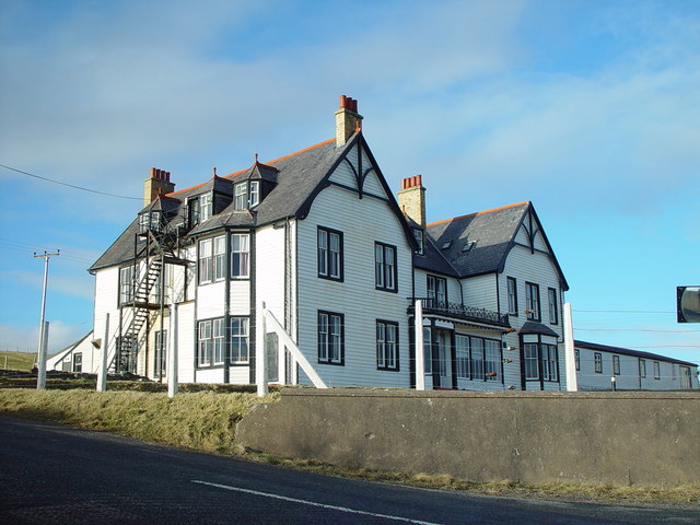
Hillswick
Hillswick is a small village in Northmavine, on the shore of the Atlantic Ocean and lies to the north-north west of Mainland, Shetland, the most northerly...

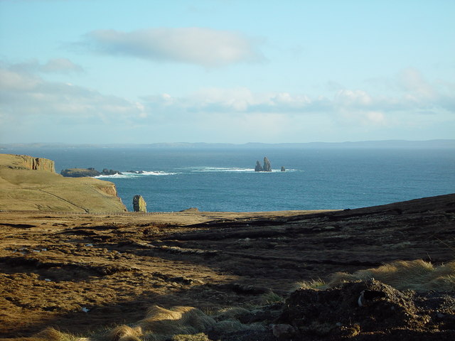
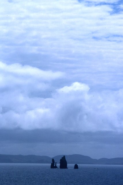
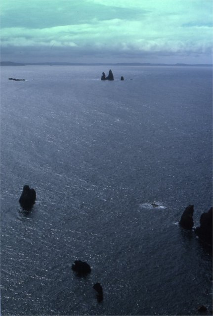
The Drongs
The Drongs are a group of sea stacks off the coast of Hillswick Ness, Northmavine, Shetland, Scotland. They lie to the west of the Isle of Westerhouse...

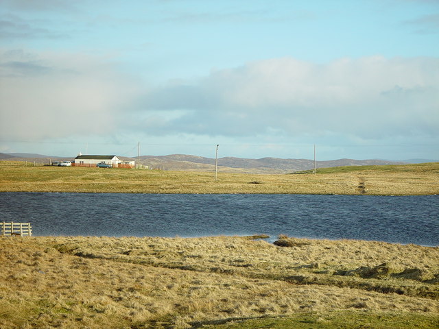
Assater
Assater (also spelled Assetter) is a hamlet on Mainland, in Shetland, Scotland. Assater is situated in the parish of Northmaven. It is about 1.3 miles...

Tangwick Haa
Tangwick Haa is an historic house and museum in Esha Ness, Northmavine, Shetland. The building has two stories in a rectangular layout and along with the...
Have you been to Bitch Geo?
Leave your review of Bitch Geo below (or comments, questions and feedback).