Caldecote, Lower

Settlement in Bedfordshire

England

Caldecote, Lower

Hill Lane, Upper Caldecote
Hill Lane, Upper Caldecote Credit: David Howard

Caldecote is a small village located in the county of Bedfordshire, England. Situated in the southern part of the county, Caldecote is part of the civil parish of Caldecote and Newnham. It is located approximately 5 miles south of the town of Biggleswade and around 50 miles north of London.

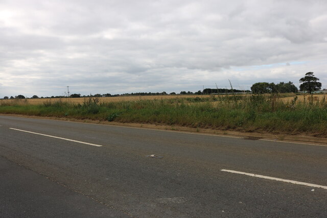
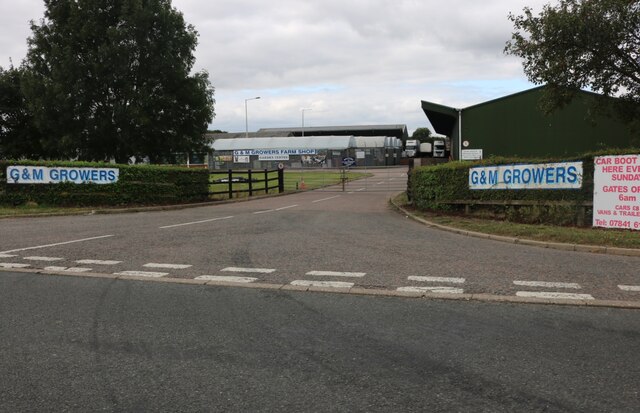
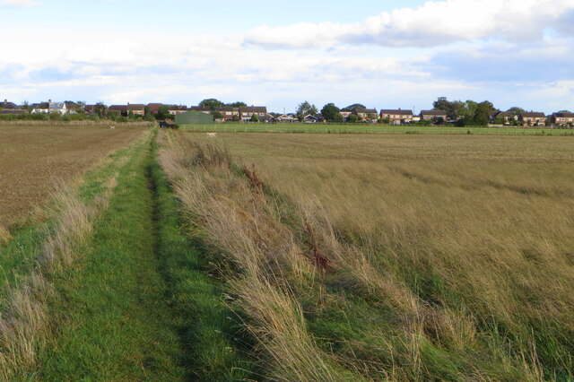
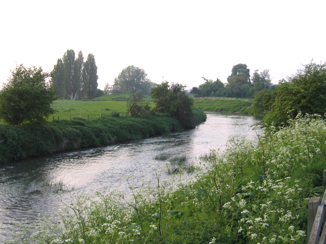
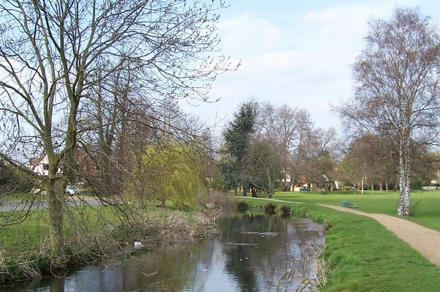
The village is predominantly rural and surrounded by open countryside, offering a peaceful and picturesque setting for residents. The area is known for its agricultural activities, with several farms and fields surrounding the village. The River Ivel flows nearby, providing a scenic spot for leisurely walks and fishing.

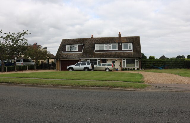
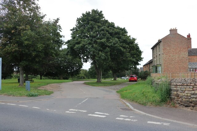
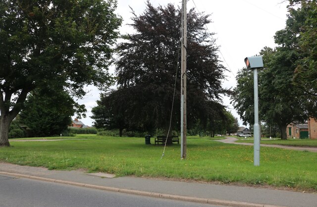
Caldecote itself has a quaint and traditional village center, with a few local amenities including a village hall and a public house. It is home to a small population, creating a close-knit community atmosphere. The village is primarily residential, with a mix of historic and modern houses.

The village is well-connected to nearby towns and cities. The A1 road runs just to the east of Caldecote, providing easy access to London and other major destinations. The closest railway station is in Biggleswade, offering regular services to London and other parts of the country.

Overall, Caldecote offers a peaceful and rural lifestyle with easy access to larger towns and cities. Its picturesque setting and strong sense of community make it an attractive place to live for those seeking a quieter pace of life.

If you have any feedback on the listing, please let us know in the comments section below.

Caldecote, Lower Images

Images are sourced within 2km of 52.105188/-0.283599 or Grid Reference TL1746. Thanks to Geograph Open Source API. All images are credited.

Hill Lane, Upper Caldecote
G&M Growers, Upper Caldecote
House on Hitchin Road, Upper Caldecote
Pound Close, Upper Caldecote I missed it at the time but the road name and sign beneath it are fairly old, but the houses are new. The cemetery and car park are directly on the left, but the road must have been there long before the new houses to use them.
Pound Close, Upper Caldecote
I missed it at the time but the road name and sign beneath it are fairly old, but the houses are new. The cemetery and car park are directly on the left, but the road must have been there long before the new houses to use them.
Lane in Brook End
Lane in Brook End
Green by Hitchin Road, Upper Caldecote
Green by Hitchin Road, Upper Caldecote That camera looks ominous, it looks more like a weapon.
Green by Hitchin Road, Upper Caldecote
That camera looks ominous, it looks more like a weapon.
Footpath into Upper Caldecote
Bench at the old Caldecote pound
Notice detail for bench at the old Caldecote pound See <a href="https://www.geograph.org.uk/photo/6985139">TL1645 : Bench at the old Caldecote pound</a>
Notice detail for bench at the old Caldecote pound
Ancient farm building on Biggleswade Road
Footpath to Beeston
Footpath to Beeston
Field and waymarker as the footpath turns sharp right
Farm track and clump of trees
Trees along the footpath to Beeston
Greensand Ridge Walk approaching Beeston
Playground on Beeston Green
Upper Caldecote recycling point
Show me another place!

Caldecote, Lower is located at Grid Ref: TL1746 (Lat: 52.105188, Lng: -0.283599)

Unitary Authority: Central Bedfordshire

Police Authority: Bedfordshire

What 3 Words

///sands.acids.tripped. Near Biggleswade, Bedfordshire

Related Wikis

Lower Caldecote

Lower Caldecote is a hamlet in the civil parish of Northill and part of the Central Bedfordshire district of Bedfordshire, England. The county town of...

Warren Villas

Warren Villas was a nature reserve managed by the Wildlife Trust for Bedfordshire, Cambridgeshire and Northamptonshire. The former site is situated by...

River Ivel

The River Ivel is a north-flowing river in the western part of east of England. It is primarily in Bedfordshire; it is a tributary of the River Great Ouse...

Potton Brook

Potton Brook rises east of Gamlingay, Cambridgeshire, and flows southwest and then south through Potton and the John O'Gaunt Golf Club and into Sutton...

Upper Caldecote

Upper Caldecote is a village in the Central Bedfordshire district of Bedfordshire, England about 8 miles (13 km) south-east of Bedford. Its population...
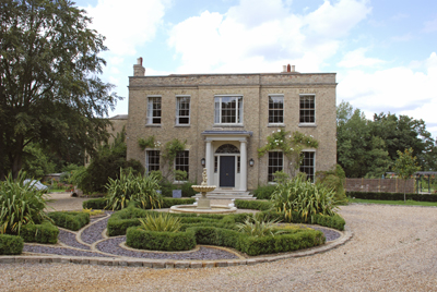
Shortmead House

Shortmead House in Biggleswade, Bedfordshire, is a two-storey Georgian manor house, first mentioned in 1543. The Grade II listed building is lived in by...

Biggleswade United F.C.

Biggleswade United Football Club is a football club based in Biggleswade, England. Affiliated to the Bedfordshire County Football Association, they are...

Beeston, Bedfordshire

Beeston is a hamlet of about 530 acres (2.1 km2) in the town of Sandy in the Wixamtree hundred of the county of Bedfordshire, England, about a half a mile...

Nearby Amenities

Located within 500m of 52.105188,-0.283599
Enforcement: maxspeed
Maxspeed: 60 mph
Lat/Long: 52.1053038/-0.2782711
Addr Housenumber: 14
Lat/Long: 52.1057789/-0.2799723
Addr Housenumber: 5
Lat/Long: 52.1038628/-0.2775763
Addr Housenumber: 6
Lat/Long: 52.1039221/-0.2776084
Addr Housenumber: 1
Lat/Long: 52.1036089/-0.2775872
Addr Housenumber: 4
Lat/Long: 52.1037209/-0.2776194
Place: farm
Lat/Long: 52.1039573/-0.2842517
Marker: yes
Ref: GPSS
Lat/Long: 52.1083118/-0.2813911
Marker: yes
Ref: GPSS
Lat/Long: 52.108171/-0.2818871
Bus Stop
Bus: yes
Public Transport: platform
Lat/Long: 52.1060337/-0.2800026
Direction: 170
Generator Method: photovoltaic
Generator Output Electricity: yes
Generator Solar Modules: 4
Generator Source: solar
Generator Type: solar_photovoltaic_panel
Location: roof
Power: generator
Lat/Long: 52.1050645/-0.2795558
Direction: 80
Generator Method: photovoltaic
Generator Output Electricity: yes
Generator Solar Modules: 11
Generator Source: solar
Generator Type: solar_photovoltaic_panel
Location: roof
Power: generator
Lat/Long: 52.1050353/-0.2795203
Direction: 170
Generator Method: photovoltaic
Generator Output Electricity: yes
Generator Solar Modules: 10
Generator Source: solar
Generator Type: solar_photovoltaic_panel
Location: roof
Power: generator
Lat/Long: 52.1049604/-0.2800731
Direction: 170
Generator Method: photovoltaic
Generator Output Electricity: yes
Generator Solar Modules: 16
Generator Source: solar
Generator Type: solar_photovoltaic_panel
Location: roof
Power: generator
Lat/Long: 52.1056624/-0.2812456
Lower Caldecote
Place: hamlet
Source: local knowledge
Wikidata: Q741802
Wikipedia: en:Lower Caldecote
Lat/Long: 52.1047703/-0.2789058
The data included in this document is from www.openstreetmap.org. The data is made available under ODbL.

Have you been to Caldecote, Lower?

Leave your review of Caldecote, Lower below (or comments, questions and feedback).