Black Kirk Rock

Coastal Feature, Headland, Point in Northumberland

England

Black Kirk Rock

Newton Point - former US Navy LORAN site
Newton Point - former US Navy LORAN site Credit: J M Briscoe

Black Kirk Rock is a prominent coastal feature located in Northumberland, England. It is a headland or point that extends into the North Sea, offering breathtaking views and a unique geological landscape. The rock is situated near the village of Boulmer and is a popular destination for nature lovers, hikers, and photographers.

The distinctive feature of Black Kirk Rock is its dark and jagged appearance, which is a result of the volcanic rocks that form its composition. These rocks are believed to have been formed during the Carboniferous period, approximately 300 million years ago. Over time, erosion has sculpted the rock into its current shape, creating a rugged and imposing landmark.

The headland is known for its rich biodiversity, with a variety of plant and animal species inhabiting the area. It provides a habitat for seabirds, such as kittiwakes, fulmars, and guillemots, which can be observed nesting on the cliffs during breeding season. The surrounding waters are home to seals and dolphins, adding to the area's natural beauty.

Visitors to Black Kirk Rock can explore the headland by following a network of footpaths that wind along the cliffs. These paths provide stunning views of the North Sea and the surrounding coastline, making it a popular spot for scenic walks and picnics. The area is also a favorite among photographers, who come to capture the dramatic landscapes and the play of light on the rock formations.

Overall, Black Kirk Rock is a captivating coastal feature that showcases the geological history and natural beauty of Northumberland. Its unique appearance, diverse wildlife, and panoramic views make it a must-visit destination for both locals and tourists alike.

If you have any feedback on the listing, please let us know in the comments section below.

Black Kirk Rock Images

Images are sourced within 2km of 55.521761/-1.6124691 or Grid Reference NU2425. Thanks to Geograph Open Source API. All images are credited.

Newton Point - former US Navy LORAN site
Dunstanburgh Castle from Embleton Bay
Embleton Beach Arguably one of the best beaches in Northumberland. The fine sand contains hundreds of small intricate shells
Embleton Beach
Arguably one of the best beaches in Northumberland. The fine sand contains hundreds of small intricate shells
Newton Haven Taken from just South of Newton Point (NU245251) with Embleton Bay and Dunstanborough Castle in the distance.
Newton Haven
Taken from just South of Newton Point (NU245251) with Embleton Bay and Dunstanborough Castle in the distance.
Southern half of Beadnell Bay This huge bay takes up nearly three grid squares. Dunstanborough Castle can just be made out on the horizon
Southern half of Beadnell Bay
This huge bay takes up nearly three grid squares. Dunstanborough Castle can just be made out on the horizon
Football Hole Bay Photo taken from the North end of the bay just South of Beadnell Bay
Football Hole Bay
Photo taken from the North end of the bay just South of Beadnell Bay
Football Hole Bay View from the South near Newton Point.  On this day a flock of Goldeneye were riding the waves in the bay.
Football Hole Bay
View from the South near Newton Point. On this day a flock of Goldeneye were riding the waves in the bay.
Newton by the Sea and Newton Pool Newton Pool is a nature reserve and has a small hide
Newton by the Sea and Newton Pool
Newton Pool is a nature reserve and has a small hide
Emblestone & Out Carr Rocks exposed offshore of Low Newton.
Emblestone & Out Carr
Rocks exposed offshore of Low Newton.
Rocks offshore
Rocks offshore
St Marys Church, Low Newton St Mary's church, which dates from the end of the 19th century, is an unusual building. The church, originally purchased in kit form, is constructed from corrugated steel sheeting and features pretty stained glass windows. Used both as church and village hall in times past, the building was extensively refurbished a few years ago and continues to be in regular use.
St Marys Church, Low Newton
St Mary's church, which dates from the end of the 19th century, is an unusual building. The church, originally purchased in kit form, is constructed from corrugated steel sheeting and features pretty stained glass windows. Used both as church and village hall in times past, the building was extensively refurbished a few years ago and continues to be in regular use.
Cattle in a field A common sight in North Northumberland
Cattle in a field
A common sight in North Northumberland
Disused Quarry One of mamy quarries in the Whin Sill in this part of Northumberland
Disused Quarry
One of mamy quarries in the Whin Sill in this part of Northumberland
High Newton Farm
High Newton Farm
Cyclists on a rural byway
Snook Point Rocks exposed at low tide at the end of a headland called Snook. Snook is a popular name around here for a headland.
Snook Point
Rocks exposed at low tide at the end of a headland called Snook. Snook is a popular name around here for a headland.
Newton Point across Football Hole
Whin Sill Crag The Whin Sill is a large igneous intrusion into the rocks of Northern England. The intrusion is dated at 295 million years ago, the rock is dolerite. Several classic locations of Northern England owe their location to this sill - Hadrian's Wall, Farne Islands, Holy Island, Bamburgh Castle.
Whin Sill Crag
The Whin Sill is a large igneous intrusion into the rocks of Northern England. The intrusion is dated at 295 million years ago, the rock is dolerite. Several classic locations of Northern England owe their location to this sill - Hadrian's Wall, Farne Islands, Holy Island, Bamburgh Castle.
Show me another place!

Black Kirk Rock is located at Grid Ref: NU2425 (Lat: 55.521761, Lng: -1.6124691)

Unitary Authority: Northumberland

Police Authority: Northumbria

What 3 Words

///bleaching.accented.buckling. Near Embleton, Northumberland

Related Wikis

Newton-by-the-Sea

Newton-by-the-Sea is a civil parish in the county of Northumberland in Northern England. The parish is about 8 miles northwest of Alnwick, and lies on...

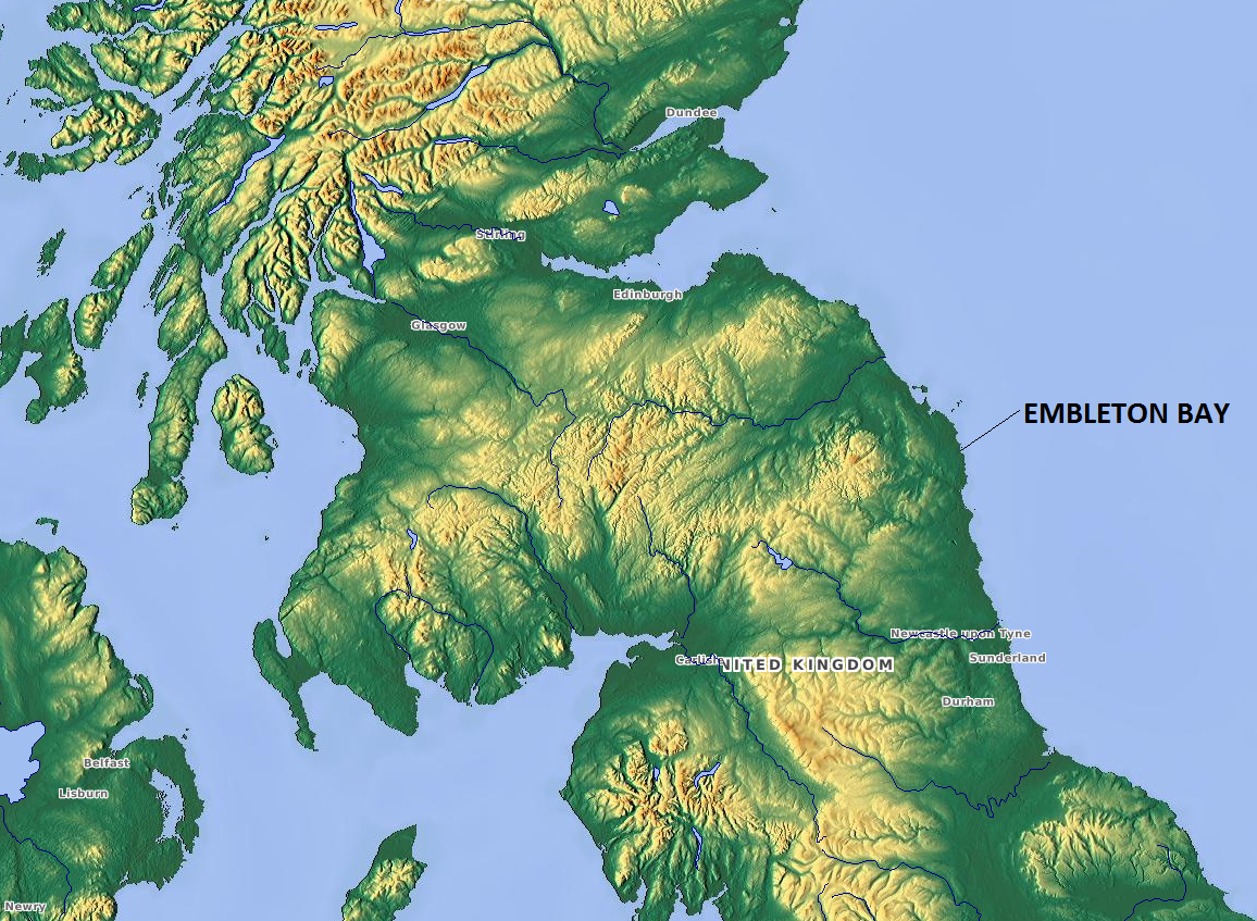
Embleton Bay

Embleton Bay is a bay on the North Sea, located to the east of the village of Embleton, Northumberland, England. It lies just to the south of Newton-by...

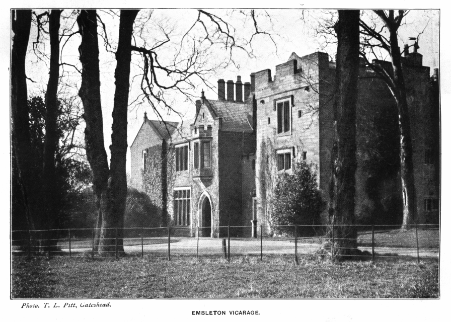
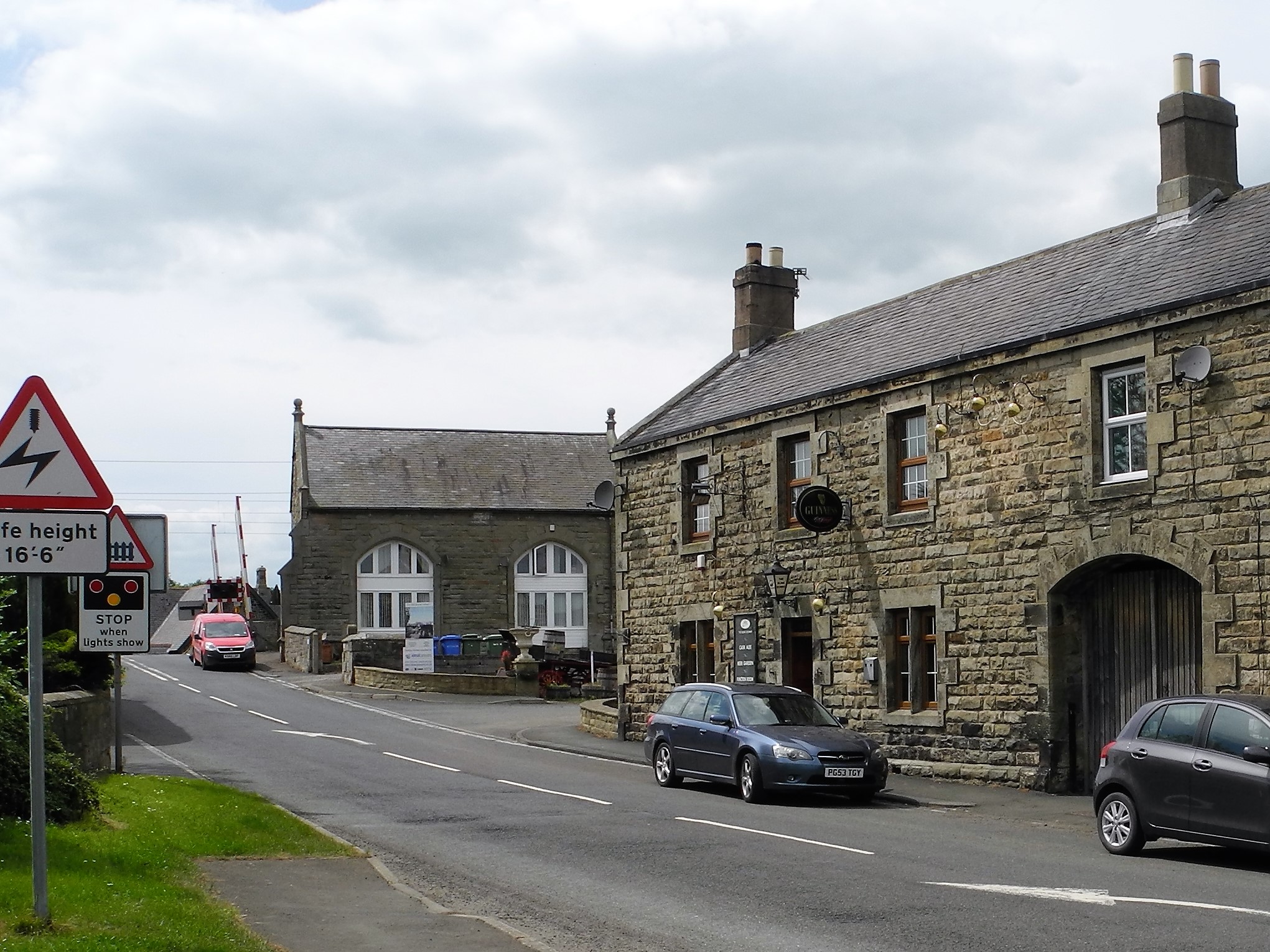
Embleton, Northumberland

Embleton is a village and civil parish in the English county of Northumberland. Besides the village of Embleton itself, the civil parish includes the settlement...

Church of the Holy Trinity, Embleton

The Church of the Holy Trinity is located in Embleton, Northumberland, England. The church, dedicated to the Holy Trinity, is west of the village. Built...

Benthall, Northumberland

Benthall is a village in Northumberland, England. It is about 6 kilometres (4 mi) south east of Bamburgh, on the North Sea coast, and 1 kilometre (⅔ mi...

Embleton Tower

Embleton Tower is a peel tower and Grade I listed building in the village of Embleton in Northumberland, England. Tradition states that in 1395, the tower...

Dunstanburgh Castle

Dunstanburgh Castle is a 14th-century fortification on the coast of Northumberland in northern England, between the villages of Craster and Embleton. The...

Christon Bank

Christon Bank is a small village in Northumberland, England, 9 miles north of the town of Alnwick. Prior to 1847 it was a small farming hamlet, which was...

Nearby Amenities

Located within 500m of 55.521761,-1.6124691
Newton Point
Place: locality
Lat/Long: 55.5213534/-1.6101304
Football Hole
Place: locality
Lat/Long: 55.5240126/-1.6189423
Lobster Carr
Place: locality
Lat/Long: 55.5209282/-1.6073154
Pern Carr
Place: locality
Lat/Long: 55.5226038/-1.6093764
Man Made: tower
Tower Type: communication
Lat/Long: 55.5203097/-1.612235
Black Kirk Rock
Place: locality
Lat/Long: 55.5218609/-1.6121591
Barrier: kissing_gate
Bicycle: no
Mapillary: 363778941721897
Lat/Long: 55.5216474/-1.6145617
Flint Hole
Place: locality
Lat/Long: 55.5204256/-1.610656
Paddle End Rock
Place: locality
Lat/Long: 55.5194478/-1.6101605
Blind Miller
Place: locality
Lat/Long: 55.5180688/-1.6139651
Ice Carr
Place: locality
Lat/Long: 55.5229457/-1.6057855
The data included in this document is from www.openstreetmap.org. The data is made available under ODbL.

Have you been to Black Kirk Rock?

Leave your review of Black Kirk Rock below (or comments, questions and feedback).