Bodies Gutter
Coastal Feature, Headland, Point in Aberdeenshire
Scotland
Bodies Gutter
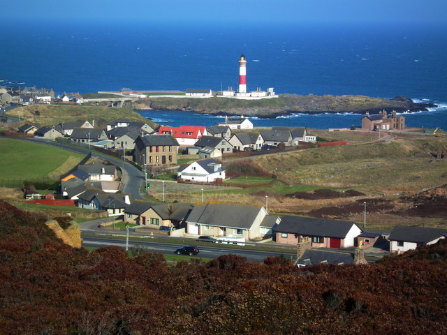
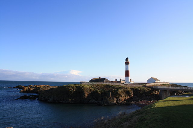
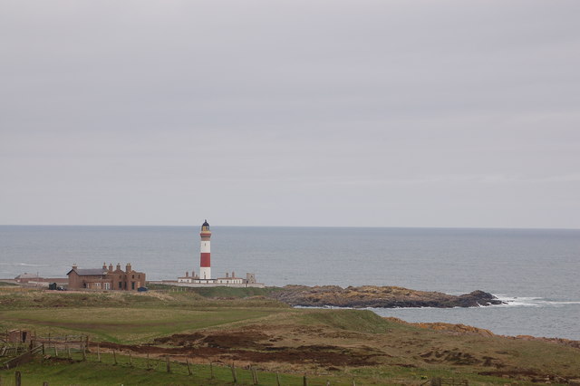
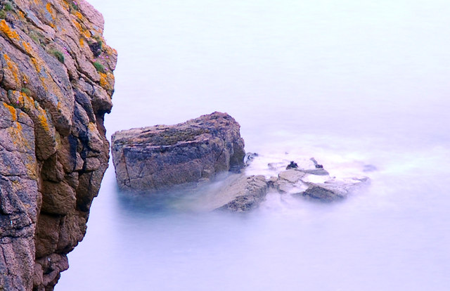
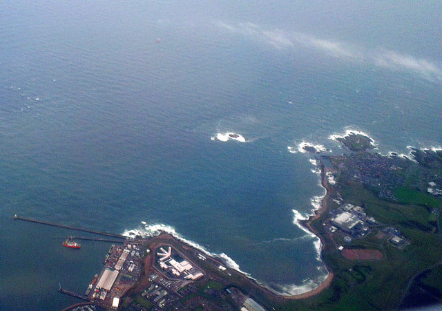
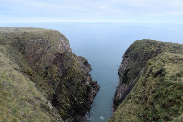
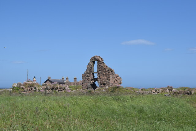
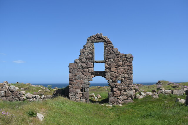
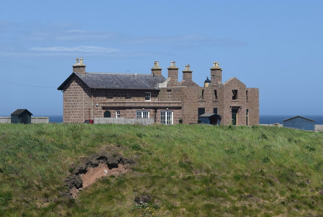
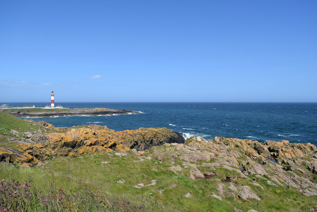
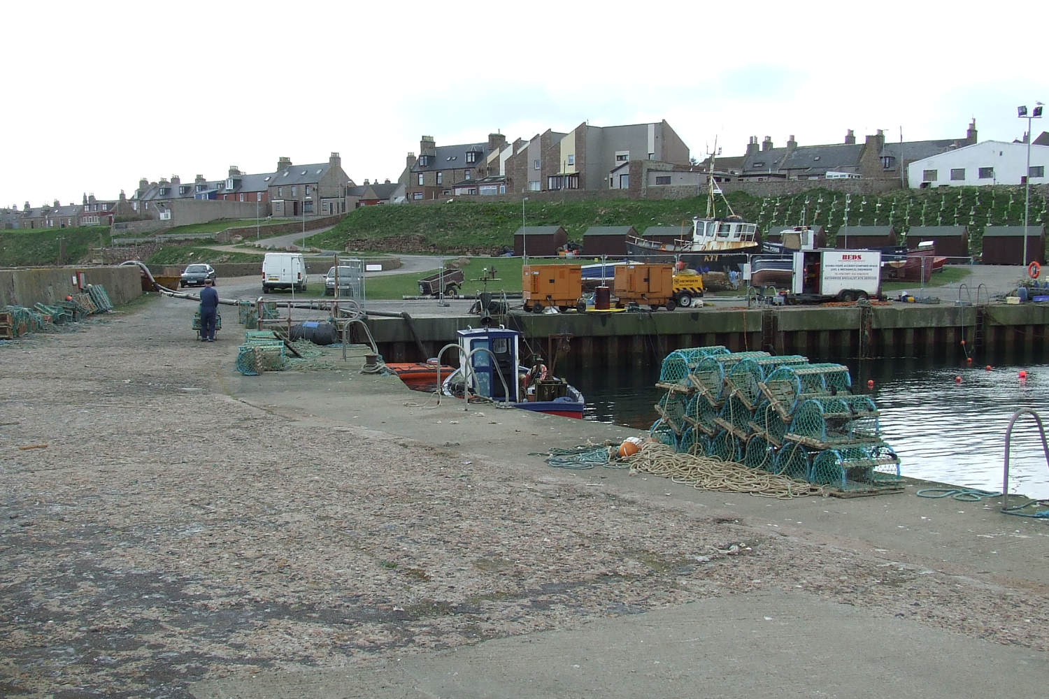
Bodies Gutter is a prominent coastal feature located in Aberdeenshire, Scotland. Situated on the eastern coast of Scotland, Bodies Gutter is a headland or point that extends out into the North Sea. It is known for its rugged cliffs, stunning views, and unique geological formations.
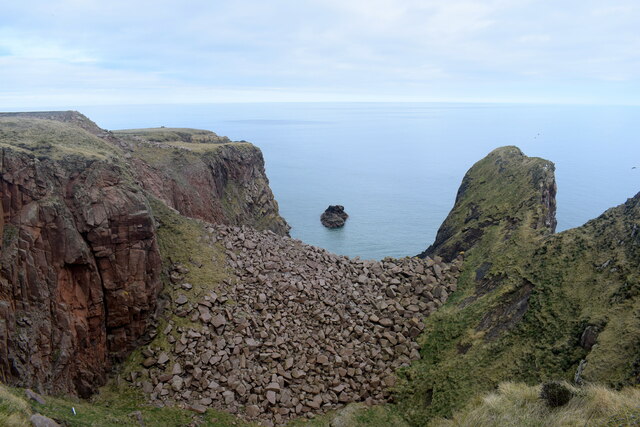
The headland is composed of a variety of rock types, including sandstone and shale, which have been shaped by the powerful waves and tides of the North Sea over thousands of years. The cliffs rise to impressive heights, providing a panoramic vista of the surrounding coastline and the sea beyond.
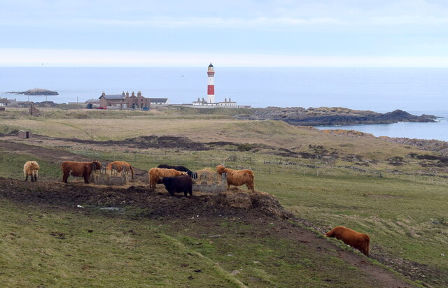
Bodies Gutter is a popular destination for outdoor enthusiasts and nature lovers. The area offers numerous walking trails along the cliff tops, allowing visitors to explore the dramatic landscape and observe the diverse plant and birdlife that thrive in this coastal environment. Peregrine falcons, fulmars, and kittiwakes are just a few of the bird species that can be spotted in the vicinity.
In addition to its natural beauty, Bodies Gutter also has historical significance. The headland is believed to have been a strategic location for the ancient Pictish people, who inhabited the area many centuries ago. Remnants of their settlements, such as stone structures and artifacts, have been discovered in the vicinity.
Overall, Bodies Gutter is a magnificent coastal feature that combines stunning natural scenery, rich biodiversity, and a glimpse into the region's historical past. It continues to captivate locals and visitors alike with its sheer beauty and awe-inspiring views.
If you have any feedback on the listing, please let us know in the comments section below.
Bodies Gutter Images
Images are sourced within 2km of 57.471721/-1.7764398 or Grid Reference NK1342. Thanks to Geograph Open Source API. All images are credited.


Bodies Gutter is located at Grid Ref: NK1342 (Lat: 57.471721, Lng: -1.7764398)
Unitary Authority: Aberdeenshire
Police Authority: North East
What 3 Words
///winner.salary.quench. Near Boddam, Aberdeenshire
Nearby Locations
Related Wikis
Boddam, Aberdeenshire
Boddam is a coastal village in Aberdeenshire, Scotland. It is 29 miles (47 km) north of Aberdeen and 3 miles (4.8 km) south of Peterhead. The settlement...

Brethren Meeting House
Brethren Meeting House is a Category C listed building at 26 Gordon Street in Boddam, Aberdeenshire, Scotland. It was formerly a late-Victorian-era Wesleyan...

Boddam Masonic Hall
Boddam Masonic Hall is an historic building in Boddam, Aberdeenshire, Scotland. It is a Category B listed structure, located a few hundred yards west of...
Boddam railway station
Boddam railway station was a railway station in Boddam, Aberdeenshire that served as the terminus of a now closed line from Ellon. == History == The station...

Boddam Castle
Boddam Castle is a ruined castle in Boddam, Aberdeenshire, Scotland. It was thought to have been built in the early 16th century as a seat for the Keiths...

Stirling Village
Stirling Village is a settlement in the Buchan area of Aberdeenshire, Scotland, located on the A90 road immediately to the west of Boddam and 3 miles...
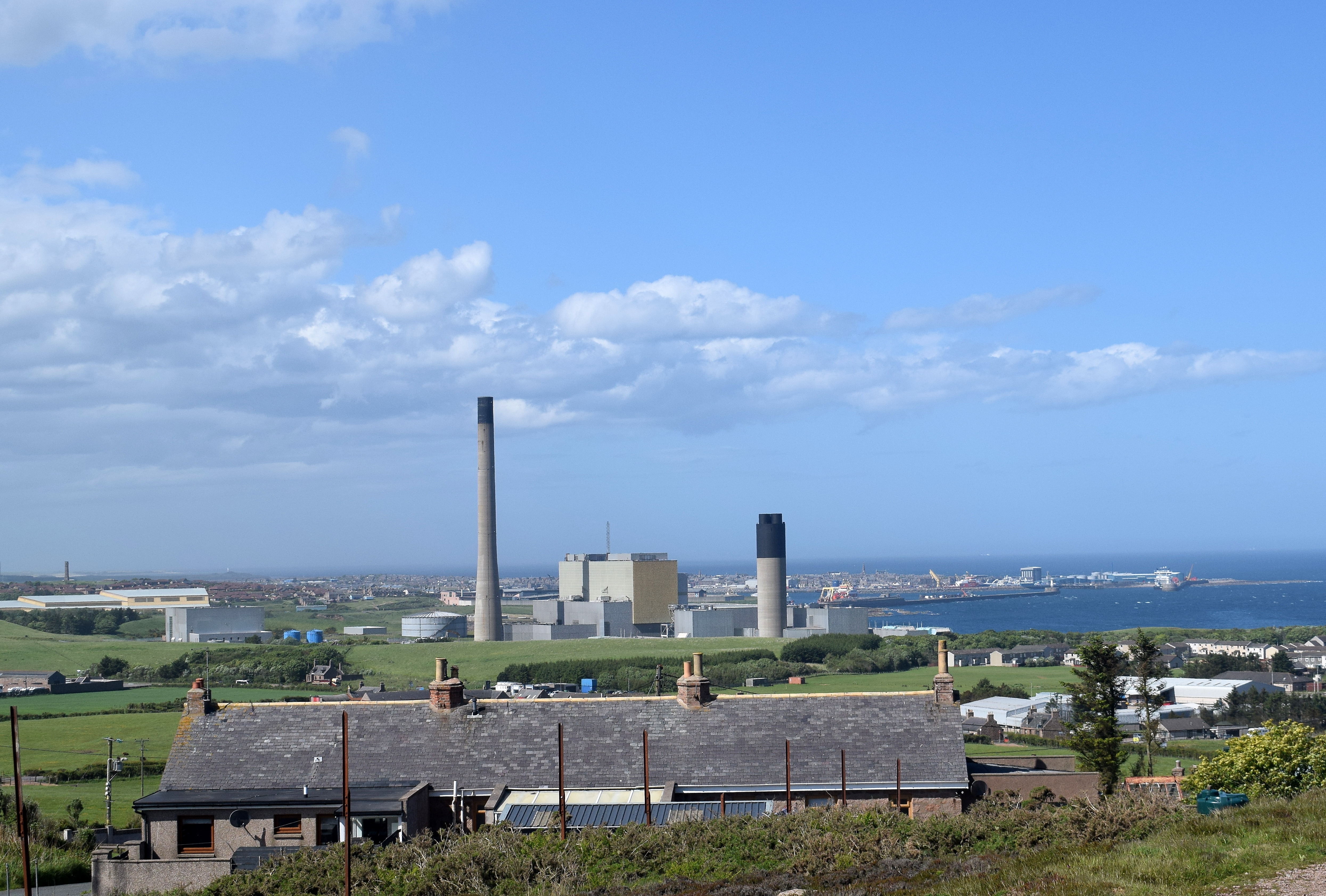
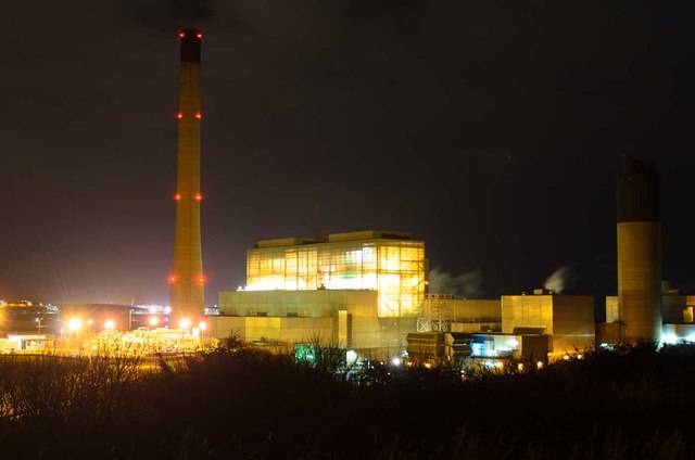
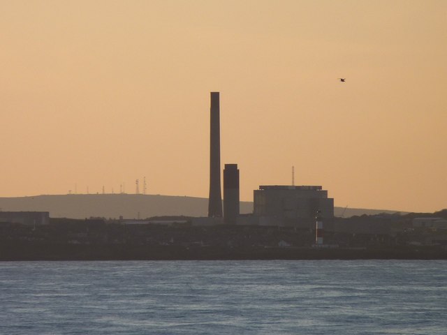
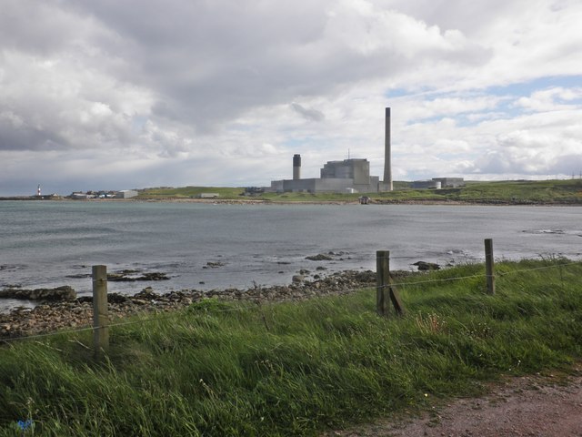
Peterhead Power Station
Peterhead Power Station is a multi-unit station owned and operated by SSE plc, with a capacity of 2,177 MW (1,550 MW transmissible). It is located near...

Sandford Lodge
Sandford Lodge is a Category B listed building in Peterhead, Aberdeenshire, Scotland. A former farmhouse, described by Charles McKean as a "miniature...
Nearby Amenities
Located within 500m of 57.471721,-1.7764398Have you been to Bodies Gutter?
Leave your review of Bodies Gutter below (or comments, questions and feedback).