Broad Gutter
Sea, Estuary, Creek in Aberdeenshire
Scotland
Broad Gutter
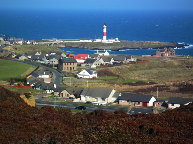
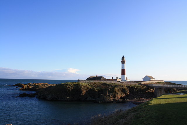
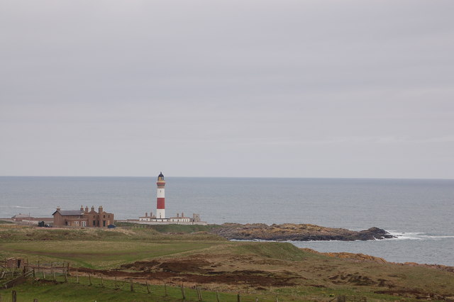
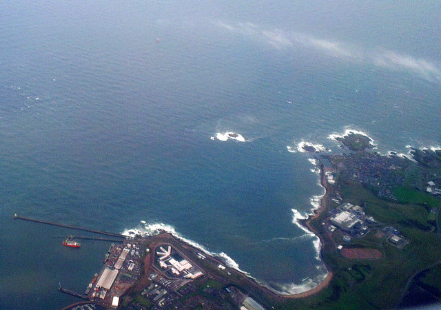
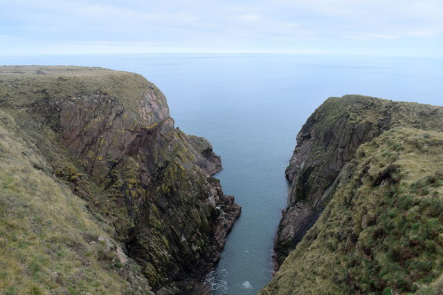
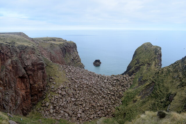
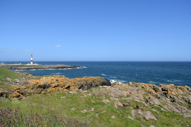
Broad Gutter is a small coastal inlet located in Aberdeenshire, Scotland. Situated on the eastern coast of the country, it is nestled between the towns of Inverallochy and St. Combs. This picturesque area is characterized by its stunning natural beauty and diverse marine ecosystem.
Broad Gutter is primarily an estuary, formed by the confluence of the River Ugie and the North Sea. The estuary extends inland, creating a creek-like waterway that stretches for approximately 2 kilometers. The area is best known for its expansive sandy beach, which provides a popular destination for locals and tourists alike, especially during the summer months.
The estuary is rich in biodiversity, attracting a wide array of marine life. The shallow waters and extensive mudflats serve as feeding and breeding grounds for various bird species, including waders and gulls. Additionally, the estuary is home to a range of fish species, such as flounder and sea trout, making it a popular spot for anglers.
The landscape surrounding Broad Gutter is characterized by rolling sand dunes, grassy banks, and patches of salt marsh. This unique combination of habitats supports a diverse range of plant species, including sea lavender and sea arrowgrass. The area is also frequented by seals, which can often be spotted basking on the sandbanks or swimming in the estuary's calm waters.
Overall, Broad Gutter in Aberdeenshire offers a tranquil coastal retreat, where visitors can immerse themselves in nature and enjoy the scenic beauty of Scotland's eastern coast.
If you have any feedback on the listing, please let us know in the comments section below.
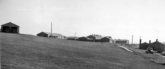
Broad Gutter Images
Images are sourced within 2km of 57.470951/-1.7727766 or Grid Reference NK1342. Thanks to Geograph Open Source API. All images are credited.


Broad Gutter is located at Grid Ref: NK1342 (Lat: 57.470951, Lng: -1.7727766)
Unitary Authority: Aberdeenshire
Police Authority: North East
What 3 Words
///plugs.supposing.croaking. Near Boddam, Aberdeenshire
Nearby Locations
Related Wikis
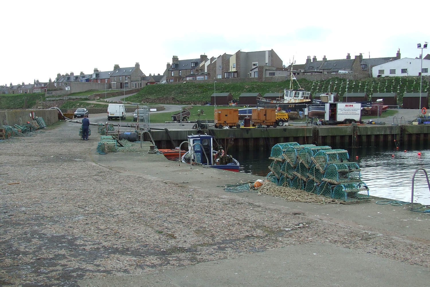
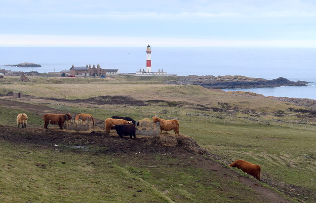
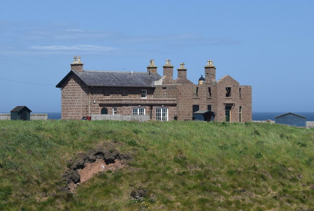
Boddam, Aberdeenshire
Boddam is a coastal village in Aberdeenshire, Scotland. It is 29 miles (47 km) north of Aberdeen and 3 miles (4.8 km) south of Peterhead. The settlement...

Boddam Masonic Hall
Boddam Masonic Hall is an historic building in Boddam, Aberdeenshire, Scotland. It is a Category B listed structure, located a few hundred yards west of...

Brethren Meeting House
Brethren Meeting House is a Category C listed building at 26 Gordon Street in Boddam, Aberdeenshire, Scotland. It was formerly a late-Victorian-era Wesleyan...

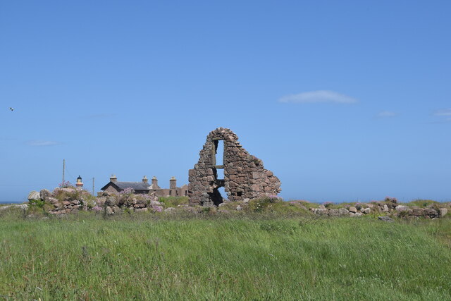
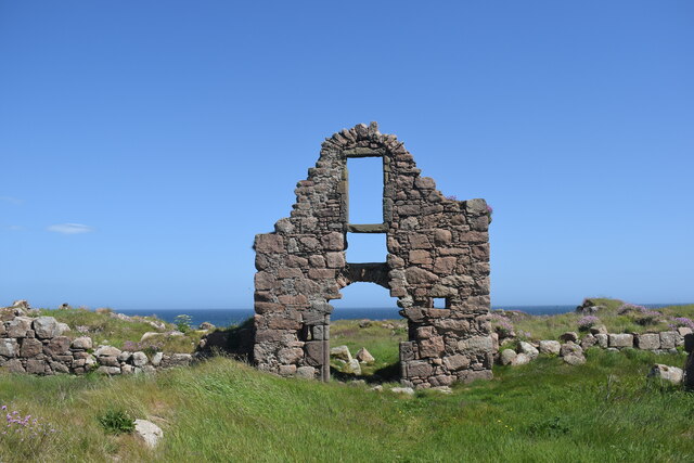
Boddam Castle
Boddam Castle is a ruined castle in Boddam, Aberdeenshire, Scotland. It was thought to have been built in the early 16th century as a seat for the Keiths...
Boddam railway station
Boddam railway station was a railway station in Boddam, Aberdeenshire that served as the terminus of a now closed line from Ellon. == History == The station...

Stirling Village
Stirling Village is a settlement in the Buchan area of Aberdeenshire, Scotland, located on the A90 road immediately to the west of Boddam and 3 miles...
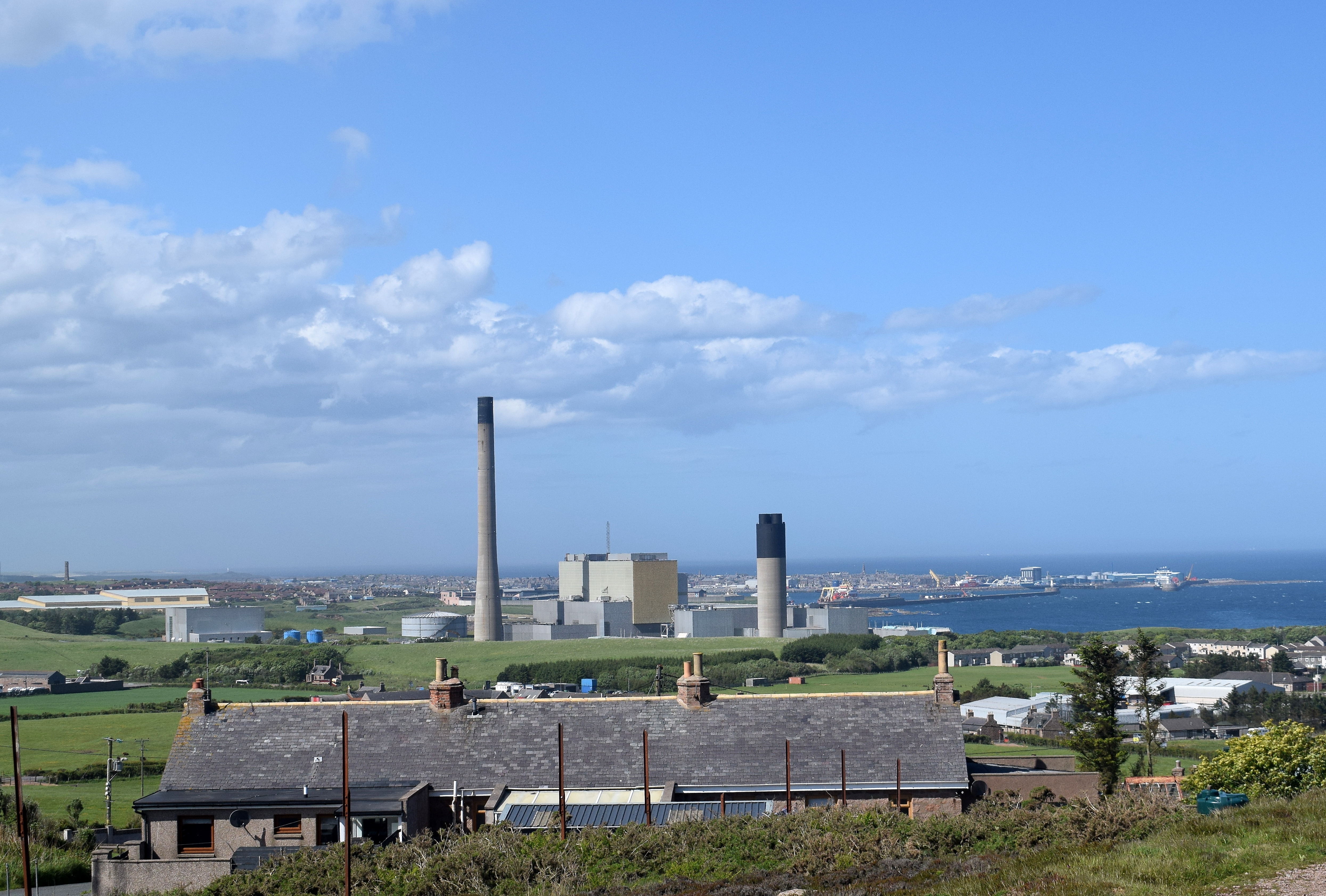
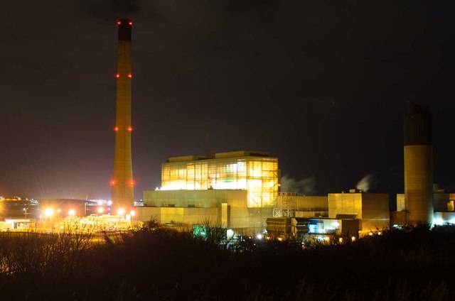
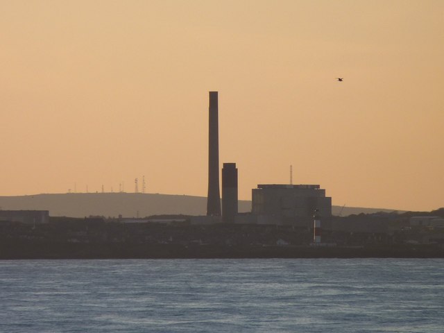
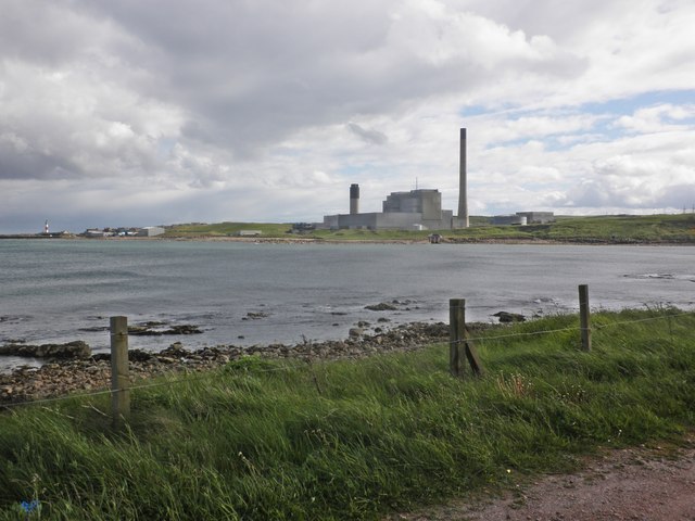
Peterhead Power Station
Peterhead Power Station is a multi-unit station owned and operated by SSE plc, with a capacity of 2,177 MW (1,550 MW transmissible). It is located near...

Sandford Lodge
Sandford Lodge is a Category B listed building in Peterhead, Aberdeenshire, Scotland. A former farmhouse, described by Charles McKean as a "miniature...
Nearby Amenities
Located within 500m of 57.470951,-1.7727766Have you been to Broad Gutter?
Leave your review of Broad Gutter below (or comments, questions and feedback).