Bearpark
Settlement in Durham
England
Bearpark
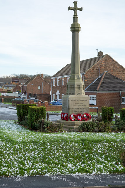
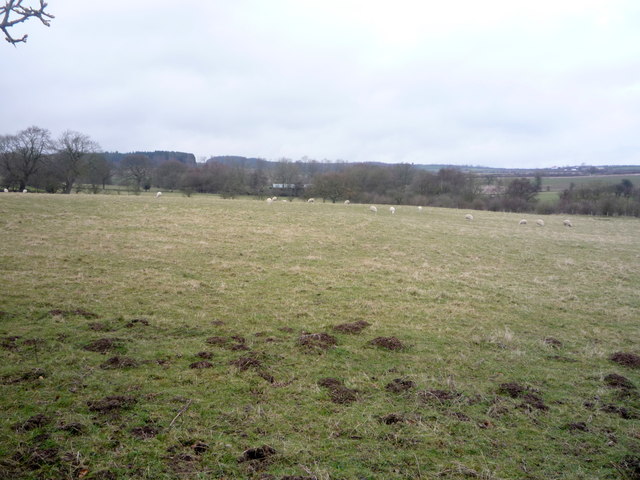
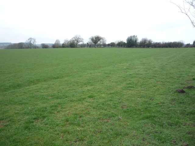
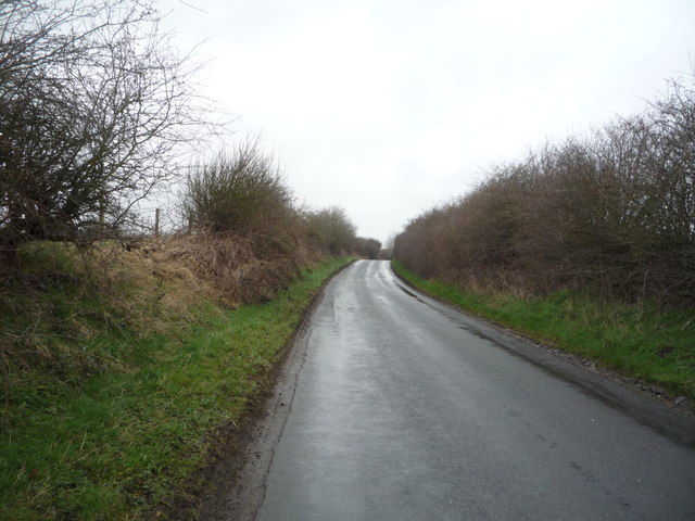
Bearpark is a village located in County Durham, in the northeast of England. Situated about 4 miles northwest of Durham city center, it lies on the southern banks of the River Browney. The village is surrounded by picturesque countryside and is known for its peaceful and rural atmosphere.
Originally an agricultural community, Bearpark saw significant growth during the 19th century due to the establishment of coal mining in the area. The village became a thriving mining community, with several collieries operating in the vicinity. However, the decline of the mining industry in the latter half of the 20th century led to the closure of the mines and subsequent economic challenges for the village.
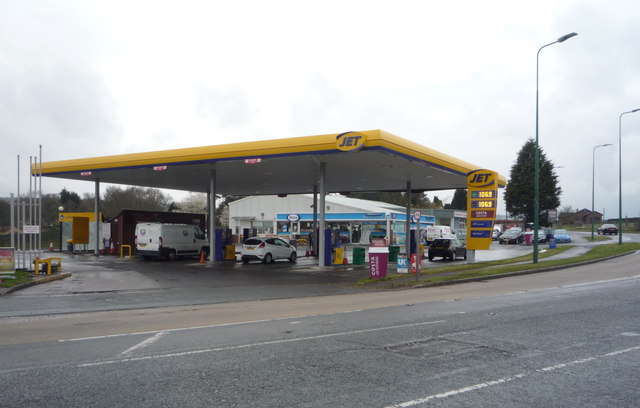
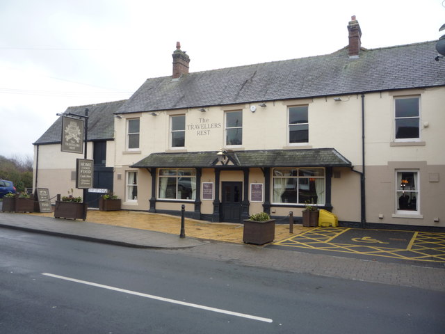
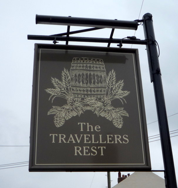
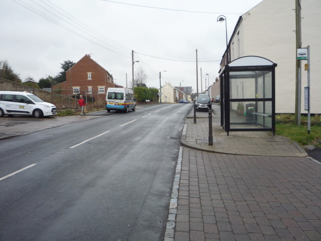
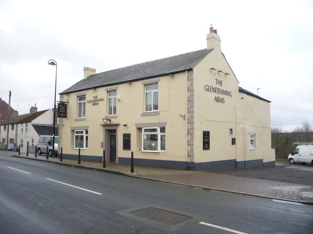
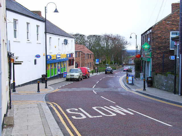
Today, Bearpark is predominantly a residential area, characterized by a mix of older terraced houses and newer developments. The village offers a range of amenities to its residents, including a primary school, a community center, a post office, and a convenience store. There are also several pubs and eateries serving the local community.
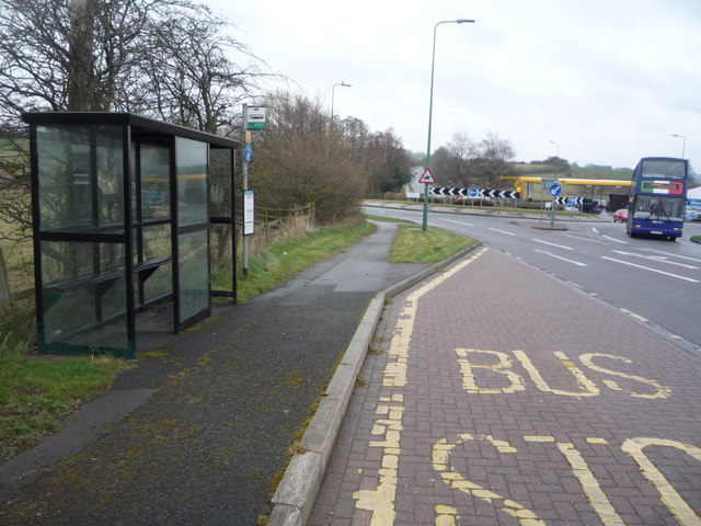
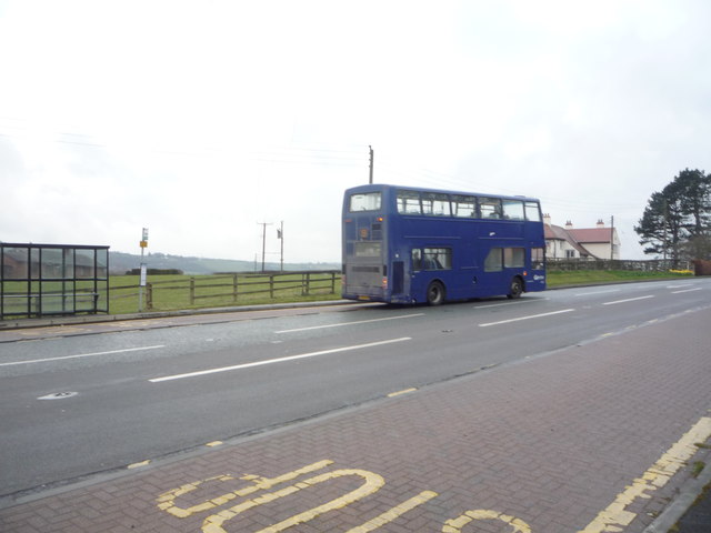
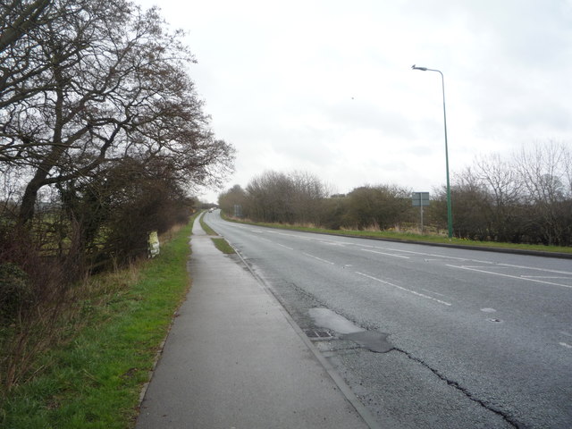
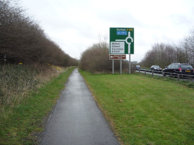
Bearpark benefits from its proximity to Durham, with good transportation links to the city center. The village is well-connected by bus services, providing easy access to the wider region. Additionally, the surrounding countryside offers opportunities for outdoor activities such as walking, cycling, and fishing.
Overall, Bearpark is a quiet village that combines a rich industrial history with a peaceful rural setting, making it an attractive place to reside for those seeking a tranquil lifestyle within easy reach of urban amenities.
If you have any feedback on the listing, please let us know in the comments section below.
Bearpark Images
Images are sourced within 2km of 54.794856/-1.635085 or Grid Reference NZ2344. Thanks to Geograph Open Source API. All images are credited.


Bearpark is located at Grid Ref: NZ2344 (Lat: 54.794856, Lng: -1.635085)
Unitary Authority: County Durham
Police Authority: Durham
What 3 Words
///workbench.fells.abandons. Near Witton Gilbert, Co. Durham
Nearby Locations
Related Wikis
Bearpark
Bearpark is a village and civil parish in County Durham in England. It is situated two and a half miles west of Durham, and a short distance to the north...

Witton Gilbert
Witton Gilbert is a village and civil parish in County Durham, England. == Geography == Witton Gilbert is situated about 3.7 miles (6.0 km) to the north...
Durham Academy, Ushaw Moor
Durham Academy (formerly Durham Community Business College) is a coeducational secondary school located in Ushaw Moor, County Durham, England.The school...

Aldin Grange for Bearpark railway station
Aldin Grange for Bearpark railway station was located on the Lanchester Valley Railway that operated in County Durham, England. The railway station opened...
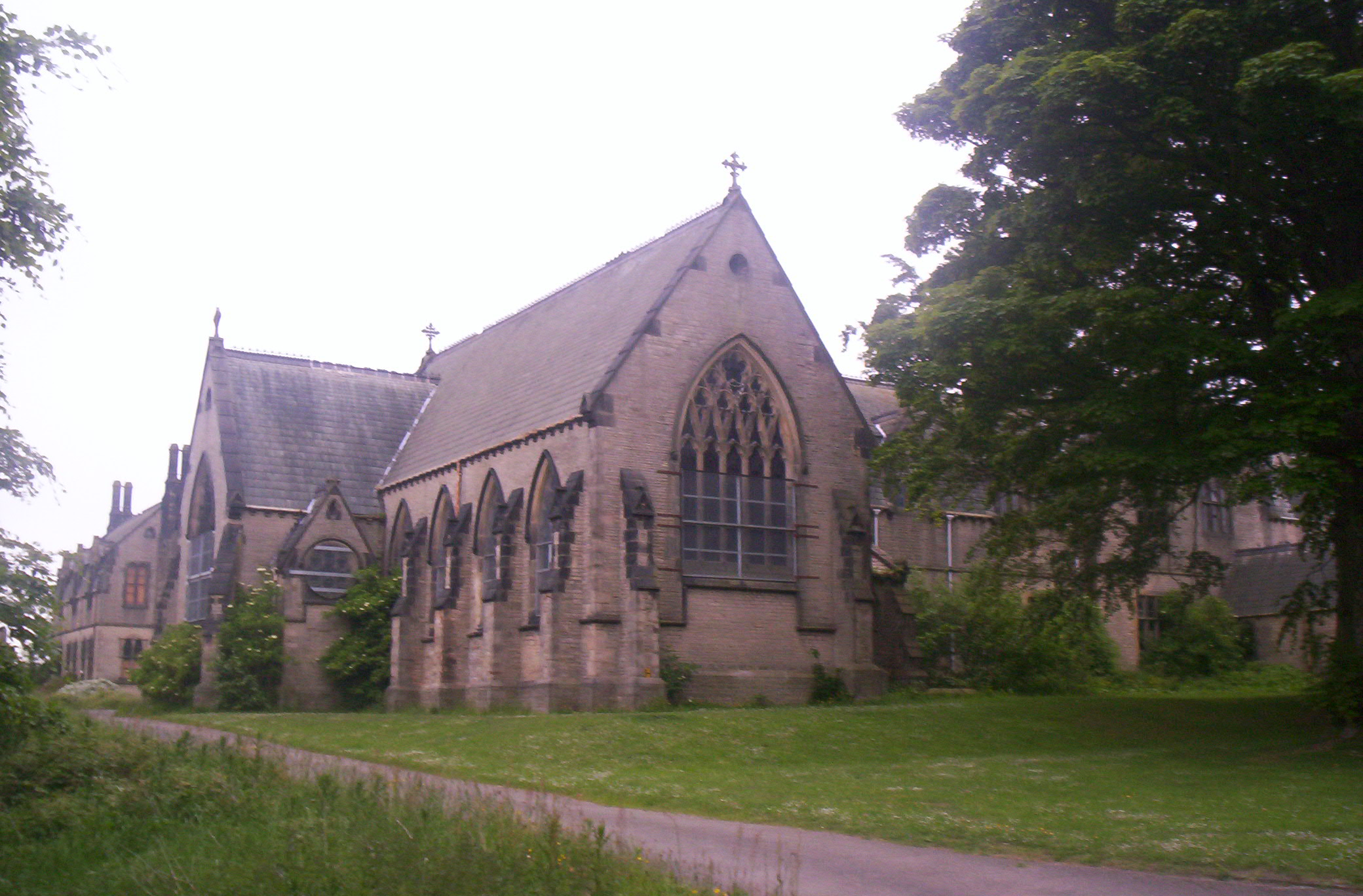
Ushaw College
Ushaw College (formally St Cuthbert's College, Ushaw) is a former Catholic seminary near the village of Ushaw Moor, County Durham, England, which is now...
Witton Gilbert railway station
Witton Gilbert railway station served the village of Witton Gilbert, County Durham, England from 1862 to 1963 on the Lanchester Valley Line. == History... ==

Ushaw Moor
Ushaw Moor is an old pit village in County Durham, in England, on the north side of the River Deerness. It is situated to the west of Durham, a short distance...
Langley Park Wind Farm
Langley Park Wind Farm is a wind farm near Langley Park, County Durham, England. It was developed by EDF Energy and is operated by Cumbria Wind Farms,...
Nearby Amenities
Located within 500m of 54.794856,-1.635085Have you been to Bearpark?
Leave your review of Bearpark below (or comments, questions and feedback).