Black Law
Coastal Feature, Headland, Point in Northumberland
England
Black Law

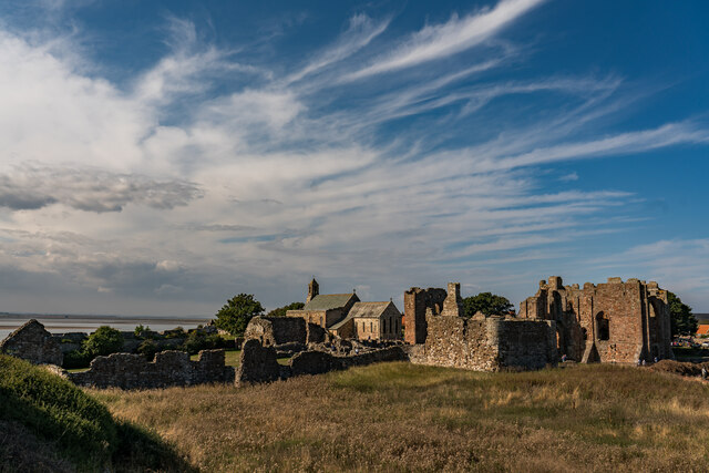
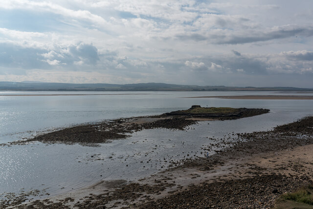
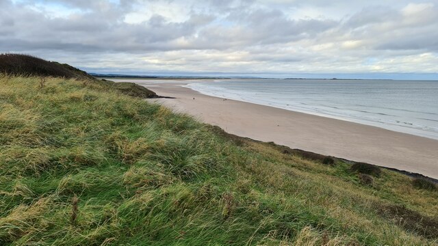
Black Law is a prominent coastal feature located in Northumberland, England. Situated along the picturesque Northumberland coast, it is specifically classified as a headland or point due to its distinct geographical characteristics. The headland juts out into the North Sea, providing a dramatic and commanding presence along the coastline.
Rising to an elevation of approximately 160 meters (525 feet), Black Law offers breathtaking views of the surrounding coastal landscape. Its rugged terrain consists of steep cliffs and rocky outcrops, adding to its natural beauty and allure. The headland is composed primarily of sedimentary rocks, such as sandstone and limestone, which exhibit stunning geological formations.
The area surrounding Black Law is rich in biodiversity, with numerous species of flora and fauna inhabiting the headland. Coastal grasses, wildflowers, and shrubs adorn the cliffs, while seabirds, such as gulls and fulmars, nest on the rocky ledges. The headland also serves as an important habitat for various marine life, including seals and dolphins, which can often be spotted in the waters below.
Black Law is a popular destination for outdoor enthusiasts and nature lovers, who are drawn to its natural beauty and recreational opportunities. Hiking trails and footpaths traverse the headland, allowing visitors to explore its rugged terrain and enjoy the stunning coastal views. The area also attracts photographers and artists, who are inspired by its striking landscapes and unique geological features.
In conclusion, Black Law is a significant headland along the Northumberland coast, offering visitors a glimpse into the region's natural beauty and geological wonders. Its commanding presence, diverse wildlife, and stunning vistas make it a must-visit destination for those seeking an authentic coastal experience.
If you have any feedback on the listing, please let us know in the comments section below.
Black Law Images
Images are sourced within 2km of 55.661436/-1.7933256 or Grid Reference NU1340. Thanks to Geograph Open Source API. All images are credited.


Black Law is located at Grid Ref: NU1340 (Lat: 55.661436, Lng: -1.7933256)
Unitary Authority: Northumberland
Police Authority: Northumbria
What 3 Words
///broadens.pickle.putts. Near Belford, Northumberland
Nearby Locations
Related Wikis
Holy Island War Memorial
Holy Island War Memorial, or Lindisfarne War Memorial, is a First World War memorial on the tidal island of Lindisfarne (or Holy Island) off the coast...
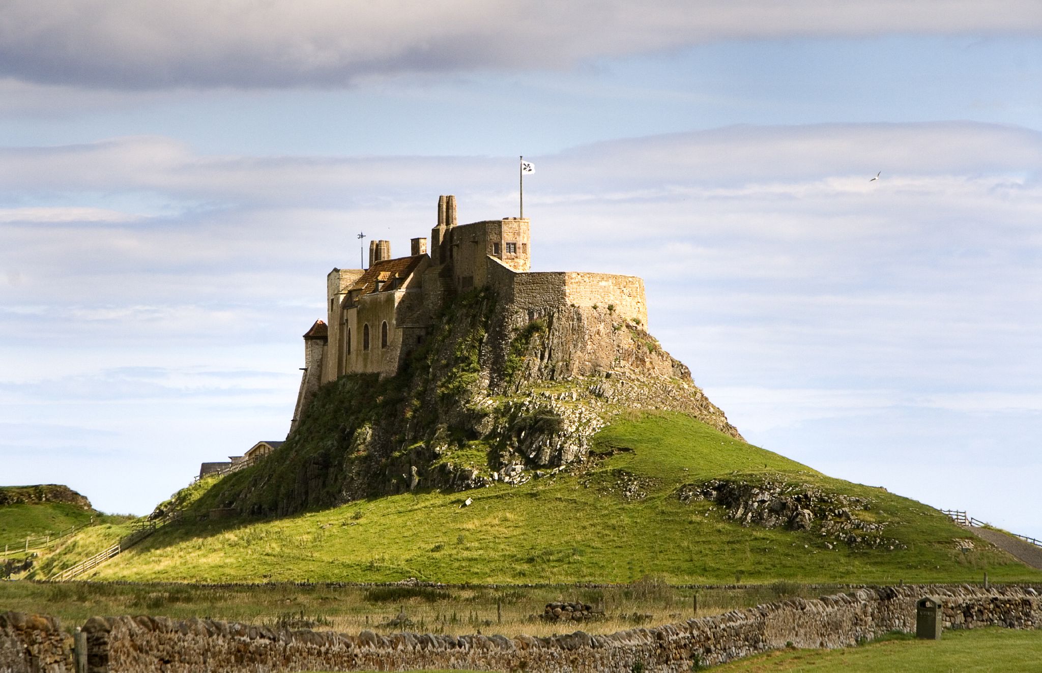
Lindisfarne Castle
Lindisfarne Castle is a 16th-century castle located on Holy Island, near Berwick-upon-Tweed, Northumberland, England, much altered by Sir Edwin Lutyens...
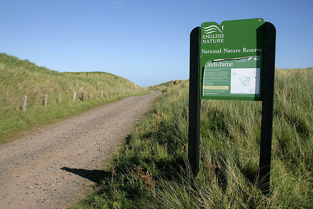
Lindisfarne National Nature Reserve
Lindisfarne National Nature Reserve is a 3,541-hectare (8,750-acre) UK national nature reserve. It was founded to help safeguard the internationally important...

Lindisfarne
Lindisfarne, also called Holy Island, and the Holy Island of Lindisfarne, is a tidal island off the northeast coast of England, which constitutes the civil...

Holy Island Waggonway
The Holy Island Waggonway (sometimes referred to as the Holy Island Tramway) was a network of waggonways across the island of Lindisfarne, Northumberland...

Islandshire
Islandshire was an area of Northumberland, England, comprising Lindisfarne or Holy Island, plus five parishes on the mainland. It is historically associated...
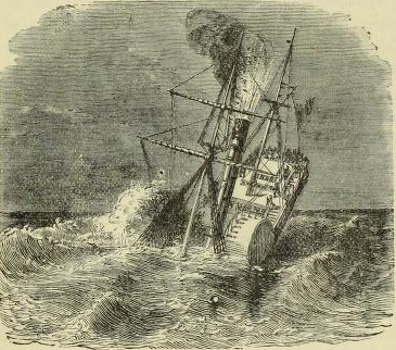
PS Pegasus (1835)
PS Pegasus, was a sea-going paddle steamer launched in Glasgow, Scotland, in December 1836. The ship was owned by the Hull & Leith Steam Packet Company...

Smeafield railway station
Smeafield railway station served the farmstead of Smeafield, Northumberland, England from 1871 to 1930 on the East Coast Main Line. == History == The station...
Nearby Amenities
Located within 500m of 55.661436,-1.7933256Have you been to Black Law?
Leave your review of Black Law below (or comments, questions and feedback).