Girdle Ness
Coastal Feature, Headland, Point in Kincardineshire
Scotland
Girdle Ness

Girdle Ness is a prominent coastal feature located in Kincardineshire, Scotland. It is a headland that extends into the North Sea, forming a distinctive point along the coastline. The name "Girdle Ness" is derived from the Scottish word "girdle," meaning a belt or band, which aptly describes the shape of this land formation.
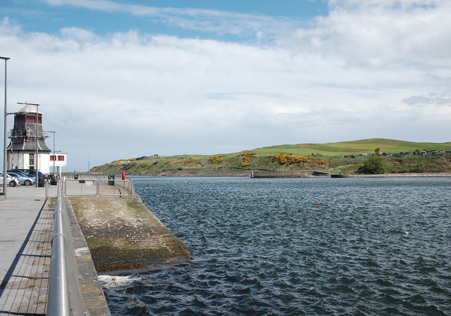
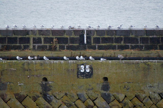
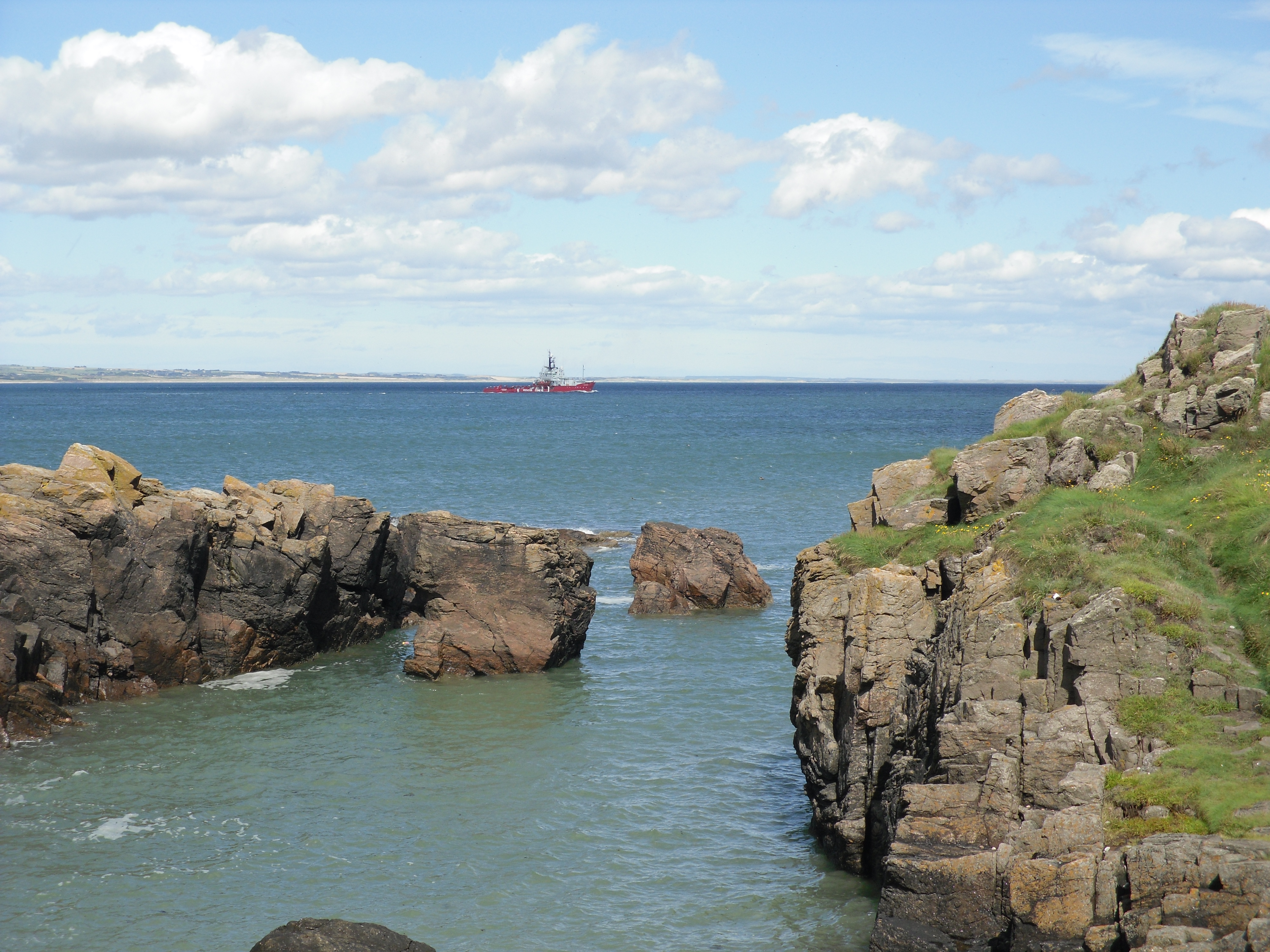
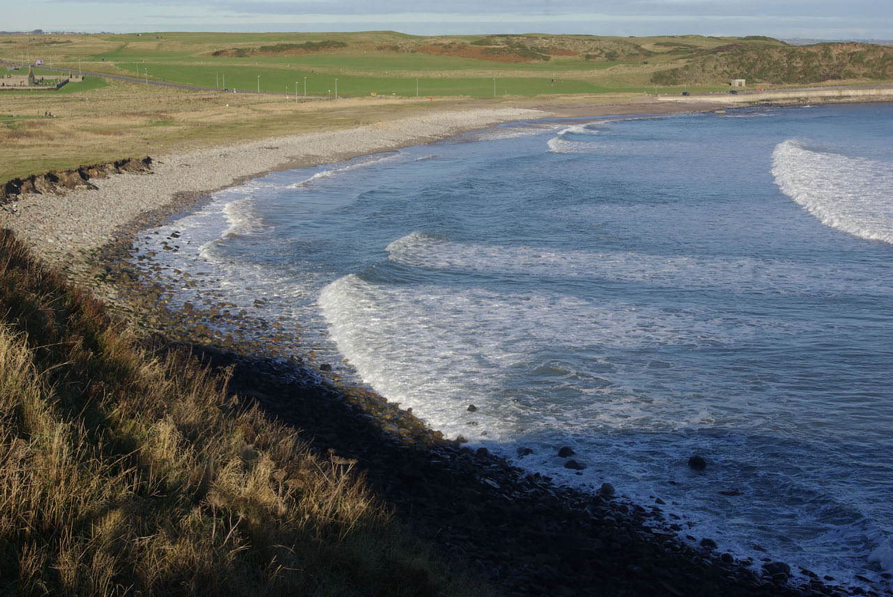
Situated near the mouth of the River Dee, Girdle Ness offers stunning panoramic views of the surrounding area. It boasts rugged cliffs and rocky outcrops, which provide a habitat for various bird species, including gulls, fulmars, and cormorants. Birdwatchers often flock to this area to observe the diverse avian population that calls Girdle Ness home.
The headland is also known for its historical significance. At the tip of Girdle Ness stands the Girdleness Lighthouse, which was built in 1833 and is still operational today. This iconic landmark serves as a navigational aid for ships entering the busy port of Aberdeen. The lighthouse is a distinctive white tower with a red band in the middle, making it easily recognizable from a distance.
Girdle Ness attracts visitors who enjoy coastal walks, photography, and exploring the rich natural and historical heritage of the region. The headland is easily accessible, with a well-maintained footpath that leads visitors along the cliff edge, offering breathtaking vistas of the sea and the coastline. It is a popular spot for locals and tourists alike, offering a peaceful and picturesque setting to escape the hustle and bustle of everyday life.
If you have any feedback on the listing, please let us know in the comments section below.
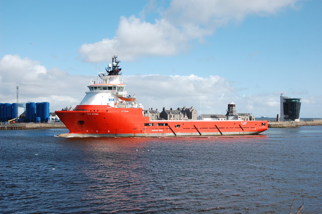
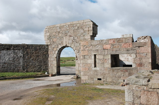
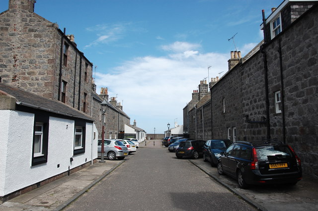
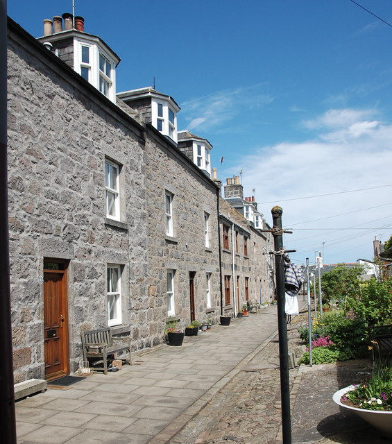
Girdle Ness Images
Images are sourced within 2km of 57.138883/-2.0452382 or Grid Reference NJ9705. Thanks to Geograph Open Source API. All images are credited.


Girdle Ness is located at Grid Ref: NJ9705 (Lat: 57.138883, Lng: -2.0452382)
Unitary Authority: City of Aberdeen
Police Authority: North East
What 3 Words
///video.crunch.zones. Near Aberdeen
Nearby Locations
Related Wikis
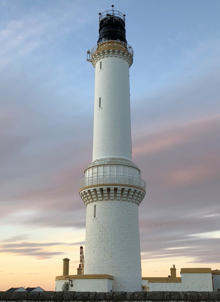
Girdle Ness Lighthouse
Girdle Ness Lighthouse (or Girdleness Lighthouse) is situated near Torry Battery on the Girdle Ness peninsula just south of the entrance to Aberdeen's...
Greyhope Bay
Greyhope Bay is a bay in the city of Aberdeen in Scotland, near the entrance to Aberdeen Harbour. It is the site of Torry Battery. In 1813, Greyhope Bay...

Sinking of the Oscar
The Oscar was a whaling ship that was wrecked near Aberdeen, Scotland, on 1 April 1813. It was so close to the shore that families helplessly watched the...
Nigg Bay, Aberdeen
Nigg Bay is a cove to the east of Aberdeen, between Girdle Ness and Greg Ness, in the old parish of Nigg. In 2017, work began to develop the bay into a...
Nearby Amenities
Located within 500m of 57.138883,-2.0452382Have you been to Girdle Ness?
Leave your review of Girdle Ness below (or comments, questions and feedback).