Boscaswell, Lower
Settlement in Cornwall
England
Boscaswell, Lower

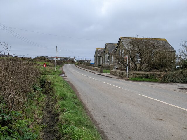
Boscaswell is a small village located in the western part of Cornwall, England. Situated in the civil parish of St Just, Boscaswell is part of the Penwith district. It lies approximately 4 miles northwest of Penzance and 5 miles west of St Ives.
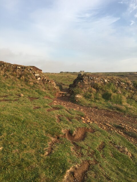
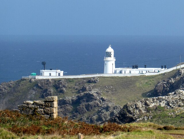
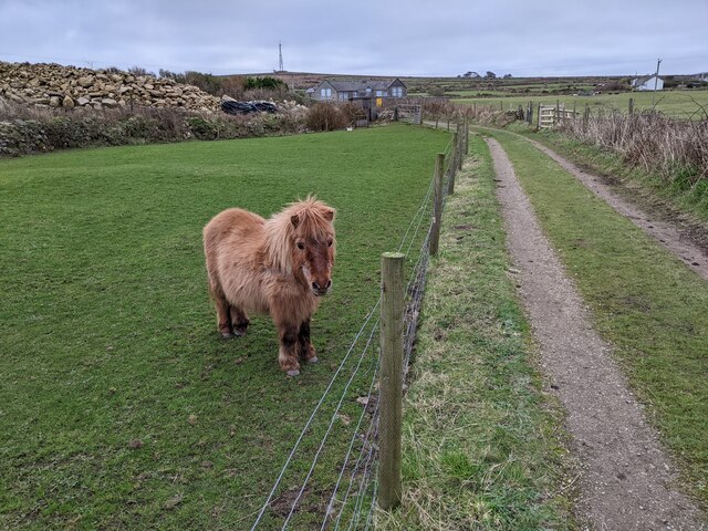
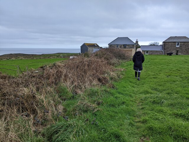
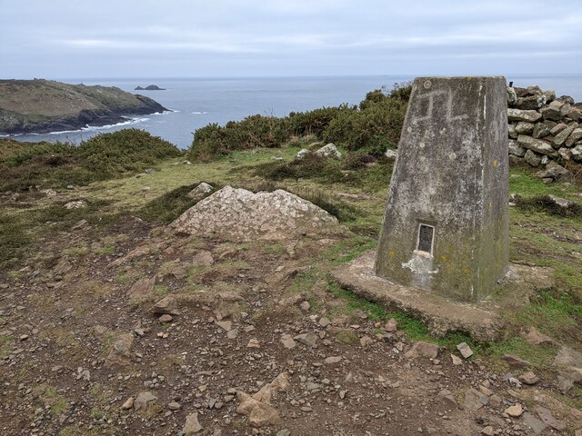
The village is surrounded by rolling hills and beautiful countryside, offering picturesque views to its residents and visitors. Boscaswell is known for its close proximity to the Cornish coast, with the Atlantic Ocean just a short distance away. This makes it an ideal location for those who enjoy outdoor activities like hiking, fishing, and beachcombing.
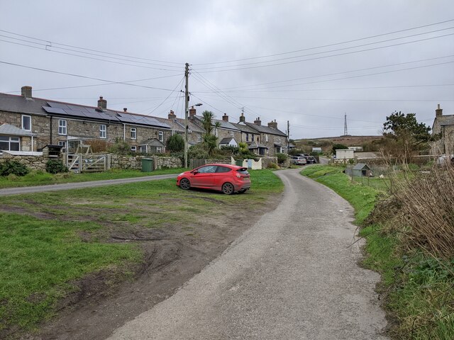
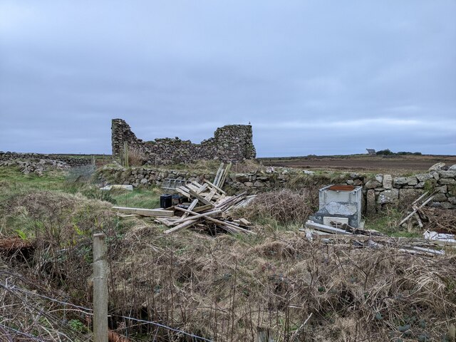
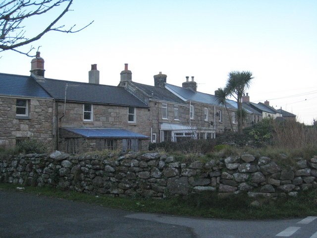
The village itself is a traditional Cornish settlement, with a mix of charming stone cottages and newer residential properties. The community is relatively small, with a population of around 500 people. Boscaswell has a close-knit community feel, and residents take pride in maintaining the village's character and heritage.
Although Boscaswell is a small village, it offers a few amenities to its residents. There is a local pub, The Crown Inn, which serves traditional pub food and is a popular gathering spot for locals. Additionally, there is a small convenience store that caters to the daily needs of the community.
Overall, Boscaswell is a quiet and idyllic village that offers a peaceful and scenic lifestyle for its residents, while also being conveniently located near the coast and larger towns in Cornwall.
If you have any feedback on the listing, please let us know in the comments section below.
Boscaswell, Lower Images
Images are sourced within 2km of 50.153268/-5.672052 or Grid Reference SW3734. Thanks to Geograph Open Source API. All images are credited.


Boscaswell, Lower is located at Grid Ref: SW3734 (Lat: 50.153268, Lng: -5.672052)
Unitary Authority: Cornwall
Police Authority: Devon and Cornwall
What 3 Words
///human.cupcake.haggling. Near St Just, Cornwall
Related Wikis

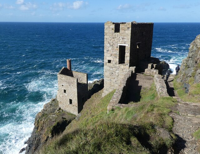
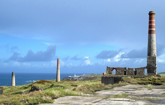
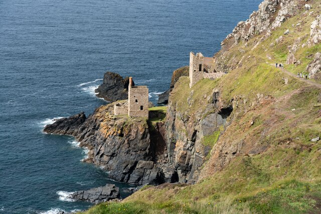
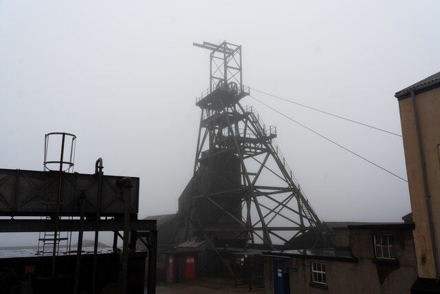
Geevor Tin Mine
Geevor Tin Mine (from Cornish: Whel an Gever, meaning "mine of the goats"), formerly North Levant Mine is a tin mine in the far west of Cornwall, England...

Boscaswell
Boscaswell (Cornish: Boscaswal) is a village in the extreme west of Cornwall, England, UK. It lies towards the cliffs from Pendeen, looking west across...
Lower Boscaswell
Lower Boscaswell is a hamlet near Pendeen in Cornwall, England.Lower Boscaswell lies within the Cornwall Area of Outstanding Natural Beauty (AONB). �...

Higher Boscaswell
Higher Boscaswell is a hamlet near Pendeen in west Cornwall, England. It is east of Pendeen and on the B road from St Ives to St Just. Higher Boscaswell...
Nearby Amenities
Located within 500m of 50.153268,-5.672052Have you been to Boscaswell, Lower?
Leave your review of Boscaswell, Lower below (or comments, questions and feedback).