Bonabrik
Coastal Feature, Headland, Point in Shetland
Scotland
Bonabrik
Bonabrik is a prominent coastal feature located in the Shetland Islands, an archipelago in Scotland. It is a headland or point that juts out into the North Sea, offering breathtaking views of the surrounding waters and rugged coastline.
Situated at approximately 60 degrees north latitude and 1 degree west longitude, Bonabrik is known for its dramatic cliffs that rise steeply from the sea. These cliffs are composed of ancient rock formations, providing a glimpse into the geological history of the area.
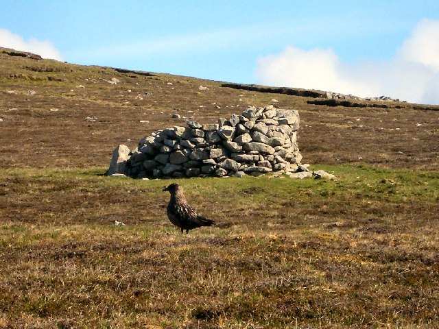
The headland is characterized by its wild and untamed beauty, with strong winds often sweeping across the exposed landscape. Vegetation on Bonabrik is sparse, primarily consisting of hardy grasses and shrubs that can withstand the harsh coastal conditions.
The area surrounding Bonabrik is a haven for various bird species, making it a popular spot for birdwatching. Visitors can spot seabirds such as puffins, guillemots, and razorbills nesting on the cliffs during the breeding season. Seals can also be spotted in the waters surrounding the headland.
Bonabrik is easily accessible by foot, with a well-maintained coastal path that leads to the point. The path offers stunning views of the coastline and an opportunity to observe the unique flora and fauna of the area.
Overall, Bonabrik is a captivating coastal feature that showcases the natural beauty and ruggedness of the Shetland Islands. Its striking cliffs, diverse wildlife, and panoramic views make it a must-visit destination for nature enthusiasts and those seeking a true coastal experience.
If you have any feedback on the listing, please let us know in the comments section below.
Bonabrik Images
Images are sourced within 2km of 60.110112/-2.0638062 or Grid Reference HT9636. Thanks to Geograph Open Source API. All images are credited.


![The Noup [Da Noup] First hill of the day with Tricky Speirs after a flight from Tingwall. View towards a cloud covered The Sneug [Da Sneug].
Name: The Noup [Da Noup]
Hill number: 1536
Height: 248m / 814ft
Area: 22: Shetland Islands
Class: Ma
Grid ref: HT 95445 37514
Summit feature: no feature: grass
Drop: 179m
Col: 69m HT951380](https://s3.geograph.org.uk/geophotos/03/50/73/3507331_6daae61d.jpg)


Bonabrik is located at Grid Ref: HT9636 (Lat: 60.110112, Lng: -2.0638062)
Unitary Authority: Shetland Islands
Police Authority: Highlands and Islands
What 3 Words
///spout.illogical.powering. Near Walls, Shetland Islands
Nearby Locations
Related Wikis

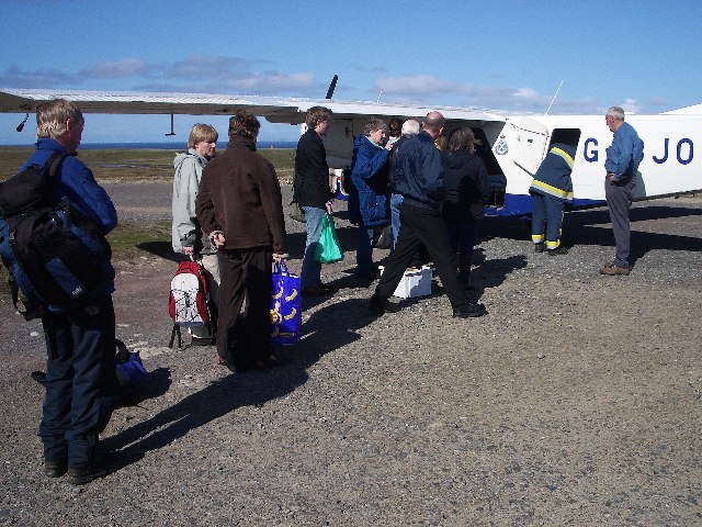
Foula Airfield
Foula Airfield (IATA: FOA) is an airfield located on the remote island of Foula, part of the Shetland Islands in the north of Scotland. == History == The...

Foula
Foula (), located in the Shetland archipelago of Scotland, is one of the United Kingdom's most remote permanently inhabited islands. Owned since the turn...

RMS Oceanic (1899)
Oceanic was a transatlantic ocean liner built for the White Star Line. She sailed on her maiden voyage on 6 September 1899 and was the largest ship in...
Nearby Amenities
Located within 500m of 60.110112,-2.0638062Have you been to Bonabrik?
Leave your review of Bonabrik below (or comments, questions and feedback).