Hawks' Ness
Coastal Feature, Headland, Point in Berwickshire
Scotland
Hawks' Ness
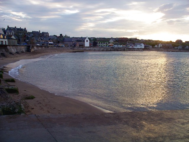
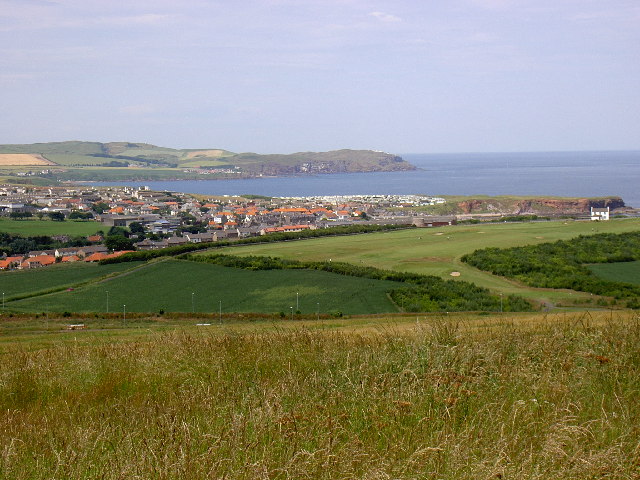
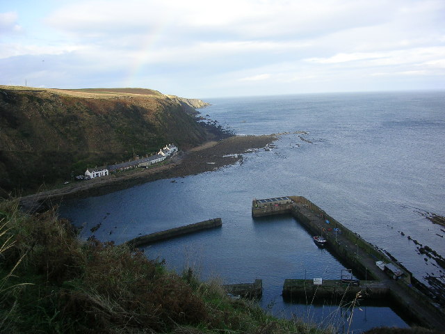
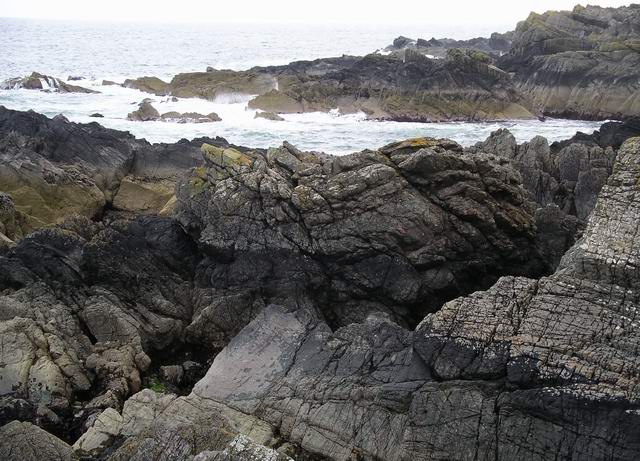
Hawks' Ness is a prominent coastal feature located in Berwickshire, Scotland. It is a stunning headland that extends into the North Sea, forming a distinct point along the coastline. This natural formation is known for its rugged beauty and provides breathtaking views of the surrounding landscape.
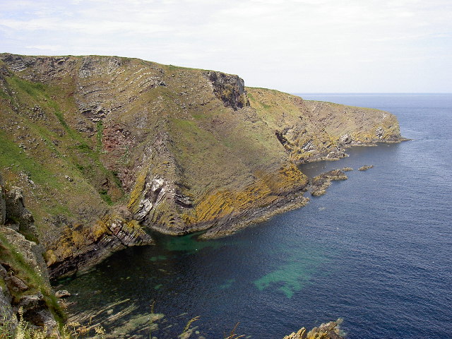
The headland of Hawks' Ness is characterized by its rocky cliffs and steep slopes, which have been shaped over thousands of years by the relentless pounding of the waves. These cliffs reach heights of up to 30 meters and are composed of layers of sedimentary rock, creating an interesting geological display.
The point itself juts out into the sea, offering a vantage point to observe the powerful forces of nature at play. Visitors to Hawks' Ness can witness the crashing waves, experience the strong sea breezes, and marvel at the diverse marine life that inhabits the surrounding waters.
The headland is also a haven for wildlife enthusiasts, as it provides a habitat for various bird species, including puffins, guillemots, and cormorants. The cliffs and rock formations offer nesting sites and protection for these seabirds, making Hawks' Ness an important conservation area.
Access to Hawks' Ness is available via a public footpath that winds along the coastline, providing visitors with a chance to explore the area's natural beauty. The headland is a popular spot for hiking and photography, attracting both locals and tourists who seek to immerse themselves in the stunning coastal scenery.
Overall, Hawks' Ness in Berwickshire is a captivating coastal feature that offers a unique blend of natural beauty, geological interest, and wildlife conservation. It is a must-visit destination for anyone seeking an unforgettable experience along Scotland's picturesque coastline.
If you have any feedback on the listing, please let us know in the comments section below.
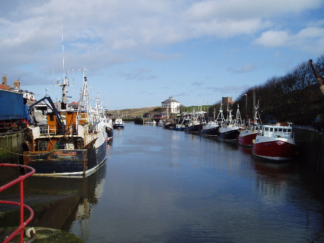
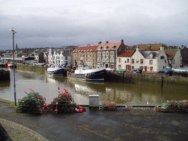
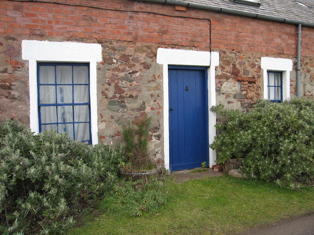
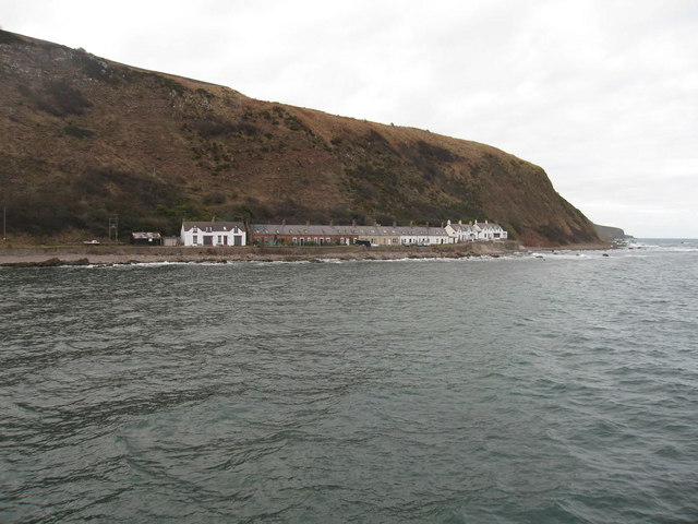
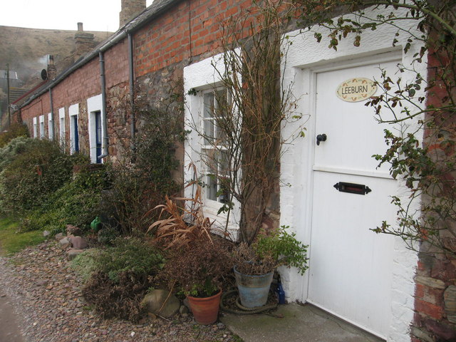
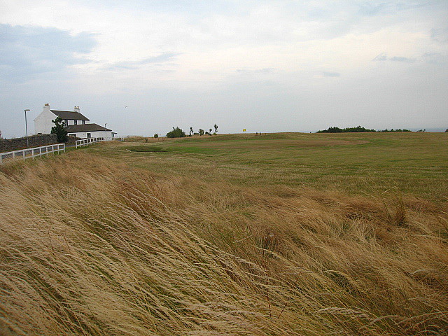
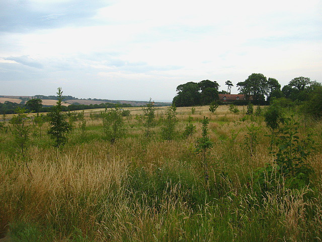
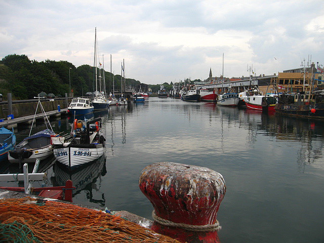
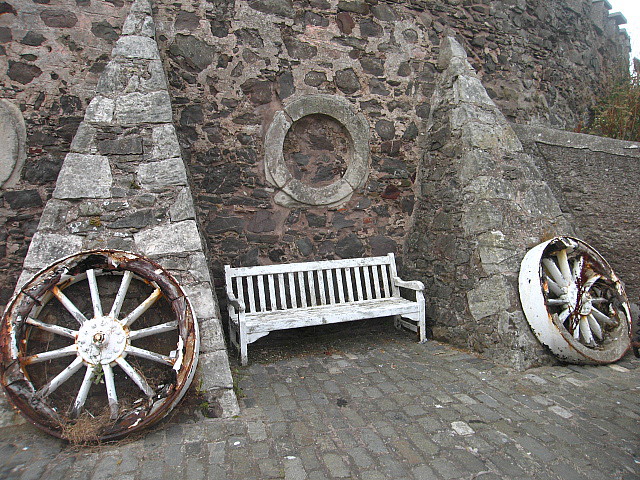
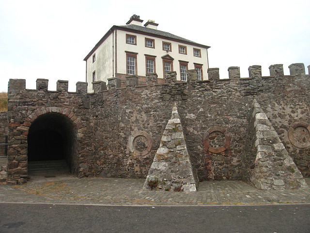
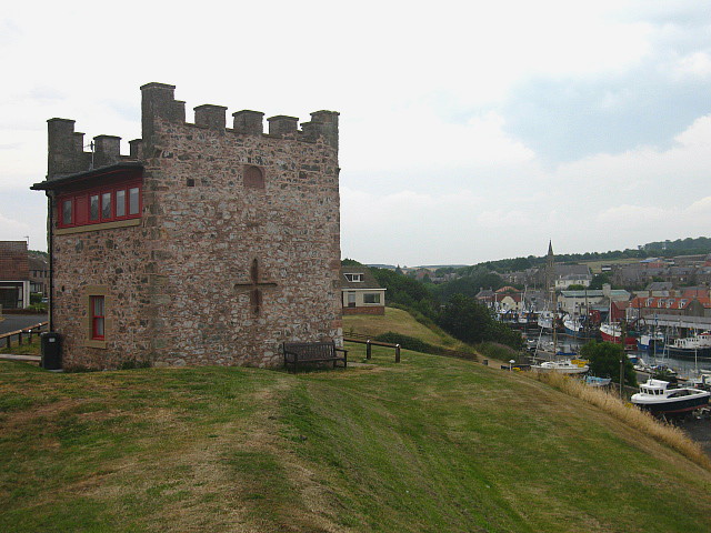
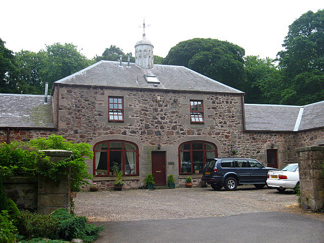
Hawks' Ness Images
Images are sourced within 2km of 55.859779/-2.073958 or Grid Reference NT9562. Thanks to Geograph Open Source API. All images are credited.
Hawks' Ness is located at Grid Ref: NT9562 (Lat: 55.859779, Lng: -2.073958)
Unitary Authority: The Scottish Borders
Police Authority: The Lothians and Scottish Borders
What 3 Words
///motor.symphony.inspected. Near Eyemouth, Scottish Borders
Nearby Locations
Related Wikis

Eye Water
Eye Water is a river in the Scottish Borders, it flows in a general southeasterly direction from its source in the Lammermuir Hills to its estuary at Eyemouth...

Eyemouth railway station
Eyemouth railway station served the village of Eyemouth, Scottish Borders, Scotland from 1891 to 1962 on the Eyemouth Railway. == History == The station...

Eyemouth disaster
The Eyemouth disaster was a severe European windstorm that struck the south-eastern coast of Scotland on 14 October 1881. One hundred and eighty-nine fishermen...
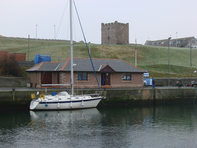
Eyemouth Lifeboat Station
Eyemouth Lifeboat Station is a Royal National Lifeboat Institution (RNLI) marine-rescue facility in Eyemouth, Berwickshire, Scotland. The station was founded...

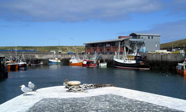
Eyemouth
Eyemouth (Scots: Heymooth) is a small town and civil parish in Berwickshire, in the Scottish Borders area of Scotland. It is two miles (three kilometres...

Burnmouth railway station
Burnmouth railway station served the village of Burnmouth, Ayton, Scotland from 1848 to 1962 on the East Coast Main Line. == History == There is some confusion...
Burnmouth
Burnmouth is a small fishing village located adjacent to the A1 road on the east coast of Scotland. It is the first village in Scotland on the A1, after...
Hurkar Rocks
The Hurkar Rocks are a group of rocks outside the harbour of Eyemouth in the Scottish Borders area of Scotland. The rocks become exposed during low tide...
Nearby Amenities
Located within 500m of 55.859779,-2.073958Have you been to Hawks' Ness?
Leave your review of Hawks' Ness below (or comments, questions and feedback).