Jonah's Rock
Coastal Feature, Headland, Point in Berwickshire
Scotland
Jonah's Rock

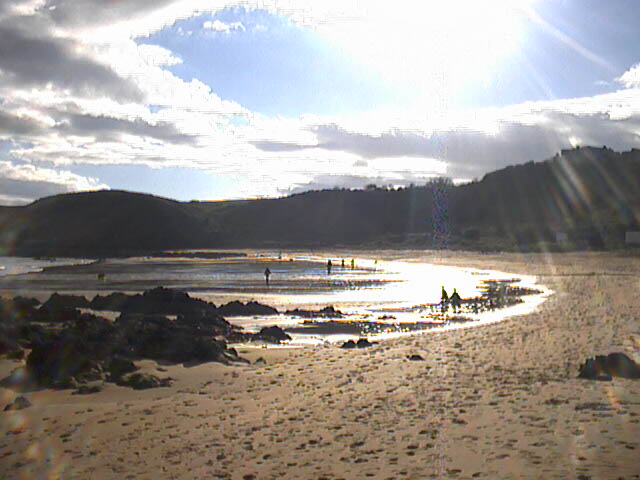
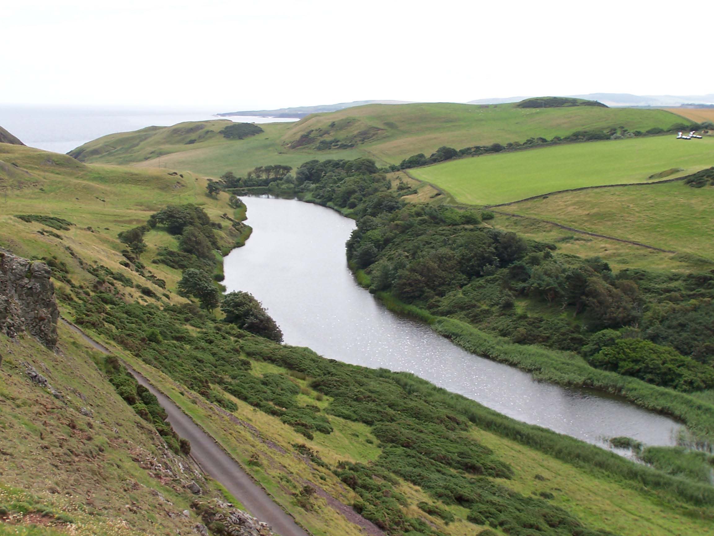
Jonah's Rock is a prominent coastal feature located in Berwickshire, Scotland. Situated on the southeastern coast of the country, it is a headland that juts out into the North Sea. The rock derives its name from the biblical tale of Jonah being swallowed and later released by a large fish.
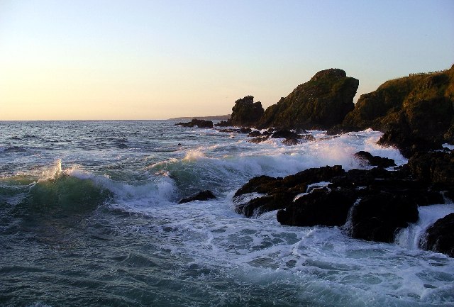
This headland is characterized by its rugged and picturesque landscape, boasting towering cliffs and stunning panoramic views of the surrounding area. The rock itself is a prominent landmark, rising majestically from the sea and serving as a focal point for the local community and visitors alike.
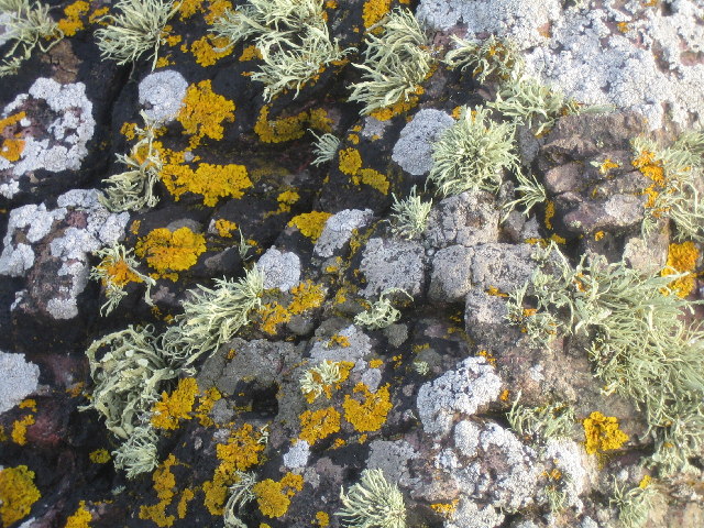
The geological composition of Jonah's Rock is primarily made up of sedimentary rocks, with layers of sandstone and shale visible along its cliffs. These rocks bear witness to the area's ancient history and offer fascinating insights into the geological processes that have shaped the landscape over millions of years.
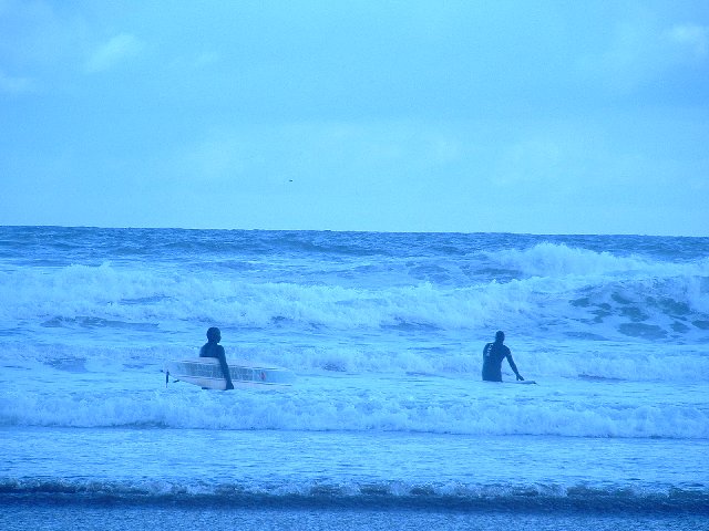
The headland is a popular destination for nature enthusiasts, hikers, and birdwatchers. Its cliffs provide a nesting site for various seabirds, including guillemots, puffins, and razorbills, making it an ideal spot for birdwatching enthusiasts. Additionally, the surrounding coastal waters are home to diverse marine life, with seals often seen basking on nearby rocks.
Access to Jonah's Rock is possible via a well-maintained coastal path, which offers breathtaking views of the coastline. Visitors can also explore the adjacent sandy beaches and enjoy activities such as rock pooling, beachcombing, and picnicking.
Overall, Jonah's Rock is a captivating coastal feature that combines natural beauty, geological significance, and wildlife diversity, making it a must-visit destination for nature lovers and outdoor enthusiasts.
If you have any feedback on the listing, please let us know in the comments section below.
Jonah's Rock Images
Images are sourced within 2km of 55.900687/-2.1285384 or Grid Reference NT9267. Thanks to Geograph Open Source API. All images are credited.


Jonah's Rock is located at Grid Ref: NT9267 (Lat: 55.900687, Lng: -2.1285384)
Unitary Authority: The Scottish Borders
Police Authority: The Lothians and Scottish Borders
What 3 Words
///mimes.buzzards.pampered. Near Eyemouth, Scottish Borders
Nearby Locations
Related Wikis

St. Abbs and Eyemouth Voluntary Marine Reserve
St. Abbs and Eyemouth Voluntary Marine Reserve is a Voluntary Marine Reserve—the first established in the United Kingdom. Located in the Scottish Borders...

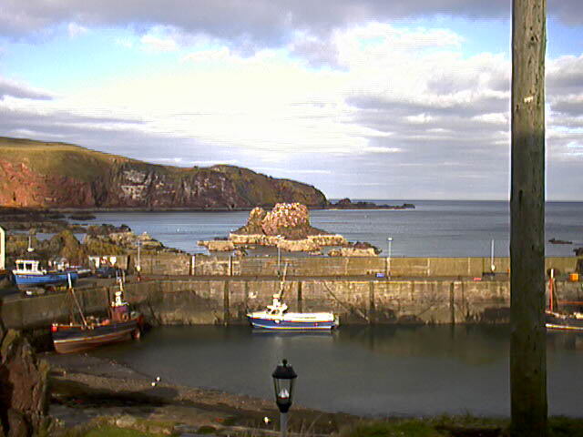
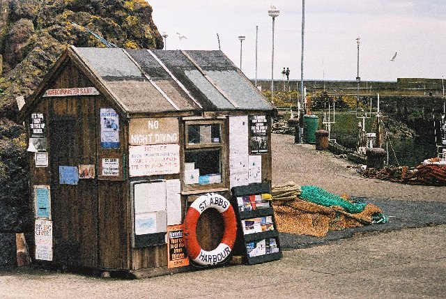
St Abbs Lifeboat Station
St Abbs Lifeboat is an independent marine-rescue facility in St Abbs, Berwickshire, Scotland. == Independent lifeboat == St Abbs Lifeboat is run as an...
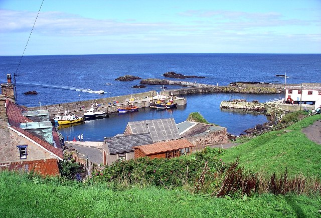
St Abbs
St Abbs is a small fishing village on the southeastern coast of Scotland, within the Coldingham parish of Scottish Borders. The village was originally...
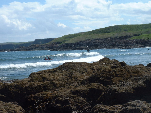
Coldingham Bay
Coldingham Bay is an inlet in the North Sea coast, just over three kilometres north of the town of Eyemouth in the Scottish Borders area of Scotland. It...
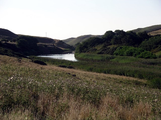
Mire Loch
Mire Loch is a man made freshwater loch situated on St Abb's Head in the Scottish Borders, just over a kilometre NW of the village of St. Abbs at grid...

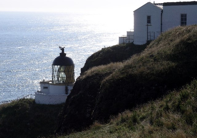
St Abb's Head Lighthouse
St Abb's Head Lighthouse stands on the cliffs at the rocky promontory of St Abb's Head, near the village of St Abbs in Berwickshire. A signal station was...

St Abb's Head
St Abb's Head is a rocky promontory by the village of St Abbs in Scottish Borders, Scotland, and a national nature reserve administered by the National...
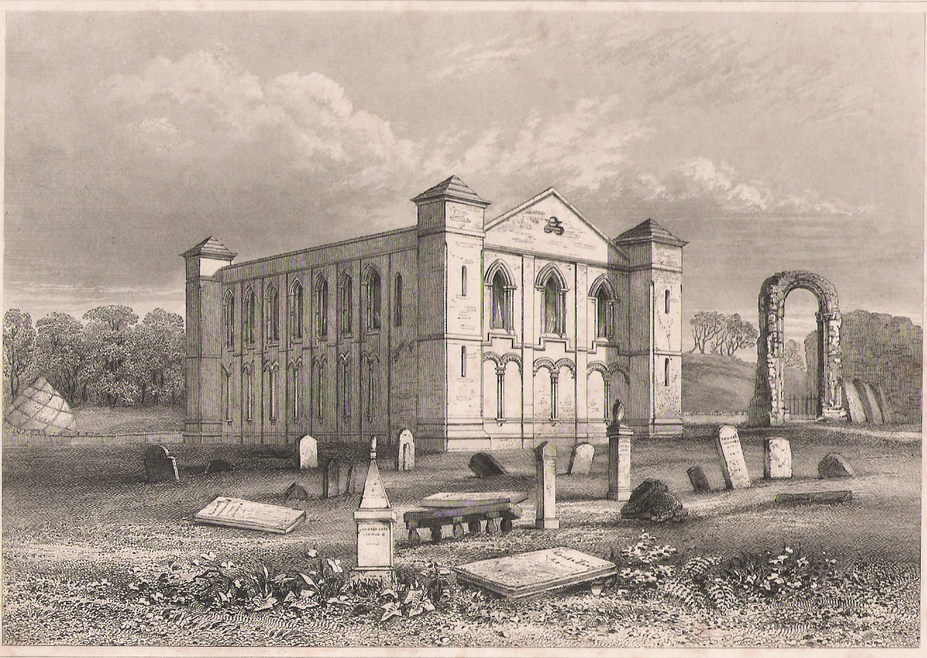
Coldingham Priory
Coldingham Priory was a house of Benedictine monks. It lies on the south-east coast of Scotland, in the village of Coldingham, Berwickshire. Coldingham...
Nearby Amenities
Located within 500m of 55.900687,-2.1285384Have you been to Jonah's Rock?
Leave your review of Jonah's Rock below (or comments, questions and feedback).