Beare Green
Settlement in Surrey Mole Valley
England
Beare Green
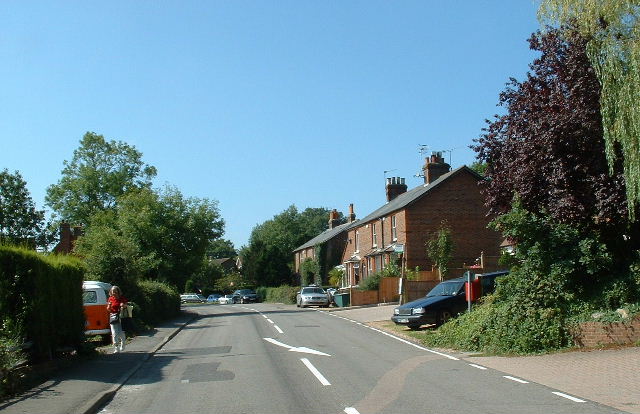
Beare Green is a small village located in the district of Mole Valley in Surrey, England. Situated approximately 25 miles south of London, it is nestled in the beautiful countryside of the North Downs.
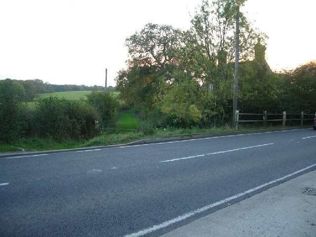
The village is surrounded by picturesque landscapes, including fields, woodlands, and rolling hills. It offers a tranquil and peaceful setting for residents and visitors alike, with plenty of opportunities for outdoor activities such as hiking, cycling, and horse riding.
Despite its rural setting, Beare Green is well-connected to nearby towns and cities. The village is situated just off the A24 road, which provides easy access to Dorking, Horsham, and Gatwick Airport. Additionally, the nearby train stations of Holmwood and Dorking Deepdene offer regular services to London and other major destinations.
In terms of amenities, Beare Green has a few local shops and services, including a convenience store, a post office, and a pub. For further amenities, residents can easily access the nearby towns of Dorking and Horsham, which offer a wider range of shops, restaurants, and entertainment options.
The village is also home to a primary school, providing education for the local children. For secondary education, students typically travel to nearby towns.
Overall, Beare Green offers a charming countryside setting with convenient access to amenities and transport links. It is an idyllic place for those seeking a peaceful retreat while still being within reach of larger urban areas.
If you have any feedback on the listing, please let us know in the comments section below.
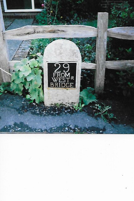
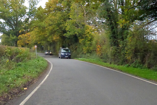
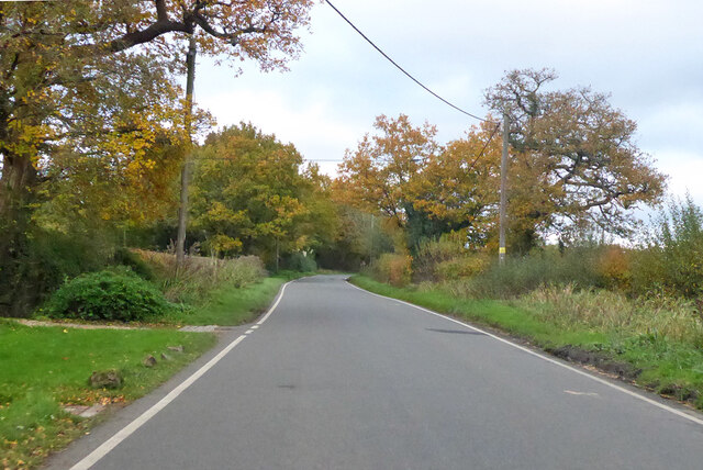
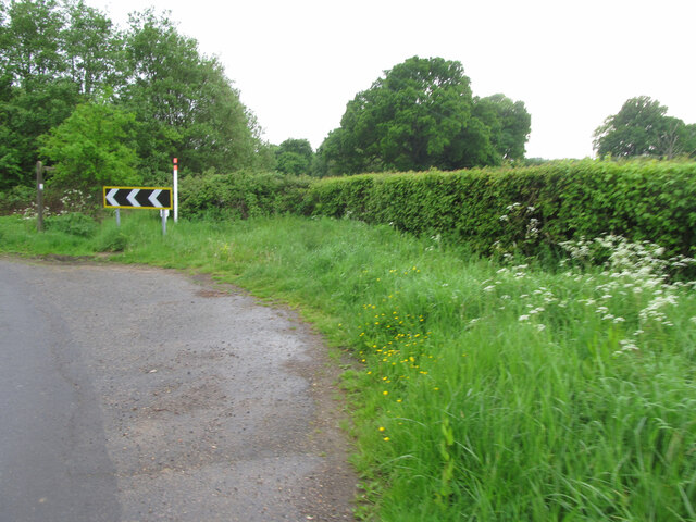
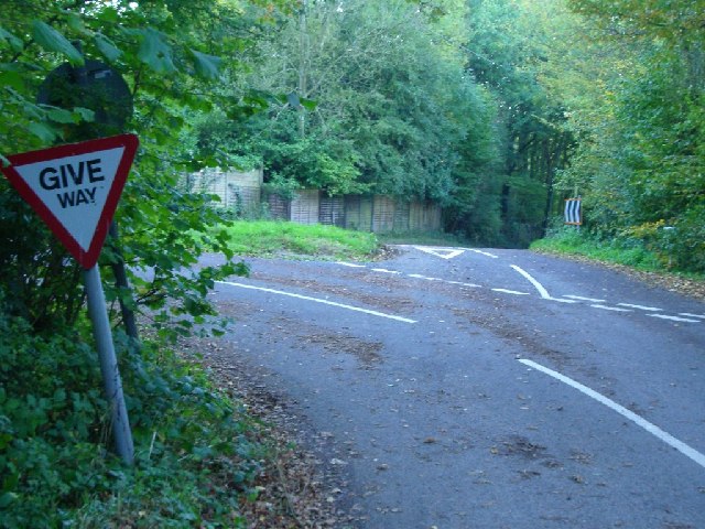
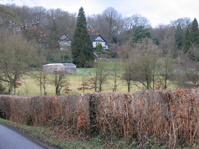
Beare Green Images
Images are sourced within 2km of 51.17077/-0.31924 or Grid Reference TQ1742. Thanks to Geograph Open Source API. All images are credited.


Beare Green is located at Grid Ref: TQ1742 (Lat: 51.17077, Lng: -0.31924)
Administrative County: Surrey
District: Mole Valley
Police Authority: Surrey
What 3 Words
///dated.fits.lungs. Near Holmwood, Surrey
Nearby Locations
Related Wikis

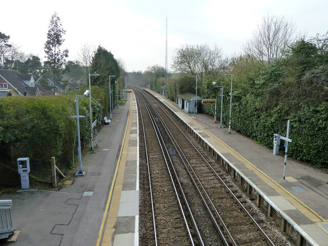
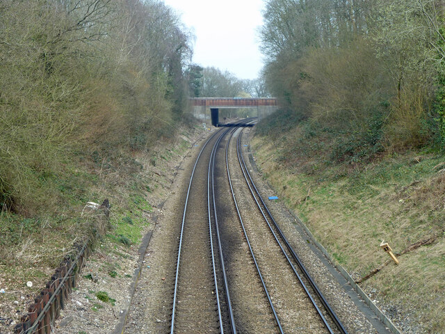
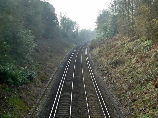
Holmwood railway station
Holmwood railway station serves the villages of Beare Green and South Holmwood in Surrey, England, on the Sutton and Mole Valley Lines between Dorking...

Capel, Surrey
Capel () is a village and civil parish in southern Surrey, England. It is equidistant between Dorking and Horsham – about 5 miles (8.0 km) away. Around...

Ockley railway station
Ockley railway station serves the villages of Ockley and Capel in Surrey, England and is 1.4 miles (2.3 km) from Ockley village and 0.5 miles (0.80 km...

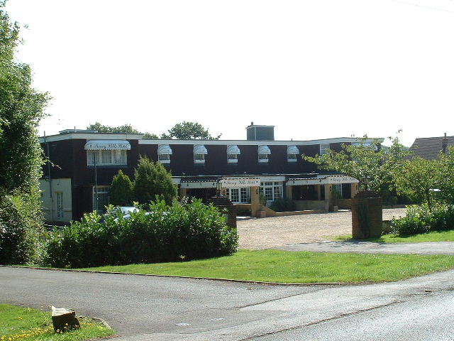
Broome Hall
Broome Hall is a Grade II-listed country house with grounds including cottages and outhouses on the wooded, upper southern slopes of the Greensand Ridge...

Newdigate Brickworks
Newdigate Brickworks is a 24-hectare (59-acre) nature reserve in Newdigate in Surrey. It is managed by the Surrey Wildlife Trust.The clay pits of this...

Newdigate
Newdigate is a village and civil parish in the Mole Valley borough of Surrey lying in a relatively flat part of the Weald to the east of the A24 road between...

Coldharbour, Surrey
Coldharbour is a hamlet in the Mole Valley district, in the English county of Surrey. It is on a minor road from Dorking to Leith Hill Place. == Description... ==

Greensand Ridge
The Greensand Ridge, also known as the Wealden Greensand, is an extensive, prominent, often wooded, mixed greensand/sandstone escarpment in south-east...
Nearby Amenities
Located within 500m of 51.17077,-0.31924Have you been to Beare Green?
Leave your review of Beare Green below (or comments, questions and feedback).