Blandford, Lower
Settlement in Dorset
England
Blandford, Lower
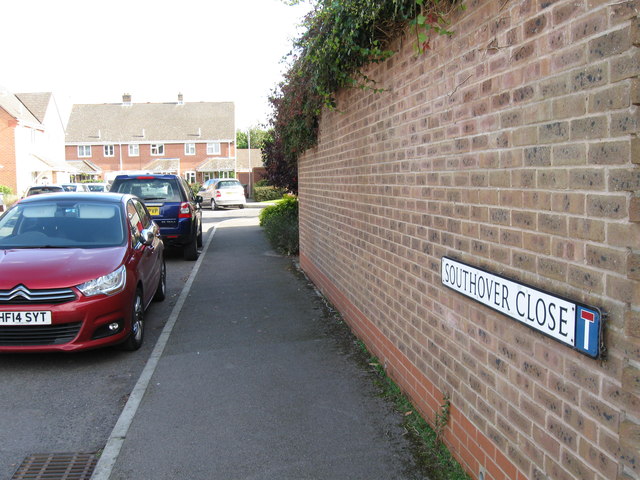
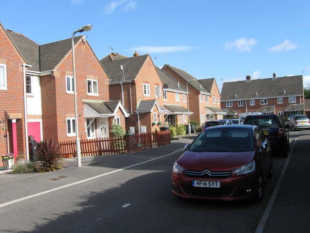
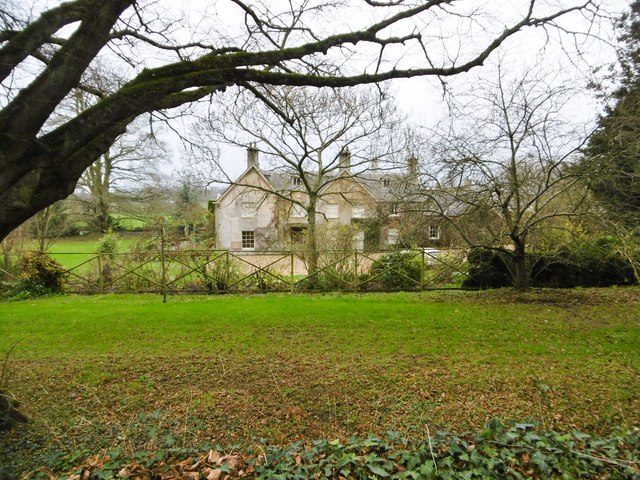
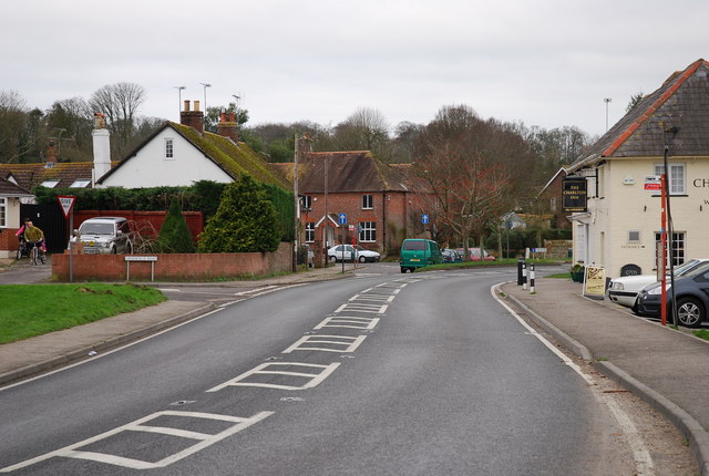
Blandford, Lower is a small town located in the county of Dorset, England. Situated on the banks of the River Stour, it is part of the larger town of Blandford Forum. With a population of around 4,500 people, it is a close-knit community that exudes a charming and traditional English countryside atmosphere.
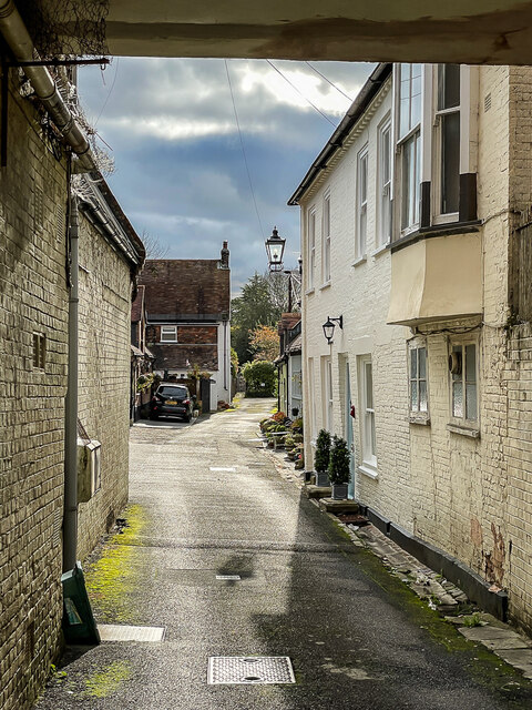
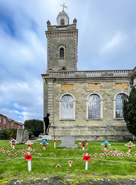
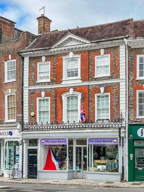
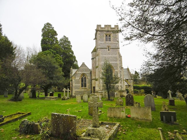
The town is known for its picturesque Georgian architecture, which was largely rebuilt after a devastating fire in 1731. The carefully restored buildings showcase the town's rich history and offer visitors a glimpse into its past. The iconic Blandford Town Hall, with its elegant clock tower, is a prominent feature in the town center.
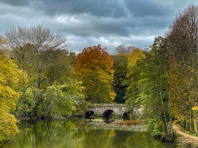
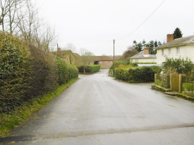
Blandford, Lower is surrounded by beautiful countryside, with rolling hills and expansive meadows providing a scenic backdrop. It is a popular destination for outdoor enthusiasts, offering opportunities for walking, cycling, and fishing along the River Stour.
In terms of amenities, the town boasts a range of local shops, cafes, and pubs, catering to the needs of both residents and visitors. The nearby Blandford Community Hospital provides healthcare services to the local population, ensuring their well-being.
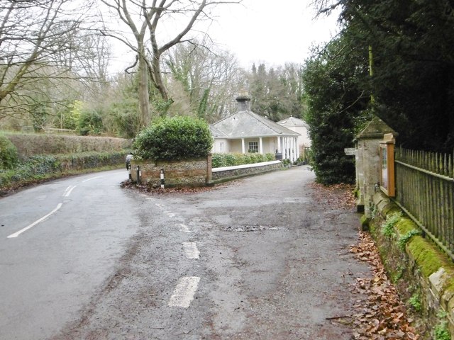
Transport links to Blandford, Lower are well-established, with regular bus services connecting the town to neighboring settlements and the larger town of Blandford Forum. The A354 road runs through the area, providing easy access to other parts of Dorset and beyond.
Overall, Blandford, Lower is a charming and idyllic town that offers a peaceful escape from the hustle and bustle of city life. Its rich history, stunning architecture, and beautiful surroundings make it a delightful place to visit or reside.
If you have any feedback on the listing, please let us know in the comments section below.
Blandford, Lower Images
Images are sourced within 2km of 50.844416/-2.1576053 or Grid Reference ST8905. Thanks to Geograph Open Source API. All images are credited.


Blandford, Lower is located at Grid Ref: ST8905 (Lat: 50.844416, Lng: -2.1576053)
Unitary Authority: Dorset
Police Authority: Dorset
What 3 Words
///dried.lands.bundles. Near Charlton Marshall, Dorset
Nearby Locations
Related Wikis

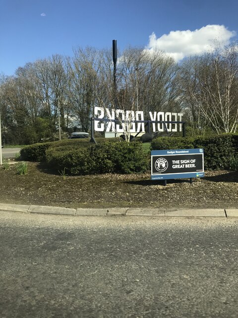
A354 road
The A354 is a primary route in England which runs from Salisbury in Wiltshire to Easton on the Isle of Portland in Dorset, a total distance of 51 miles...

Blandford St Mary
Blandford St Mary is a village and civil parish in the North Dorset district of Dorset, England. The village is on the south bank of the River Stour, immediately...

Charlton Marshall Halt railway station
Charlton Marshall Halt was a station in the English county of Dorset. It was located between Blandford Forum and Bailey Gate on the Somerset and Dorset...

Langton Long Blandford
Langton Long Blandford is a small village and civil parish in the county of Dorset in southern England. It is sited by the River Stour, approximately 3...

Pump House, Blandford Forum
The Pump House, Blandford Forum, Dorset, England, is an 18th-century water source erected in 1760 in commemoration of a fire which almost destroyed the...

Blandford Forum
Blandford Forum ( BLAN-fərd) is a market town in Dorset, England, by the River Stour 13 miles (21 kilometres) northwest of Poole. It had a population of...

Blandford Forum Town Hall
Blandford Forum Town Hall is a municipal building in the Market Place in Blandford Forum, Dorset, England. The 18th-century structure, which was the meeting...
Charlton Marshall
Charlton Marshall is a village and civil parish in the English county of Dorset. It lies within the North Dorset administrative district, on the A350 road...
Nearby Amenities
Located within 500m of 50.844416,-2.1576053Have you been to Blandford, Lower?
Leave your review of Blandford, Lower below (or comments, questions and feedback).