Geo of Rue
Coastal Feature, Headland, Point in Orkney
Scotland
Geo of Rue
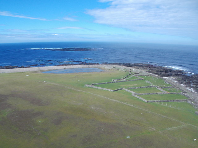
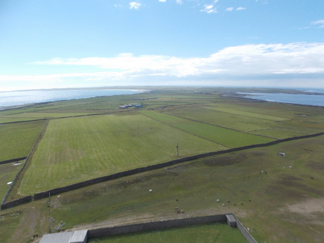
Geo of Rue is a prominent coastal feature located on the island of Orkney, Scotland. It is classified as a headland or point due to its distinctive shape and geographical characteristics. The Geo of Rue is situated on the eastern coast of Orkney, approximately 3 miles north of the town of Stromness.
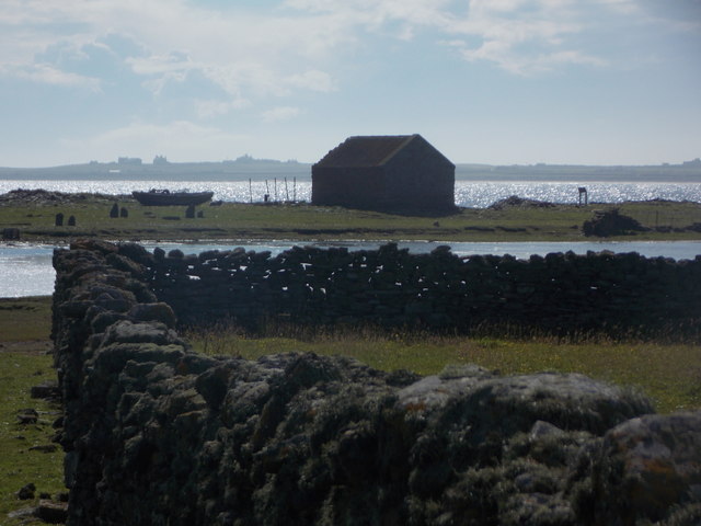
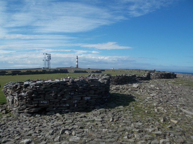
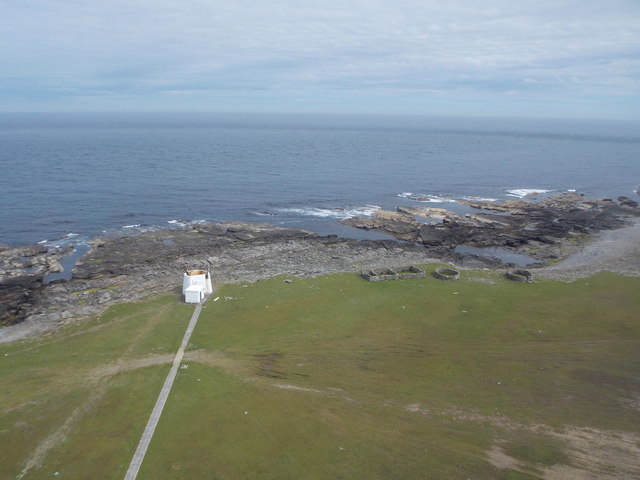
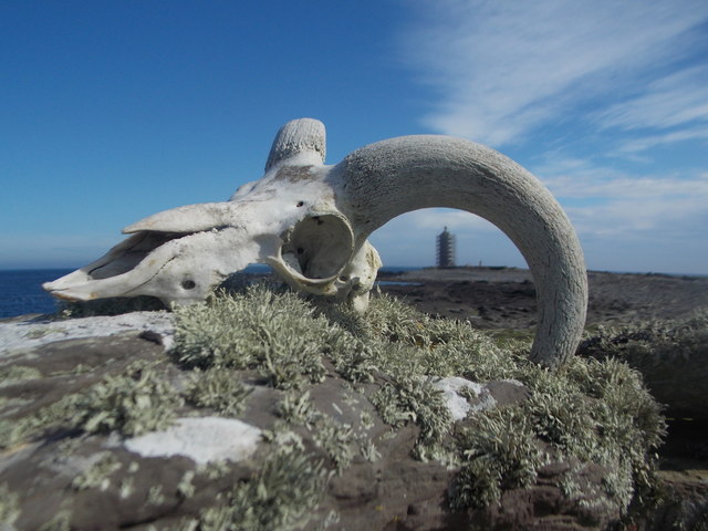
The headland is characterized by its steep cliffs, which rise to a height of around 100 feet above sea level. These cliffs are composed of rugged sandstone, creating a striking visual contrast against the surrounding landscape. The Geo of Rue is also known for its unique rock formations, including sea stacks and caves, which have been sculpted by the relentless action of the sea over time.
Due to its exposed location on the coast, the Geo of Rue is subject to strong ocean currents and powerful waves, making it an attractive spot for experienced surfers and water sports enthusiasts. The headland also provides breathtaking views of the surrounding coastline and the nearby islands of Hoy and Graemsay.
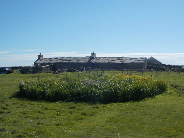
In addition to its natural beauty, the Geo of Rue holds historical significance. It is believed to have been a site of human activity since ancient times, as evidenced by the presence of Neolithic and Iron Age settlements in the vicinity. The headland is also associated with local folklore and legends, adding to its mystique and allure.
Overall, the Geo of Rue is a captivating coastal feature that showcases the rugged beauty and rich history of Orkney. Its dramatic cliffs, unique rock formations, and panoramic views make it a popular destination for nature lovers, historians, and outdoor enthusiasts alike.
If you have any feedback on the listing, please let us know in the comments section below.
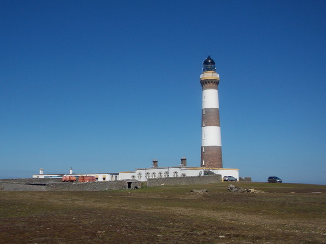
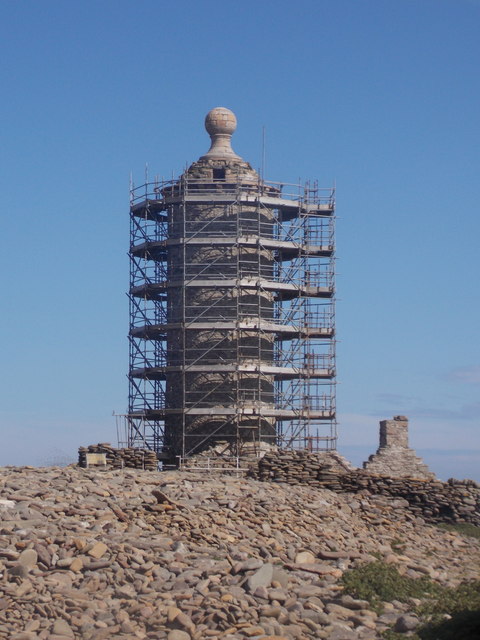
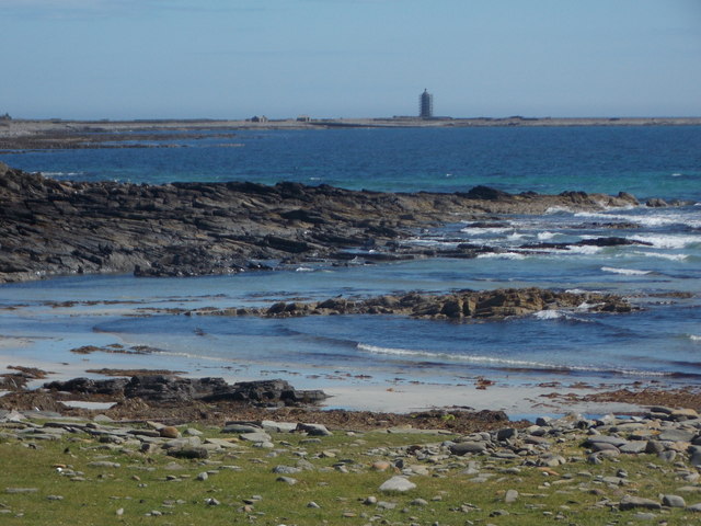
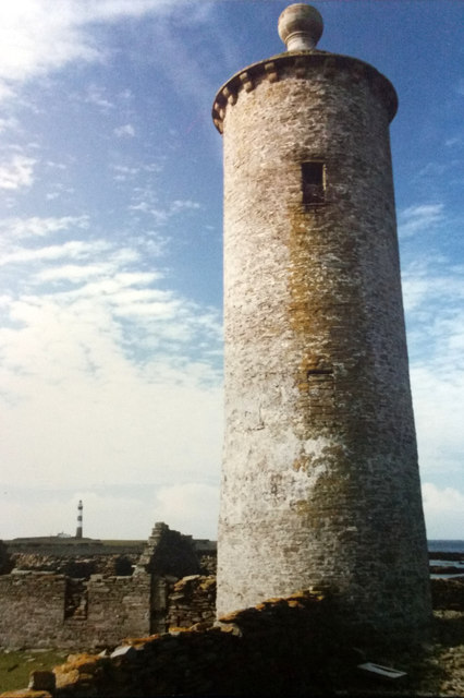
Geo of Rue Images
Images are sourced within 2km of 59.384293/-2.3802507 or Grid Reference HY7855. Thanks to Geograph Open Source API. All images are credited.

Geo of Rue is located at Grid Ref: HY7855 (Lat: 59.384293, Lng: -2.3802507)
Unitary Authority: Orkney Islands
Police Authority: Highlands and Islands
What 3 Words
///mailers.indicated.sweep. Near Hollandstoun, Orkney Islands
Nearby Locations
Related Wikis

Ancumtoun
Ancumtoun is a small settlement in the north of the island of North Ronaldsay, Orkney, Scotland. The settlement is within the parish of Cross and Burness...

North Ronaldsay Airport
North Ronaldsay Airport (IATA: NRL, ICAO: EGEN) is located on North Ronaldsay island, 28 NM (52 km; 32 mi) northeast by north of Kirkwall, Orkney Islands...

Bustatoun
Bustatoun is a village on the island of North Ronaldsay, in Orkney, Scotland. The settlement is within the parish of Cross and Burness. == References... ==
Broch of Burrian
The Broch of Burrian is an Iron Age broch located on North Ronaldsay in the Orkney Islands, in Scotland (grid reference HY76275138). == Location == The...
Nearby Amenities
Located within 500m of 59.384293,-2.3802507Have you been to Geo of Rue?
Leave your review of Geo of Rue below (or comments, questions and feedback).