Bartle, Lower

Settlement in Lancashire Preston

England

Bartle, Lower

Old Milestone Marker 48-09 F (between bridges 35-34), Lancaster Canal Old Milestone located by the side of the Lancaster Canal
This milestone is 9 miles from the centre of Preston and 48 miles from Kendal

Inscription reads:- 
Preston / 9 (missing) :: Garstang / 8 (missing) 

Milestone Society National ID: LAN-09
Old Milestone Marker 48-09 F (between bridges 35-34), Lancaster Canal Credit: Cactus Chris

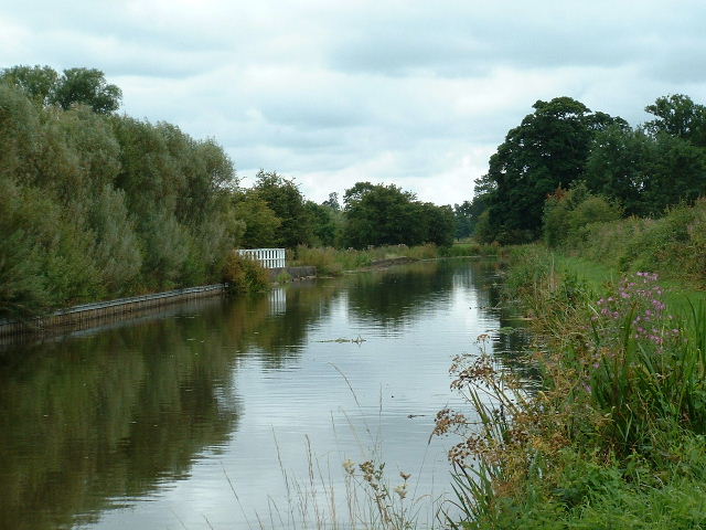
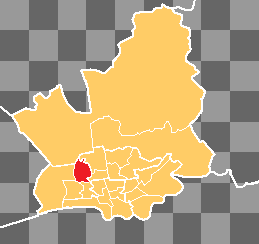
Bartle is a small village located in the Lower division of the Fylde borough, in Lancashire, England. Situated approximately five miles northeast of the city of Preston, Bartle is a picturesque rural settlement encompassed by lush green fields and rolling countryside.

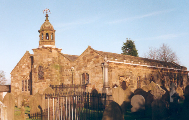
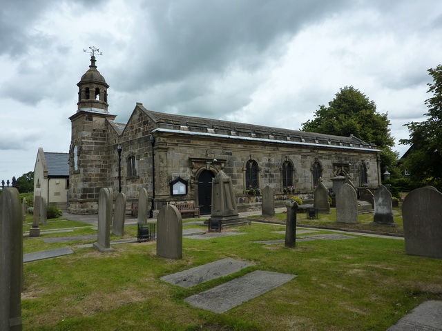
The village's history dates back to medieval times, with evidence of its existence found in records as early as the 12th century. Bartle has retained its rural charm and character throughout the years, with several historic buildings still standing. Notably, St. Bartle's Church, a Grade II listed building, is a prominent landmark in the village. The church boasts a striking architecture, with elements dating back to the 15th century.

Agriculture is a significant part of Bartle's economy, with many residents involved in farming and related industries. The fertile soil and favorable climate make it an ideal location for cultivating crops and rearing livestock. The village is also known for its annual agricultural show, where locals showcase their produce and livestock, attracting visitors from near and far.

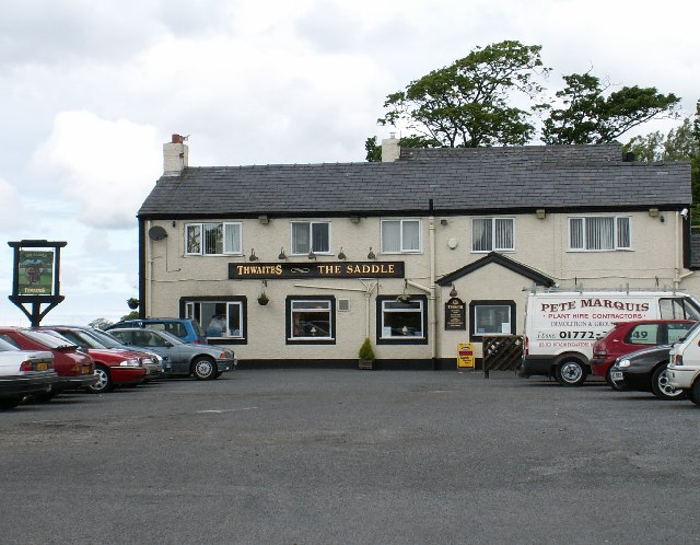
Despite its small size, Bartle offers a close-knit community feel, with various social and recreational activities organized throughout the year. The village has a local pub, village hall, and a cricket club, providing residents with opportunities for socializing and leisure.

Bartle's idyllic location, surrounded by beautiful countryside, makes it a popular destination for outdoor enthusiasts. The village is surrounded by numerous walking and cycling trails, allowing visitors to explore the scenic landscapes and enjoy the tranquility of the area.

Overall, Bartle is a charming village that combines its rich history, agricultural heritage, and natural beauty to create a welcoming and picturesque destination in Lower Lancashire.

If you have any feedback on the listing, please let us know in the comments section below.

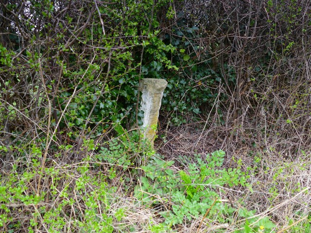
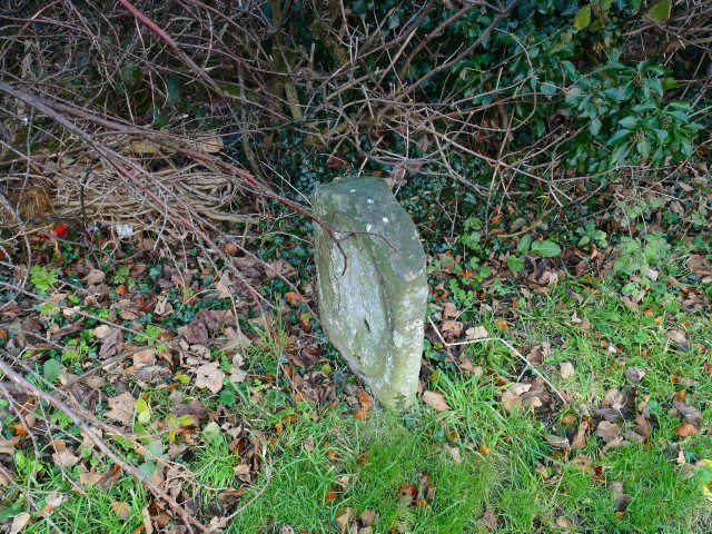
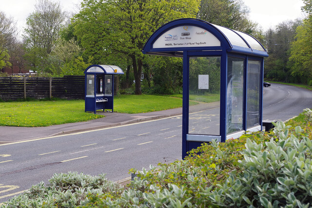
Bartle, Lower Images

Images are sourced within 2km of 53.797585/-2.769091 or Grid Reference SD4933. Thanks to Geograph Open Source API. All images are credited.

Old Milestone Marker 48-09 F (between bridges 35-34), Lancaster Canal Old Milestone located by the side of the Lancaster Canal
This milestone is 9 miles from the centre of Preston and 48 miles from Kendal

Inscription reads:- 
Preston / 9 (missing) :: Garstang / 8 (missing) 

Milestone Society National ID: LAN-09
Old Milestone Marker 48-09 F (between bridges 35-34), Lancaster Canal
Old Milestone located by the side of the Lancaster Canal This milestone is 9 miles from the centre of Preston and 48 miles from Kendal Inscription reads:- Preston / 9 (missing) :: Garstang / 8 (missing) Milestone Society National ID: LAN-09
Old Milestone Marker 49-08 F (between bridges 32-31), Lancaster Canal Old Milestone located by the side of the Lancaster Canal
This milestone is 8 miles from the centre of Preston and 49 miles from Kendal

Inscription reads:- 
Preston / 8 (missing) :: Garstang / 9 (missing) 

Milestone Society National ID: LAN-08
Old Milestone Marker 49-08 F (between bridges 32-31), Lancaster Canal
Old Milestone located by the side of the Lancaster Canal This milestone is 8 miles from the centre of Preston and 49 miles from Kendal Inscription reads:- Preston / 8 (missing) :: Garstang / 9 (missing) Milestone Society National ID: LAN-08
Milestone Marker 48-09 F (between bridges 35-34), Lancaster Canal Milestone located by the side of the Lancaster Canal
This milestone is 9 miles from the centre of Preston and 48 miles from Kendal

Inscription reads:-
Preston / 9 :: Garstang / 8

Milestone Society National ID: LAN-09R 

Note: The original milestone is badly damaged, but is still in situ behind the replacement, but deep in the bushes.
Milestone Marker 48-09 F (between bridges 35-34), Lancaster Canal
Milestone located by the side of the Lancaster Canal This milestone is 9 miles from the centre of Preston and 48 miles from Kendal Inscription reads:- Preston / 9 :: Garstang / 8 Milestone Society National ID: LAN-09R Note: The original milestone is badly damaged, but is still in situ behind the replacement, but deep in the bushes.
Newly Planted trees at Junction 3 of the M55
Electricity Pylon by the M55
The Ancient Oak, Cottam This large modern pub on Merrytrees Lane is operated by Ember Inns, part of Mitchells & Butlers. It is very much a family-friendly food-orientated establishment.
The Ancient Oak, Cottam
This large modern pub on Merrytrees Lane is operated by Ember Inns, part of Mitchells & Butlers. It is very much a family-friendly food-orientated establishment.
Tom Benson Way, Cottam Named after Preston's famous marathon walker, this modern road, opened in 1985, is a stretch of the B6241 giving access to some of the city's north-western suburbs.
Tom Benson Way, Cottam
Named after Preston's famous marathon walker, this modern road, opened in 1985, is a stretch of the B6241 giving access to some of the city's north-western suburbs.
Tanterton Hall Road, Ingol Two of Preston's neat bus shelters almost face each other on Tanterton Hall Road in the city's north-western suburbs.
Tanterton Hall Road, Ingol
Two of Preston's neat bus shelters almost face each other on Tanterton Hall Road in the city's north-western suburbs.
Footpath crosses the M55
The "Sitting Goose" The only significant feature of this square is the presence of two country pubs, the Saddle and the Sitting Goose. Local opinions vary about which is the better pub, but for the purposes of Geograph, the Sitting Goose is marginally the more attractive of the two.
The "Sitting Goose"
The only significant feature of this square is the presence of two country pubs, the Saddle and the Sitting Goose. Local opinions vary about which is the better pub, but for the purposes of Geograph, the Sitting Goose is marginally the more attractive of the two.
"The Saddle" The only significant feature of this square is the presence of two country pubs, the Saddle and the Sitting Goose. Local opinions vary about which is the better pub, but for the purposes of Geograph, the Sitting Goose is marginally the more attractive of the two.
"The Saddle"
The only significant feature of this square is the presence of two country pubs, the Saddle and the Sitting Goose. Local opinions vary about which is the better pub, but for the purposes of Geograph, the Sitting Goose is marginally the more attractive of the two.
Bartle Hall Former home of the Birley family which played an important part in the commercial, civic and social life of the town of Kirkham. Now a country hotel.
Bartle Hall
Former home of the Birley family which played an important part in the commercial, civic and social life of the town of Kirkham. Now a country hotel.
The "Sitting Goose" The "Sitting Goose" and "The Saddle" are two long established country pubs in this square. There is nothing else of any significant interest in this square.
The "Sitting Goose"
The "Sitting Goose" and "The Saddle" are two long established country pubs in this square. There is nothing else of any significant interest in this square.
A small cluster of houses in the country This small cluster of houses do not appear on the 1940's map - they are at the junction in the bottom left of the square. Their style is that of 1960's council houses, and they present a somewhat jarring image when passing through otherwise open farmland.
A small cluster of houses in the country
This small cluster of houses do not appear on the 1940's map - they are at the junction in the bottom left of the square. Their style is that of 1960's council houses, and they present a somewhat jarring image when passing through otherwise open farmland.
Canal nr Moor Side Lancaster canal looking SW
Canal nr Moor Side
Lancaster canal looking SW
St Anne's Church, Woodplumpton
Bartle Hall Bartle Hall is now a hotel
Bartle Hall
Bartle Hall is now a hotel
The Sitting Goose A good food pub
The Sitting Goose
A good food pub
Show me another place!

Bartle, Lower is located at Grid Ref: SD4933 (Lat: 53.797585, Lng: -2.769091)

Administrative County: Lancashire

District: Preston

Police Authority: Lancashire

What 3 Words

///shout.bride.rots. Near Preston, Lancashire

Nearby Locations

Lower Bartle Bartle, Lower

Related Wikis

St Anne's Church, Woodplumpton

St Anne's is a church in the village of Woodplumpton in Lancashire, England. It is an active Anglican parish church in the Diocese of Blackburn, and the...

Woodplumpton

Woodplumpton is a village and civil parish in the City of Preston, Lancashire, England, located 5 miles (8 km) north of Preston. == Geography == It is...

Ingol

Ingol is an electoral ward and suburb of Preston, Lancashire, England. The population of the Ward as taken at the 2011 census was 7,369. The ward also...

Lea Road railway station

Lea Road railway station ( LEE-ə) was on the Preston and Wyre Joint Railway in the parish of Lea and Cottam in Preston, Lancashire, England. It opened...

Cottam Parkway railway station

Cottam Parkway is a proposed railway station to the west of Preston, England. The proposed station would serve existing and new developments in the Lea...
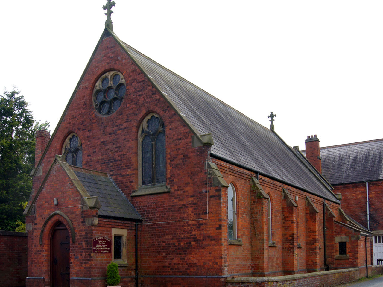
Catforth

Catforth is a village in the English civil parish of Woodplumpton and the City of Preston district, in Lancashire, England. There is a village hall and...

Broughton railway station (England)

Broughton railway station served the village of Broughton, Lancashire, England, from June to November 1840 on the Lancaster and Preston Junction Railway...

Greyfriars, Preston

Greyfriars is a largely residential suburban area of Preston, Lancashire, England, and an electoral ward. It is nowadays usually considered to be a district...

Nearby Amenities

Located within 500m of 53.797585,-2.769091
Lower Bartle
Place: hamlet
Source: npe and gazetteer
Lat/Long: 53.7967211/-2.7642315
Power: tower
Source: Bing
Lat/Long: 53.7945167/-2.7653258
Power: tower
Source: Bing
Lat/Long: 53.7974634/-2.762032
Power: tower
Source: Bing
Lat/Long: 53.7943765/-2.7738798
Power: tower
Source: Bing
Lat/Long: 53.800108/-2.7709573
Power: tower
Source: Bing
Lat/Long: 53.7973337/-2.7723102
Power: tower
Source: Bing
Lat/Long: 53.7988604/-2.7715939
Motorway Junction
Becconsall Bridge
Ref: 2
Lat/Long: 53.7991039/-2.7696702
The data included in this document is from www.openstreetmap.org. The data is made available under ODbL.

Have you been to Bartle, Lower?

Leave your review of Bartle, Lower below (or comments, questions and feedback).