Brierhaugh
Coastal Feature, Headland, Point in Angus
Scotland
Brierhaugh

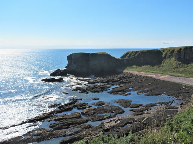
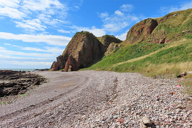
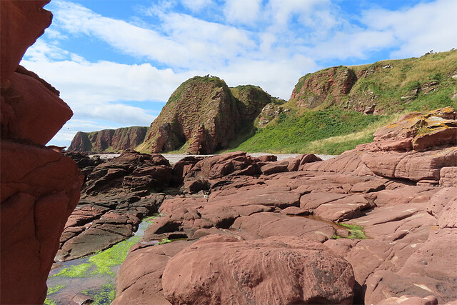
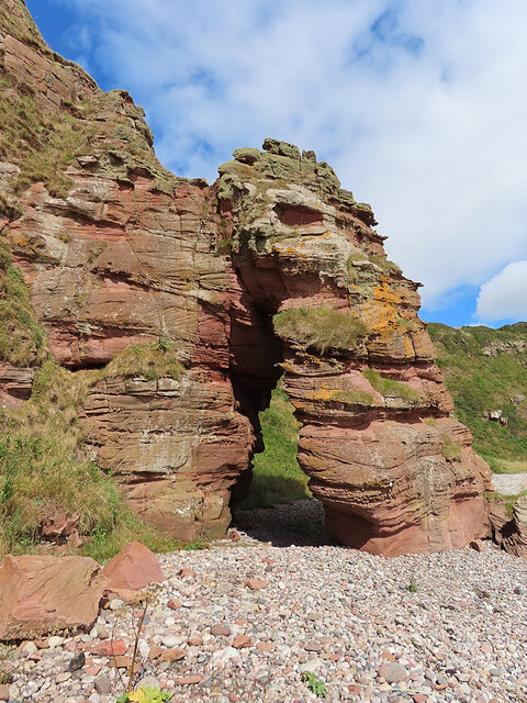
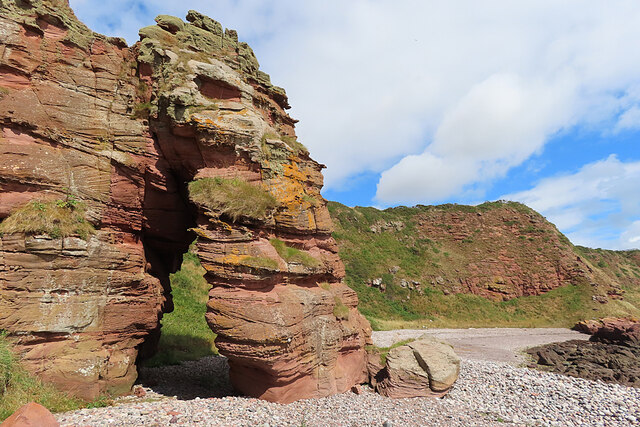
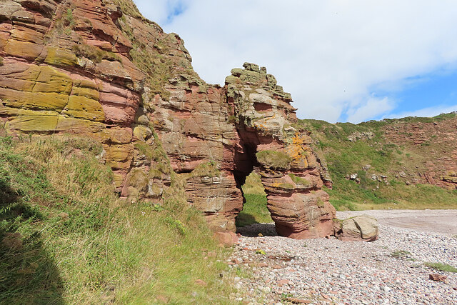
Brierhaugh is a prominent headland located in Angus, Scotland. Situated on the east coast, it juts out into the North Sea, offering stunning views of the surrounding coastal landscape. The headland is composed of rugged cliffs, which rise majestically from the sea, creating an imposing and dramatic sight.
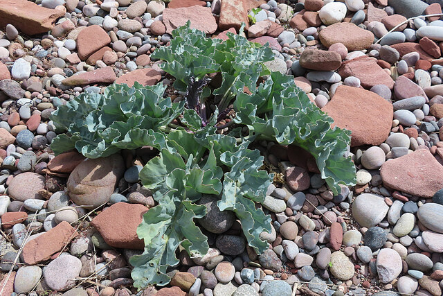
Brierhaugh is characterized by its rocky terrain, with large boulders scattered along the coastline. The headland is predominantly made up of sedimentary rocks, such as sandstone and limestone, which have been shaped by the relentless force of the sea over thousands of years. These geological features make Brierhaugh a fascinating site for geologists and nature enthusiasts alike.
The headland provides a habitat for a diverse range of marine wildlife, including seabirds, seals, and occasionally dolphins. Birdwatchers can spot various species, such as gulls, cormorants, and puffins, nesting and fishing in the area. The surrounding waters are also home to a variety of fish, making it a popular spot for anglers.
Brierhaugh is a popular destination for outdoor enthusiasts, offering opportunities for hiking, walking, and wildlife observation. There are well-defined trails along the headland, providing access to different vantage points and viewpoints. Visitors can explore the coastal paths, taking in the breathtaking scenery and enjoying the fresh sea air.
Due to its exposed location, Brierhaugh experiences strong winds and rough seas, particularly during stormy weather. It is advisable for visitors to take precautions and dress appropriately for the conditions. However, even on calmer days, the headland's natural beauty and tranquility make it a captivating place to visit.
If you have any feedback on the listing, please let us know in the comments section below.
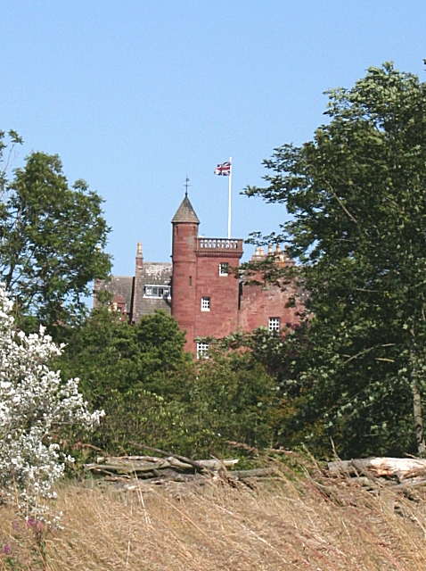
Brierhaugh Images
Images are sourced within 2km of 56.597702/-2.5092837 or Grid Reference NO6845. Thanks to Geograph Open Source API. All images are credited.


Brierhaugh is located at Grid Ref: NO6845 (Lat: 56.597702, Lng: -2.5092837)
Unitary Authority: Angus
Police Authority: Tayside
What 3 Words
///swatted.smarting.slack. Near Arbroath, Angus
Nearby Locations
Related Wikis

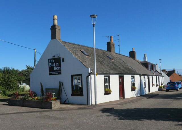
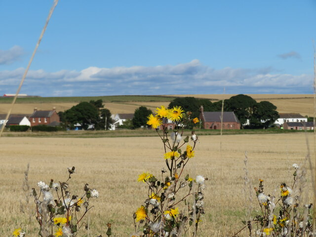
Auchmithie
Auchmithie is a small fishing village in Angus, Scotland, three miles north east of the town of Arbroath. It sits atop a cliff of red sandstone conglomerate...
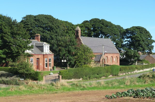
Ethie Castle
Ethie Castle is a 15,091 square feet (1,402.0 m2) 14th-century castle, situated around 3 miles north of the fishing town of Arbroath in Angus, Scotland...

Cauldcots railway station
Cauldcots railway station served the hamlet of Cauldcots, Angus, Scotland, from 1883 to 1930 on the North British, Arbroath and Montrose Railway. ��2...

Marywell
Marywell is a village in Angus, Scotland, that is north of Arbroath, in the parish of St Vigeans. == References == == Sources == Marywell in the Gazetteer...
Nearby Amenities
Located within 500m of 56.597702,-2.5092837Have you been to Brierhaugh?
Leave your review of Brierhaugh below (or comments, questions and feedback).