Leavo
Coastal Feature, Headland, Point in Orkney
Scotland
Leavo
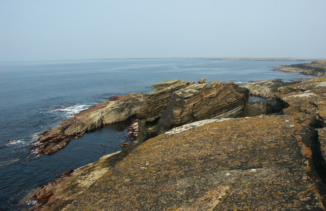
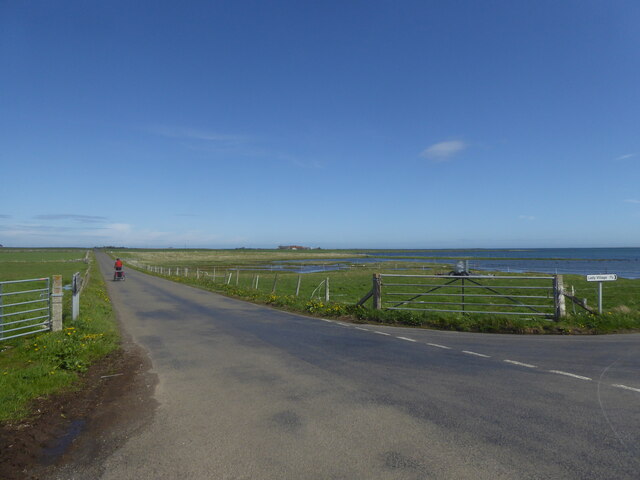
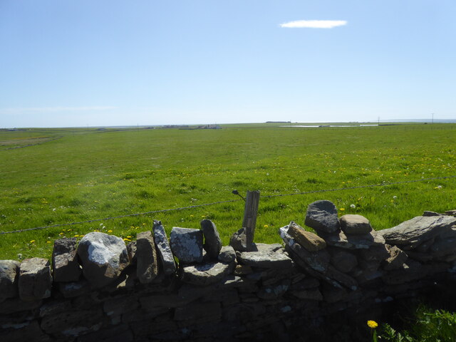
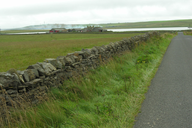
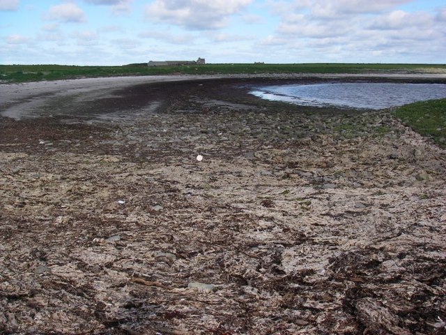
Leavo is a prominent headland located in Orkney, a group of islands off the northeastern coast of Scotland. Jutting out into the North Sea, it forms part of the rugged coastline that characterizes this region. With its commanding presence, Leavo serves as a notable coastal feature in the area.
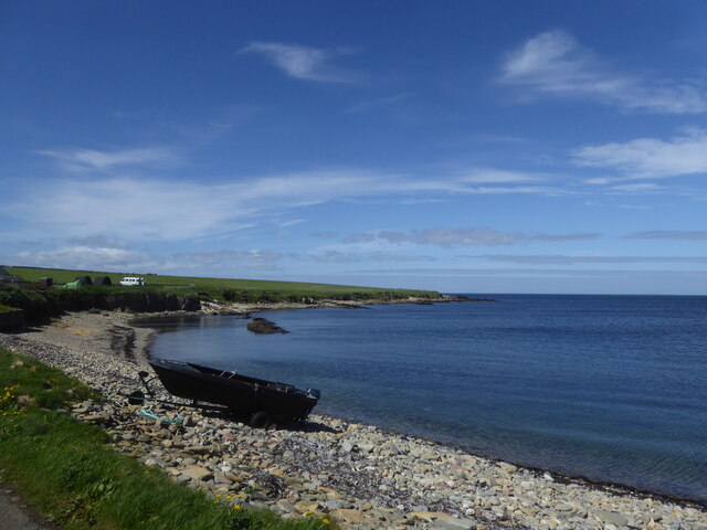
Standing tall and steep, the headland offers spectacular views of the surrounding landscape. From its summit, one can enjoy panoramic vistas of the vast sea, the neighboring islands, and the distant cliffs. The rugged cliffs of Leavo also provide a nesting site for various seabirds, creating a vibrant and lively atmosphere.
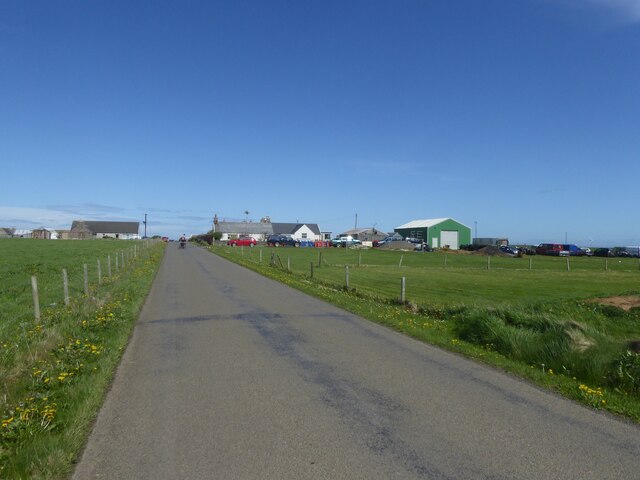
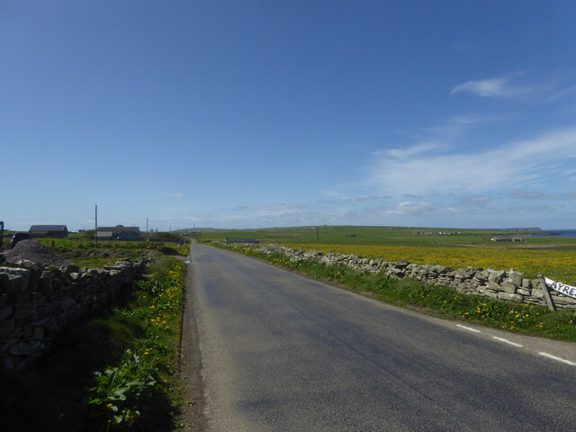
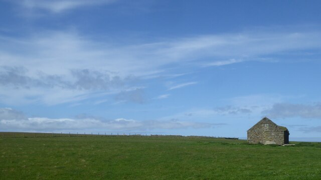
Leavo is a popular destination among nature enthusiasts and hikers who are drawn to its beauty and natural charm. The headland offers a variety of walking trails, allowing visitors to explore the area and discover its diverse flora and fauna. The coastal path leading to Leavo is known for its rugged terrain and can be challenging, but the stunning scenery and unique wildlife sightings make it a worthwhile endeavor.
In addition to its natural appeal, Leavo also holds historical significance. The headland is home to ancient ruins and archaeological remains, which bear witness to the rich heritage of the Orkney Islands. Exploring these remnants offers a glimpse into the past and provides a deeper understanding of the area's cultural and historical roots.
Overall, Leavo is a captivating coastal feature that combines natural beauty, wildlife, and historical value. Its stunning vistas, diverse wildlife, and rich history make it a must-visit destination for those seeking to immerse themselves in the enchanting world of Orkney.
If you have any feedback on the listing, please let us know in the comments section below.
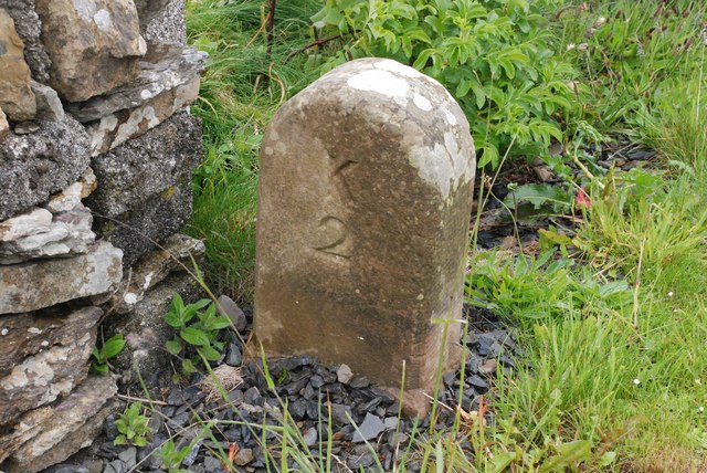
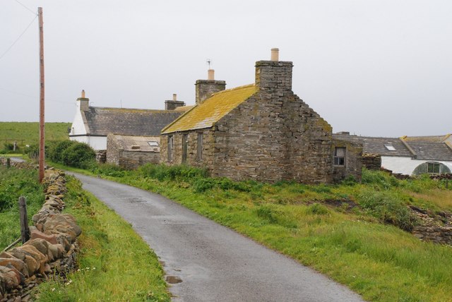
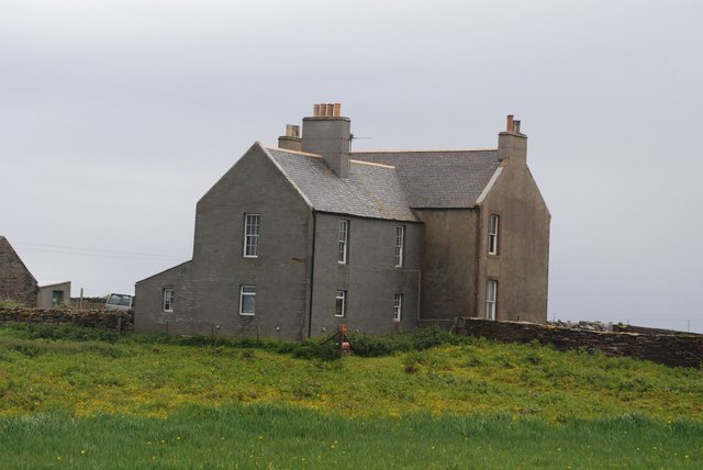
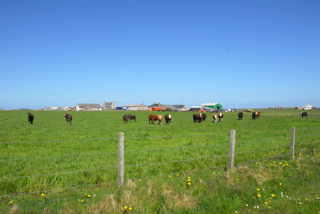
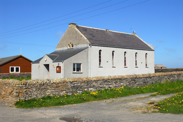
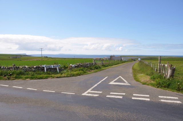
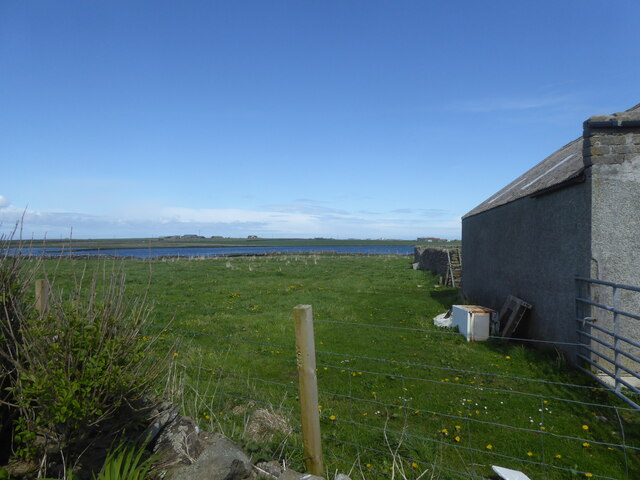
Leavo Images
Images are sourced within 2km of 59.264505/-2.6042889 or Grid Reference HY6542. Thanks to Geograph Open Source API. All images are credited.
Leavo is located at Grid Ref: HY6542 (Lat: 59.264505, Lng: -2.6042889)
Unitary Authority: Orkney Islands
Police Authority: Highlands and Islands
What 3 Words
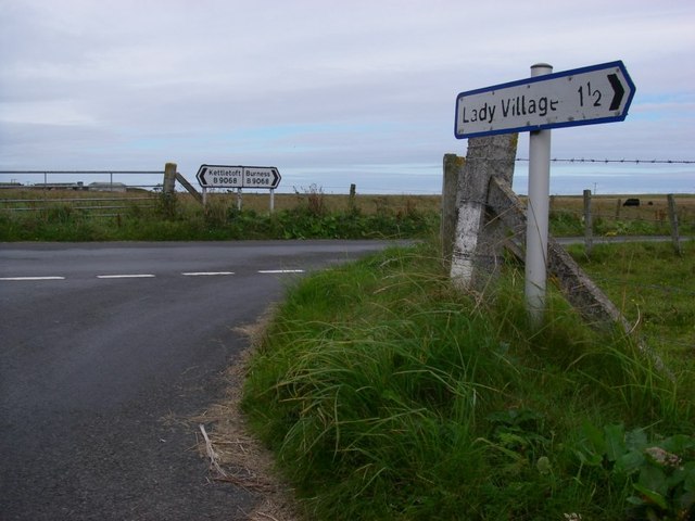
///inferior.both.lawns. Near Kettletoft, Orkney Islands
Nearby Locations
Related Wikis

Broughtown
Broughtown is a village on the island of Sanday, in Orkney, Scotland. The settlement is within the parish of Cross and Burness. Sanday Airport is adjacent...

Sanday Airport
Sanday Airport (IATA: NDY, ICAO: EGES) is located 20 NM (37 km; 23 mi) north northeast of Kirkwall Airport on Sanday, Orkney Islands, Scotland. Sanday...

Sanday, Orkney
Sanday (, Scots: Sandee) is one of the inhabited islands of Orkney that lies off the north coast of mainland Scotland. With an area of 50.43 km2 (19.5...

Scar, Orkney
Scar is a village and farm complex on the island of Sanday in Orkney, Scotland. The B9068 road runs from Scar to Kettletoft. The Scar boat burial was found...

Kettletoft
Kettletoft is a settlement on the island of Sanday in Orkney, Scotland. The B9068 road runs from Kettletoft to Scar and the B9069 from Kettletoft to Northwall...

Scar boat burial
The Scar boat burial is a Viking boat burial near the village of Scar, on Sanday, in Orkney, Scotland. The burial, which dates to between 875 and 950 AD...

East Sanday Coast
The East Sanday Coast is a protected wetland area on and around the island of Sanday, the third-largest of the Orkney islands off the north coast of Scotland...

Braeswick
Braeswick is a settlement on the island of Sanday, in Orkney, Scotland. The settlement is within the parish of Cross and Burness, and is situated on the...
Nearby Amenities
Located within 500m of 59.264505,-2.6042889Have you been to Leavo?
Leave your review of Leavo below (or comments, questions and feedback).