East Tarbet
Coastal Feature, Headland, Point in Fife
Scotland
East Tarbet
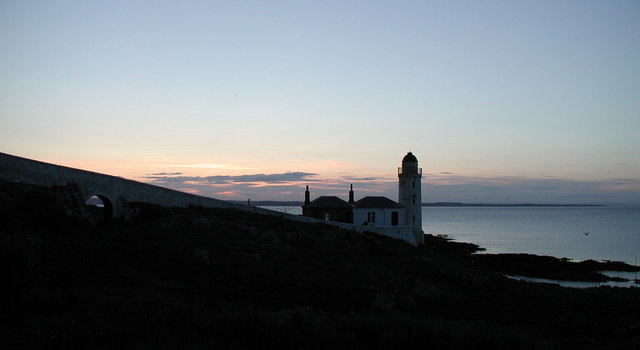
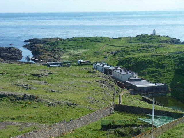
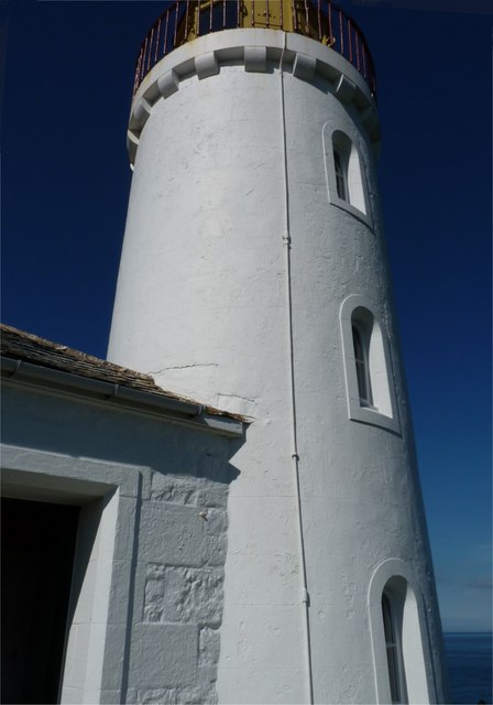
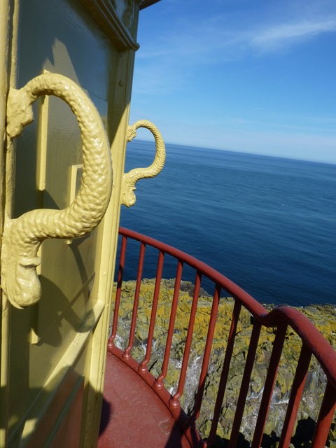
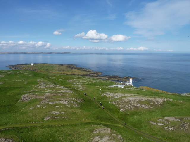
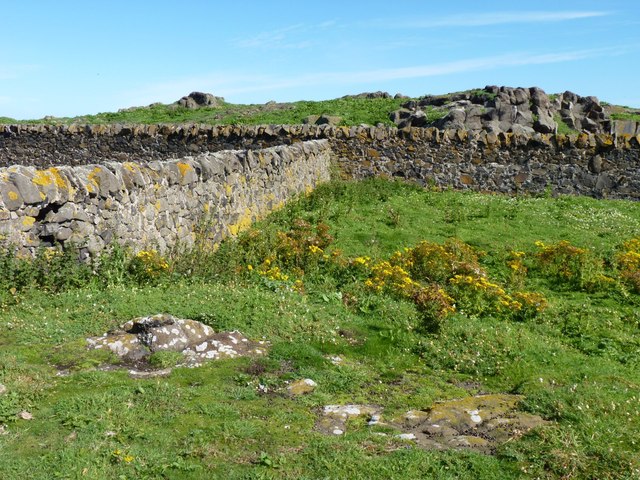
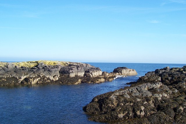
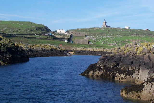
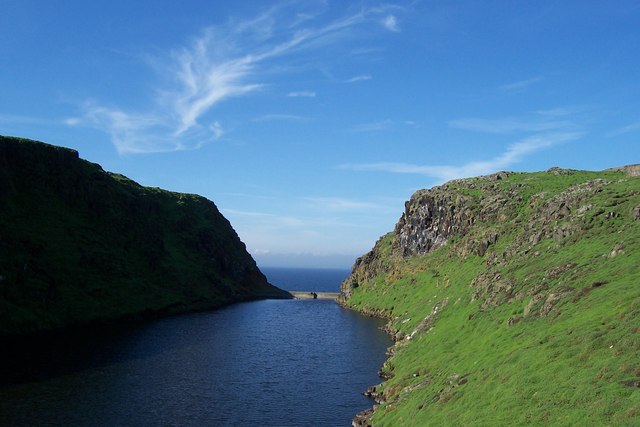
East Tarbet is a prominent coastal feature located in Fife, Scotland. It is a headland that juts out into the North Sea, forming a distinctive point along the eastern coast. With its picturesque setting and rugged beauty, East Tarbet is a popular destination for nature lovers, hikers, and photographers.
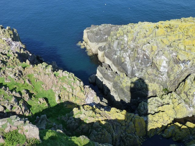
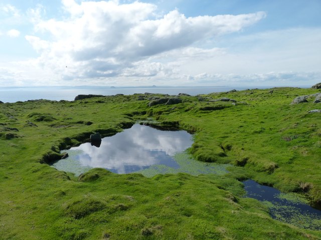
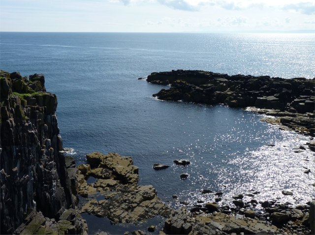
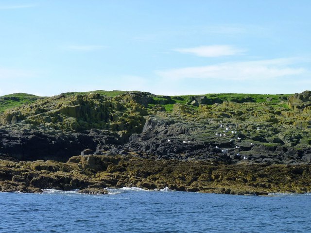
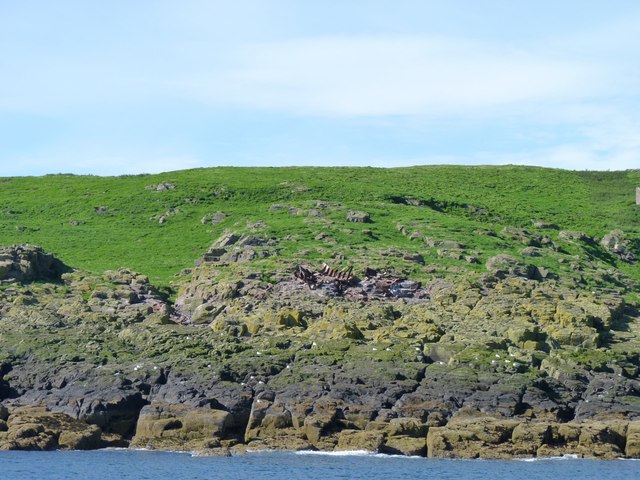
The headland is characterized by its towering cliffs, which provide stunning views of the surrounding coastline and the vast expanse of the sea. The cliffs are composed of sandstone and shale, showcasing layers of sedimentary rock formations that tell a tale of the area's geological history.
East Tarbet is also known for its diverse wildlife. The surrounding waters are home to a variety of marine life, including seals, dolphins, and seabirds such as puffins and gannets. Visitors can often spot these creatures frolicking in the waves or nesting on the cliffs.
The headland is a haven for outdoor enthusiasts, offering several walking trails that meander along the cliffs and provide breathtaking vistas at every turn. These trails are suitable for all skill levels and provide a chance to explore the rugged beauty of the coastal landscape.
East Tarbet is easily accessible, with a car park located nearby for visitors' convenience. The headland is a short distance from the charming coastal village of St Andrews, making it an ideal day trip for those exploring the region.
In summary, East Tarbet is a captivating headland and point along the Fife coast. Its dramatic cliffs, diverse wildlife, and scenic walking trails make it a must-visit destination for anyone seeking to immerse themselves in the natural beauty of Scotland's coastline.
If you have any feedback on the listing, please let us know in the comments section below.
East Tarbet Images
Images are sourced within 2km of 56.189472/-2.5601583 or Grid Reference NT6599. Thanks to Geograph Open Source API. All images are credited.
East Tarbet is located at Grid Ref: NT6599 (Lat: 56.189472, Lng: -2.5601583)
Unitary Authority: Fife
Police Authority: Fife
What 3 Words
///influence.coverings.refreshed. Near Crail, Fife
Nearby Locations
Related Wikis

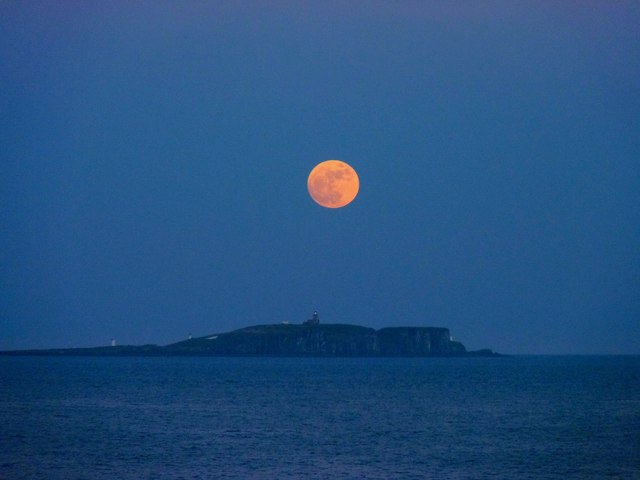
Isle of May
The Isle of May is located in the north of the outer Firth of Forth, approximately 8 km (5.0 mi) off the coast of mainland Scotland. It is about 1.5 kilometres...

Battle of May Island
The Battle of May Island is the name given to the series of accidents that occurred during Operation E.C.1 in 1918. Named after the Isle of May, a nearby...

Isle of May Priory
The Isle of May Priory was a monastery and community of Benedictine monks established for 9 monks of Reading Abbey on the Isle of May in the Firth of Forth...
SS Sneland I
Sneland I (Norwegian for “snowland one”) was a 1,791 GRT cargo ship which was built by Nüscke & Co. shipyard at Stettin-Grabow (then Germany) in 1922....

Crail Castle
Crail Castle was a castle that was located in Crail, Fife, Scotland. Crail became a Royal Burgh in the 12th century. The castle was frequented by King...

Cellardyke
Cellardyke is a village in the East Neuk of Fife, Scotland. The village is to the immediate east of Anstruther (the two effectively being conjoined) and...

Cellardyke Town Hall
Cellardyke Town Hall is a municipal structure in Tolbooth Wynd, Cellardyke, Fife, Scotland. The building accommodates a local history museum and is also...

Golf Hotel
The Golf Hotel is a hotel and restaurant in Crail, Fife, Scotland. It is a Category A listed building dating to the early 18th century, although one source...
Nearby Amenities
Located within 500m of 56.189472,-2.5601583Have you been to East Tarbet?
Leave your review of East Tarbet below (or comments, questions and feedback).