Scrogs
Coastal Feature, Headland, Point in Orkney
Scotland
Scrogs
Scrogs is a prominent coastal feature located in the Orkney Islands, an archipelago situated off the northeastern coast of Scotland. It is classified as a headland, also known as a point, and is known for its striking natural beauty and unique geological formations.
The headland of Scrogs is characterized by its rugged and steep cliffs that extend out into the North Sea. These cliffs are composed of layers of sedimentary rocks, primarily sandstone and shale, which have been shaped by the relentless forces of erosion over millions of years. The exposed cliffs offer breathtaking views of the surrounding sea, with its deep blue waters contrasting against the pale colors of the rocks.
The headland is also home to a diverse array of wildlife, both on land and in the surrounding waters. Seabirds such as puffins, razorbills, and guillemots can be seen nesting on the cliffs, while seals and dolphins occasionally make appearances in the waters below. The surrounding area is rich in marine life, with an abundance of fish, crabs, and other sea creatures.
Scrogs is a popular destination for nature enthusiasts and photographers, who come to admire its dramatic landscape and capture its beauty. Visitors can hike along the headland's coastal paths, explore its hidden coves and caves, or simply relax and enjoy the serenity of the surrounding environment.
In conclusion, Scrogs is a captivating headland in the Orkney Islands, offering stunning coastal views, unique geological formations, and a thriving ecosystem. It is a must-visit destination for those seeking natural beauty and tranquility in this remote and picturesque part of Scotland.
If you have any feedback on the listing, please let us know in the comments section below.
Scrogs Images
Images are sourced within 2km of 59.232542/-2.7113387 or Grid Reference HY5938. Thanks to Geograph Open Source API. All images are credited.


Scrogs is located at Grid Ref: HY5938 (Lat: 59.232542, Lng: -2.7113387)
Unitary Authority: Orkney Islands
Police Authority: Highlands and Islands
What 3 Words
///incensed.waltzes.since. Near Kettletoft, Orkney Islands
Nearby Locations
Related Wikis

Calf of Eday
The Calf of Eday (Scots: Cauf o Aidee; Old Norse: Kalfr) is an uninhabited island in Orkney, Scotland, lying north east of Eday. It is known for its wildlife...

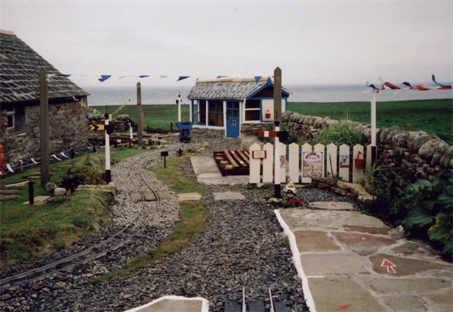
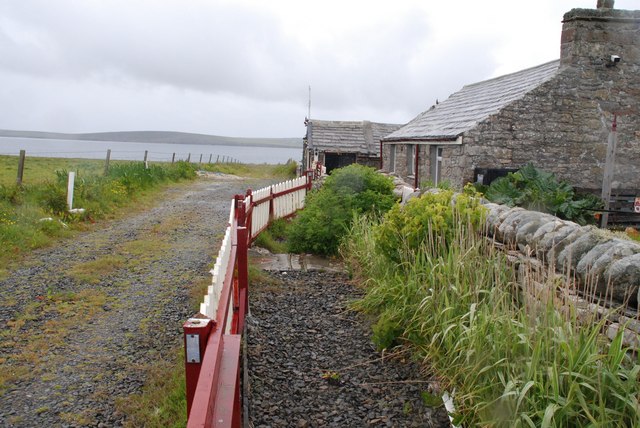
Sanday Light Railway
The Sanday Light Railway was a privately owned ridable miniature railway situated in Braeswick, on the island of Sanday, Orkney, Scotland. The railway...
Braeswick
Braeswick is a settlement on the island of Sanday, in Orkney, Scotland. The settlement is within the parish of Cross and Burness, and is situated on the...

Vinquoy chambered cairn
Vinquoy chambered cairn (grid reference HY56013809) is a Neolithic chambered cairn located on the island of Eday, in Orkney, Scotland. The tomb probably...
Nearby Amenities
Located within 500m of 59.232542,-2.7113387Have you been to Scrogs?
Leave your review of Scrogs below (or comments, questions and feedback).