Geo of Mustack
Coastal Feature, Headland, Point in Orkney
Scotland
Geo of Mustack
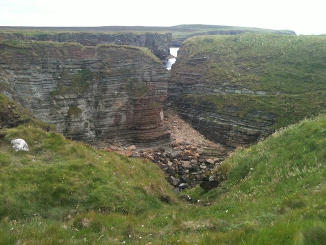
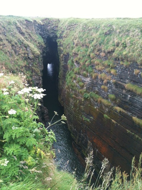
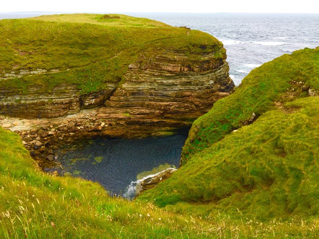
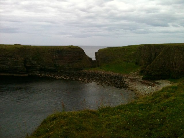
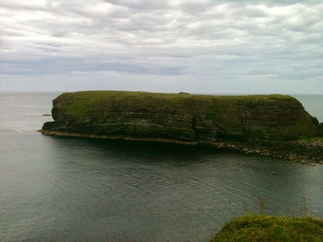
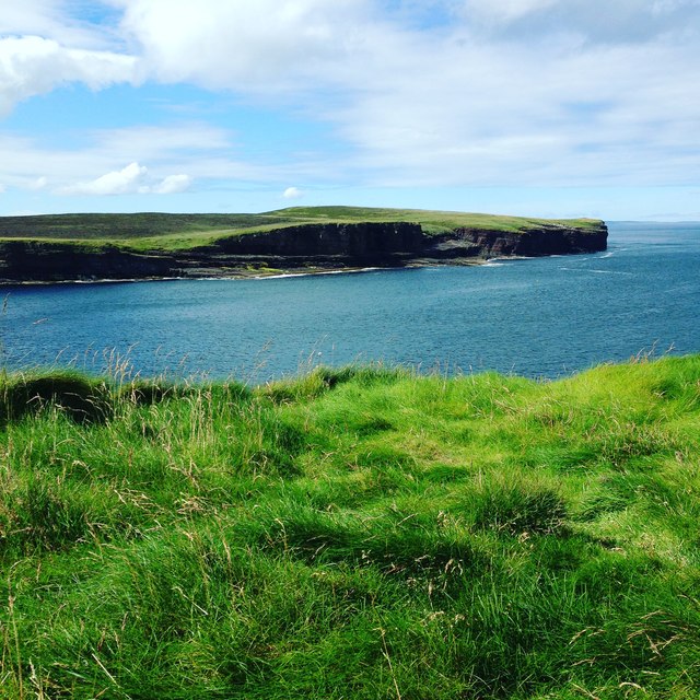
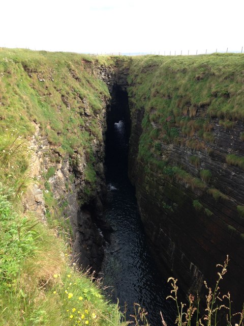
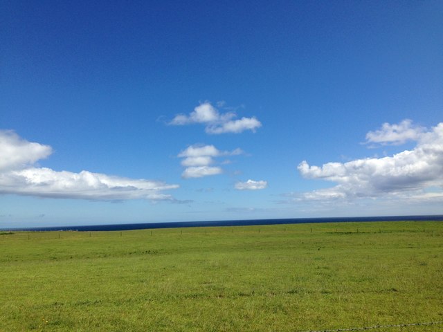
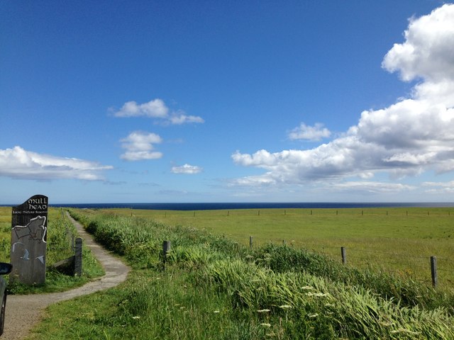
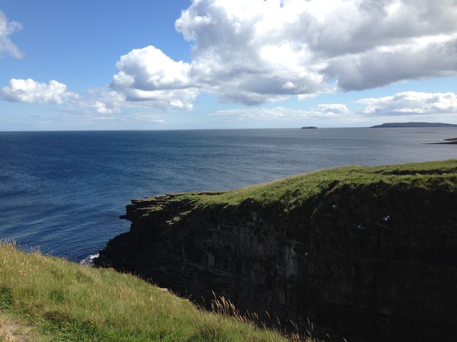
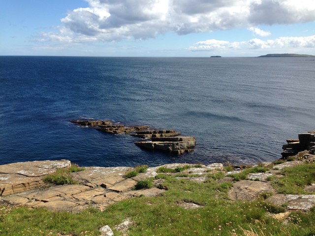
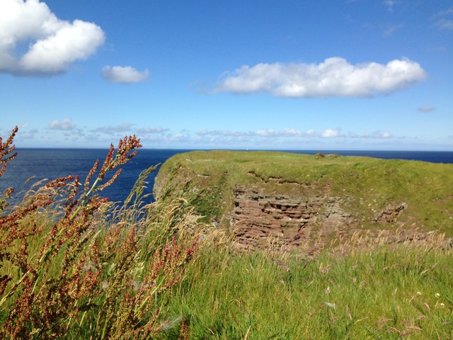
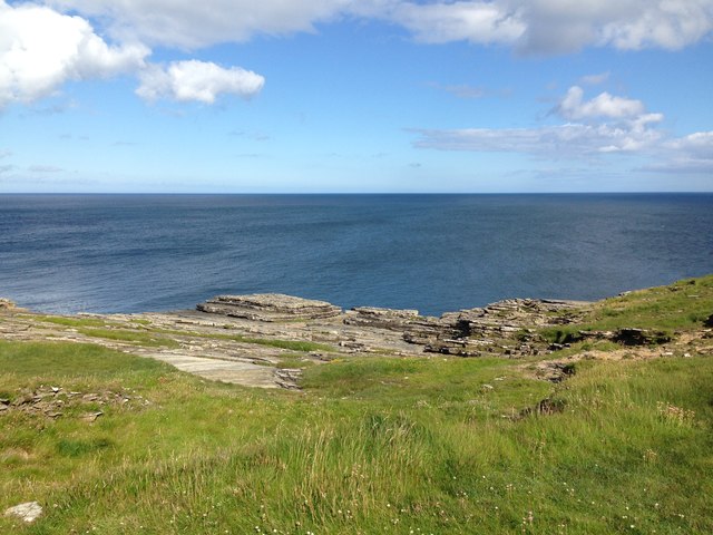
Geo of Mustack is a prominent coastal feature located in Orkney, Scotland. Situated on the northern coast of the Mainland, the largest island in the Orkney archipelago, Geo of Mustack is a remarkable headland that juts out into the North Sea.
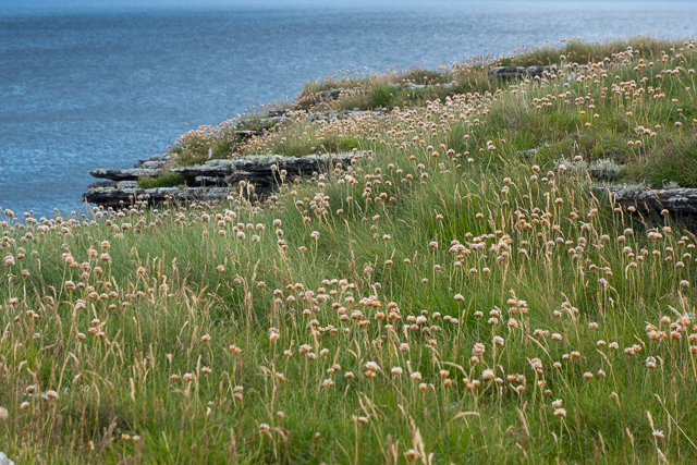
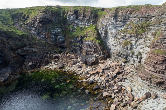
Characterized by its rugged cliffs and stunning sea views, Geo of Mustack offers a picturesque and dramatic landscape. The headland is composed of layers of sandstone and shale, which have been shaped by the relentless force of the waves over thousands of years. These geological formations provide a unique insight into the region's ancient history and are of great interest to both geologists and visitors alike.
The cliffs of Geo of Mustack reach impressive heights, with some measuring over 100 feet. These towering cliffs are home to a variety of seabirds, including puffins, guillemots, and fulmars, making it a popular spot for birdwatching enthusiasts. Additionally, the headland offers breathtaking panoramic views of the surrounding coastline, with its rugged cliffs and turbulent waters creating a truly awe-inspiring sight.
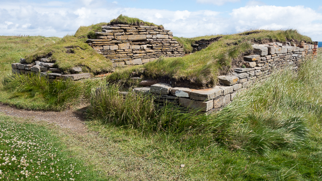
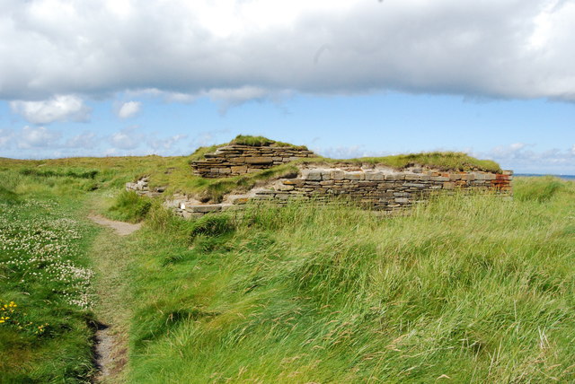
In addition to its natural beauty, Geo of Mustack also holds historical significance. The headland is believed to have been inhabited by humans since prehistoric times, and archaeological remains have been discovered in the area. These include ancient settlements, burial sites, and artifacts, providing valuable insights into the lives of the people who once called this coastal feature home.
Overall, Geo of Mustack is a captivating coastal feature that combines stunning natural beauty with historical significance. Its rugged cliffs, diverse wildlife, and archaeological importance make it a must-visit destination for nature lovers, history enthusiasts, and anyone seeking an unforgettable experience on the Orkney coast.
If you have any feedback on the listing, please let us know in the comments section below.
Geo of Mustack Images
Images are sourced within 2km of 58.952021/-2.7103501 or Grid Reference HY5907. Thanks to Geograph Open Source API. All images are credited.
Geo of Mustack is located at Grid Ref: HY5907 (Lat: 58.952021, Lng: -2.7103501)
Unitary Authority: Orkney Islands
Police Authority: Highlands and Islands
What 3 Words
///intensely.full.swarm. Near Deerness, Orkney Islands
Nearby Locations
Related Wikis

The Gloup
The Gloup () is a collapsed sea cave in the Mull Head Nature Reserve in the islands of Orkney, Scotland. The name derives from the Old Norse "gluppa",...

Deerness
Deerness (, locally , Old Norse: Dyrnes) is a quoad sacra parish (i.e. one created and functioning for ecclesiastical purposes only) and peninsula in Mainland...

Point of Ayre, Orkney
There are also two similarly named points in the British Isles: Point of Ayre, Isle of Man and Point of Ayr, Wales. Point of Ayre is a headland in the...

Black Holm
Black Holm is a small tidal island in the Orkney Islands, near Copinsay to the west of Corn Holm off the north-eastern coast of Scotland. == Geography... ==
Nearby Amenities
Located within 500m of 58.952021,-2.7103501Have you been to Geo of Mustack?
Leave your review of Geo of Mustack below (or comments, questions and feedback).