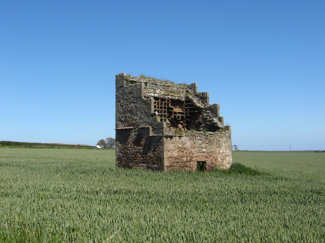
Cardinal Steps
Coastal Feature, Headland, Point in Fife
Scotland
Cardinal Steps
Cardinal Steps is a prominent coastal feature located in Fife, Scotland. It is a headland that extends into the North Sea, forming a distinct point along the coastline. The name "Cardinal Steps" derives from its position as a navigational landmark for ships, historically helping sailors determine their location and direction.
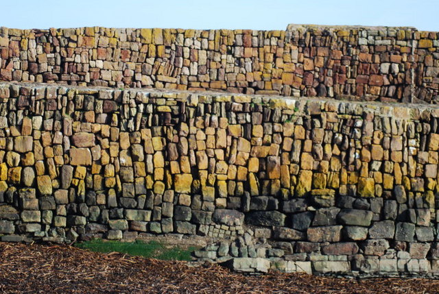
The headland is characterized by its rugged and rocky terrain, with steep cliffs that provide breathtaking views of the surrounding area. These cliffs are composed of sedimentary rocks, primarily sandstone and limestone, which have been shaped by the constant battering of the waves over thousands of years.
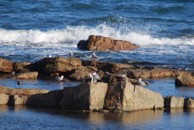
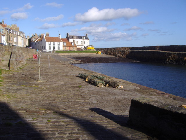
Cardinal Steps is known for its diverse wildlife, as the surrounding coastal waters support a rich ecosystem. Seabirds such as gannets, puffins, and fulmars can often be spotted nesting along the cliffs, while grey seals can be seen swimming in the nearby waters.
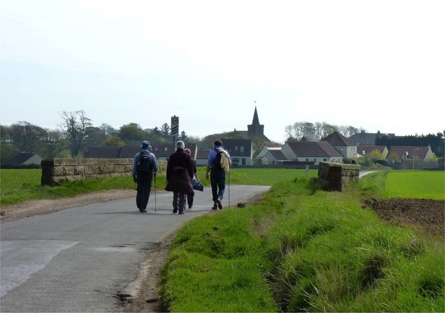
The headland is a popular destination for nature enthusiasts, hikers, and photographers, who are drawn to its scenic beauty and dramatic coastal landscapes. There are several walking trails that lead visitors along the cliffs, offering opportunities to explore the area's natural wonders and observe the wildlife in its natural habitat.
In addition to its natural beauty, Cardinal Steps also holds historical significance. It has witnessed centuries of human activity, including fishing, trade, and even military defense during various conflicts. Remnants of old structures and fortifications can still be found in the area, serving as reminders of its past.
Overall, Cardinal Steps is a captivating coastal feature, combining stunning natural landscapes with a rich history, making it a must-visit location for both locals and tourists alike.
If you have any feedback on the listing, please let us know in the comments section below.
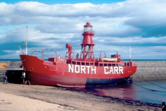
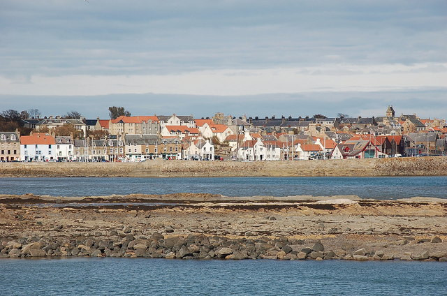
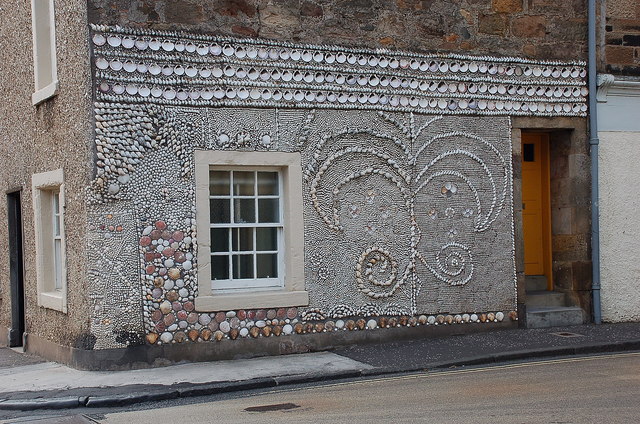
Cardinal Steps Images
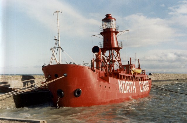
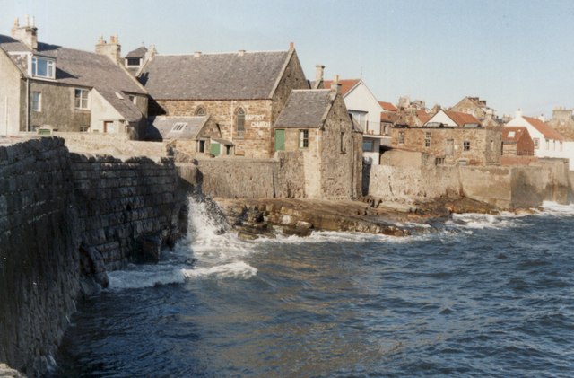
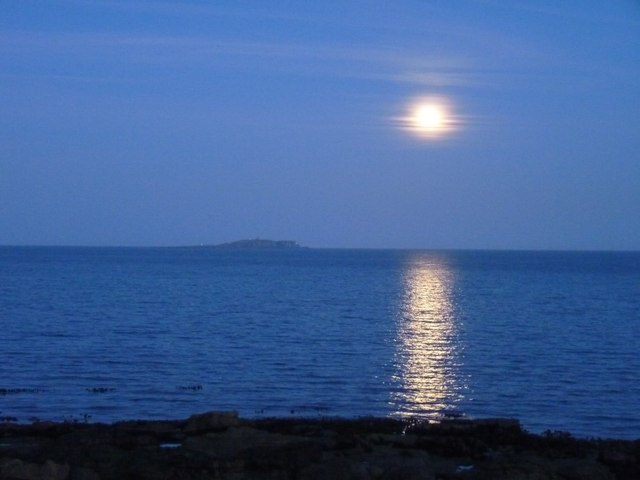
Images are sourced within 2km of 56.226685/-2.6802767 or Grid Reference NO5704. Thanks to Geograph Open Source API. All images are credited.


Cardinal Steps is located at Grid Ref: NO5704 (Lat: 56.226685, Lng: -2.6802767)
Unitary Authority: Fife
Police Authority: Fife
What 3 Words
///pencils.earplugs.habits. Near Anstruther, Fife
Nearby Locations
Related Wikis

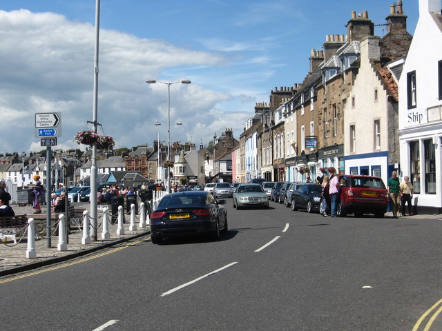
Cellardyke
Cellardyke is a village in the East Neuk of Fife, Scotland. The village is to the immediate east of Anstruther (the two effectively being conjoined) and...

Cellardyke Town Hall
Cellardyke Town Hall is a municipal structure in Tolbooth Wynd, Cellardyke, Fife, Scotland. The building accommodates a local history museum and is also...

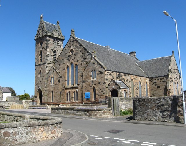
Kilrenny
Kilrenny (Scottish Gaelic: Cill Reithnidh) is a village in Fife, Scotland. Part of the East Neuk, it lies immediately to the north of (but inland and separate...

Kilrenny, Anstruther Easter and Anstruther Wester
Kilrenny, Anstruther Easter and Anstruther Wester was a royal and small burgh in Fife, Scotland from 1930 to 1975.The burgh was formed by the amalgamation...
Nearby Amenities
Located within 500m of 56.226685,-2.6802767Have you been to Cardinal Steps?
Leave your review of Cardinal Steps below (or comments, questions and feedback).