Billow Ness
Coastal Feature, Headland, Point in Fife
Scotland
Billow Ness
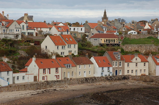
Billow Ness is a prominent coastal feature located in Fife, Scotland. It is classified as a headland or point, characterized by its high cliffs and distinctive shape. The name "Billow" is derived from the Old Norse word "bili," meaning a gap or opening, which accurately describes the geographical layout of the area.
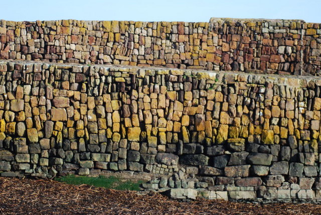
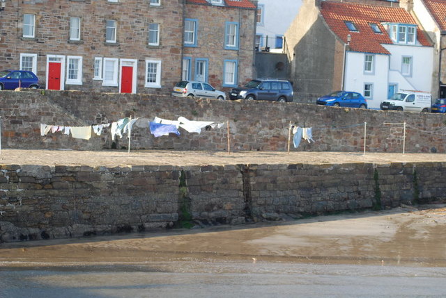
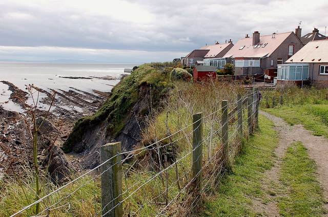
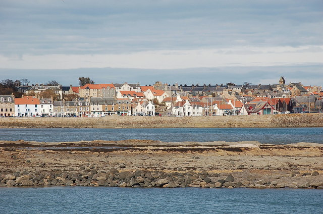
Situated on the eastern coast of Scotland, Billow Ness offers breathtaking views of the North Sea. The headland is composed of rugged limestone cliffs, which rise dramatically from the water, providing a picturesque backdrop against the crashing waves. The coastline surrounding Billow Ness is known for its wild and untamed beauty, attracting both locals and tourists alike.
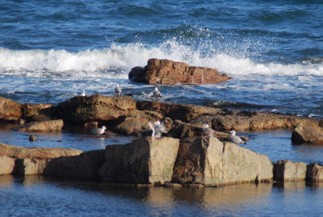
The area is also rich in wildlife, boasting a diverse range of seabirds, such as gannets, puffins, and kittiwakes. Visitors can often spot these magnificent creatures nesting on the cliffs or soaring gracefully above the water. The rocky shores surrounding Billow Ness are home to various marine life, including seals and dolphins, which can be spotted playing in the waves.
Aside from its natural beauty, Billow Ness also holds historical significance. Ruins of an ancient fort, dating back to the Iron Age, can be found atop the headland. These remnants serve as a reminder of the area's rich past and offer a glimpse into the lives of the people who once inhabited the region.
Overall, Billow Ness is a captivating coastal feature, offering stunning views, abundant wildlife, and a glimpse into history. Whether it's for a leisurely stroll, birdwatching, or exploring ancient ruins, this headland is a must-visit destination for nature enthusiasts and history buffs alike.
If you have any feedback on the listing, please let us know in the comments section below.
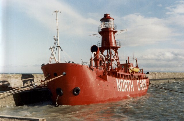
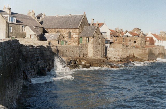
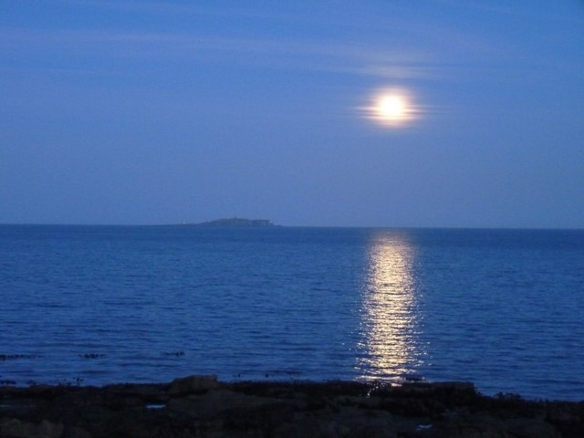
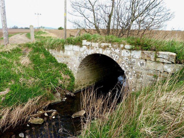
Billow Ness Images
Images are sourced within 2km of 56.215309/-2.7077433 or Grid Reference NO5602. Thanks to Geograph Open Source API. All images are credited.


Billow Ness is located at Grid Ref: NO5602 (Lat: 56.215309, Lng: -2.7077433)
Unitary Authority: Fife
Police Authority: Fife
What 3 Words
///laces.stunt.taxed. Near Anstruther, Fife
Nearby Locations
Related Wikis

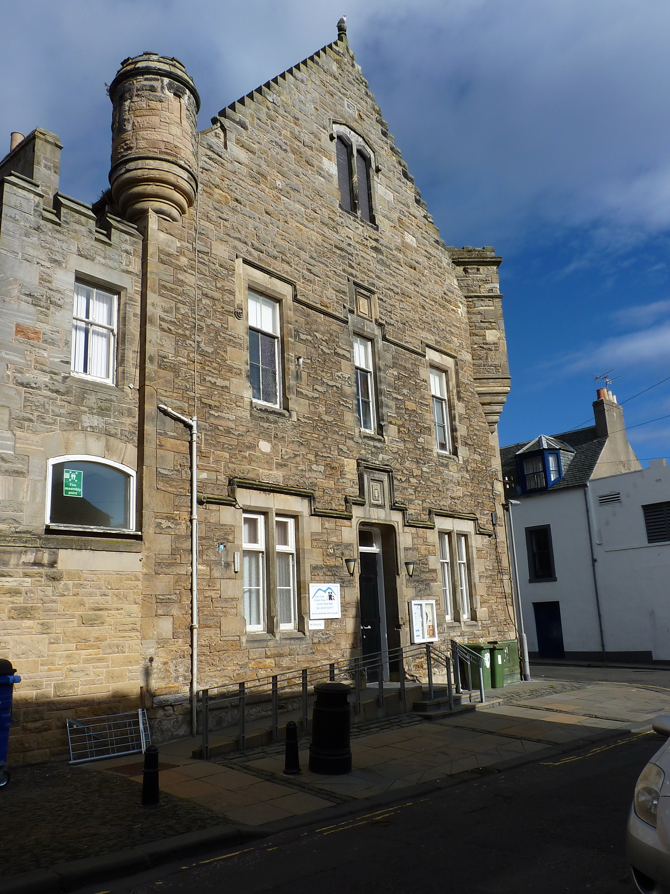
Dreel Halls
Dreel Halls is a municipal complex in Elizabeth Place, Anstruther Wester, Fife, Scotland. The complex, which is used as a community events venue, consists...

Anstruther railway station
Anstruther railway station served the village of Anstruther, Fife, in Scotland. Served by the Leven and East of Fife Railway it was opened in 1863. �...

Anstruther Lifeboat Station
Anstruther Lifeboat Station is a Royal National Lifeboat Institution (RNLI) station located in the town of Anstruther, Fife. The station has been in operation...

Anstruther
Anstruther (Scots: Ainster or Enster ; Scottish Gaelic: Ànsruthair) is a small coastal resort town in Fife, Scotland, situated on the north-shore of...

Anstruther Fish Bar
The Anstruther Fish Bar is a fish and chip shop in Anstruther, a fishing village in the East Neuk of Fife, Scotland. == History == The Bar is situated...

Scottish Fisheries Museum
The Scottish Fisheries Museum is a museum in Anstruther, Fife, that records the history of the Scottish fishing industry and its people from earliest times...
Anstruther Town Hall
Anstruther Town Hall is a municipal building in School Green, Anstruther Easter, Fife, Scotland. The structure, which is used as a community events venue...
Waid Academy
The Waid Academy is a public secondary school in Anstruther, Fife. The school's catchment area extends to as far as Elie and Colinsburgh to the west and...
Nearby Amenities
Located within 500m of 56.215309,-2.7077433Have you been to Billow Ness?
Leave your review of Billow Ness below (or comments, questions and feedback).