Crow Ness

Coastal Feature, Headland, Point in Orkney

Scotland

Crow Ness

Field, Muckle Ocklester A rhombus shaped field with a substantial shed beyond.
Field, Muckle Ocklester Credit: Richard Webb

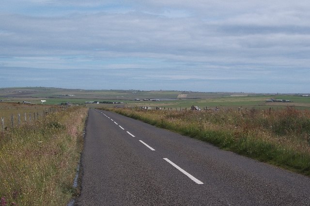
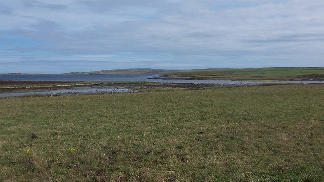
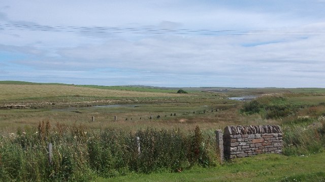
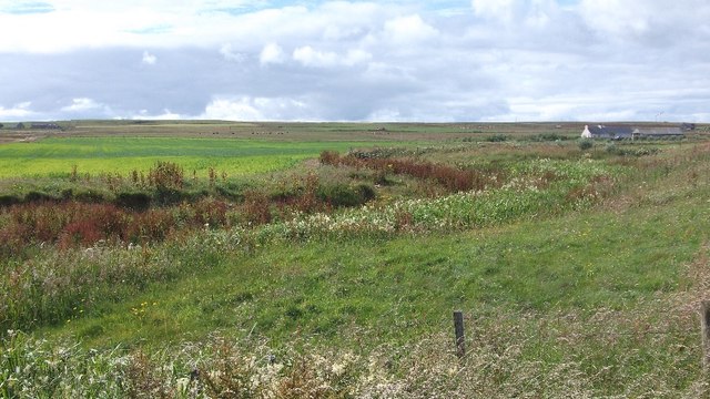
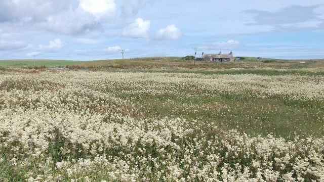
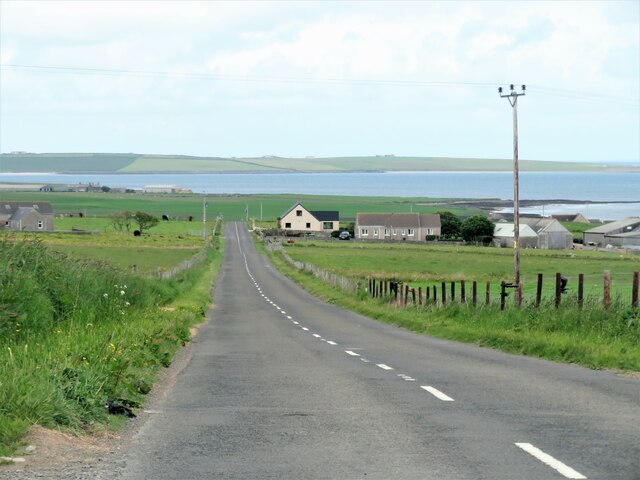
Crow Ness is a prominent coastal feature located on the northeastern coast of the Orkney archipelago in Scotland. Situated near the town of Stromness, this headland juts out into the North Atlantic Ocean, offering stunning views of the surrounding sea and nearby islands.

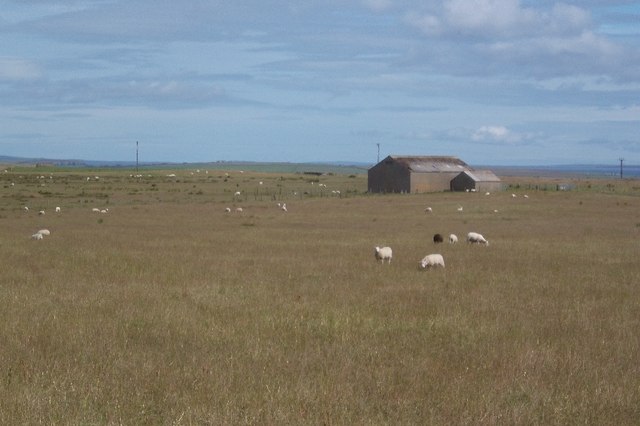
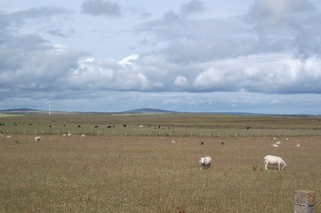
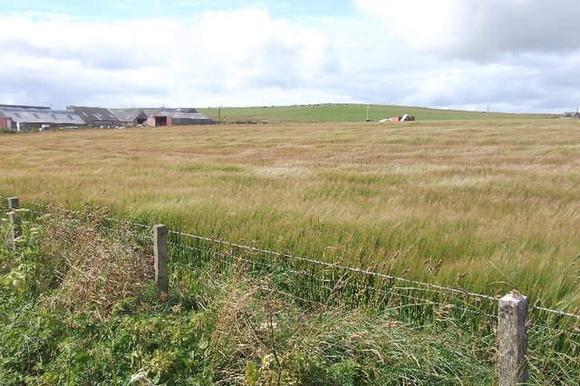
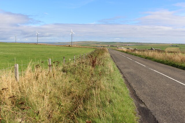
Rising to an elevation of approximately 30 meters, Crow Ness is characterized by its rugged cliffs and rocky terrain. The headland is composed of sandstone and conglomerate, showcasing the geological diversity of the area. The cliffs are adorned with seabird colonies, providing a haven for species such as puffins, guillemots, and razorbills.

A notable feature of Crow Ness is the presence of a lighthouse, which has been guiding ships since its construction in 1925. The lighthouse, with its distinctive white tower and red lantern room, serves as a vital navigational aid for vessels navigating through the treacherous waters around the Orkney Islands.

In addition to its natural and man-made features, Crow Ness boasts a rich cultural history. The headland is believed to have been inhabited since ancient times, with archaeological evidence suggesting human activity dating back to the Neolithic period. The site has yielded numerous artifacts, including stone tools, pottery fragments, and burial sites, providing important insights into the lives of Orkney's early inhabitants.

Today, Crow Ness is a popular destination for tourists and locals alike, attracting visitors with its breathtaking scenery, diverse wildlife, and historical significance. Whether it's exploring the rugged cliffs, observing seabirds, or simply enjoying the panoramic views of the surrounding landscape, Crow Ness offers a captivating experience for all who visit.

If you have any feedback on the listing, please let us know in the comments section below.
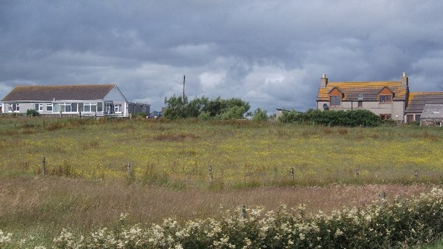
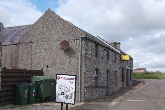
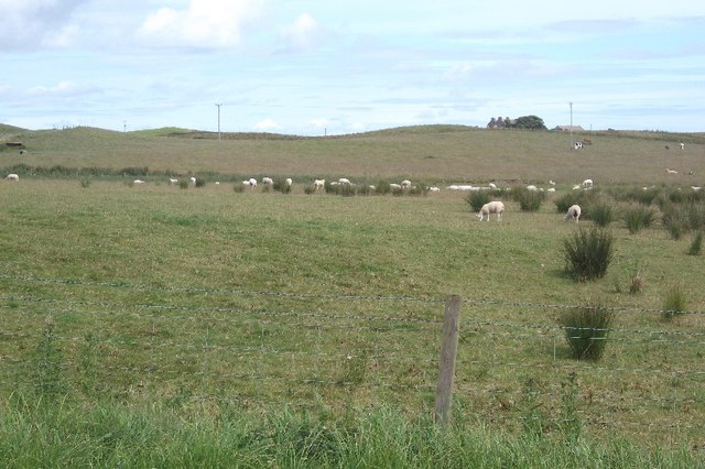
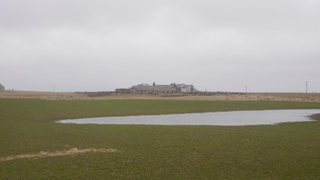
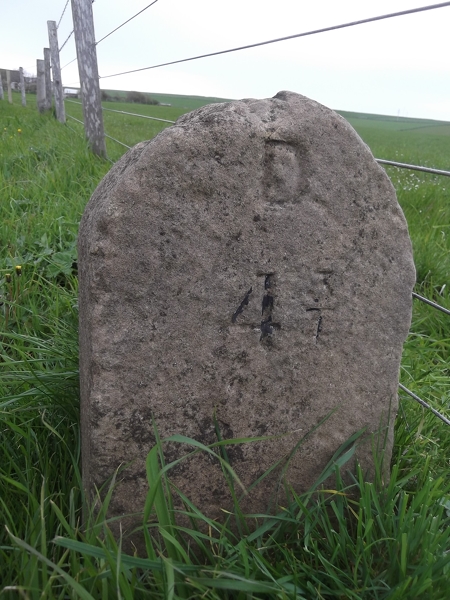
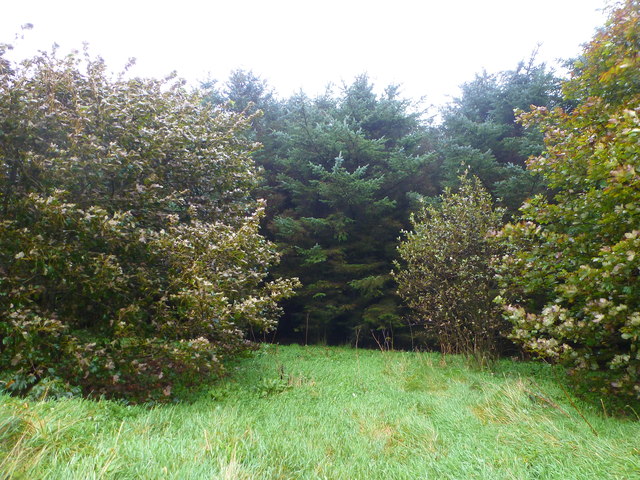
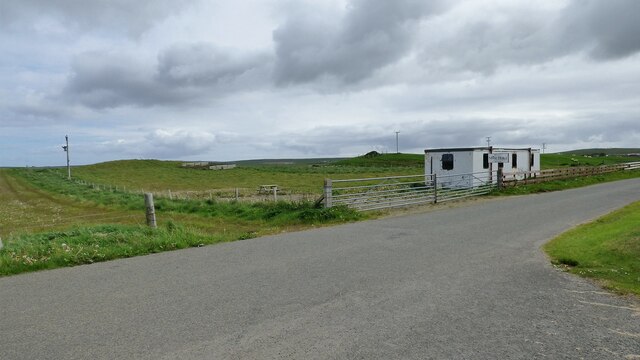
Crow Ness Images

Images are sourced within 2km of 58.925192/-2.8370043 or Grid Reference HY5104. Thanks to Geograph Open Source API. All images are credited.

Field, Muckle Ocklester A rhombus shaped field with a substantial shed beyond.
Field, Muckle Ocklester
A rhombus shaped field with a substantial shed beyond.
Pasture, Ocklester
Pasture, Ocklester
B9052, Ocklester A good quality road crossing Mainland to the east of Kirkwall.
B9052, Ocklester
A good quality road crossing Mainland to the east of Kirkwall.
Barley, Foubister Arable land on the north side of Mainland, near Toab.
Barley, Foubister
Arable land on the north side of Mainland, near Toab.
Toab A field beside Bay of Suckquoy.
Toab
A field beside Bay of Suckquoy.
Estuary, Toab A tidal inlet at the head of Bay of Suckquoy.
Estuary, Toab
A tidal inlet at the head of Bay of Suckquoy.
Horsick Coastal farmland, Toab.
Horsick
Coastal farmland, Toab.
Meadowsweet, Millbrae Vast area of the ever popular fragrant wetland plant.
Meadowsweet, Millbrae
Vast area of the ever popular fragrant wetland plant.
Milldam Orkney hay meadows.
Milldam
Orkney hay meadows.
Quoyburray Inn
Quoyburray Inn
Sheep, Quoyburray A field opposite the pub.
Sheep, Quoyburray
A field opposite the pub.
Flooded field, Hawell Pasture, Tankerness
Flooded field, Hawell
Pasture, Tankerness
Old Milestone by the A960, St Ola, Kirkwall parish Stone post by the A960, in parish of Kirkwall, St Ola (Mainland District), East of bungalow, on verge, on rise, South side of road.

Inscription reads:-
: K / 7 : : D / 4¾ :
(To Kirkwall and Deerness)

Surveyed

Milestone Society National ID: OR_KWDN07
Old Milestone by the A960, St Ola, Kirkwall parish
Stone post by the A960, in parish of Kirkwall, St Ola (Mainland District), East of bungalow, on verge, on rise, South side of road. Inscription reads:- : K / 7 : : D / 4¾ : (To Kirkwall and Deerness) Surveyed Milestone Society National ID: OR_KWDN07
Dark wood Unmanaged conifer woodland in Orkney is rare.  The block of Norway Spruce is protected by a few mature broadleaves, mostly sycamore but with a few rowan.
Within the wood it is dark and generally devoid of undergrowth, except where the light penetrates near the edges.
The road and woodland straddles the old broch of Long Howe and is not very far from the mysterious Mine Howe <span class="nowrap"><a title="http://www.orkneyjar.com/history/minehowe/index.html" rel="nofollow ugc noopener" href="http://www.orkneyjar.com/history/minehowe/index.html">Link</a><img style="margin-left:2px;" alt="External link" title="External link - shift click to open in new window" src="https://s1.geograph.org.uk/img/external.png" width="10" height="10"/></span>
Dark wood
Unmanaged conifer woodland in Orkney is rare. The block of Norway Spruce is protected by a few mature broadleaves, mostly sycamore but with a few rowan. Within the wood it is dark and generally devoid of undergrowth, except where the light penetrates near the edges. The road and woodland straddles the old broch of Long Howe and is not very far from the mysterious Mine Howe LinkExternal link
Mine Howe Iron Age Settlement Once a hive of activity now deserted. <span class="nowrap"><a title="https://canmore.org.uk/site/2998/tankerness-mine-howe" rel="nofollow ugc noopener" href="https://canmore.org.uk/site/2998/tankerness-mine-howe">Link</a><img style="margin-left:2px;" alt="External link" title="External link - shift click to open in new window" src="https://s1.geograph.org.uk/img/external.png" width="10" height="10"/></span>
Mine Howe Iron Age Settlement
Once a hive of activity now deserted. LinkExternal link
Heading downhill at Foubister Looking north east down the hill towards Midbigging with Deer Sound beyond.
Heading downhill at Foubister
Looking north east down the hill towards Midbigging with Deer Sound beyond.
B9052 near Muckle Ocklester
Sebay Mill Former mill converted into holiday apartments.
Sebay Mill
Former mill converted into holiday apartments.
Show me another place!

Crow Ness is located at Grid Ref: HY5104 (Lat: 58.925192, Lng: -2.8370043)

Unitary Authority: Orkney Islands

Police Authority: Highlands and Islands

What 3 Words

///flippers.remains.petulant. Near Tankerness, Orkney Islands

Nearby Locations

Crow Ness

Related Wikis

Mine Howe

Mine Howe is an Iron Age subterranean man-made chamber dug 6 meters (20 feet) deep inside a large mound. It is located in the Tankerness area of Orkney...

Toab, Orkney

Toab is a parish on the Orkney Mainland, situated in the East Mainland. Toab is located off the A960 road at the head of Deer Sound on the Mainland, Orkney...

St Peter's Pool, Orkney

St Peter's Pool is a bay in the East Mainland of Orkney, Scotland. This bay was the site of significant coastal defences during World War II, when a German...

Tankerness

Tankerness is a district in the St Andrews parish in Mainland, Orkney, Scotland. Essentially a peninsula, it is about 13 kilometres (8 mi) south-east of...

Related Videos

Solitude at Dingieshowe

Beach walk at Dingieshowe this afternoon.

Beard tonic at Dingieshowe beach.

While the world is in turmoil I have decided to head out to the beach and get some fresh air. Blowing a hoolie at Dingieshowe.

Shetland ponies on Orkney Island

stopped for a quick look at some Shetland ponies while traveling on Shetland Island.

Nearby Amenities

Located within 500m of 58.925192,-2.8370043
Generator Method: wind_turbine
Generator Source: wind
Generator Type: horizontal_axis
Power: generator
Lat/Long: 58.9211791/-2.8390995
Power: pole
Lat/Long: 58.9218478/-2.836208
Power: pole
Lat/Long: 58.9213936/-2.8362644
Power: pole
Lat/Long: 58.9209409/-2.8355402
Toab
Place: village
Lat/Long: 58.9222494/-2.8311016
Post Box
Ref: KW17 33
Lat/Long: 58.9230217/-2.8299615
Sebay Mill - watermill, overshot, grain mill
Addr City: Sebay, Orkney
Man Made: watermill
Lat/Long: 58.9264791/-2.8431381
Power: pole
Lat/Long: 58.9274347/-2.843411
Power: pole
Lat/Long: 58.9267199/-2.8430541
Power: pole
Lat/Long: 58.9262464/-2.8424559
Power: pole
Lat/Long: 58.9256418/-2.841742
Power: pole
Lat/Long: 58.9250321/-2.8410031
Power: pole
Lat/Long: 58.9243756/-2.8402239
Power: pole
Lat/Long: 58.9238359/-2.8395905
Power: pole
Lat/Long: 58.9232884/-2.838932
Power: pole
Lat/Long: 58.9227408/-2.838286
Power: pole
Lat/Long: 58.9222193/-2.8376727
Power: pole
Lat/Long: 58.9218715/-2.8371072
Power: pole
Lat/Long: 58.9207933/-2.8384242
Power: pole
Lat/Long: 58.9210308/-2.8401761
The data included in this document is from www.openstreetmap.org. The data is made available under ODbL.

Have you been to Crow Ness?

Leave your review of Crow Ness below (or comments, questions and feedback).