Scarra Taing

Coastal Feature, Headland, Point in Orkney

Scotland

Scarra Taing

Ferry approaching the pier in Rapness, Westray
Ferry approaching the pier in Rapness, Westray Credit: stalked

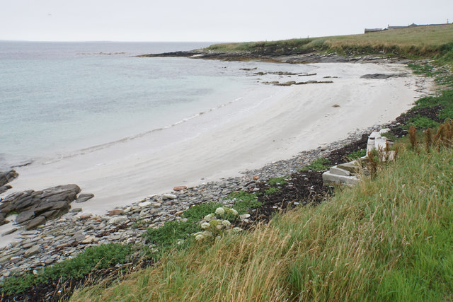
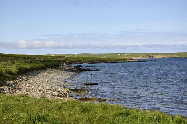
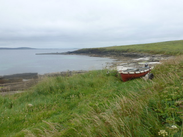
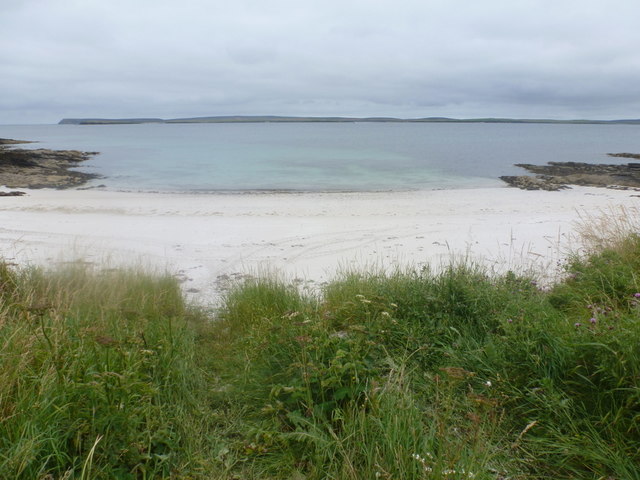
Scarra Taing is a prominent coastal headland located in Orkney, Scotland. It is situated on the northeastern coast of Mainland, the largest island in the Orkney archipelago. With its stunning natural beauty and unique geological formations, Scarra Taing has become a popular tourist destination.

The headland is characterized by its rugged cliffs, which rise dramatically from the sea, creating a stunning backdrop against the Atlantic Ocean. The cliffs are composed mainly of sandstone and are known for their striking red and orange hues, adding to the overall scenic beauty of the area.

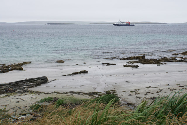
At the top of Scarra Taing, visitors are treated to breathtaking panoramic views of the surrounding landscape. On a clear day, one can see the neighboring islands of Hoy and Rousay, as well as the distant Scottish mainland. The headland is also a fantastic vantage point for observing the diverse marine life that inhabits the waters below, including seals, dolphins, and seabirds.

In addition to its natural beauty, Scarra Taing is also rich in history and archaeology. The headland is home to several ancient structures, including a Neolithic chambered cairn known as the "Tomb of the Eagles." This fascinating archaeological site has yielded an abundance of artifacts and human remains, providing valuable insights into the lives of Orkney's earliest inhabitants.

Whether it be for its stunning coastal vistas, geological wonders, or historical significance, Scarra Taing is undoubtedly a must-visit destination for nature enthusiasts and history buffs alike.

If you have any feedback on the listing, please let us know in the comments section below.
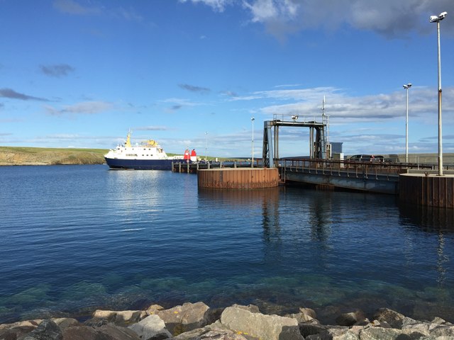
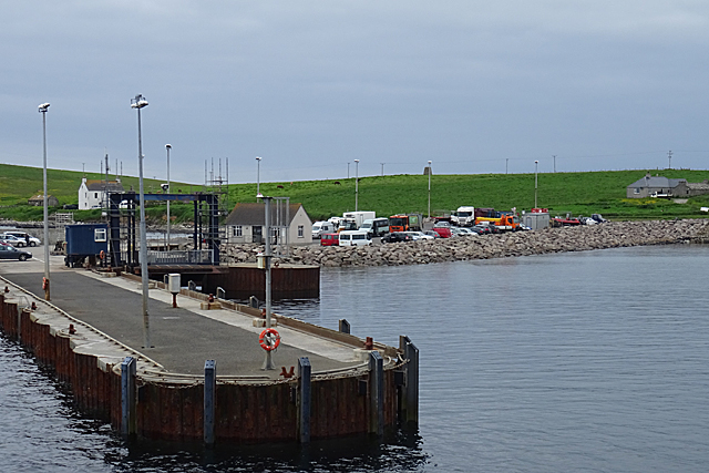
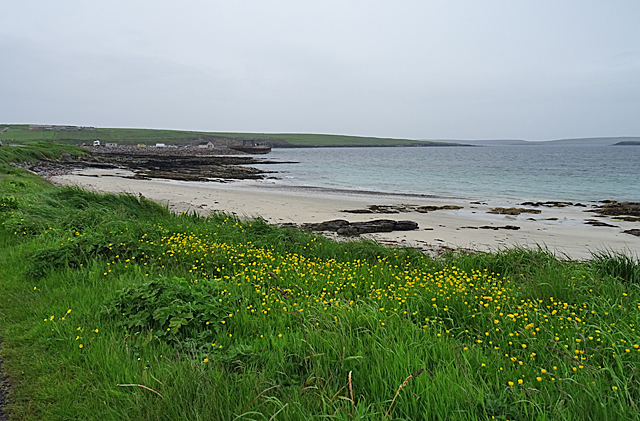
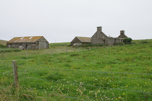
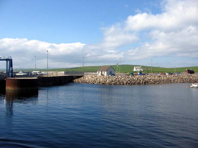
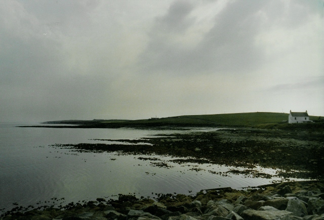
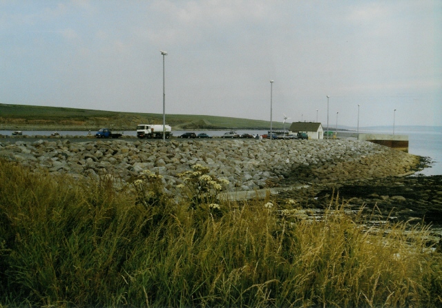
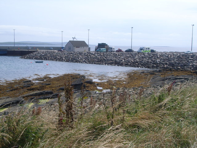
Scarra Taing Images

Images are sourced within 2km of 59.233716/-2.8738718 or Grid Reference HY5038. Thanks to Geograph Open Source API. All images are credited.

Ferry approaching the pier in Rapness, Westray
Rapness Pier This is where the vehicle ferry from Kirkwall lands, at the south end of the island of Westray.
Rapness Pier
This is where the vehicle ferry from Kirkwall lands, at the south end of the island of Westray.
Sands of Helzie Another of the string of little sandy beaches along the south coast of Westray. At the far side of the bay is Rapness Pier, where the vehicle ferry from Kirkwall comes in.
Sands of Helzie
Another of the string of little sandy beaches along the south coast of Westray. At the far side of the bay is Rapness Pier, where the vehicle ferry from Kirkwall comes in.
Helzie Farm The barns are still in use, but the farmhouse is roofless.
Helzie Farm
The barns are still in use, but the farmhouse is roofless.
Sands of Helzie Fine white sand.
Sands of Helzie
Fine white sand.
The Sands of Helzie and a ferry The ferry from Kirkwall is about to arrive at Rapness.
The Sands of Helzie and a ferry
The ferry from Kirkwall is about to arrive at Rapness.
Westray - MV Golden Mariana at Rapness Pier This photograph was taken well before the pier was extended as the main ferry terminal on the island.
Westray - MV Golden Mariana at Rapness Pier
This photograph was taken well before the pier was extended as the main ferry terminal on the island.
Varagen arriving at Westray
Towards Point of Geldibist Near the southern tip of Westray is this small rocky beach looking out on Rapness Sound.
Towards Point of Geldibist
Near the southern tip of Westray is this small rocky beach looking out on Rapness Sound.
Westray: the coast near Ness Looking towards the southern tip of Westray, which is a bit farther round, from the end of the coast road.
Westray: the coast near Ness
Looking towards the southern tip of Westray, which is a bit farther round, from the end of the coast road.
Westray: short sandy beach near Ness Looking across a tiny sandy inlet on the road to Ness. Eday is the island spread out in the background.
Westray: short sandy beach near Ness
Looking across a tiny sandy inlet on the road to Ness. Eday is the island spread out in the background.
Ferry at Whale Geo pier, Westray This is the Earl Thorfinn, docking before returning to Kirkwall.
Ferry at Whale Geo pier, Westray
This is the Earl Thorfinn, docking before returning to Kirkwall.
Arriving at Rapness, Westray
Coastline at Rapness The white house is (from memory) Whitelet
Coastline at Rapness
The white house is (from memory) Whitelet
Ferry terminal at Whale Geo Viewed from the road to Ness (i.e from the south-west) - the harbour is on the other side.
Ferry terminal at Whale Geo
Viewed from the road to Ness (i.e from the south-west) - the harbour is on the other side.
Car ferry at Rapness, Westray This was a nice smooth 90 minute crossing from Kirkwall.
Car ferry at Rapness, Westray
This was a nice smooth 90 minute crossing from Kirkwall.
Whale Geo Pier, Rapness
Toilets and waiting room at Whale Geo Pier, Rapness
Show me another place!

Scarra Taing is located at Grid Ref: HY5038 (Lat: 59.233716, Lng: -2.8738718)

Unitary Authority: Orkney Islands

Police Authority: Highlands and Islands

What 3 Words

///cuff.gobblers.freedom. Near Backaland, Orkney Islands

Nearby Locations

Less Hamar Scarra Taing

Related Wikis

Holm of Faray

The Holm of Faray is a small island in Orkney, Scotland, near Faray and Westray, which it lies between. Together with its neighbour Faray, it is designated...

Rapness

Rapness is a settlement on the island of Westray in Orkney, Scotland. The slipway is the ferry terminal for the Orkney Ferries crossing from Kirkwall on...

Rusk Holm

Rusk Holm is a small island in the Orkney Islands, near Faray to the west. == History == There is a prehistoric cairn on it . Rusk Holm is also home to...

Faray

Faray (Old Norse: Færey) is a small island in Orkney, Scotland, lying between Eday and Westray. Previously inhabited, the low-lying island is now a successful...

Nearby Amenities

Located within 500m of 59.233716,-2.8738718
Power: pole
Lat/Long: 59.2361565/-2.8780076
Power: pole
Lat/Long: 59.2366792/-2.8775811
Power: pole
Lat/Long: 59.2371827/-2.8771493
Power: pole
Lat/Long: 59.2376464/-2.8767577
Burnt Mounds (Prehistoric site of)
Historic: archaeological_site
Lat/Long: 59.2367253/-2.8785379
The data included in this document is from www.openstreetmap.org. The data is made available under ODbL.

Have you been to Scarra Taing?

Leave your review of Scarra Taing below (or comments, questions and feedback).