Cliff End

Coastal Feature, Headland, Point in Dorset

England

Cliff End

Coast path looking west towards Hive Beach, Burton Bradstock
Coast path looking west towards Hive Beach, Burton Bradstock Credit: Colin Park

Cliff End is a prominent headland located in Dorset, a county on the southern coast of England. Situated along the Jurassic Coast, a UNESCO World Heritage Site, Cliff End is a captivating coastal feature known for its stunning natural beauty and rich geological significance.

Standing tall above the English Channel, Cliff End offers breathtaking panoramic views of the surrounding area. Its rugged cliffs, composed mainly of Jurassic limestone and shale, showcase layers of ancient rock formations, providing a glimpse into millions of years of Earth's history. The headland's exposed cliffs also serve as a haven for fossil hunters, as they contain a wealth of well-preserved marine fossils, including ammonites and belemnites.

The dramatic landscape of Cliff End is further enhanced by its diverse flora and fauna. The headland is home to a variety of coastal plants, such as sea kale and thrift, which thrive in the harsh coastal environment. Birdwatchers flock to the area to spot a wide range of seabirds, including gulls, cormorants, and fulmars, that nest on the cliffs.

In addition to its natural beauty, Cliff End also holds cultural significance. Atop the headland, visitors can find the ruins of an old coastal defense fort, a relic from the Napoleonic era. The fort offers a glimpse into the region's military history and provides an ideal vantage point to appreciate the stunning coastal scenery.

Overall, Cliff End in Dorset is a captivating headland that combines natural beauty, geological importance, and historical significance. Whether it be exploring its fossil-rich cliffs, admiring its breathtaking views, or delving into its cultural past, this coastal feature offers a memorable experience for visitors of all interests.

If you have any feedback on the listing, please let us know in the comments section below.
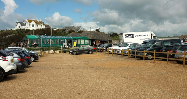
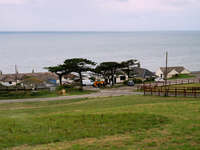
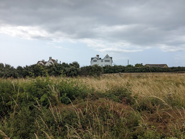
Cliff End Images

Images are sourced within 2km of 50.692435/-2.7114728 or Grid Reference SY4988. Thanks to Geograph Open Source API. All images are credited.

Coast path looking west towards Hive Beach, Burton Bradstock
On the coast path heading west at Burton Cliff near Burton Bradstock
Looking inland towards Burton Bradstock from Burton Cliff
Hive Beach car park With the cafe in the background and houses on the cliff behind.
Hive Beach car park
With the cafe in the background and houses on the cliff behind.
Field and houses near Hive Beach Really taken for the cloudscape. A substantial shower was threatened in the forecast, but persistent cloud cover was the problem as we headed east.
Field and houses near Hive Beach
Really taken for the cloudscape. A substantial shower was threatened in the forecast, but persistent cloud cover was the problem as we headed east.
Old Coastguard Holiday Park, Burton Bradstock Holiday Park near Hive Beach.
Old Coastguard Holiday Park, Burton Bradstock
Holiday Park near Hive Beach.
Shadrach, Burton Bradstock Burton Bradstock is a village in south west Dorset. Situated behind Chesil Beach and the River Bride, 3 miles east of Bridport. The village nestles around the church of St. Mary the Virgin with thatched cottages punctuating the unspoilt centre which has a primary school, shop, post office stores, beach café, two pubs, hotel, garage, village hall, reading room and library.
The village has a frequent local bus service to Bridport via West Bay.
Website: <span class="nowrap"><a title="http://www.burtonbradstock.org.uk/" rel="nofollow ugc noopener" href="http://www.burtonbradstock.org.uk/">Link</a><img style="margin-left:2px;" alt="External link" title="External link - shift click to open in new window" src="https://s1.geograph.org.uk/img/external.png" width="10" height="10"/></span>
Shadrach, Burton Bradstock
Burton Bradstock is a village in south west Dorset. Situated behind Chesil Beach and the River Bride, 3 miles east of Bridport. The village nestles around the church of St. Mary the Virgin with thatched cottages punctuating the unspoilt centre which has a primary school, shop, post office stores, beach café, two pubs, hotel, garage, village hall, reading room and library. The village has a frequent local bus service to Bridport via West Bay. Website: LinkExternal link
Burton Bradstock, Shadrach/Shadrack The OS map shows this road as "Shadrach", but the road name on the plate attached to the wall behind the blue car says "Shadrack".
Burton Bradstock, Shadrach/Shadrack
The OS map shows this road as "Shadrach", but the road name on the plate attached to the wall behind the blue car says "Shadrack".
St. Mary the Virgin, Burton Bradstock, Dorset
St. Mary the Virgin, Burton Bradstock, Dorset North-Eastern aspect
St. Mary the Virgin, Burton Bradstock, Dorset
North-Eastern aspect
St. Mary the Virgin, Burton Bradstock, Dorset 14th Century Font
St. Mary the Virgin, Burton Bradstock, Dorset
14th Century Font
Field on the Hardy Way
Houses on the skyline
South West Coast Path towards Hive Beach
The Anchor Inn
The Anchor Inn
Hive Beach
Hive Beach
St Mary's Church, Burton Bradstock
Show me another place!

Cliff End is located at Grid Ref: SY4988 (Lat: 50.692435, Lng: -2.7114728)

Unitary Authority: Dorset

Police Authority: Dorset

What 3 Words

///goodbye.trending.sublime. Near Bridport, Dorset

Related Wikis

Burton Bradstock

Burton Bradstock is a village and civil parish in Dorset, England, approximately 2+1⁄2 miles (4 km) southeast of Bridport and 1⁄2 mile (0.8 km) inland...

River Bride, Dorset

The River Bride is a river in Dorset, England, situated between the towns of Dorchester and Bridport. It is approximately 6.5 miles (10.5 km) long and...

Swyre

Swyre ( ) is a small village and civil parish in southwest Dorset, England, situated in a valley beside Chesil Beach 6 miles (9.7 km) southeast of Bridport...

Holy Trinity Church, Swyre

Holy Trinity Church is a Church of England church in Swyre, Dorset, England. The oldest part of the church has been dated to the early 15th century, with...

Nearby Amenities

Located within 500m of 50.692435,-2.7114728
Cliff End
Place: locality
Lat/Long: 50.6917164/-2.7085431
Bench
Lat/Long: 50.6942717/-2.7158345
Bench
Lat/Long: 50.6949925/-2.7170194
Bus Stop
Cogden Beach
Bus: yes
Naptan AtcoCode: 1200DOA25665
Naptan Bearing: E
Naptan CommonName: Cogden Beach
Naptan Indicator: E-bound
Naptan NaptanCode: dordmtwm
Naptan Street: B3157
Naptan Verified: no
Operator: First
Public Transport: platform
Shelter: no
Lat/Long: 50.6949812/-2.7062742
Post Box
Post Box Type: lamp
Ref: DT6 71
Ref GB Uprn: 10015408292
Royal Cypher: EIIR
Royal Cypher Wikidata: Q33102113
Lat/Long: 50.6958783/-2.7140468
Leisure: picnic_table
Lat/Long: 50.6941199/-2.7055741
Leisure: picnic_table
Lat/Long: 50.6941163/-2.7056775
Bench
Lat/Long: 50.6941365/-2.7054553
Information: board
Tourism: information
Lat/Long: 50.6941041/-2.7054735
Bus Stop
Cogden Beach
Bus: yes
Naptan AtcoCode: 1200DOA25666
Naptan Bearing: W
Naptan CommonName: Cogden Beach
Naptan Indicator: W-bound
Naptan NaptanCode: dordmtwp
Naptan Street: B3157
Naptan Verified: no
Public Transport: platform
Lat/Long: 50.6948978/-2.7061807
The data included in this document is from www.openstreetmap.org. The data is made available under ODbL.

Have you been to Cliff End?

Leave your review of Cliff End below (or comments, questions and feedback).