Round Craig
Coastal Feature, Headland, Point in Banffshire
Scotland
Round Craig
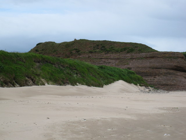
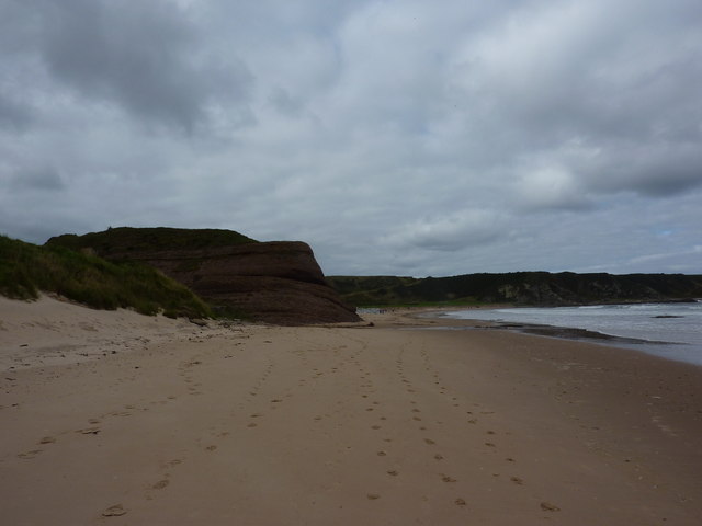
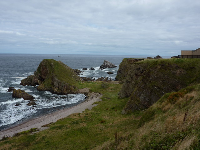
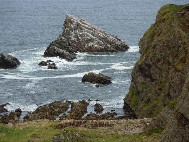
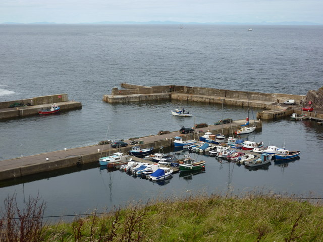
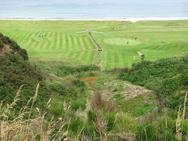
Round Craig is a prominent coastal feature located in Banffshire, Scotland. As a headland or point, it juts out into the North Sea, offering breathtaking panoramic views of the surrounding landscape. This natural formation is characterized by its unique shape, resembling a rounded cove with steep cliffs on either side. The coastal cliffs are composed of rugged rock formations, showcasing the geological history of the area.
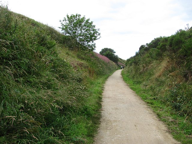
The headland is situated on the eastern coast of Banffshire, approximately 2 miles north of the town of Portsoy. It can be accessed via a well-maintained footpath that winds its way along the coastline, providing visitors with an immersive outdoor experience. The path is lined with wildflowers and grasses, creating a picturesque setting.
Round Craig is a popular destination for nature enthusiasts, hikers, and photographers due to its scenic beauty and diverse wildlife. The surrounding waters are teeming with marine life, including seals, dolphins, and various seabirds, making it a prime spot for wildlife observation.
The headland also holds historical significance, with remnants of ancient settlements and structures dotting the landscape. These archaeological sites provide glimpses into the lives of early inhabitants, adding an element of intrigue to the area.
Overall, Round Craig in Banffshire is a captivating coastal feature that offers both natural beauty and historical interest. Its stunning views, diverse wildlife, and rich cultural heritage make it a must-visit destination for anyone exploring the Scottish coastline.
If you have any feedback on the listing, please let us know in the comments section below.
Round Craig Images
Images are sourced within 2km of 57.69523/-2.8433986 or Grid Reference NJ4967. Thanks to Geograph Open Source API. All images are credited.
Round Craig is located at Grid Ref: NJ4967 (Lat: 57.69523, Lng: -2.8433986)
Unitary Authority: Moray
Police Authority: North East
What 3 Words
///audio.deeply.crumb. Near Portknockie, Moray
Nearby Locations
Related Wikis
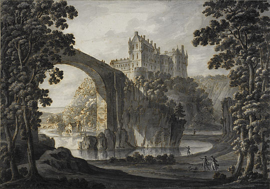
Cullen Castle
Cullen Castle was a royal castle about 0.5 miles (0.80 km) west of Cullen, Moray, Scotland, west of the burn of Deskford, and south of Seatown. The remains...

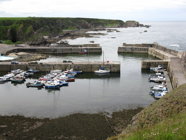
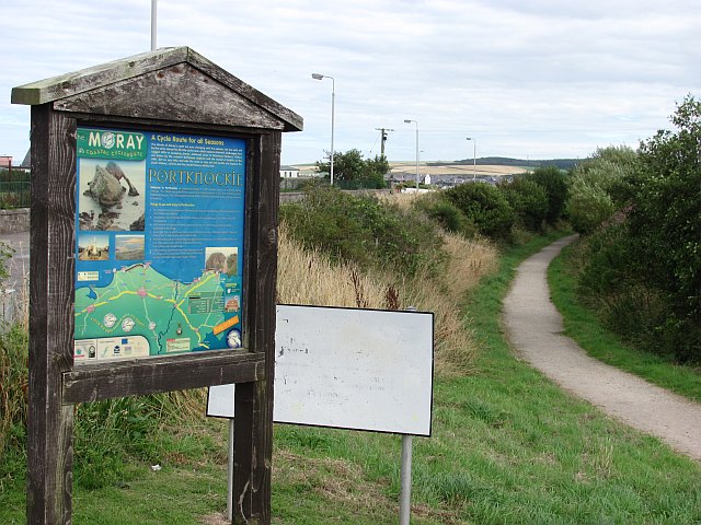
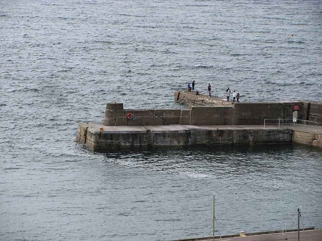
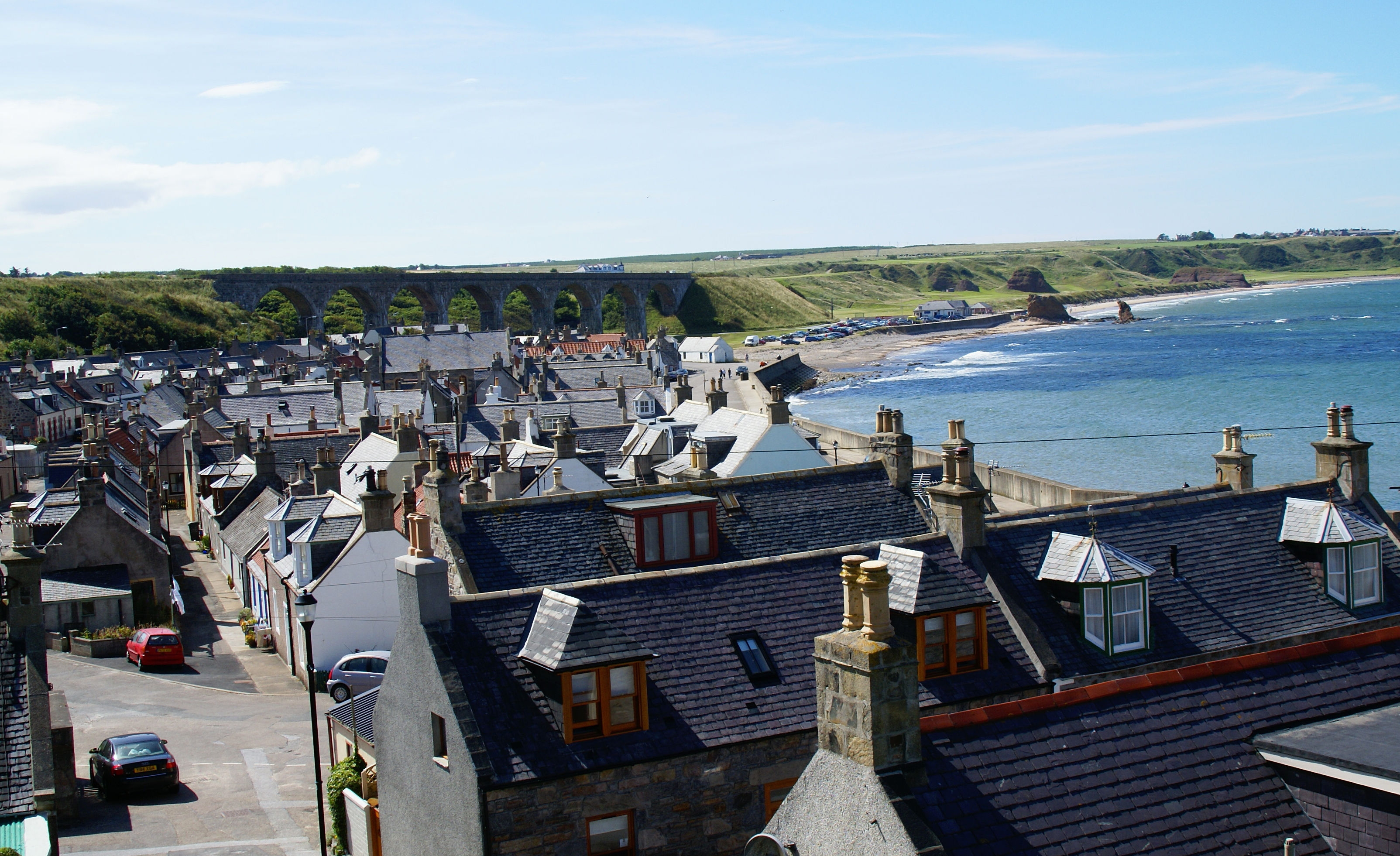
Portknockie
Portknockie (Scottish Gaelic: Port Chnocaidh, the hilly port) is a coastal village on the Moray Firth within Moray, Scotland. The village's name is written...

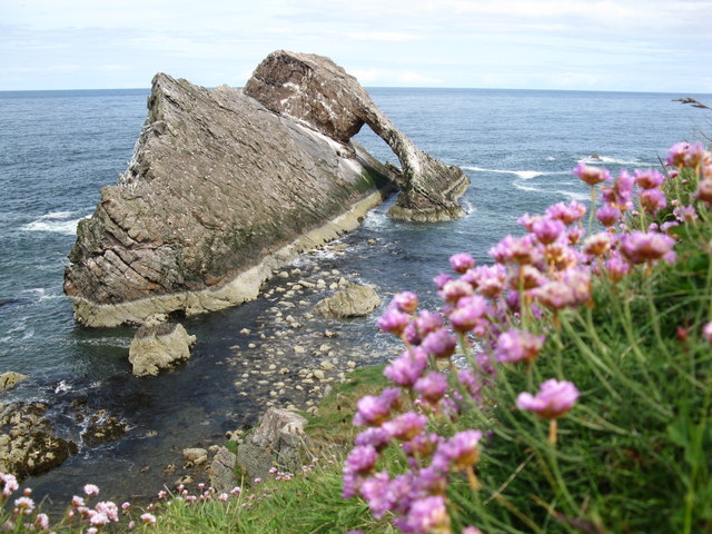
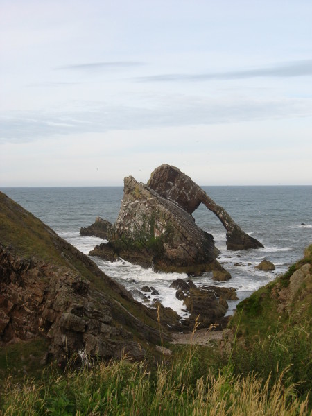
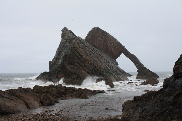
Bow Fiddle Rock
Bow Fiddle Rock is a natural sea arch near Portknockie on the north-eastern coast of Scotland. It is so called because it resembles the tip of a fiddle...

Portknockie railway station
Portknockie railway station was a railway station that served the small fishing village of Portknockie, close to Cullen in Moray. The railway station was...
Cullen, Moray
Cullen (Scottish Gaelic: Inbhir Cuilinn) is a village and former royal burgh in Moray but historically in Banffshire, Scotland, on the North Sea coast...
Green Castle, Portknockie
Green Castle is a naturally defended rocky outcrop in the village of Portknockie in Moray, Scotland, that was occupied successively by small promontory...
Cullen Old Church
Cullen Old Church (also known as Cullen Auld Kirk) is the parish church for Cullen and Deskford, in Moray. It was originally a part of the Roman Catholic...

Cullen Town Hall
Cullen Town Hall is a municipal building in The Square, Cullen, Moray, Scotland. The structure, which is currently used as a heritage centre, is a Category...
Nearby Amenities
Located within 500m of 57.69523,-2.8433986Have you been to Round Craig?
Leave your review of Round Craig below (or comments, questions and feedback).