Ramni Geo
Coastal Feature, Headland, Point in Orkney
Scotland
Ramni Geo
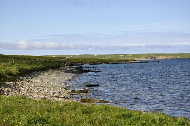
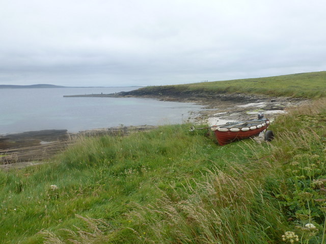
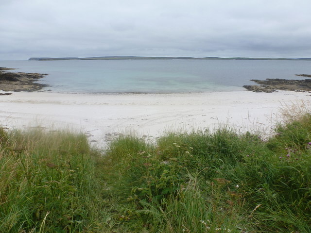
Ramni Geo is a prominent coastal feature located in Orkney, a group of islands off the northeastern coast of Scotland. It is specifically classified as a headland or point, jutting out into the North Sea. The headland is situated on the eastern coast of the Orkney Mainland, approximately 15 kilometers south of the town of Kirkwall.
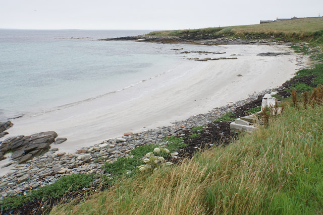
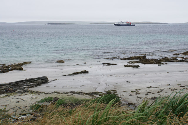
Ramni Geo is characterized by its rugged and dramatic cliffs, which rise up to impressive heights above the sea. The cliffs are composed of layers of sedimentary rocks, showcasing the geological history of the area. The headland offers stunning panoramic views of the surrounding coastline, with its picturesque combination of rocky shores, sandy beaches, and rolling hills.
The area around Ramni Geo is known for its diverse wildlife, attracting birdwatchers and nature enthusiasts. The cliffs provide nesting sites for various seabirds, including puffins, guillemots, and fulmars. Visitors can often spot these birds soaring above the sea or perched on the cliff edges. The surrounding waters are also home to seals and occasionally whales, adding to the natural beauty of the location.
Ramni Geo is easily accessible by road, with a nearby car park and footpath leading to the headland. The site is popular among hikers and photographers, who are drawn to its natural splendor and the opportunity to capture breathtaking coastal views. With its unique geological features and abundant wildlife, Ramni Geo is a must-visit destination for those exploring the coastal wonders of Orkney.
If you have any feedback on the listing, please let us know in the comments section below.
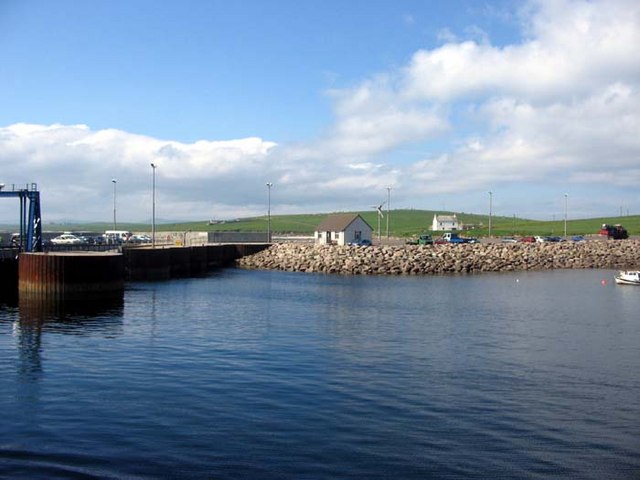
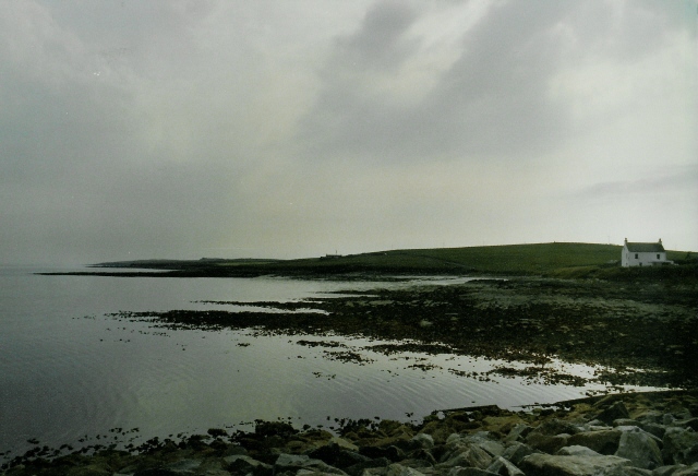
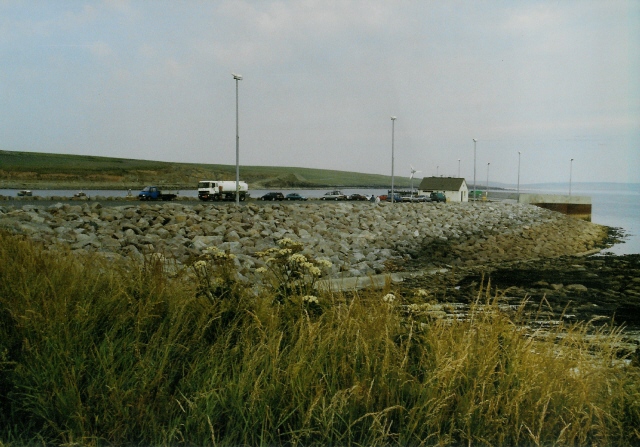
Ramni Geo Images
Images are sourced within 2km of 59.238065/-2.8841314 or Grid Reference HY4939. Thanks to Geograph Open Source API. All images are credited.


Ramni Geo is located at Grid Ref: HY4939 (Lat: 59.238065, Lng: -2.8841314)
Unitary Authority: Orkney Islands
Police Authority: Highlands and Islands
What 3 Words
///gashes.fussy.trudges. Near Pierowall, Orkney Islands
Nearby Locations
Related Wikis

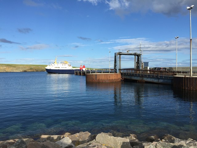
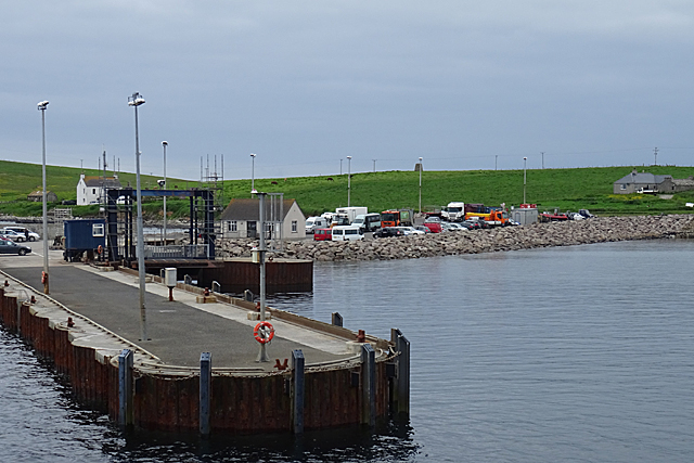
Rapness
Rapness is a settlement on the island of Westray in Orkney, Scotland. The slipway is the ferry terminal for the Orkney Ferries crossing from Kirkwall on...

Holm of Faray
The Holm of Faray is a small island in Orkney, Scotland, near Faray and Westray, which it lies between. Together with its neighbour Faray, it is designated...

Rusk Holm
Rusk Holm is a small island in the Orkney Islands, near Faray to the west. == History == There is a prehistoric cairn on it . Rusk Holm is also home to...

Faray
Faray (Old Norse: Færey) is a small island in Orkney, Scotland, lying between Eday and Westray. Previously inhabited, the low-lying island is now a successful...
Nearby Amenities
Located within 500m of 59.238065,-2.8841314Have you been to Ramni Geo?
Leave your review of Ramni Geo below (or comments, questions and feedback).