Noust of Stye

Coastal Feature, Headland, Point in Orkney

Scotland

Noust of Stye

Aerogenerator on Shapinsay Taken from the Shetland-Orkney ferry at dusk. Exact position to be ascertained.
Aerogenerator on Shapinsay Credit: Mike Pennington

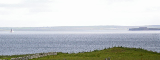
Noust of Stye is a prominent coastal feature located on the island of Orkney, Scotland. It is a headland that juts out into the North Sea, forming a distinctive point along the rugged coastline. The name "Noust of Stye" is derived from the Old Norse word "noust," meaning a boat landing place, and "stye," meaning a path or track. This suggests that it may have served as a significant landing spot for boats in the past.

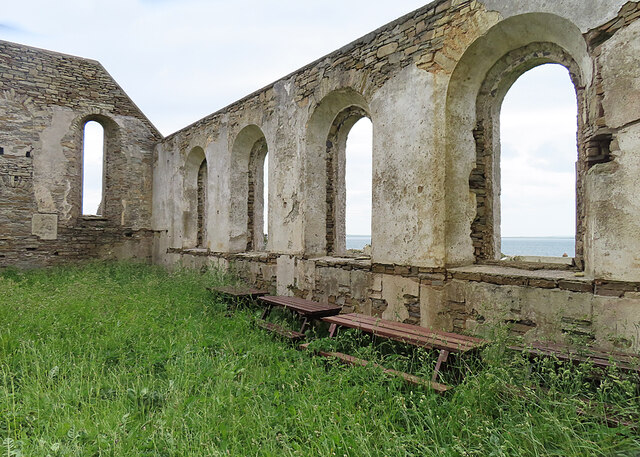
The headland is characterized by its steep cliffs, which rise dramatically from the sea. These cliffs are composed of sedimentary rock formations, displaying layers of sandstone and shale that have been shaped by erosion over centuries. The exposed rock faces are often weathered and worn, adding to the picturesque beauty of the landscape.

Noust of Stye offers breathtaking panoramic views of the surrounding coastline and sea. From this vantage point, visitors can admire the vast expanse of the North Sea, observe seabirds soaring above the waves, and witness the power of the crashing surf below.

The headland is accessible via a footpath that leads from a nearby village, providing hikers and nature enthusiasts with the opportunity to explore this remarkable coastal feature. It is recommended to exercise caution when traversing the path, as the terrain can be rugged and uneven.

Noust of Stye is not only a scenic attraction but also an important site for wildlife conservation. The cliffs provide nesting grounds for various seabirds, including kittiwakes, fulmars, and guillemots. These avian species rely on the inaccessible ledges and crevices of the headland to breed and raise their young.

Overall, Noust of Stye is a stunning headland that showcases the rugged beauty of Orkney's coastline. Its geological features, stunning views, and ecological significance make it a must-visit destination for nature enthusiasts and those seeking to immerse themselves in the natural wonders of the region.

If you have any feedback on the listing, please let us know in the comments section below.

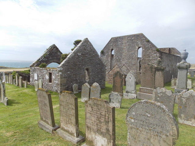
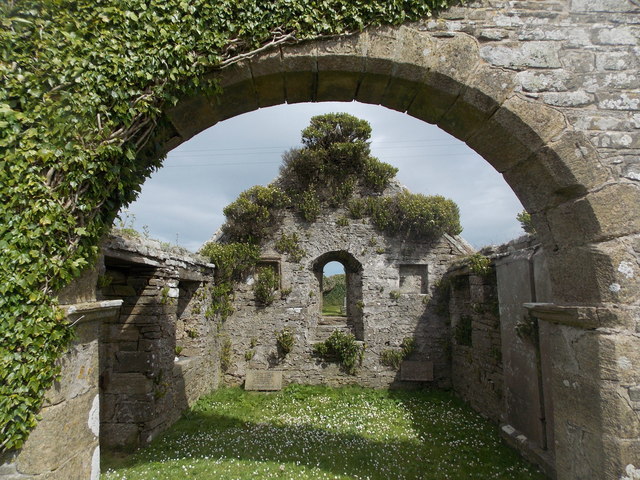
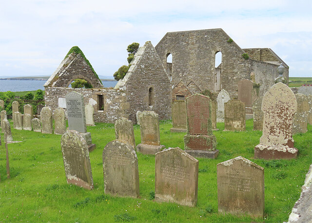
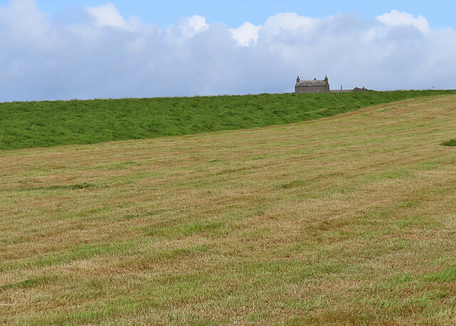
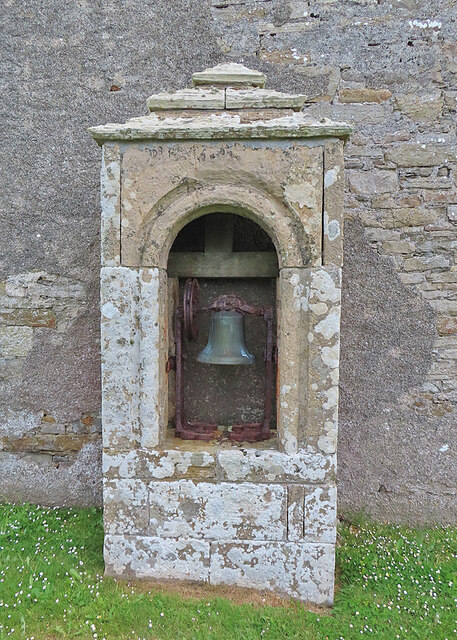
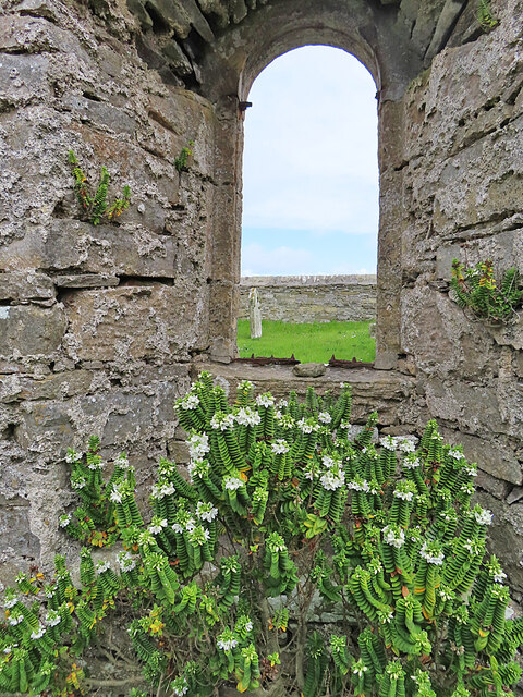
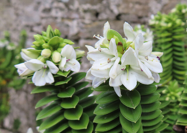
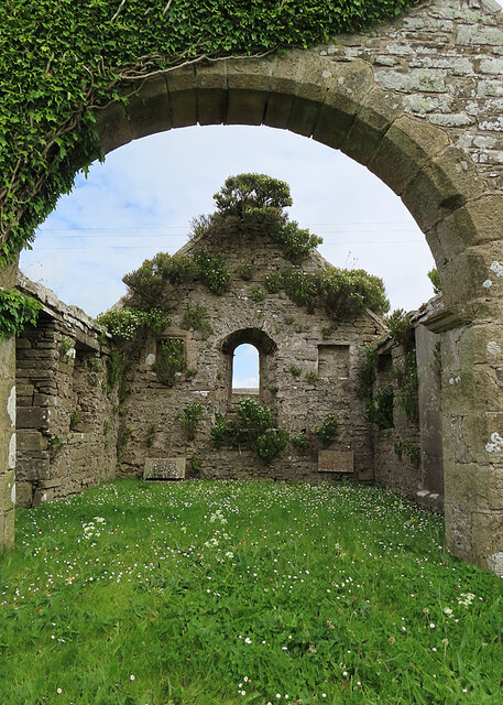
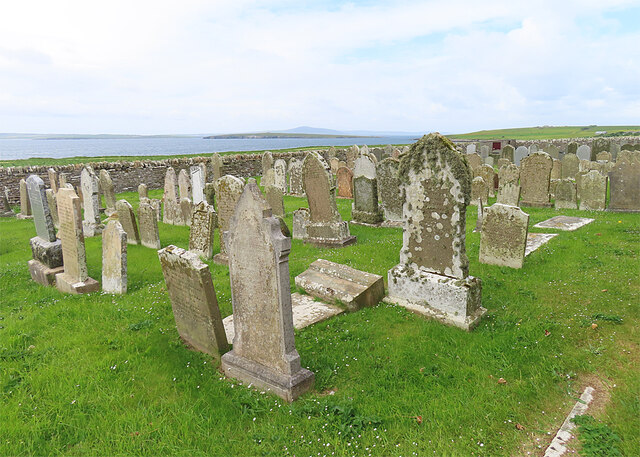
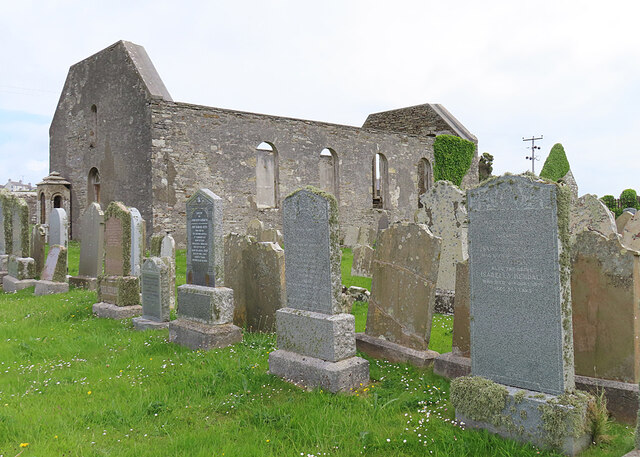
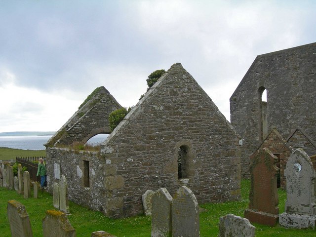
Noust of Stye Images

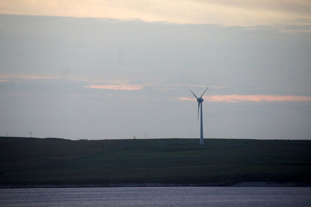
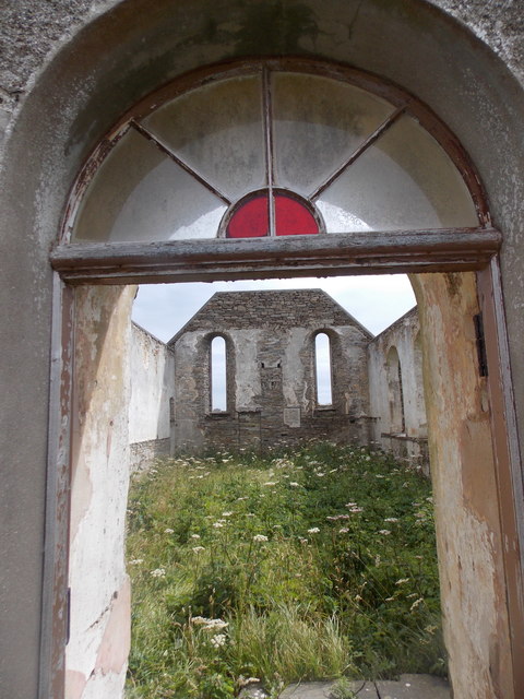
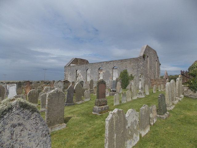
Images are sourced within 2km of 59.033236/-2.896829 or Grid Reference HY4816. Thanks to Geograph Open Source API. All images are credited.

Aerogenerator on Shapinsay Taken from the Shetland-Orkney ferry at dusk. Exact position to be ascertained.
Aerogenerator on Shapinsay
Taken from the Shetland-Orkney ferry at dusk. Exact position to be ascertained.
Shapinsay: South Church The ruined church has an unusually positioned bell, in the little enclosure ahead of us, which makes me think that it was originally a small tower.
Shapinsay: South Church
The ruined church has an unusually positioned bell, in the little enclosure ahead of us, which makes me think that it was originally a small tower.
Shapinsay: inside the South Church A sad sight, it is clearly many years since <a href="https://www.geograph.org.uk/photo/4714432">HY5016 : Shapinsay: South Church</a> last hosted a congregation.
Shapinsay: inside the South Church
A sad sight, it is clearly many years since HY5016 : Shapinsay: South Church last hosted a congregation.
Shapinsay: the South Church from the southeast Another view of <a href="https://www.geograph.org.uk/photo/4714432">HY5016 : Shapinsay: South Church</a>. The picture was cunningly taken in the briefest of moments when a child, the son of a man mowing the grass, was hidden behind one of the gravestones.
Shapinsay: the South Church from the southeast
Another view of HY5016 : Shapinsay: South Church. The picture was cunningly taken in the briefest of moments when a child, the son of a man mowing the grass, was hidden behind one of the gravestones.
Shapinsay: old toilet (?) at South Church Situated in a small brick/stone compound at the east end of <a href="https://www.geograph.org.uk/photo/4714432">HY5016 : Shapinsay: South Church</a>, the thing on the wall is clearly a cistern but below it seems to be some kind of small furnace - definitely not something to go on!
Shapinsay: old toilet (?) at South Church
Situated in a small brick/stone compound at the east end of HY5016 : Shapinsay: South Church, the thing on the wall is clearly a cistern but below it seems to be some kind of small furnace - definitely not something to go on!
Shapinsay: the South Church from the east This view of <a href="https://www.geograph.org.uk/photo/4714432">HY5016 : Shapinsay: South Church</a> takes in the Balfour family's burial compound, a separate building on the east side of the churchyard.
Shapinsay: the South Church from the east
This view of HY5016 : Shapinsay: South Church takes in the Balfour family's burial compound, a separate building on the east side of the churchyard.
Shapinsay: the Balfour burial compound Looking rather like a little ruined church itself, the Balfours' burial place is this building in the churchyard of the South Church - see <a href="https://www.geograph.org.uk/photo/4714441">HY5016 : Shapinsay: the South Church from the east</a>.
Shapinsay: the Balfour burial compound
Looking rather like a little ruined church itself, the Balfours' burial place is this building in the churchyard of the South Church - see HY5016 : Shapinsay: the South Church from the east.
South Kirk Both the kirk, built in 1822, and the Balfour Burial Aisle on the left, are Category B Listed. See <span class="nowrap"><a title="https://portal.historicenvironment.scot/designation/LB18612" rel="nofollow ugc noopener" href="https://portal.historicenvironment.scot/designation/LB18612">Link</a><img style="margin-left:2px;" alt="External link" title="External link - shift click to open in new window" src="https://s1.geograph.org.uk/img/external.png" width="10" height="10"/></span> and <span class="nowrap"><a title="https://portal.historicenvironment.scot/designation/LB18613" rel="nofollow ugc noopener" href="https://portal.historicenvironment.scot/designation/LB18613">Link</a><img style="margin-left:2px;" alt="External link" title="External link - shift click to open in new window" src="https://s1.geograph.org.uk/img/external.png" width="10" height="10"/></span> for information.
South Kirk
Both the kirk, built in 1822, and the Balfour Burial Aisle on the left, are Category B Listed. See LinkExternal link and LinkExternal link for information.
Hamar The isolated house stands above fields being harvested for hay.
Hamar
The isolated house stands above fields being harvested for hay.
Ground-level Belfry Outside the ruins of South Church.
Ground-level Belfry
Outside the ruins of South Church.
South Kirk Inside the kirk are several picnic benches.
South Kirk
Inside the kirk are several picnic benches.
Window of the Balfour Aisle The north-facing window of <span class="nowrap"><a title="https://portal.historicenvironment.scot/designation/LB18613" rel="nofollow ugc noopener" href="https://portal.historicenvironment.scot/designation/LB18613">Link</a><img style="margin-left:2px;" alt="External link" title="External link - shift click to open in new window" src="https://s1.geograph.org.uk/img/external.png" width="10" height="10"/></span>.
Window of the Balfour Aisle
The north-facing window of LinkExternal link.
Hebe? This plant, whatever it is, has colonised the walls of the ruined Balfour burial Aisle.
Hebe?
This plant, whatever it is, has colonised the walls of the ruined Balfour burial Aisle.
Balfour Burial Aisle The Aisle is dated 1656 but was adopted as the family burial place of the Balfours about 1800.
Balfour Burial Aisle
The Aisle is dated 1656 but was adopted as the family burial place of the Balfours about 1800.
South Kirkyard The graveyard lies beside the now disused South Kirk.
South Kirkyard
The graveyard lies beside the now disused South Kirk.
South Kirk and Kirkyard The kirk was built in 1822.
South Kirk and Kirkyard
The kirk was built in 1822.
Shapinsay Graveyard, Orkney Islands The roofless building in the centre of the image is the crypt of the Balfour family, foremost pioneering family of the island.  This is the eastern portion of the cemetery.
Shapinsay Graveyard, Orkney Islands
The roofless building in the centre of the image is the crypt of the Balfour family, foremost pioneering family of the island. This is the eastern portion of the cemetery.
Grassy coastal terrace near Hilton The island of Helliar Holm is in the background, image right.
Grassy coastal terrace near Hilton
The island of Helliar Holm is in the background, image right.
Show me another place!

Noust of Stye is located at Grid Ref: HY4816 (Lat: 59.033236, Lng: -2.896829)

Unitary Authority: Orkney Islands

Police Authority: Highlands and Islands

What 3 Words

///monks.ordeals.bundles. Near Balfour, Orkney Islands

Related Wikis

Balfour, Orkney

Balfour is a village on the island of Shapinsay, Orkney. The village is situated on Elwick Bay, which was used as an anchorage by Haakon IV of Norway before...

Mill Dam

Mill Dam is a wetland in western Shapinsay, in Orkney, Scotland. This water body was not shown on the 1840 survey map of the island, since it is a man...

Balfour Castle

Balfour Castle is a historic building on the southwest of Shapinsay, Orkney Islands. Though built around an older structure that dates at least from the...

Helliar Holm

Helliar Holm is an uninhabited island off the coast of Shapinsay in the Orkney Islands, Scotland. It is home to a 42-foot-tall (13 m) lighthouse, which...

Nearby Amenities

Located within 500m of 59.033236,-2.896829
Noexit: yes
Lat/Long: 59.0359151/-2.8935616
Historic: memorial
Memorial: war_memorial
Lat/Long: 59.0357238/-2.8934648
Generator Method: wind_turbine
Generator Output Electricity: yes
Generator Source: wind
Generator Type: horizontal_axis
Power: generator
Lat/Long: 59.0338398/-2.8931755
Power: pole
Lat/Long: 59.0342814/-2.8890368
Power: pole
Lat/Long: 59.0337349/-2.8892863
Power: pole
Lat/Long: 59.0334313/-2.8901124
Power: pole
Lat/Long: 59.0331553/-2.8909144
Power: pole
Lat/Long: 59.0351978/-2.90454
Power: pole
Lat/Long: 59.0355152/-2.9040653
Power: pole
Lat/Long: 59.0359595/-2.903333
Power: pole
Lat/Long: 59.0360175/-2.9028797
Power: pole
Lat/Long: 59.0360396/-2.9012114
Power: pole
Lat/Long: 59.0361072/-2.9028046
Power: pole
Lat/Long: 59.0360147/-2.9001331
Power: pole
Lat/Long: 59.0359761/-2.8988886
Power: pole
Lat/Long: 59.0359761/-2.8980839
Power: pole
Lat/Long: 59.0348845/-2.8887874
Power: pole
Lat/Long: 59.0350294/-2.8901151
Power: pole
Lat/Long: 59.0351743/-2.8914401
Power: pole
Lat/Long: 59.0353068/-2.8926846
Power: pole
Lat/Long: 59.0354641/-2.8938729
Power: pole
Lat/Long: 59.0356201/-2.8952596
Power: pole
Lat/Long: 59.0357663/-2.8965846
Power: pole
Lat/Long: 59.037305/-2.894935
Power: pole
Lat/Long: 59.0368634/-2.8959274
Power: pole
Lat/Long: 59.0363818/-2.897003
Generator Method: photovoltaic
Generator Output Electricity: yes
Generator Source: solar
Generator Type: solar_photovoltaic_panel
Location: roof
Power: generator
Lat/Long: 59.0366247/-2.9020456
Generator Method: photovoltaic
Generator Output Electricity: yes
Generator Source: solar
Generator Type: solar_photovoltaic_panel
Location: roof
Power: generator
Lat/Long: 59.0362273/-2.9017773
Generator Method: photovoltaic
Generator Output Electricity: yes
Generator Source: solar
Generator Type: solar_photovoltaic_panel
Location: roof
Power: generator
Lat/Long: 59.0362231/-2.9019114
Generator Method: photovoltaic
Generator Output Electricity: yes
Generator Source: solar
Generator Type: solar_photovoltaic_panel
Location: roof
Power: generator
Lat/Long: 59.0362397/-2.9020536
Generator Method: photovoltaic
Generator Output Electricity: yes
Generator Source: solar
Generator Type: solar_photovoltaic_panel
Location: roof
Power: generator
Lat/Long: 59.0362369/-2.902177
Generator Method: photovoltaic
Generator Output Electricity: yes
Generator Source: solar
Generator Type: solar_photovoltaic_panel
Location: roof
Power: generator
Lat/Long: 59.0362383/-2.902303
Generator Method: photovoltaic
Generator Output Electricity: yes
Generator Source: solar
Generator Type: solar_photovoltaic_panel
Location: roof
Power: generator
Lat/Long: 59.0362397/-2.9024506
Parking
Lat/Long: 59.0358497/-2.8900237
Grain Mill (19th Century)
Place: locality
Lat/Long: 59.0362292/-2.8984875
The data included in this document is from www.openstreetmap.org. The data is made available under ODbL.

Have you been to Noust of Stye?

Leave your review of Noust of Stye below (or comments, questions and feedback).