Point of Crook
Coastal Feature, Headland, Point in Orkney
Scotland
Point of Crook

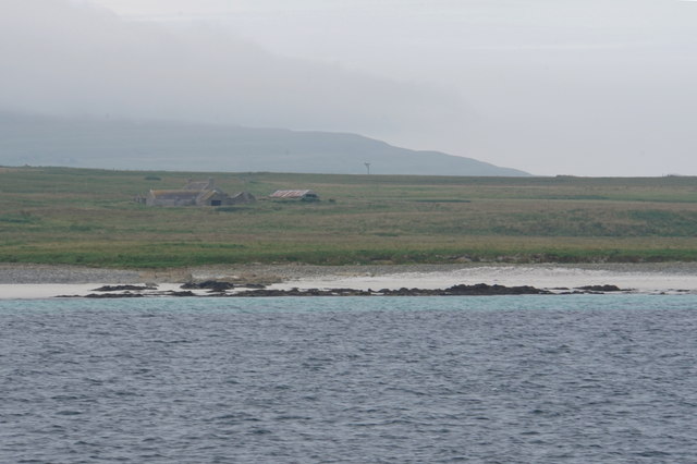
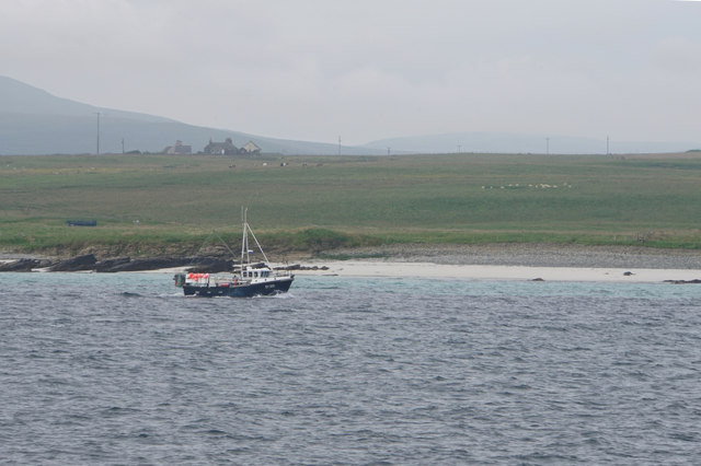
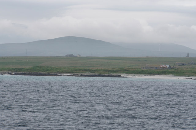
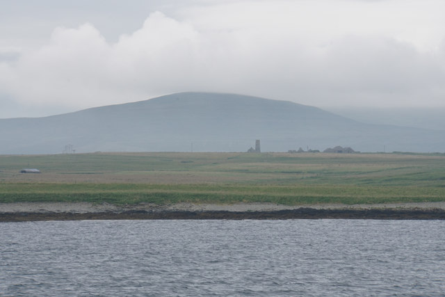
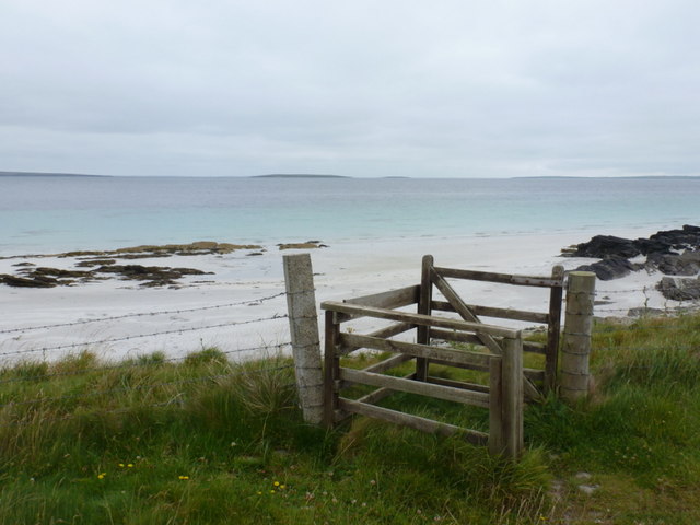
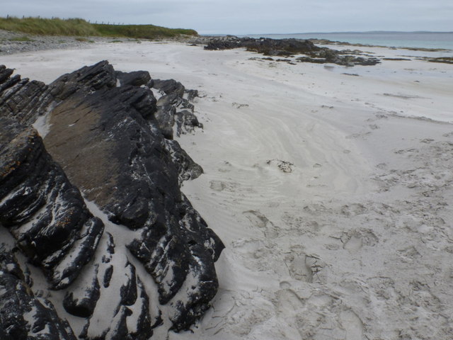
Point of Crook is a prominent coastal feature located on the island of Orkney in Scotland. Situated on the northeastern coast, it is a headland that juts out into the North Sea, offering stunning views of the surrounding landscape. The point is characterized by its rugged cliffs, which rise majestically from the sea, providing a habitat for a variety of seabirds and other wildlife.
The geology of Point of Crook is predominantly composed of sandstone and shale, which have been shaped by years of erosion from the relentless waves. This erosion has created intricate rock formations and caves, adding to the allure and uniqueness of the area. The cliffs also display a range of vibrant colors, with hues of red, orange, and yellow, providing a visually striking contrast against the deep blue of the sea.
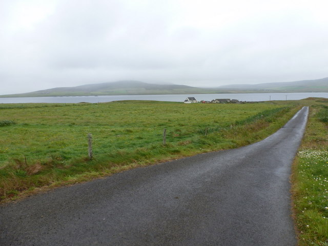
The headland is a popular destination for nature enthusiasts and hikers, who are drawn to its natural beauty and tranquility. The surrounding area is dotted with walking trails, allowing visitors to explore the coastal landscape and discover hidden coves and secluded beaches. The panoramic views from Point of Crook are particularly breathtaking, offering glimpses of neighboring islands and vast stretches of the North Sea.
Aside from its natural attractions, Point of Crook also holds historical significance. The remains of an ancient broch, an Iron Age defensive structure, can be found nearby, providing a glimpse into the island's rich past. Overall, Point of Crook is a captivating coastal feature that showcases the rugged beauty and diverse ecosystems of Orkney.
If you have any feedback on the listing, please let us know in the comments section below.
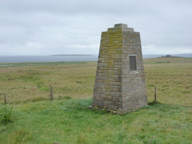
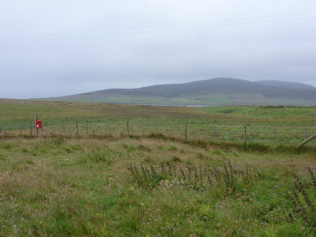
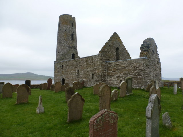
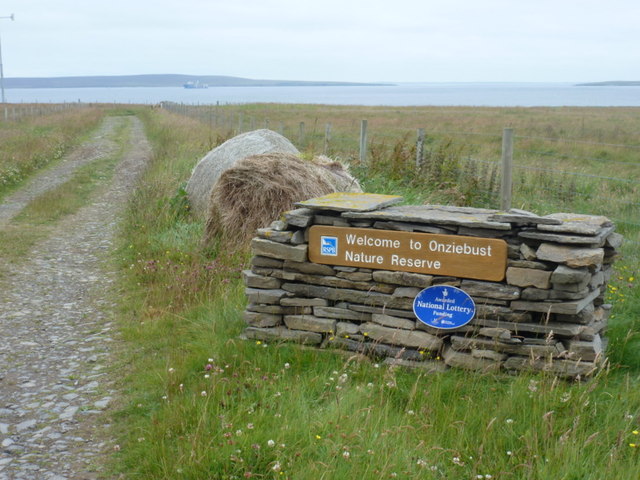
Point of Crook Images
Images are sourced within 2km of 59.161337/-2.9071757 or Grid Reference HY4830. Thanks to Geograph Open Source API. All images are credited.
Point of Crook is located at Grid Ref: HY4830 (Lat: 59.161337, Lng: -2.9071757)
Unitary Authority: Orkney Islands
Police Authority: Highlands and Islands
What 3 Words
///bandstand.cookery.chairing. Near Brinian, Orkney Islands
Nearby Locations
Related Wikis

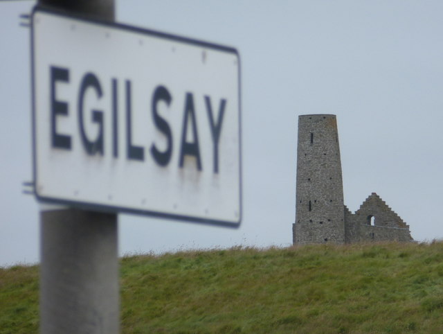
Egilsay
Egilsay (, Scots: Egilsay) is one of the Orkney Islands in Scotland, lying east of Rousay. The island is largely farmland and is known for its corncrakes...

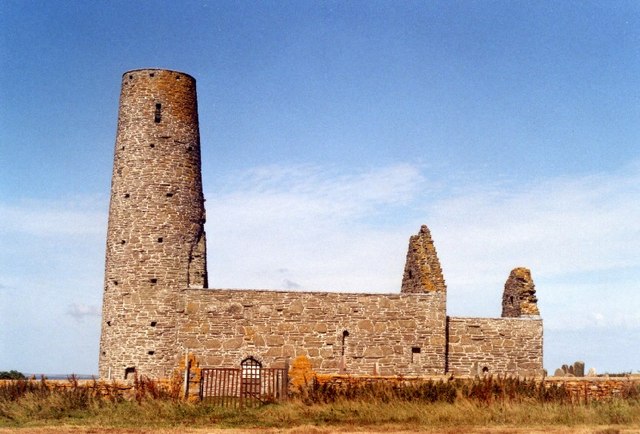
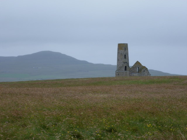
St Magnus Church, Egilsay
St Magnus's Church is a ruined medieval church located on the island of Egilsay, in Orkney, Scotland. The site is recognized as the place of execution...

Kili Holm
Kili Holm is a tidal island in the Orkney Islands, linked to Egilsay. Unusually, like its neighbour Egilsay, it may have a partly Gaelic etymology, in...

Holm of Scockness
The Holm of Scockness is a small island in the Orkney Islands, between Rousay and Egilsay. It is currently used for grazing. Its name is Norse in origin...
Nearby Amenities
Located within 500m of 59.161337,-2.9071757Have you been to Point of Crook?
Leave your review of Point of Crook below (or comments, questions and feedback).