Brough Geo
Coastal Feature, Headland, Point in Orkney
Scotland
Brough Geo

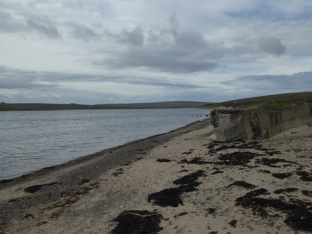
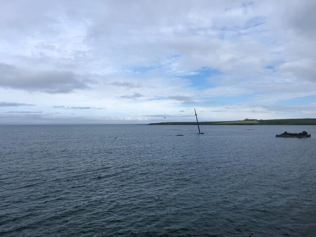
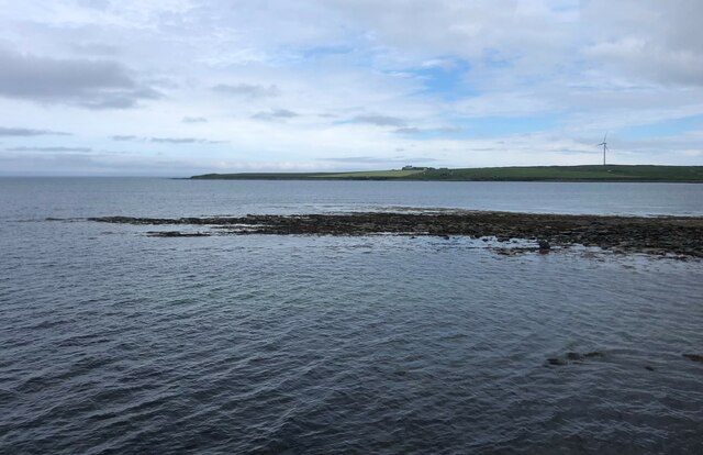
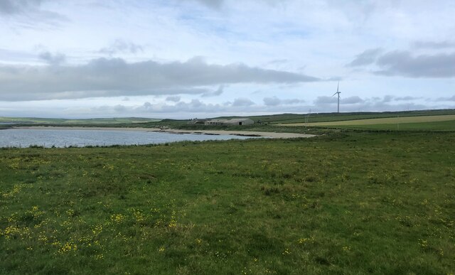
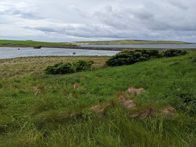
Brough Geo is a prominent coastal feature located in the Orkney Islands, which are situated in the northern part of Scotland. It is specifically found on the island of Westray, the sixth largest island in the Orkney archipelago. Brough Geo is a headland, jutting out into the North Sea, forming a distinct point along the island's coastline.
This coastal feature is characterized by its rugged and dramatic cliffs, which rise up to 50 meters (164 feet) above sea level. The cliffs are composed of layers of sandstone and conglomerate rock, showcasing the geologic history of the area. Over the years, the relentless waves and weathering have sculpted the cliffs, creating caves, arches, and natural rock formations that add to the area's charm.
Brough Geo is also home to a diverse range of seabird colonies, including guillemots, razorbills, and puffins, which nest on the cliffs during the breeding season. These bird colonies are protected and provide a unique opportunity for birdwatching enthusiasts to observe these fascinating creatures in their natural habitat.
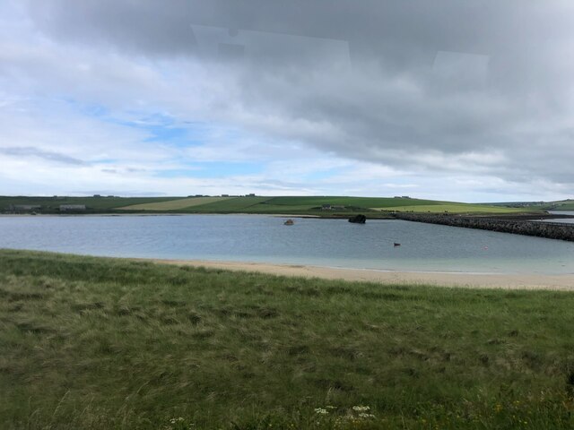
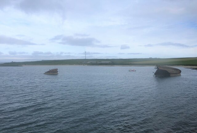
The area around Brough Geo is a popular destination for outdoor activities such as coastal walks, hiking, and photography. Visitors can enjoy breathtaking panoramic views of the North Sea, the surrounding islands, and the stunning coastal landscape. The site is easily accessible by foot and is often included as part of the Westray Coastal Walk, a scenic route that takes in many of the island's natural wonders.
Overall, Brough Geo is a captivating coastal feature that showcases the beauty and natural diversity of the Orkney Islands. Its striking cliffs, abundant wildlife, and picturesque surroundings make it a must-visit destination for nature lovers and outdoor enthusiasts.
If you have any feedback on the listing, please let us know in the comments section below.
Brough Geo Images
Images are sourced within 2km of 58.873473/-2.9008412 or Grid Reference ND4898. Thanks to Geograph Open Source API. All images are credited.


Brough Geo is located at Grid Ref: ND4898 (Lat: 58.873473, Lng: -2.9008412)
Unitary Authority: Orkney Islands
Police Authority: Highlands and Islands
What 3 Words
///inspected.travel.youths. Near Holm, Orkney Islands
Nearby Locations
Related Wikis

A961 road
The A961 is a single-carriageway road on the eastern side of Scapa Flow in the Orkney Islands, connecting the town of Kirkwall on the Orkney Mainland to...

Glimps Holm
Glimps Holm or Glims Holm (Old Norse: Glums Holm) is a small uninhabited islet in Orkney, Scotland. == Geography == Glimps Holm lies in Holm Sound, one...

Lamb Holm
Lamb Holm is a small uninhabited island in Orkney, Scotland. The Italian Chapel, constructed during the Second World War, is the island's main attraction...

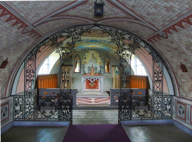
Italian Chapel
The Italian Chapel is a highly ornate Catholic chapel on Lamb Holm in the Orkney Islands. It was built during World War II by Italian prisoners of war...
Orkney F.C.
Orkney Football Club is a senior association football club from the Orkney Islands, Scotland. The club was founded in 2012 and competes in the North Caledonian...

St Mary's, Orkney
St Mary's (also known as St. Mary's Holm) is a small village in the parish of Holm on Mainland, Orkney, Scotland. It was originally a fishing port.Orkney...
Broch of Ayre
Broch of Ayre, also known as St. Mary's Broch, is an Iron Age broch in Orkney, Scotland. == Location == Broch of Ayre is found on the northern shore of...
Burray
Burray () is one of the Orkney Islands in Scotland. It lies to the east of Scapa Flow and is one of a chain of islands linked by the Churchill Barriers...
Nearby Amenities
Located within 500m of 58.873473,-2.9008412Have you been to Brough Geo?
Leave your review of Brough Geo below (or comments, questions and feedback).