South Geo of Canquoy
Coastal Feature, Headland, Point in Orkney
Scotland
South Geo of Canquoy

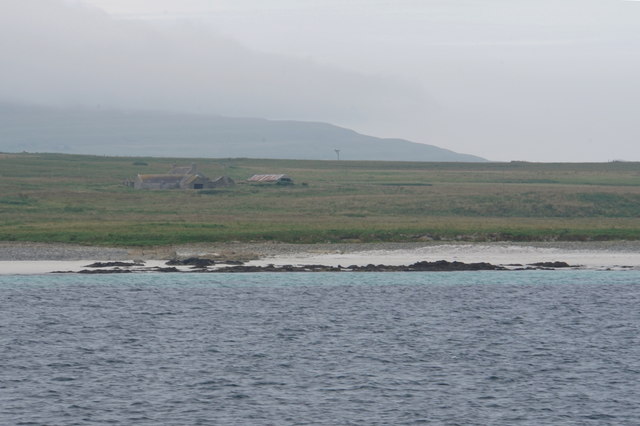
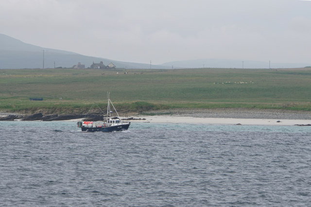
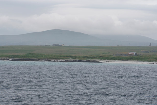
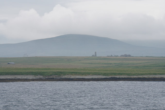
South Geo of Canquoy is a prominent coastal feature located in Orkney, Scotland. It is a headland that extends out into the North Atlantic Ocean, forming a distinct point along the rugged coastline of the region. The headland is situated on the eastern side of the Orkney Mainland, specifically in the parish of Deerness.
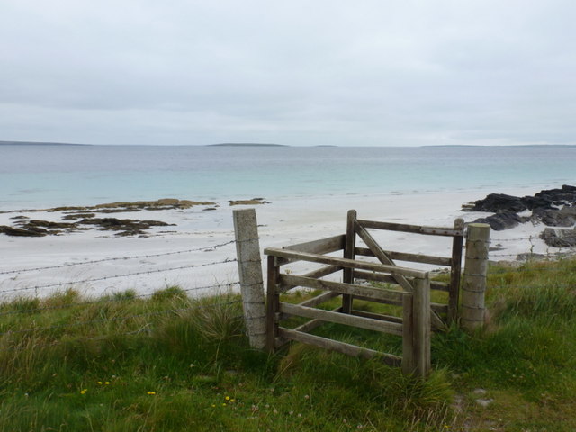
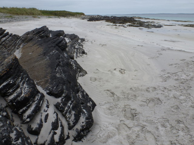
South Geo of Canquoy is characterized by its steep cliffs that rise dramatically from the sea, reaching heights of up to 60 meters. The cliffs are composed of sandstone and are rich in geological formations, showcasing layers of sedimentary rocks that offer insights into the region's geological history. The headland offers breathtaking panoramic views of the surrounding sea and nearby islands, making it a popular spot for tourists and nature enthusiasts.
The area surrounding South Geo of Canquoy is abundant in wildlife, serving as a habitat for various seabirds including fulmars, kittiwakes, and puffins. The cliffs also provide nesting sites for these birds, adding to the biological diversity of the headland. Additionally, the waters surrounding the point are known for their marine life, with seals often spotted basking on nearby rocks.
Access to South Geo of Canquoy is relatively straightforward, with a footpath leading visitors to the edge of the headland. However, caution is advised as the cliffs can be dangerous, and it is essential to stay within designated safe areas. The headland offers a unique opportunity to experience the raw beauty of Orkney's coastline, showcasing the power of nature and the rich ecological diversity of the region.
If you have any feedback on the listing, please let us know in the comments section below.
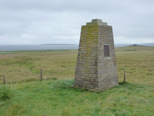
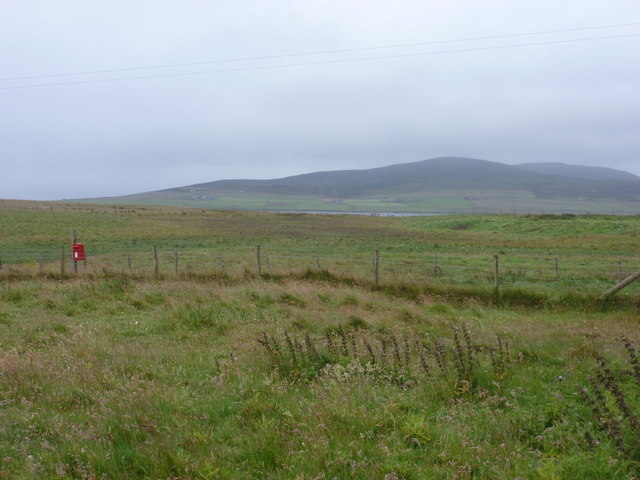
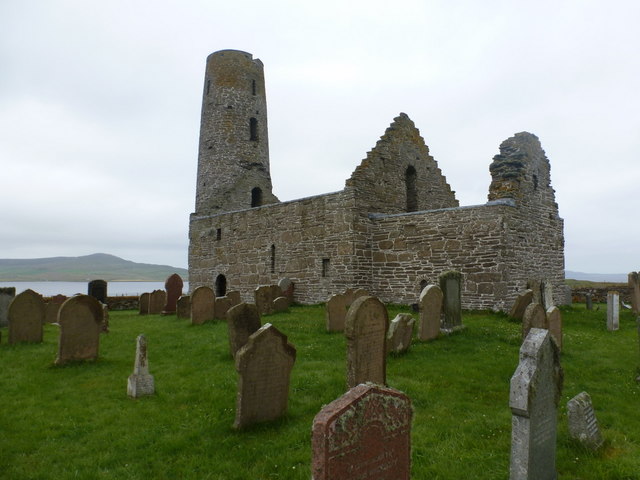
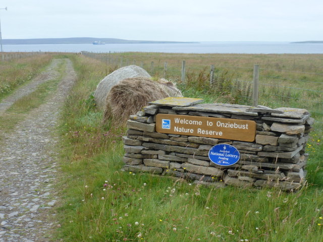
South Geo of Canquoy Images
Images are sourced within 2km of 59.154552/-2.9118044 or Grid Reference HY4730. Thanks to Geograph Open Source API. All images are credited.
South Geo of Canquoy is located at Grid Ref: HY4730 (Lat: 59.154552, Lng: -2.9118044)
Unitary Authority: Orkney Islands
Police Authority: Highlands and Islands
What 3 Words
///promoting.jots.classics. Near Brinian, Orkney Islands
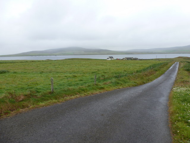
Nearby Locations
Related Wikis

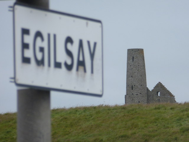
Egilsay
Egilsay (, Scots: Egilsay) is one of the Orkney Islands in Scotland, lying east of Rousay. The island is largely farmland and is known for its corncrakes...

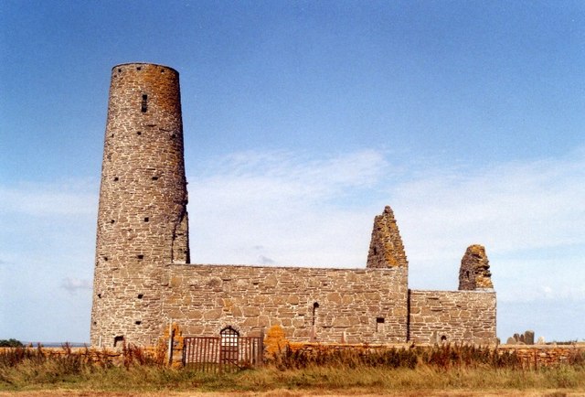
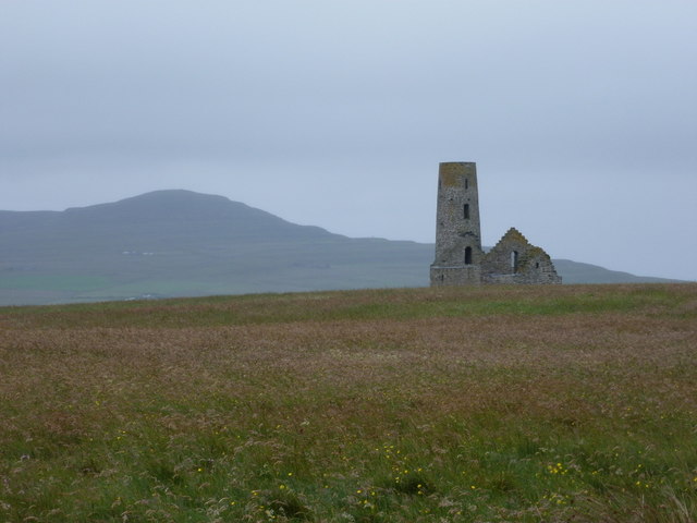
St Magnus Church, Egilsay
St Magnus's Church is a ruined medieval church located on the island of Egilsay, in Orkney, Scotland. The site is recognized as the place of execution...

Kili Holm
Kili Holm is a tidal island in the Orkney Islands, linked to Egilsay. Unusually, like its neighbour Egilsay, it may have a partly Gaelic etymology, in...

Holm of Scockness
The Holm of Scockness is a small island in the Orkney Islands, between Rousay and Egilsay. It is currently used for grazing. Its name is Norse in origin...
Have you been to South Geo of Canquoy?
Leave your review of South Geo of Canquoy below (or comments, questions and feedback).