Foul Hole
Coastal Feature, Headland, Point in Banffshire
Scotland
Foul Hole
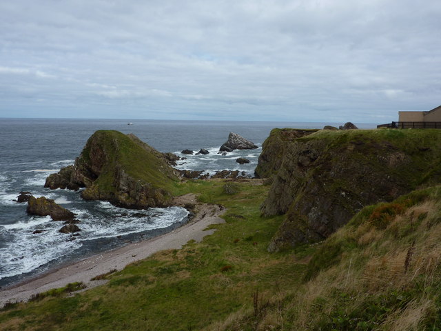
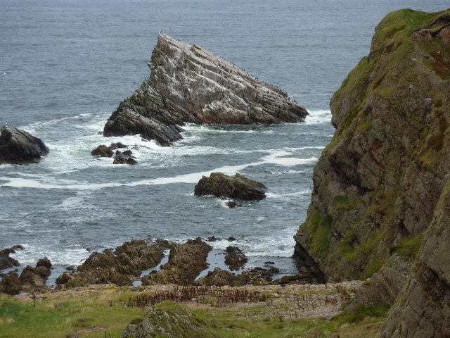
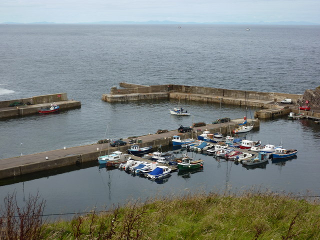
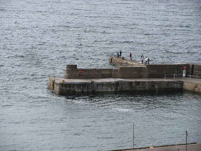
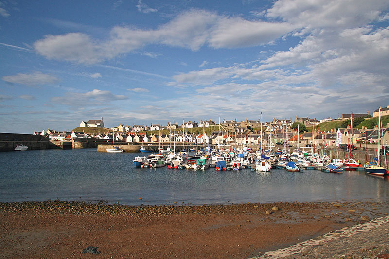
Foul Hole is a prominent coastal feature located in Banffshire, Scotland. It is primarily characterized as a headland or point jutting out into the North Sea. This geographic formation is situated roughly 2 miles northeast of Portsoy, a small coastal village in Aberdeenshire. Foul Hole is defined by its steep cliffs, rugged terrain, and striking natural beauty.
The headland stretches approximately 400 meters along the coastline and rises to an elevation of around 50 meters above sea level. Its unique geological composition comprises layers of sedimentary rocks, including sandstone and shale, which have been shaped by erosion over millions of years. This has resulted in the formation of several sea caves and stacks along the headland, adding to its dramatic appearance.
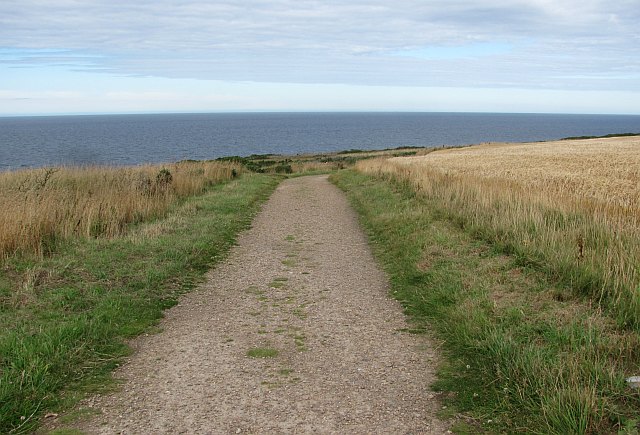
Foul Hole is known for its rich biodiversity and serves as a vital habitat for a variety of seabird species, including kittiwakes, fulmars, and guillemots. The headland's location also offers breathtaking panoramic views of the surrounding coastline, making it a popular spot for hikers, nature enthusiasts, and photographers.
In addition to its natural beauty, Foul Hole has historical significance as well. It is believed that the headland was once used as a site for smuggling activities during the 18th and 19th centuries. The remote and secluded nature of Foul Hole provided the perfect cover for illicit trade, and its caves were used to store contraband goods.
Overall, Foul Hole in Banffshire is a captivating coastal feature that boasts stunning landscapes, diverse wildlife, and a fascinating history, making it a must-visit destination for those exploring the Scottish coastline.
If you have any feedback on the listing, please let us know in the comments section below.
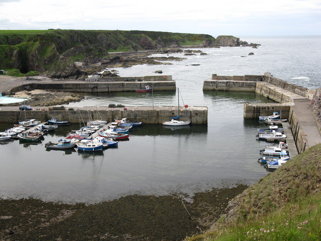
Foul Hole Images
Images are sourced within 2km of 57.702476/-2.8820754 or Grid Reference NJ4768. Thanks to Geograph Open Source API. All images are credited.


Foul Hole is located at Grid Ref: NJ4768 (Lat: 57.702476, Lng: -2.8820754)
Unitary Authority: Moray
Police Authority: North East
What 3 Words
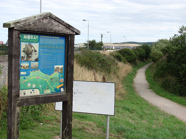
///survivor.lends.badminton. Near Portknockie, Moray
Nearby Locations
Related Wikis

Tronach Castle
Tronach Castle was a castle, about 0.5 miles (0.80 km) east of Portknockie, Moray, Scotland, near the shore. == Description == The first Statistical Account...
Buckpool
Buckpool is a village on the coast of Moray, Scotland. Originally known as Nether Buckie, it is now effectively a part of the town of Buckie as the nearby...
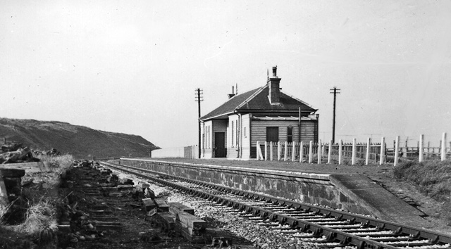
Portknockie railway station
Portknockie railway station was a railway station that served the small fishing village of Portknockie, close to Cullen in Moray. The railway station was...
Findochty railway station
Findochty railway station was a railway station in the small fishing village of Findochty, Moray about 3 miles to the east of Buckie. The railway station...
Findochty
Findochty (pronounced , Scots: Finichty, Scottish Gaelic: Am Fionn Ochdamh) is a village in Moray, Scotland, on the shores of the Moray Firth; historically...

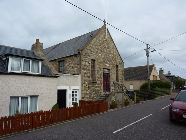
Portknockie
Portknockie (Scottish Gaelic: Port Chnocaidh, the hilly port) is a coastal village on the Moray Firth within Moray, Scotland. The village's name is written...
Green Castle, Portknockie
Green Castle is a naturally defended rocky outcrop in the village of Portknockie in Moray, Scotland, that was occupied successively by small promontory...

Bow Fiddle Rock
Bow Fiddle Rock is a natural sea arch near Portknockie on the north-eastern coast of Scotland. It is so called because it resembles the tip of a fiddle...
Nearby Amenities
Located within 500m of 57.702476,-2.8820754Have you been to Foul Hole?
Leave your review of Foul Hole below (or comments, questions and feedback).