The Old Man
Coastal Feature, Headland, Point in East Lothian
Scotland
The Old Man

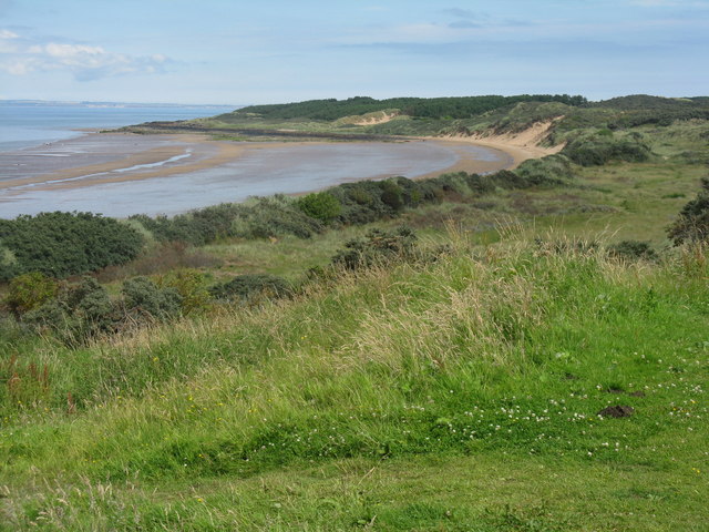
The Old Man, located in East Lothian, is a prominent coastal feature and natural landmark that is known for its stunning headland and point formation. Situated along the rugged coastline of Scotland, this geological wonder attracts a multitude of visitors every year.
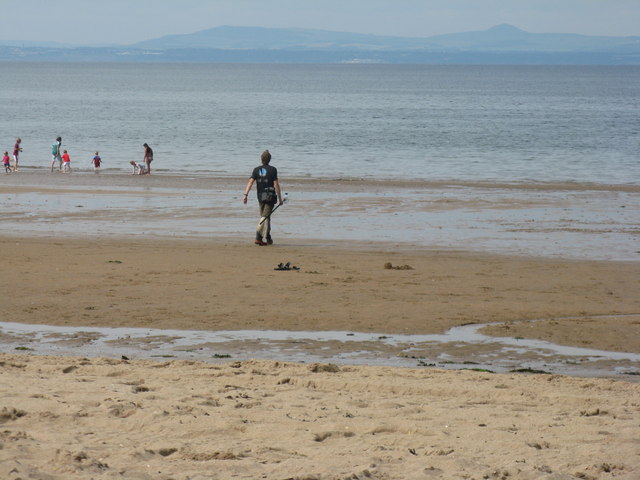
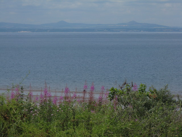
Standing tall and majestic, The Old Man is a striking rock formation that juts out into the North Sea. Composed primarily of sandstone, the headland is characterized by its distinctive shape, resembling the profile of an old man's face, hence its name. Over the years, the relentless forces of wind and waves have carved intricate patterns into the rock, adding to its allure.
The Old Man is not only visually captivating but also holds significant historical and cultural importance. It has served as a navigational aid for sailors for centuries, guiding them along the treacherous coastline. Additionally, it has been the subject of folklore and legends, with tales of ancient battles and mythical creatures associated with its existence.
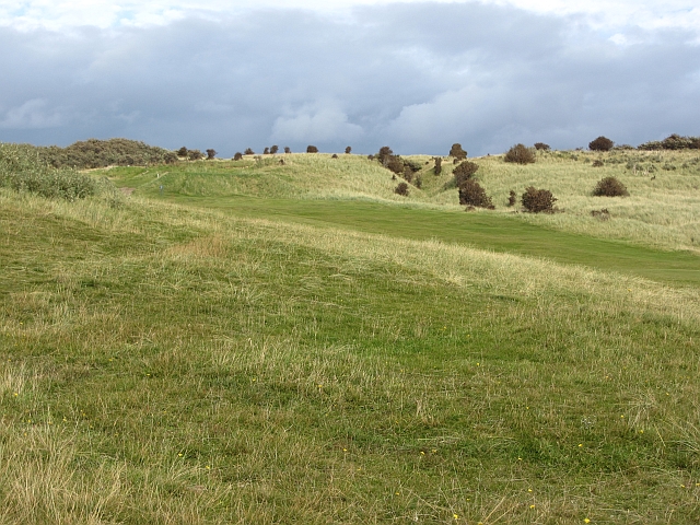
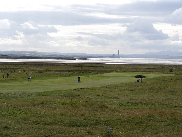
Nature enthusiasts are drawn to The Old Man for its diverse wildlife. The surrounding waters are home to a variety of seabirds, including gannets, puffins, and guillemots. Seals can often be spotted basking on the rocks, adding to the area's natural beauty.
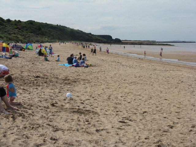
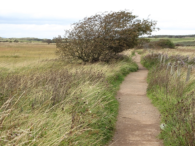
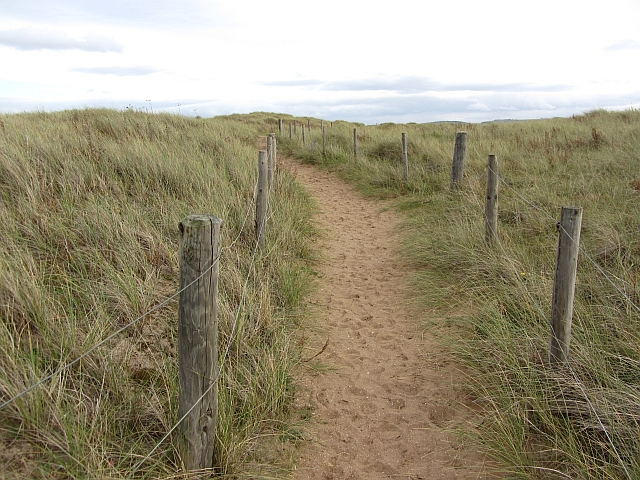
Visitors can explore The Old Man by walking along the coastal path that offers panoramic views of the sea and the surrounding countryside. It provides an excellent vantage point for photographers and nature lovers alike.
In conclusion, The Old Man in East Lothian is a captivating coastal feature and headland that combines natural beauty, historical significance, and a rich wildlife habitat. Its unique shape and stunning views make it a must-visit destination for anyone exploring Scotland's rugged coastline.
If you have any feedback on the listing, please let us know in the comments section below.
The Old Man Images
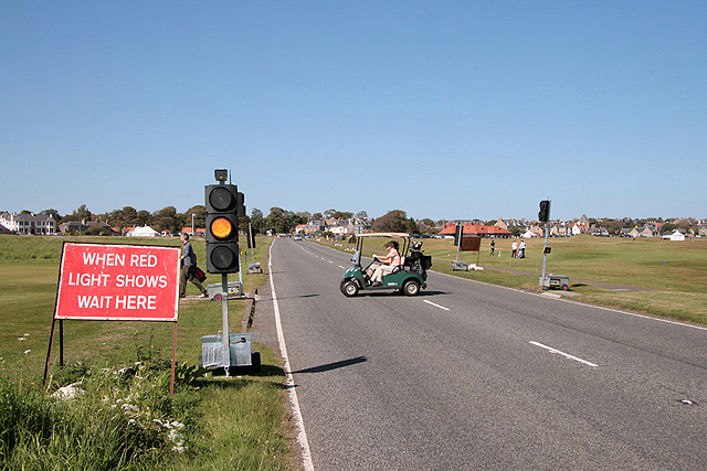
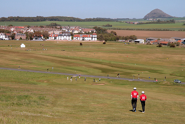
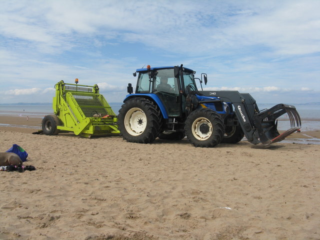
Images are sourced within 2km of 56.036316/-2.8666707 or Grid Reference NT4682. Thanks to Geograph Open Source API. All images are credited.


The Old Man is located at Grid Ref: NT4682 (Lat: 56.036316, Lng: -2.8666707)
Unitary Authority: East Lothian
Police Authority: The Lothians and Scottish Borders
What 3 Words
///cuter.harmonica.robot. Near Gullane, East Lothian
Nearby Locations
Related Wikis

Aberlady Bay
Aberlady Bay in East Lothian, Scotland lies between Aberlady and Gullane. In 1952, Aberlady Bay became the UK's first Local Nature Reserve (LNR) and is...
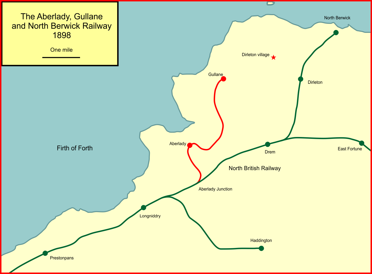
Aberlady, Gullane and North Berwick Railway
The Aberlady, Gullane and North Berwick Railway was promoted independently to develop settlements between Longniddry and North Berwick in East Lothian...
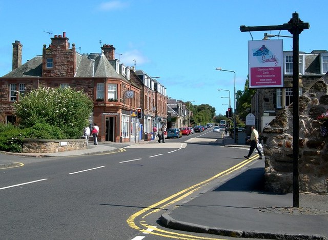
Gullane
Gullane ( GUL-ən or GIL-ən) is a town on the southern shore of the Firth of Forth in East Lothian on the east coast of Scotland. There has been a church...
Gullane railway station
Gullane railway station served the village of Gullane in Scotland. It was served by the Aberlady, Gullane and North Berwick railway. This line diverged...
Nearby Amenities
Located within 500m of 56.036316,-2.8666707Have you been to The Old Man?
Leave your review of The Old Man below (or comments, questions and feedback).