Smeary Geo

Coastal Feature, Headland, Point in Orkney

Scotland

Smeary Geo

Ruin and trig point at Breck, Westray
Ruin and trig point at Breck, Westray Credit: Alpin Stewart

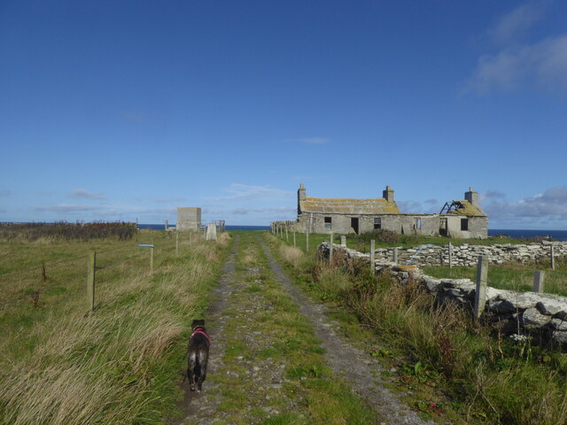
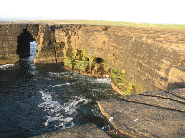
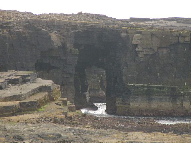
Smeary Geo is a prominent coastal feature located in Orkney, Scotland. It is classified as a headland or point, extending out into the North Sea. The name "Smeary" is derived from the Old Norse word "smjor," meaning butter, which suggests a connection to the area's historical Viking heritage.

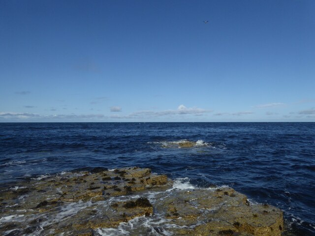
This coastal feature is characterized by its rugged and rocky terrain, with steep cliffs that reach heights of up to 30 meters. The cliffs are composed of sandstone and are regularly subjected to erosion from the relentless crashing waves, creating a dramatic and awe-inspiring sight.

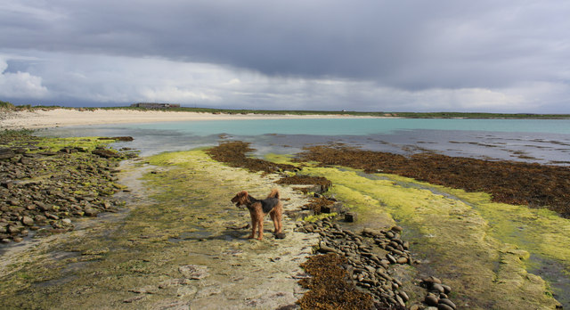
Smeary Geo is well-known for its diverse wildlife. The surrounding waters are home to a wide variety of seabirds, such as gulls, fulmars, and kittiwakes, which nest along the cliff edges. These birds provide a captivating display of soaring and diving as they fish in the rich marine ecosystem.

The headland also offers fantastic views of the surrounding landscape. To the north, visitors can admire the panoramic vista of the North Sea, while to the south, the Orkney mainland stretches out, showcasing rolling green hills and picturesque coastal villages.

Smeary Geo is a popular destination for nature lovers and outdoor enthusiasts. The area offers excellent opportunities for hiking along the coastal paths, allowing visitors to explore the rugged beauty of the headland and appreciate the abundant wildlife. Additionally, the headland is a favored spot for birdwatchers and photographers seeking to capture the breathtaking scenery and avian activity.

In conclusion, Smeary Geo is a captivating and ecologically diverse coastal feature in Orkney, attracting visitors with its stunning cliffs, panoramic views, and abundant wildlife.

If you have any feedback on the listing, please let us know in the comments section below.
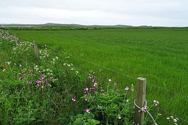
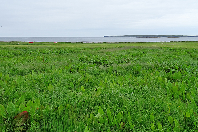
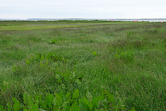
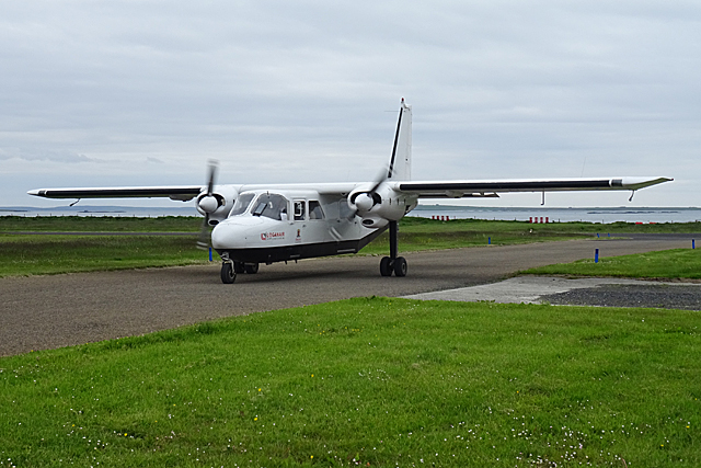
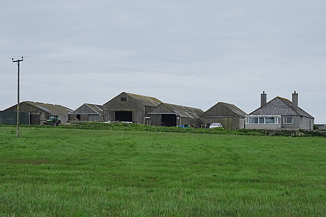
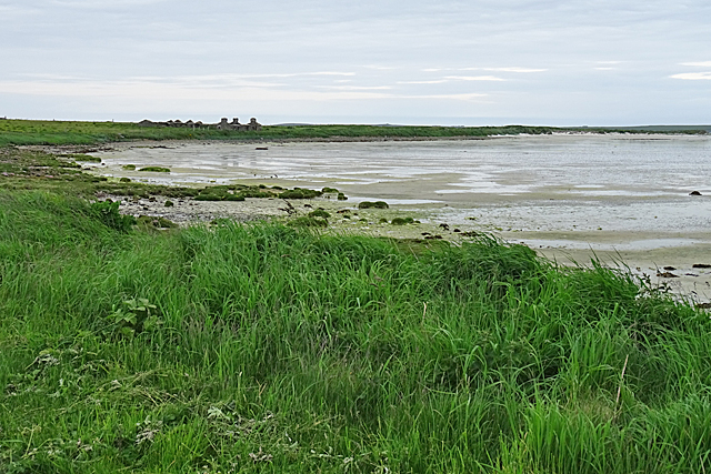
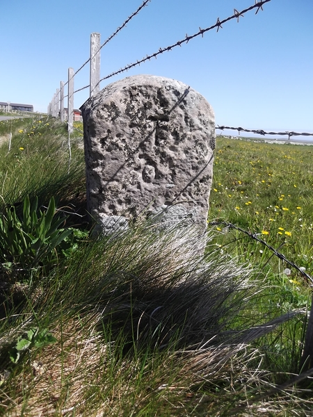
Smeary Geo Images

Images are sourced within 2km of 59.359606/-2.9580209 or Grid Reference HY4552. Thanks to Geograph Open Source API. All images are credited.

Ruin and trig point at Breck, Westray
Rocks at Bow Head, Westray
The Vian, Aikerness, Westray
Airport Gate There's not much risk of anyone failing to spot the warning notices at Westray Airport!
Airport Gate
There's not much risk of anyone failing to spot the warning notices at Westray Airport!
Skaill The farm at Skaill stands on a gentle slope with a good view of the airport.
Skaill
The farm at Skaill stands on a gentle slope with a good view of the airport.
Field Beside the Airport In fact the crosswind runway is just over the fence on the far side of this field.
Field Beside the Airport
In fact the crosswind runway is just over the fence on the far side of this field.
Westray Airport One of the airport staff kindly escorted me airside so that I could photograph the two grid squares just beyond the gate. This is looking towards the north end of the grass runway, with the north of Papa Westray in the distance.
Westray Airport
One of the airport staff kindly escorted me airside so that I could photograph the two grid squares just beyond the gate. This is looking towards the north end of the grass runway, with the north of Papa Westray in the distance.
Westray Airport One of the airport staff kindly escorted me airside so that I could photograph the two grid squares just beyond the gate. This shows the main tarmac runway, and the south end of the grass runway.
Westray Airport
One of the airport staff kindly escorted me airside so that I could photograph the two grid squares just beyond the gate. This shows the main tarmac runway, and the south end of the grass runway.
Terminal Building These are the buildings at Westray Airport. The terminal on the left and the fire station on the right, the fire engine ready with engine running in case it is needed. It wasn't, of course.
Terminal Building
These are the buildings at Westray Airport. The terminal on the left and the fire station on the right, the fire engine ready with engine running in case it is needed. It wasn't, of course.
G-BLDV Taxiing to the Terminal G-BLDV is one of the Loganair fleet operating the Orkney inter-island service. It is a Pilatus Britten-Norman Ltd BN2B Islander with seats for eight passengers. It was built in 1984 and powered by twin Lycoming O-540-E4C5 engines, and it had flown just over 19,000 hours at its last annual inspection.
G-BLDV Taxiing to the Terminal
G-BLDV is one of the Loganair fleet operating the Orkney inter-island service. It is a Pilatus Britten-Norman Ltd BN2B Islander with seats for eight passengers. It was built in 1984 and powered by twin Lycoming O-540-E4C5 engines, and it had flown just over 19,000 hours at its last annual inspection.
Windywalls Like most of the farms here, Windywalls stands on slightly higher ground.
Windywalls
Like most of the farms here, Windywalls stands on slightly higher ground.
The Ouse The Ouse is a shallow sandy bay in the north of Westray. The buildings on the far side of the bay are at Hahouse.
The Ouse
The Ouse is a shallow sandy bay in the north of Westray. The buildings on the far side of the bay are at Hahouse.
Old Milestone by the B9066, Aikerness, Westray parish Stone post by the B9066, in parish of Westray (District), South of bungalow, on verge, East side of road.

Inscription reads:-
: P / 2 : : T / 1 :
(To Pierowall and Trenabie)

Surveyed

Milestone Society National ID: OR_WYPWTN02
Old Milestone by the B9066, Aikerness, Westray parish
Stone post by the B9066, in parish of Westray (District), South of bungalow, on verge, East side of road. Inscription reads:- : P / 2 : : T / 1 : (To Pierowall and Trenabie) Surveyed Milestone Society National ID: OR_WYPWTN02
Bay of Skaill
Bay of Skaill
Bay of Skaill
Bay of Skaill
The Scaun This is a 3-way natural arch.
The Scaun
This is a 3-way natural arch.
Natural Arches On the northern coast of Westray the sea which has caused this erosion was peaceful today.
Natural Arches
On the northern coast of Westray the sea which has caused this erosion was peaceful today.
Show me another place!

Smeary Geo is located at Grid Ref: HY4552 (Lat: 59.359606, Lng: -2.9580209)

Unitary Authority: Orkney Islands

Police Authority: Highlands and Islands

What 3 Words

///talent.lately.stance. Near Pierowall, Orkney Islands

Related Wikis

Westray Airport

Westray Airport (IATA: WRY, ICAO: EGEW) is an airport at Aikerness, on Westray in the Orkney Islands, Scotland. It is best known for being one of the two...

Quoygrew settlement, Westray

Quoygrew, Westray is the site of a medieval Norse settlement on the island of Westray in Orkney, Scotland. Established as a small farmstead most likely...

Knap of Howar

The Knap of Howar () on the island of Papa Westray in Orkney, Scotland is a Neolithic farmstead which may be the oldest preserved stone house in northern...

St Boniface's Church, Papa Westray

St Boniface's Church, Papa Westray is a historic church and graveyard located on the island of Papa Westray in Orkney, Scotland. The site of the church...

Related Videos

Knap of Howar, the oldest stone house in northern Europe, isle of Papa Westray, Orkney

The Knap of Howar on the island of Papa Westray in Orkney, Scotland is a Neolithic farmstead which may be the oldest preserved ...

Knap of Howar, the oldest stone house in northern Europe, isle of Papa Westray, Orkney

The Knap of Howar on the island of Papa Westray in Orkney, Scotland is a Neolithic farmstead which may be the oldest preserved ...

Viking settlement of Quoygrew in Westray island, Orkney islands

Quoygrew, Westray is the site of a medieval Norse settlement on the island of Westray in Orkney, Scotland. Established as a small ...

Knap of Howar, the oldest stone house in northern Europe, isle of Papa Westray, Orkney

The Knap of Howar on the island of Papa Westray in Orkney, Scotland is a Neolithic farmstead which may be the oldest preserved ...

Nearby Amenities

Located within 500m of 59.359606,-2.9580209
Bow Head
Place: locality
Source: OS7
Lat/Long: 59.3589099/-2.9540452
Ele: 18.897
Man Made: survey_point
Ref: S9325
Survey Point Structure: pillar
Lat/Long: 59.3555967/-2.9584441
The data included in this document is from www.openstreetmap.org. The data is made available under ODbL.

Have you been to Smeary Geo?

Leave your review of Smeary Geo below (or comments, questions and feedback).