Cradle Rock

Coastal Feature, Headland, Point in Fife

Scotland

Cradle Rock

Construction of flood defences, Broughty Ferry
Construction of flood defences, Broughty Ferry Credit: Mark Anderson

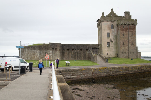
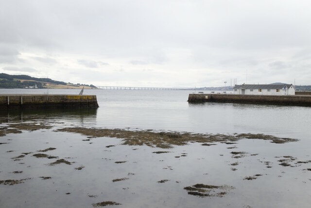
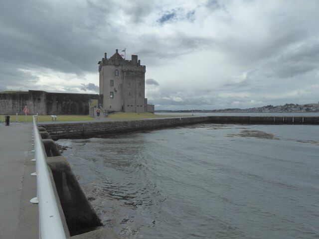
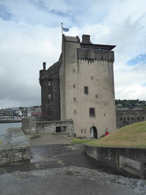
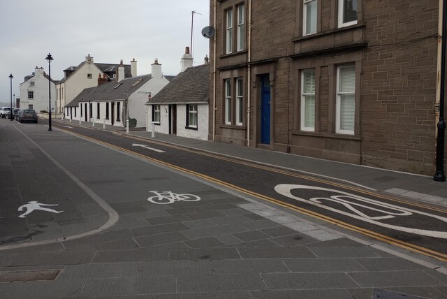
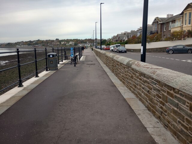
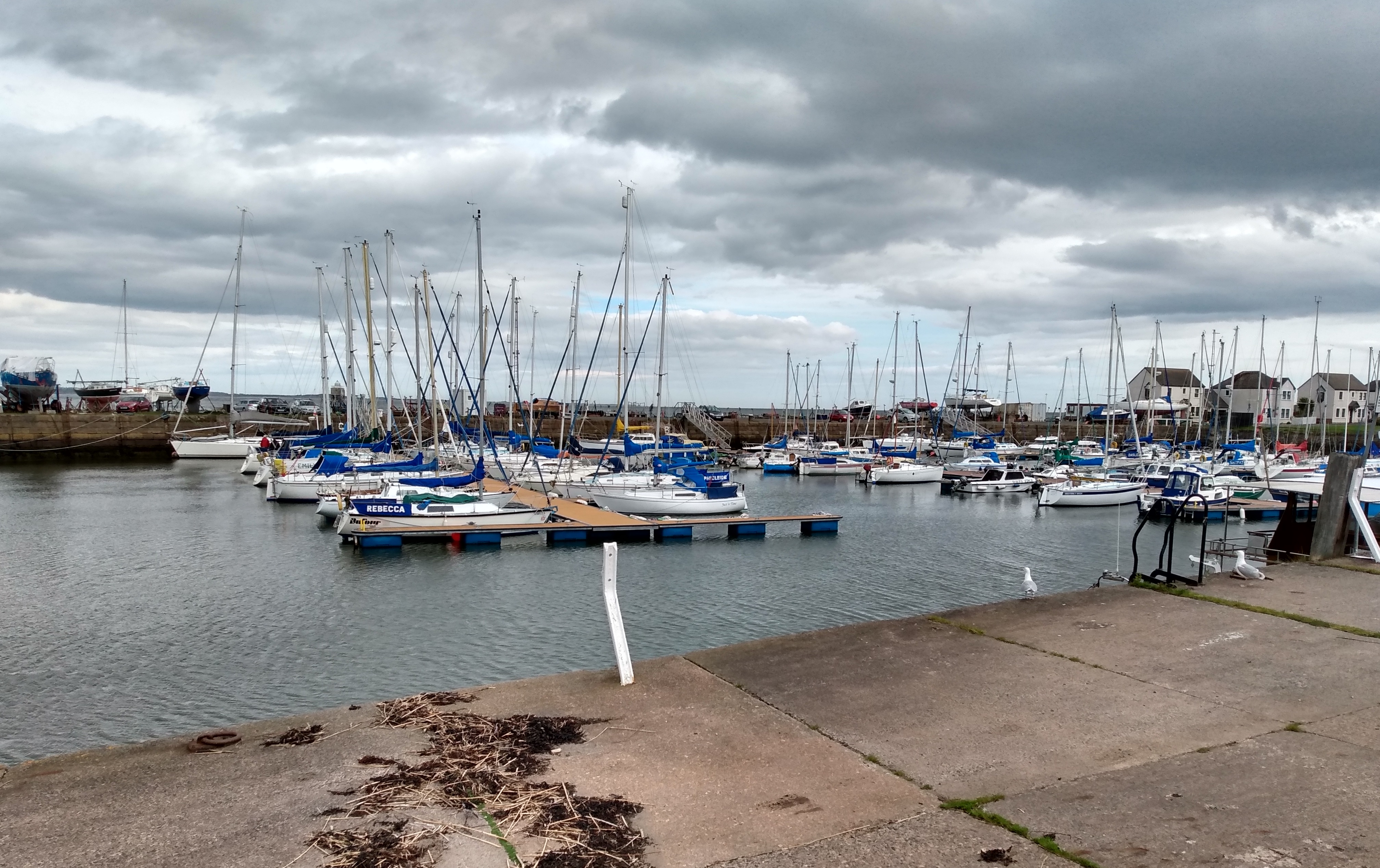
Cradle Rock is a prominent coastal feature located in Fife, Scotland. Situated on the eastern coastline, it is characterized as a headland, protruding into the North Sea. The rocky outcrop extends from the landmass, forming a distinct point that juts out into the water.

The unique formation of Cradle Rock is a result of geological processes that occurred over millions of years. It is primarily composed of sandstone, which has been shaped by the constant erosive forces of wind, waves, and tides. As a result, the rock face exhibits a rugged and weathered appearance, with deep crevices and jagged edges.

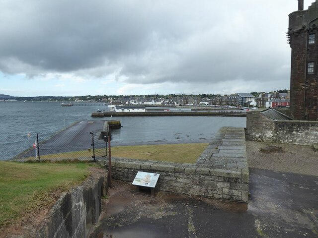
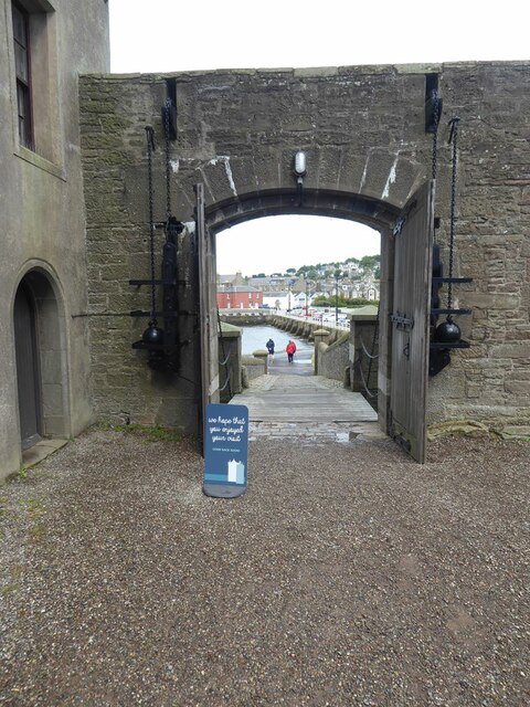
The headland is positioned in close proximity to the shoreline, offering spectacular views of the surrounding coastal landscape. It serves as a popular destination for both locals and tourists, attracting visitors who seek to admire the natural beauty of the area. Additionally, Cradle Rock offers opportunities for recreational activities such as hiking, birdwatching, and photography.

Due to its exposed location, Cradle Rock is subject to the powerful forces of the North Sea. It is particularly vulnerable to storm surges and high tides, which can cause significant erosion and sculpt the rock formation further. Consequently, ongoing monitoring and conservation efforts are in place to protect this unique coastal feature, ensuring its preservation for future generations.

Overall, Cradle Rock is a visually striking and geologically significant headland in Fife, Scotland. Its rugged beauty and accessibility make it a noteworthy coastal point, attracting nature enthusiasts and providing a captivating experience of Scotland's diverse coastline.

If you have any feedback on the listing, please let us know in the comments section below.

Cradle Rock Images

Images are sourced within 2km of 56.453078/-2.8948783 or Grid Reference NO4429. Thanks to Geograph Open Source API. All images are credited.

Construction of flood defences, Broughty Ferry
Broughty Castle
Broughty Castle
Harbour, Broughty Ferry
Promenade at James Place, Broughty Ferry
Firth of Tay Seen from the promenade at James Place, Broughty Ferry. The Tay Road Bridge can be seen on the horizon.
Firth of Tay
Seen from the promenade at James Place, Broughty Ferry. The Tay Road Bridge can be seen on the horizon.
Broughty Castle 15th Century, now housing a local museum.
Broughty Castle
15th Century, now housing a local museum.
The Harbour at Broughty Ferry Seen from the Castle.
The Harbour at Broughty Ferry
Seen from the Castle.
The Keep at Broughty Castle 15th Century, now housing a local museum.
The Keep at Broughty Castle
15th Century, now housing a local museum.
Gateway to Broughty Castle 15th Century, now housing a local museum. Looking out to the Harbour.
Gateway to Broughty Castle
15th Century, now housing a local museum. Looking out to the Harbour.
Dundee hire bike Hire scheme operated by the Dundee Cycle Hub. Seen outside Broughty Castle.
Dundee hire bike
Hire scheme operated by the Dundee Cycle Hub. Seen outside Broughty Castle.
Lifeboat sculpture Depicts lifeboat davits and bears names of Broughty Ferry lifeboats since 1850
Lifeboat sculpture
Depicts lifeboat davits and bears names of Broughty Ferry lifeboats since 1850
Former Submarine Miners' Depot This building forms the remaining part of the depot constructed for the Tay Division Submarine Miners RE (Volunteers), raised on 17 March 1888.
Former Submarine Miners' Depot
This building forms the remaining part of the depot constructed for the Tay Division Submarine Miners RE (Volunteers), raised on 17 March 1888.
Lodge Broughty Castle No 486 Building dates from 1912
Lodge Broughty Castle No 486
Building dates from 1912
Fisher Street Clearly marked routes for pedestrians, cyclists & cars
Fisher Street
Clearly marked routes for pedestrians, cyclists & cars
Footpath/cycle path: Broughty Ferry Recent addition as shown by Streetview (June 2018)
Footpath/cycle path: Broughty Ferry
Recent addition as shown by Streetview (June 2018)
Pebble covered beach Heron on water's edge
Pebble covered beach
Heron on water's edge
Promenade: Fisher Street Looking back to lifeboat station
Promenade: Fisher Street
Looking back to lifeboat station
Show me another place!

Cradle Rock is located at Grid Ref: NO4429 (Lat: 56.453078, Lng: -2.8948783)

Unitary Authority: Fife

Police Authority: Fife

What 3 Words

///manage.class.newlyweds. Near Tayport, Fife

Nearby Locations

Cradle Rock

Related Wikis

Tayport Castle

Tayport Castle, was a Z plan castle that was located near Tayport, Fife, Scotland. The castle was demolished in the 19th century and no remains above ground...

Tayport railway station

Tayport railway station served the town of Tayport, Fife, Scotland from 1848 to 1967 on the Newport Railway. == History == The station opened on 17 May...

Tayport

Tayport, also known as Ferry-Port on Craig, is a town and burgh, and parish, in the county of Fife, Scotland, acting as a commuter town for Dundee. The...

Tayport F.C.

Tayport Football Club are a Scottish football club from Tayport, Fife. Formed in 1947, they play their home games at The Canniepairt. Nicknamed the Port...

Nearby Amenities

Located within 500m of 56.453078,-2.8948783
Tayport Low Light
Man Made: lighthouse
Note: disused and privately owned
Wikidata: Q5856526
Lat/Long: 56.4528318/-2.8923887
Barrier: cycle_barrier
Bicycle: yes
Foot: yes
Lat/Long: 56.4522836/-2.8881008
Tayport High Light
Man Made: lighthouse
Seamark Landmark Category: tower
Seamark Landmark Colour: white
Seamark Light 1 Character: Iso
Seamark Light 1 Colour: green
Seamark Light 1 Height: 24
Seamark Light 1 Period: 2
Seamark Light 1 Range: 14
Seamark Light 1 Sector End: 268
Seamark Light 1 Sector Start: 267.5
Seamark Light 2 Character: VQ
Seamark Light 2 Colour: green
Seamark Light 2 Height: 24
Seamark Light 2 Range: 14
Seamark Light 2 Sector End: 267.5
Seamark Light 2 Sector Start: 266
Seamark Light 3 Character: Iso
Seamark Light 3 Colour: white
Seamark Light 3 Height: 24
Seamark Light 3 Period: 2
Seamark Light 3 Range: 14
Seamark Light 3 Sector End: 268.5
Seamark Light 3 Sector Start: 268
Seamark Light 4 Character: VQ
Seamark Light 4 Colour: red
Seamark Light 4 Height: 24
Seamark Light 4 Range: 14
Seamark Light 4 Sector End: 271
Seamark Light 4 Sector Start: 269
Seamark Light 5 Character: Iso
Seamark Light 5 Colour: red
Seamark Light 5 Height: 24
Seamark Light 5 Period: 2
Seamark Light 5 Range: 14
Seamark Light 5 Sector End: 269
Seamark Light 5 Sector Start: 268.5
Seamark Light Reference: A 3142
Seamark Name: Tayport High
Seamark Type: landmark
Wikidata: Q5856524
Lat/Long: 56.4528134/-2.8990571
Post Box
Collection Times: Mo-Fr 16:00; Sa 11:15
Post Box Type: lamp
Ref: DD6 132
Royal Cypher: scottish_crown
Source: survey
Lat/Long: 56.4505868/-2.8960728
Bench
Backrest: yes
Material: wood
Lat/Long: 56.452857/-2.8910443
Bench
Backrest: yes
Material: wood
Lat/Long: 56.4528822/-2.891232
Bench
Backrest: yes
Material: wood
Lat/Long: 56.4529066/-2.8914694
Bus Stop
Bench: no
Bus: yes
Naptan AtcoCode: 6500N0086
Naptan NaptanCode: 34345253
Public Transport: platform
Shelter: no
Lat/Long: 56.4515438/-2.8876032
Bus Stop
Bench: no
Shelter: no
Lat/Long: 56.4515223/-2.8916198
Cradle Rock
Natural: rock
Lat/Long: 56.4532167/-2.8938283
Roofert Rock
Natural: rock
Lat/Long: 56.4532837/-2.8910856
Power: pole
Lat/Long: 56.4493609/-2.898054
Power: pole
Lat/Long: 56.4494889/-2.8970617
The data included in this document is from www.openstreetmap.org. The data is made available under ODbL.

Have you been to Cradle Rock?

Leave your review of Cradle Rock below (or comments, questions and feedback).