Geo of Myres

Coastal Feature, Headland, Point in Orkney

Scotland

Geo of Myres

Rousay: postbox № KW17 104 This postbox, by the school and just off the main road, is of a modern design, constructed of pressed steel and designed to be more robust, rustproof and theft-proof than the traditional cast iron box that it will have replaced in the last couple of years.

This particular style of box is becoming quite commonplace in these remote, exposed parts.

Meanwhile, the telephone box is attached by string to the litter bin; I'm not sure whether it's to keep the box door closed or to stop the bin from blowing away.
Rousay: postbox № KW17 104 Credit: Chris Downer

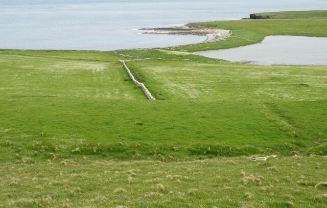
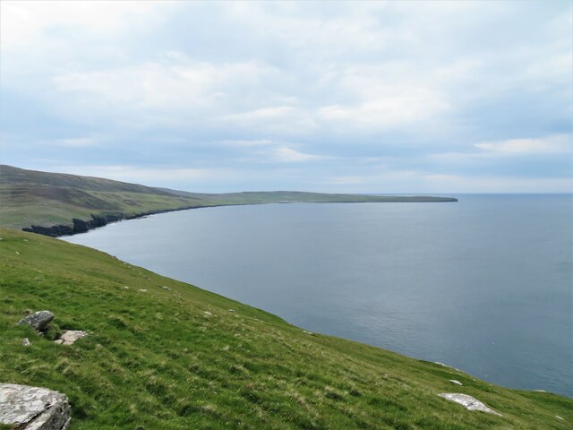
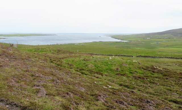
Geo of Myres is a prominent coastal feature located on the island of Orkney, Scotland. It is characterized by its distinctive headland and point, which juts out into the North Sea. The headland offers breathtaking views of the surrounding landscape, including the rugged cliffs, sweeping beaches, and the vast expanse of the ocean.

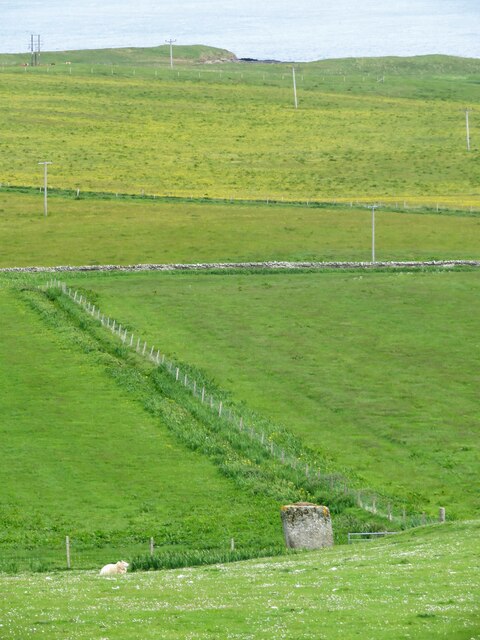
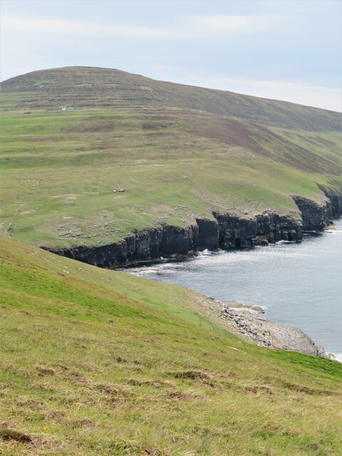
The Geo of Myres is formed by the eroding action of the sea on the underlying rocks, predominantly composed of sandstone and sedimentary layers. The constant battering of the waves has sculpted the headland into its current shape, creating steep cliffs that tower above the water. These cliffs are marked by distinctive geological formations, such as sea stacks and caves, adding to the area's natural beauty.

The point of the Geo of Myres is a narrow strip of land that extends into the sea, providing a vantage point for observing marine wildlife and seabirds. The area is renowned for its diverse bird population, including puffins, guillemots, and razorbills, making it a popular spot for birdwatching enthusiasts.

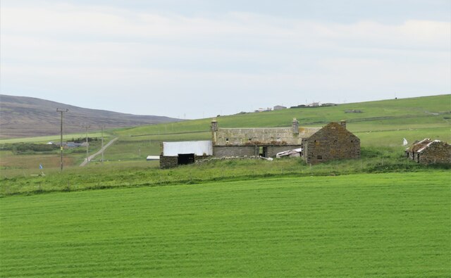
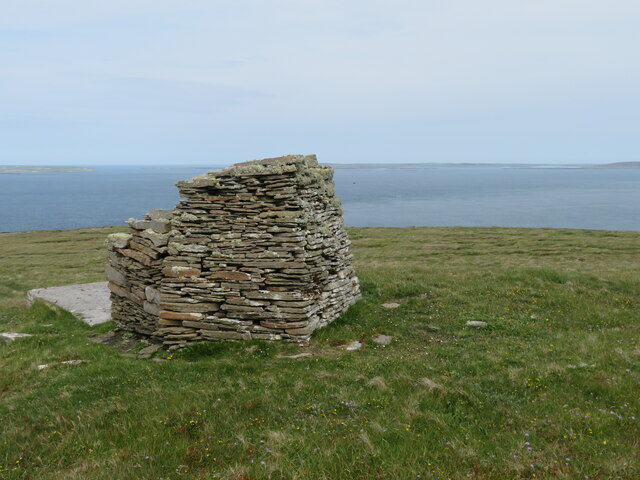
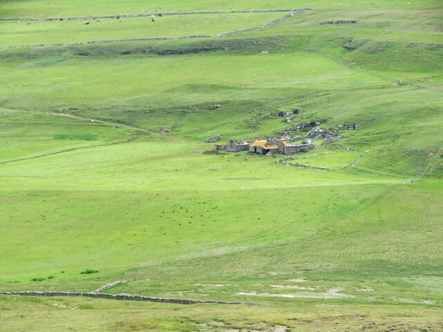
In addition to its stunning natural features, the Geo of Myres holds historical significance. It is believed to have been used by ancient settlers for fishing and as a harbor for their boats. Archaeological remains, such as stone structures and artifacts, have been discovered in the vicinity, shedding light on the island's rich cultural heritage.

Overall, the Geo of Myres is a captivating coastal feature that showcases the raw power of nature and the rich history of the Orkney Islands. Its unique combination of geological formations, diverse wildlife, and historical significance makes it a must-visit destination for nature lovers and history enthusiasts alike.

If you have any feedback on the listing, please let us know in the comments section below.
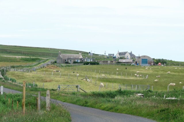
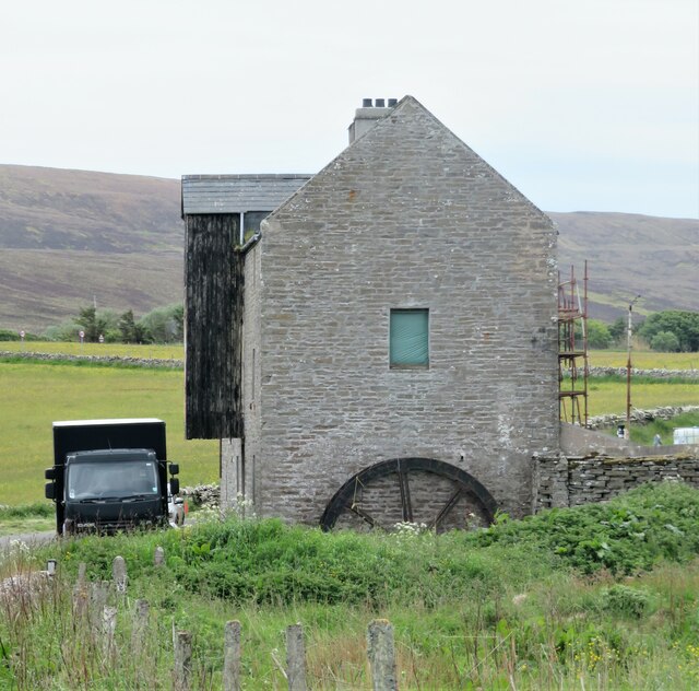
Geo of Myres Images

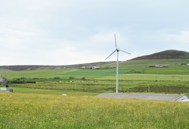
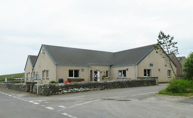
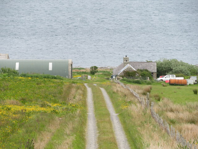
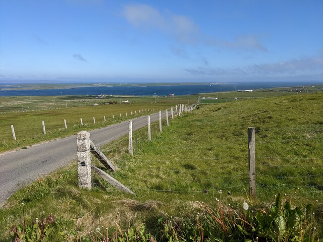
Images are sourced within 2km of 59.171823/-2.9698356 or Grid Reference HY4432. Thanks to Geograph Open Source API. All images are credited.

Rousay: postbox № KW17 104 This postbox, by the school and just off the main road, is of a modern design, constructed of pressed steel and designed to be more robust, rustproof and theft-proof than the traditional cast iron box that it will have replaced in the last couple of years.

This particular style of box is becoming quite commonplace in these remote, exposed parts.

Meanwhile, the telephone box is attached by string to the litter bin; I'm not sure whether it's to keep the box door closed or to stop the bin from blowing away.
Rousay: postbox № KW17 104
This postbox, by the school and just off the main road, is of a modern design, constructed of pressed steel and designed to be more robust, rustproof and theft-proof than the traditional cast iron box that it will have replaced in the last couple of years. This particular style of box is becoming quite commonplace in these remote, exposed parts. Meanwhile, the telephone box is attached by string to the litter bin; I'm not sure whether it's to keep the box door closed or to stop the bin from blowing away.
Rousay: postbox № KW17 42, Sourin A fairly modern postbox (1994 at the earliest, otherwise it would have POST OFFICE instead of ROYAL MAIL) at the junction of the B9064 and a minor road to a few houses.
Rousay: postbox № KW17 42, Sourin
A fairly modern postbox (1994 at the earliest, otherwise it would have POST OFFICE instead of ROYAL MAIL) at the junction of the B9064 and a minor road to a few houses.
Lane towards Breck Lane heading past Breck towards Faraclett and Scockness. A chapel is shown on the map here, but there's nothing resembling such a building amongst those to the right of the road.
Lane towards Breck
Lane heading past Breck towards Faraclett and Scockness. A chapel is shown on the map here, but there's nothing resembling such a building amongst those to the right of the road.
Nethermill Rousay This also appears to be known as Sourin Mill and has an old cast iron wheel on this side, but does the wall to the right of the wheel show a former water race and possibly a breast shot arrangement?   Lots of activity at the mill on this occasion as it looks as though it is under conversion to a dwelling.
Nethermill Rousay
This also appears to be known as Sourin Mill and has an old cast iron wheel on this side, but does the wall to the right of the wheel show a former water race and possibly a breast shot arrangement? Lots of activity at the mill on this occasion as it looks as though it is under conversion to a dwelling.
Hillside down to the Yetnasteen stone No an easy subject to photograph as access across nearby fields is discouraged. The stone - 'Jotunna-steinn' in old Norse, which simply means 'giant stone' is over 2m high and is said to be a giant who was turned into stone. The giant must still have a thirst as legend says that the stone makes a few strides down the nearby Loch of Scockness at Hogmanay for a drink before returning. I guess that most locals would prefer a rather stronger drink at Hogmanay.
Hillside down to the Yetnasteen stone
No an easy subject to photograph as access across nearby fields is discouraged. The stone - 'Jotunna-steinn' in old Norse, which simply means 'giant stone' is over 2m high and is said to be a giant who was turned into stone. The giant must still have a thirst as legend says that the stone makes a few strides down the nearby Loch of Scockness at Hogmanay for a drink before returning. I guess that most locals would prefer a rather stronger drink at Hogmanay.
Farmstead for superheros? The abandoned farmstead is shown as Pow on the map, but maybe that should read as 'POW!' if owned by a local superhero. Slowly decaying with roofs collapsing and weeds rampant.
Farmstead for superheros?
The abandoned farmstead is shown as Pow on the map, but maybe that should read as 'POW!' if owned by a local superhero. Slowly decaying with roofs collapsing and weeds rampant.
Fields down to the shore A near straight stone wall heads down the hillside towards the bar separating the Loch of Scockness from the sea.
Fields down to the shore
A near straight stone wall heads down the hillside towards the bar separating the Loch of Scockness from the sea.
Cairn on Faraclett Head The half mile or so between this point and the beginning of green fields further east is not a place to hang around during bird breeding season.  Half a dozen arctic skuas, nasty characters at the best of times, take it in turns to fly aggressively at any human interloper. A trekking pole raised above the head fends off most attacks.
Cairn on Faraclett Head
The half mile or so between this point and the beginning of green fields further east is not a place to hang around during bird breeding season. Half a dozen arctic skuas, nasty characters at the best of times, take it in turns to fly aggressively at any human interloper. A trekking pole raised above the head fends off most attacks.
North west side of Faraclett Head A path makes a traverse of grassy slopes here, but the immediate coastal views of cliffs are disappointing due to the nature of the ground above. Views along the coast to the west are good.
North west side of Faraclett Head
A path makes a traverse of grassy slopes here, but the immediate coastal views of cliffs are disappointing due to the nature of the ground above. Views along the coast to the west are good.
Coastline west of Faraclett Head The foreground here is within the grid square, but much of the cliffline beyond is in an adjoining square.
Coastline west of Faraclett Head
The foreground here is within the grid square, but much of the cliffline beyond is in an adjoining square.
Swandale, Rousay Looking right across the grid square from the Faraclett headland path towards the long abandoned farmstead of Swandale on the far side of a shallow valley.
Swandale, Rousay
Looking right across the grid square from the Faraclett headland path towards the long abandoned farmstead of Swandale on the far side of a shallow valley.
Two chambered cairns by the path Green humps, shown as chambered cairns on the map, with only the nearer one being within the grid square. The nearby stile marks the way down towards the small parking area to the south of Faraclett farm, but the route is different to that shown on the 1:25000 map as it now heads directly down to the kink in the farm lane above the car park. Some expertise in gymnastics required to climb over two very high and part broken stiles on the way.
Two chambered cairns by the path
Green humps, shown as chambered cairns on the map, with only the nearer one being within the grid square. The nearby stile marks the way down towards the small parking area to the south of Faraclett farm, but the route is different to that shown on the 1:25000 map as it now heads directly down to the kink in the farm lane above the car park. Some expertise in gymnastics required to climb over two very high and part broken stiles on the way.
Sourin view The scattered community of Sourin seen over the roof of the fish farm buildings.
Sourin view
The scattered community of Sourin seen over the roof of the fish farm buildings.
The island school The fact that Rousay can support a primary school indicates a thriving community. The population of the island is around 230, but I have no idea how many children attend the school. Presumably at age 11 they would have to transfer to the academy in Kirkwall.
The island school
The fact that Rousay can support a primary school indicates a thriving community. The population of the island is around 230, but I have no idea how many children attend the school. Presumably at age 11 they would have to transfer to the academy in Kirkwall.
Gorehouse, Rousay Small farmstead above the shoreline on the east side of the island.
Gorehouse, Rousay
Small farmstead above the shoreline on the east side of the island.
The poignant memorial to James Leonard at Digro A brave man who must have suffered greatly for his social actions. 
"I will not be cowed down by landlordism. We are only telling the truth".
The poignant memorial to James Leonard at Digro
A brave man who must have suffered greatly for his social actions. "I will not be cowed down by landlordism. We are only telling the truth".
Rough grassland near Truannie
The B9064 near Sourin
Show me another place!

Geo of Myres is located at Grid Ref: HY4432 (Lat: 59.171823, Lng: -2.9698356)

Unitary Authority: Orkney Islands

Police Authority: Highlands and Islands

What 3 Words

///rashers.outwit.fortnight. Near Brinian, Orkney Islands

Related Wikis

Rinyo

Rinyo was a Neolithic settlement on Rousay in Orkney, Scotland. The site was discovered in the winter of 1837–38 on the lands of Bigland Farm in the north...

Holm of Scockness

The Holm of Scockness is a small island in the Orkney Islands, between Rousay and Egilsay. It is currently used for grazing. Its name is Norse in origin...

St Magnus Church, Egilsay

St Magnus's Church is a ruined medieval church located on the island of Egilsay, in Orkney, Scotland. The site is recognized as the place of execution...

Kili Holm

Kili Holm is a tidal island in the Orkney Islands, linked to Egilsay. Unusually, like its neighbour Egilsay, it may have a partly Gaelic etymology, in...

Nearby Amenities

Located within 500m of 59.171823,-2.9698356
Leisure: slipway
Lat/Long: 59.1712373/-2.9698189
Power: pole
Lat/Long: 59.1680549/-2.9742935
Power: pole
Lat/Long: 59.168822/-2.9737544
Power: pole
Lat/Long: 59.1696578/-2.9732287
Power: pole
Lat/Long: 59.1704193/-2.9727405
Power: pole
Lat/Long: 59.1710475/-2.9723194
Power: pole
Lat/Long: 59.1717128/-2.9719037
Power: pole
Lat/Long: 59.1723918/-2.9707664
Power: pole
Lat/Long: 59.1730337/-2.969715
Power: pole
Lat/Long: 59.1736825/-2.968677
Power: pole
Lat/Long: 59.1743023/-2.9676443
Power: pole
Lat/Long: 59.1748988/-2.9666492
Power: pole
Lat/Long: 59.1755929/-2.9655415
Power: pole
Lat/Long: 59.175564/-2.9743901
Power: pole
Lat/Long: 59.1751325/-2.9733092
Power: pole
Lat/Long: 59.1759585/-2.9665419
Power: pole
Lat/Long: 59.1756451/-2.9685134
Power: pole
Lat/Long: 59.175428/-2.9698169
Power: pole
Lat/Long: 59.1750335/-2.9710279
Power: pole
Lat/Long: 59.174672/-2.9721531
Power: pole
Lat/Long: 59.1742047/-2.9736391
Power: pole
Lat/Long: 59.1739175/-2.9745376
Power: pole
Lat/Long: 59.1735423/-2.9757205
Power: pole
Lat/Long: 59.1731065/-2.9767317
Power: pole
Lat/Long: 59.1727231/-2.977716
Faraclett Head (3.5km circular walk) - - OIC Orkney Walks
Tourism: attraction
Lat/Long: 59.1736288/-2.9709544
The data included in this document is from www.openstreetmap.org. The data is made available under ODbL.

Have you been to Geo of Myres?

Leave your review of Geo of Myres below (or comments, questions and feedback).