Low Hutton
Settlement in Yorkshire Ryedale
England
Low Hutton

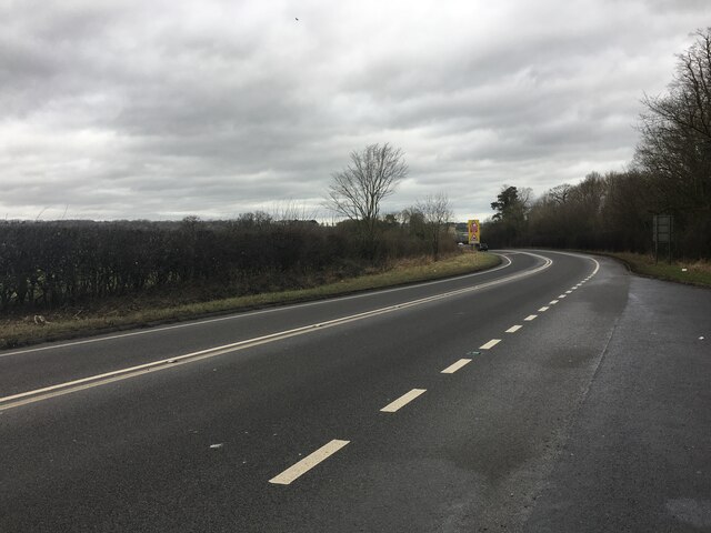
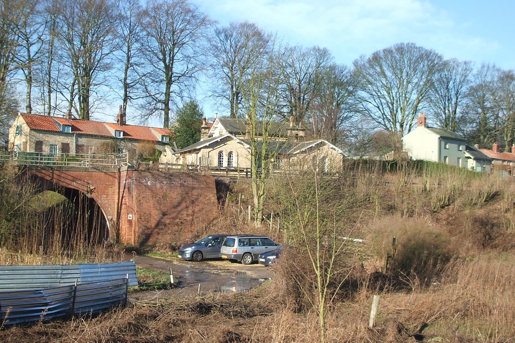
Low Hutton is a small village located in the Ryedale district of North Yorkshire, England. Situated about 5 miles north of Malton, the village lies in the picturesque Howardian Hills Area of Outstanding Natural Beauty. With a population of around 200 people, it offers a peaceful and rural environment.
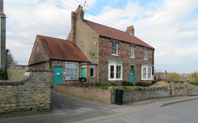
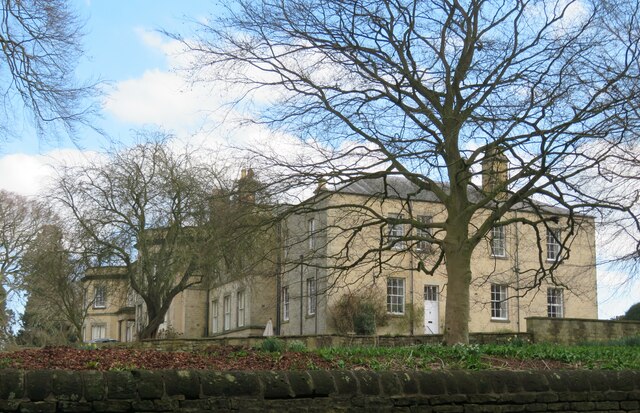
Low Hutton is characterized by its charming stone houses and traditional architecture, giving it a timeless appeal. The village is surrounded by rolling hills, lush green fields, and scenic landscapes, making it an ideal destination for nature lovers and hikers. The nearby River Derwent adds to the beauty of the area, providing opportunities for fishing and leisurely walks along its banks.
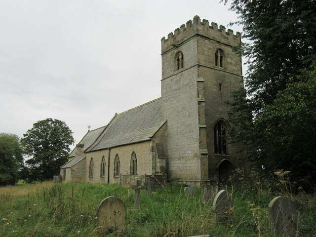
Despite its small size, Low Hutton has a strong sense of community, with a local pub serving as a gathering place for residents and visitors alike. The village also boasts a small church, St. Margaret's, which adds to its historic charm.
The location of Low Hutton offers easy access to a range of amenities and attractions. The bustling market town of Malton, known for its food festivals and vibrant local produce scene, provides shopping and dining options. The nearby Howardian Hills offer numerous outdoor activities, including cycling, horse riding, and exploring the stunning Castle Howard estate.
Overall, Low Hutton offers a tranquil and idyllic setting for those seeking a peaceful retreat amidst beautiful countryside surroundings.
If you have any feedback on the listing, please let us know in the comments section below.
Low Hutton Images
Images are sourced within 2km of 54.099413/-0.839282 or Grid Reference SE7667. Thanks to Geograph Open Source API. All images are credited.


Low Hutton is located at Grid Ref: SE7667 (Lat: 54.099413, Lng: -0.839282)
Division: North Riding
Administrative County: North Yorkshire
District: Ryedale
Police Authority: North Yorkshire
What 3 Words
///dimension.slab.hammocks. Near Malton, North Yorkshire
Nearby Locations
Related Wikis

Huttons Ambo
Huttons Ambo is a civil parish in the Ryedale district of North Yorkshire, England. It is about 14 miles (22.5 km) north-east of York and 3 miles (4.8...
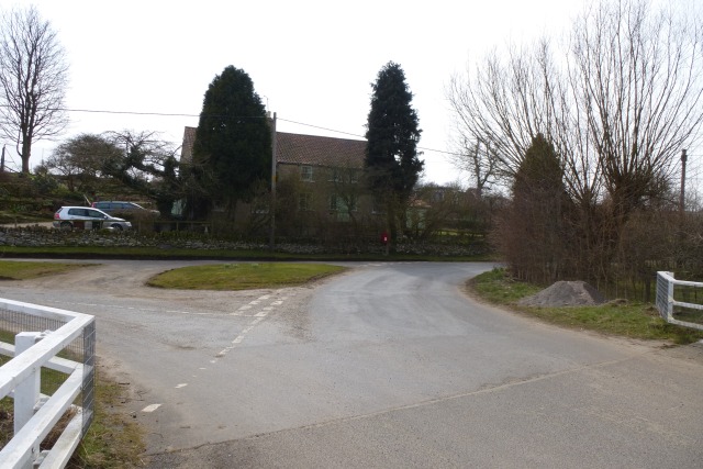
Huttons Ambo railway station
Huttons Ambo railway station was a minor railway station serving the twin villages of High Hutton and Low Hutton, and the village of Menethorpe, in North...
Menethorpe
Menethorpe is a hamlet and former civil parish, now in the parish of Burythorpe, in North Yorkshire, England. In 1931 the parish had a population of 68...

Firby, Ryedale
Firby is a village in the civil parish of Westow, in North Yorkshire, England, 4 miles (6 km) south west of Malton. Firby was historically a township in...

Eddlethorpe
Eddlethorpe is a hamlet in North Yorkshire, England. It is approximately 4 miles (6 km) south from Malton, and between the village of Langton to the east...
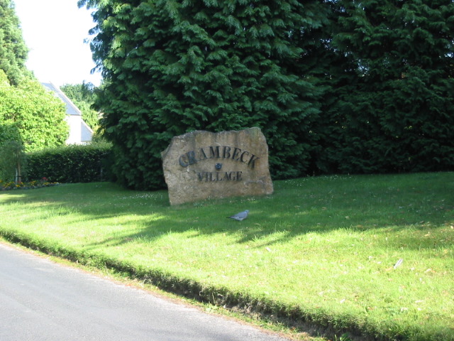
Crambeck
Crambeck near Crambe and Malton in Yorkshire is near the River Derwent. == History == === Roman === Crambeck is famous in antiquity as having been the Roman...
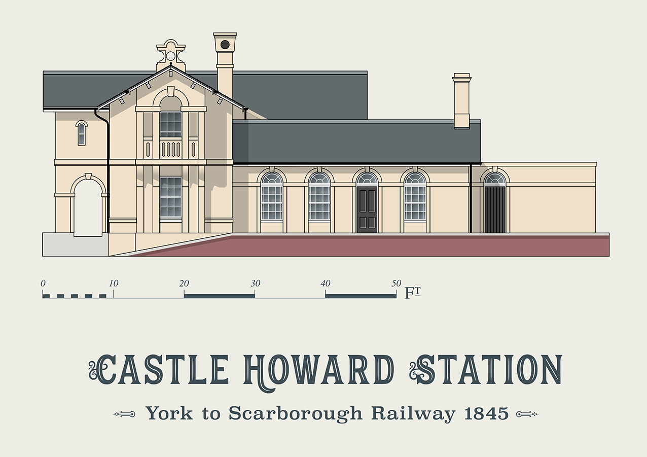
Castle Howard railway station
Castle Howard railway station was a minor railway station serving the village of Welburn and the stately home at Castle Howard in North Yorkshire, England...

Westow
Westow is a village and civil parish in North Yorkshire, England. Westow is situated in the lee of Spy Hill, bordering the Howardian Hills Area of Outstanding...
Nearby Amenities
Located within 500m of 54.099413,-0.839282Have you been to Low Hutton?
Leave your review of Low Hutton below (or comments, questions and feedback).