Green Clivie

Coastal Feature, Headland, Point in Orkney

Scotland

Green Clivie

Scapa Flow Seen from Olaf summit viewpoint on the A961.
Scapa Flow Credit: Graeme Yuill

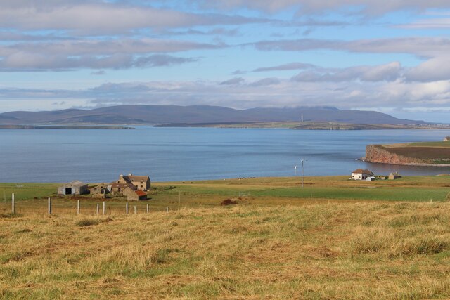
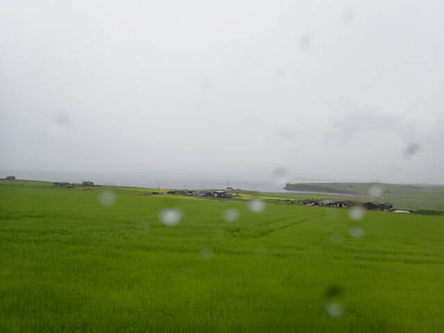
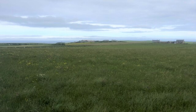
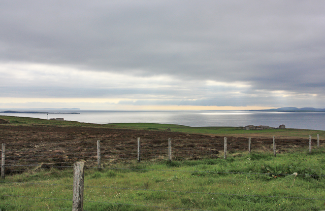
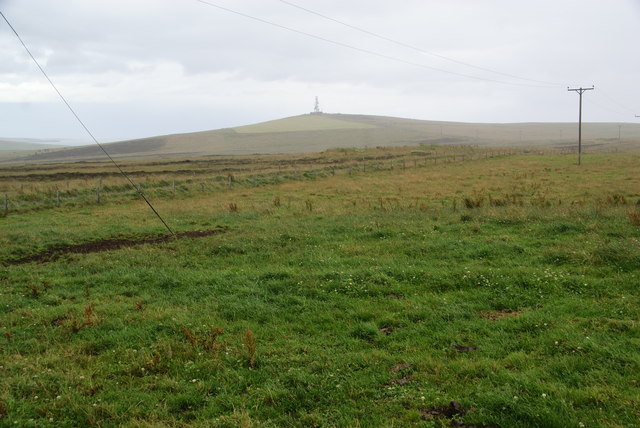
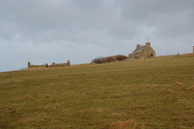
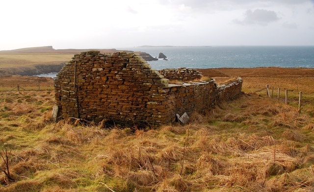
Green Clivie is a prominent coastal feature located in Orkney, an archipelago in Scotland. Situated on the eastern coast of the mainland, it is specifically categorized as a headland or point due to its protrusion into the North Sea. The headland extends out from the surrounding landscape and offers stunning views of the surrounding cliffs and ocean.

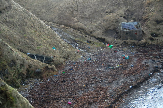
Green Clivie is known for its rugged beauty and dramatic cliffs, which rise steeply from the sea. The headland is composed of a mixture of sedimentary rocks, including sandstone and shale, which have been eroded over time by the relentless force of the crashing waves. This erosion has resulted in the formation of caves, arches, and stacks along the coastline, adding to its picturesque allure.

The area surrounding Green Clivie is rich in biodiversity, serving as a sanctuary for numerous seabird species. Visitors to the headland can observe nesting colonies of puffins, razorbills, and guillemots during the breeding season. The coastal waters are also teeming with marine life, including seals, dolphins, and occasional sightings of whales.

Due to its unique geological and ecological features, Green Clivie attracts both nature enthusiasts and geologists alike. The headland offers a variety of walking and hiking trails, allowing visitors to explore the rugged coastline and experience the breathtaking views. Additionally, the site provides ample opportunities for photography, with its dramatic cliffs and crashing waves offering a stunning backdrop.

Green Clivie is a true gem of Orkney's coastline, offering a glimpse into the region's natural beauty and geological wonders.

If you have any feedback on the listing, please let us know in the comments section below.

Green Clivie Images

Images are sourced within 2km of 58.763069/-2.9794067 or Grid Reference ND4386. Thanks to Geograph Open Source API. All images are credited.

Scapa Flow Seen from Olaf summit viewpoint on the A961.
Scapa Flow
Seen from Olaf summit viewpoint on the A961.
Eastward House, A961 near Barswick, South Ronaldsay Built in 1873 by local residents for the Church of Scotland, it is now (2014) a home offering B & B.
Eastward House, A961 near Barswick, South Ronaldsay
Built in 1873 by local residents for the Church of Scotland, it is now (2014) a home offering B & B.
View west from the Olad summit viewpoint Marred by rain
View west from the Olad summit viewpoint
Marred by rain
Farmland, Mossetter
Farmland, Mossetter
Loch of Lythe  Small loch near Ossquoy, the farm on the right
Loch of Lythe
Small loch near Ossquoy, the farm on the right
Tomison's Academy Founded under the will of William Tomison (1739-1829) of the Hudson's Bay Company. 
This former school is now empty and the adjacent buildings falling into dereliction
Tomison's Academy
Founded under the will of William Tomison (1739-1829) of the Hudson's Bay Company. This former school is now empty and the adjacent buildings falling into dereliction
Road to somewhere
Road to somewhere
Aerial view of southern South Ronaldsay Taken from a flight to Shetland via Orkney this is the southern end of the southernmost of the main islands of Orkney, South Ronaldsay.
Obviously aerial photos such as this cover many squares, so I have taken the subject reference as Barth Head, which is the little sticky-out point nearest the camera.
Aerial view of southern South Ronaldsay
Taken from a flight to Shetland via Orkney this is the southern end of the southernmost of the main islands of Orkney, South Ronaldsay. Obviously aerial photos such as this cover many squares, so I have taken the subject reference as Barth Head, which is the little sticky-out point nearest the camera.
Towards Upper Serrigar Extensive views of coastal scenery are available almost everywhere on the Orkney Islands and especially on South Ronaldsay.
Towards Upper Serrigar
Extensive views of coastal scenery are available almost everywhere on the Orkney Islands and especially on South Ronaldsay.
Viewpoint on Olad Hill The headland straight ahead is The Nev. A rain shower is sweeping in from the left.
Viewpoint on Olad Hill
The headland straight ahead is The Nev. A rain shower is sweeping in from the left.
Grassland on Olad Hill Looking towards Ward Hill, with a sharp rain shower just starting. Several of the islands have a Ward Hill, signifying a good place to have a beacon.
Grassland on Olad Hill
Looking towards Ward Hill, with a sharp rain shower just starting. Several of the islands have a Ward Hill, signifying a good place to have a beacon.
The deserted croft of Greenvale Deserted and derelict.
The deserted croft of Greenvale
Deserted and derelict.
Inside Greenvale Looking into one of the rooms. A very similar atmosphere as in those on Swona, which Greenvale overlooks.
Inside Greenvale
Looking into one of the rooms. A very similar atmosphere as in those on Swona, which Greenvale overlooks.
Greenvale Possibly the original dwelling. Swona on the horizon in the background.
Greenvale
Possibly the original dwelling. Swona on the horizon in the background.
The Haven, Barswick On Sundays, the inhabitants of Swona used to cross to South Ronaldsay in an open boat and would land here. This building is where they would then change into "Sunday Best" before walking across the fields to the kirk (ND441856). After the service, the process was reversed. What people!
The Haven, Barswick
On Sundays, the inhabitants of Swona used to cross to South Ronaldsay in an open boat and would land here. This building is where they would then change into "Sunday Best" before walking across the fields to the kirk (ND441856). After the service, the process was reversed. What people!
Dunda House
Dunda House
Osquoy Farm on South Ronaldsay.
Osquoy
Farm on South Ronaldsay.
Old school, Cleat A former school building on South Ronaldsay.
Old school, Cleat
A former school building on South Ronaldsay.
Show me another place!

Green Clivie is located at Grid Ref: ND4386 (Lat: 58.763069, Lng: -2.9794067)

Unitary Authority: Orkney Islands

Police Authority: Highlands and Islands

What 3 Words

///lake.watches.bookmark. Near St Margaret's Hope, Orkney Islands

Related Wikis

Burwick, Orkney

Burwick () is a small harbour on the island of South Ronaldsay in the Orkney Islands, Scotland. It is the closest Orkney harbour to the Scottish mainland...

South Ronaldsay

South Ronaldsay (, also , Scots: Sooth Ronalshee) is one of the Orkney Islands off the north coast of Scotland. It is linked to the Orkney Mainland by...

HMS Opal (1915)

HMS Opal was an Admiralty M-class destroyer of the Royal Navy. She served in the First World War following her construction at Sunderland in 1915. Attached...

Liddle Burnt Mound

Liddle Burnt Mound is a Bronze Age site on the island of South Ronaldsay, Orkney. The site consists of the remains of a building and a mound that surrounds...

Nearby Amenities

Located within 500m of 58.763069,-2.9794067
Green Clivie
Place: locality
Lat/Long: 58.7637317/-2.9793126
Husanter Point
Place: locality
Lat/Long: 58.7614467/-2.9807911
Natural Arch Stackabank
Place: locality
Lat/Long: 58.7653328/-2.979327
Power: pole
Lat/Long: 58.7630027/-2.9714707
Power: pole
Lat/Long: 58.7633012/-2.9722103
Power: pole
Lat/Long: 58.7635751/-2.9733838
Power: pole
Lat/Long: 58.7637279/-2.9740694
Power: pole
Lat/Long: 58.7636452/-2.9752725
Power: pole
Lat/Long: 58.763552/-2.97667
The data included in this document is from www.openstreetmap.org. The data is made available under ODbL.

Have you been to Green Clivie?

Leave your review of Green Clivie below (or comments, questions and feedback).