Point of the Baits
Coastal Feature, Headland, Point in Orkney
Scotland
Point of the Baits

Point of the Baits is a prominent coastal feature located in the Orkney Islands, an archipelago in northern Scotland. Situated on the mainland of Orkney, this headland is characterized by its rugged cliffs, rocky shoreline, and commanding views of the North Sea.
The Point of the Baits is situated at the northeastern tip of Orkney's mainland, jutting out into the sea with an imposing presence. The headland is predominantly composed of sandstone and shale formations, which have been shaped over time by the erosive forces of wind and water. The cliffs rise to a height of approximately 30 meters, offering a dramatic backdrop against the crashing waves below.
The coastal area surrounding Point of the Baits is known for its diverse wildlife and natural beauty. The rocky shoreline provides habitat for various seabird species, including guillemots, razorbills, and puffins, which can be observed nesting on the cliffs during the breeding season. The waters surrounding the headland are also home to a variety of marine life, such as seals and dolphins, making it a popular spot for wildlife enthusiasts.
In addition to its natural attractions, Point of the Baits holds historical significance. The headland is believed to have been inhabited by humans since prehistoric times, with archaeological evidence suggesting the presence of ancient settlements in the area. The nearby Brough of Birsay, a small tidal island, is known for its Viking remains and serves as a testament to the island's rich history.
Overall, Point of the Baits is a captivating coastal feature in Orkney, offering a combination of stunning natural beauty and historical intrigue.
If you have any feedback on the listing, please let us know in the comments section below.
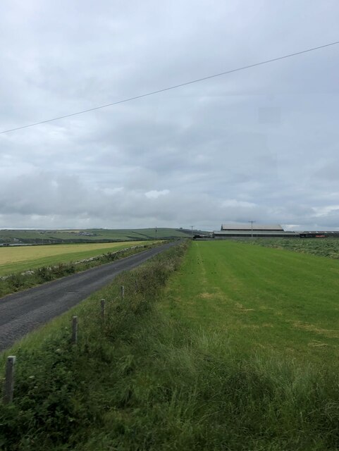
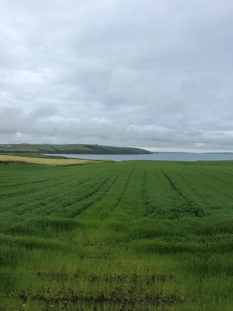
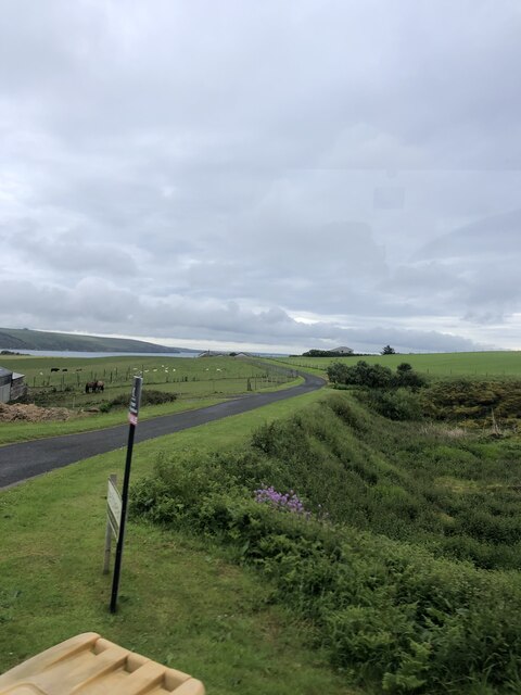
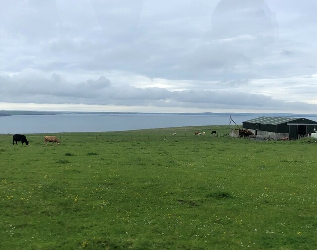
Point of the Baits Images
Images are sourced within 2km of 58.95821/-2.98803 or Grid Reference HY4308. Thanks to Geograph Open Source API. All images are credited.


Point of the Baits is located at Grid Ref: HY4308 (Lat: 58.95821, Lng: -2.98803)
Unitary Authority: Orkney Islands
Police Authority: Highlands and Islands
What 3 Words
///ballparks.pelted.sideboard. Near Kirkwall, Orkney Islands
Nearby Locations
Related Wikis

Scapa distillery
Scapa distillery is a Scotch whisky distillery on The Mainland of Orkney, Scotland on the shore of Scapa Flow near the town of Kirkwall. Scapa is the third...

St Ola
St Ola is a parish on Mainland, Orkney. It is in the centre of the island, east of the parish Firth and north of Holm. It contains the capital and largest...

Highland Park distillery
Highland Park distillery is the second northernmost single malt Scotch whisky distillery in Scotland (Kimbland distillery on Sanday being 22 miles further...

Balfour Hospital
Balfour Hospital is a rural general hospital in Kirkwall, Orkney. It is managed by NHS Orkney. == History == In 1836, John Balfour of Trenabie set up a...
Nearby Amenities
Located within 500m of 58.95821,-2.98803Have you been to Point of the Baits?
Leave your review of Point of the Baits below (or comments, questions and feedback).