Hesket, Low

Settlement in Cumberland Eden

England

Hesket, Low

Road to Beware of the children (sign) so be careful on your way to Sewell Houses and Harrington Ling.
Road to Credit: Alexander P Kapp

Hesket, Low, Cumberland, is a small village located in the Eden district of Cumbria, England. Situated in the northern part of the Lake District National Park, this picturesque village is surrounded by stunning natural landscapes.

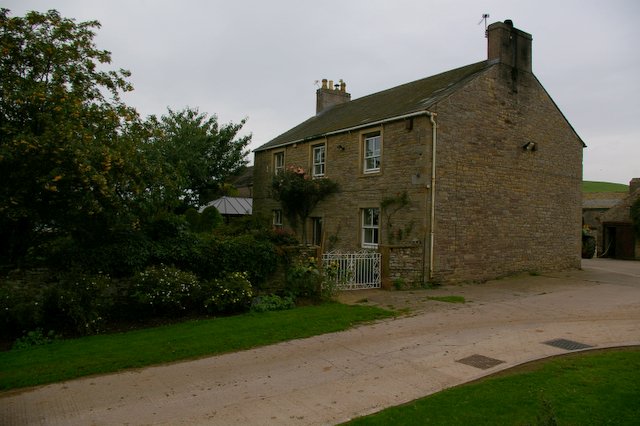
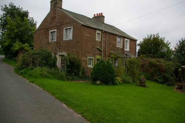
Hesket, Low, Cumberland, is home to approximately 300 residents who enjoy a peaceful and close-knit community. The village is known for its charming cottages, many of which date back centuries, adding to its rustic and historic charm.

The village is centered around St. Mary's Church, a beautiful medieval building with a rich history. The church serves as a gathering place for locals and visitors alike and hosts various community events throughout the year.

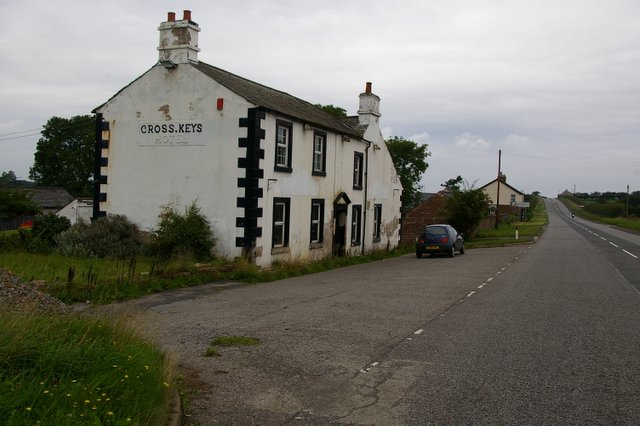
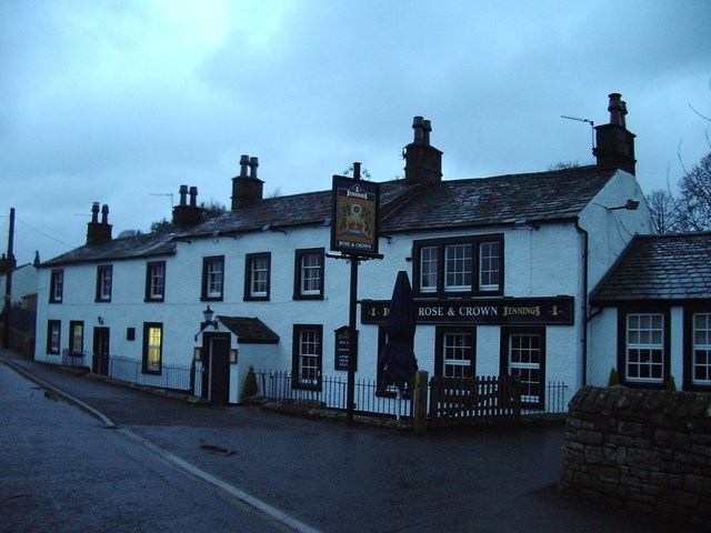
One of Hesket's notable features is its traditional country pub, The Old Crown. This popular establishment dates back to the 17th century and is renowned for its real ales, hearty pub food, and warm hospitality. The pub often acts as a meeting point for locals and visitors to socialize and enjoy the village's friendly atmosphere.

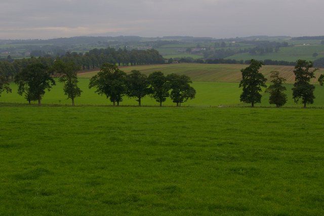
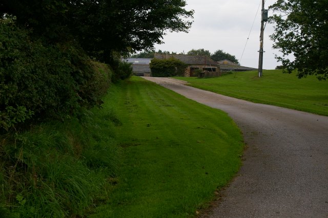
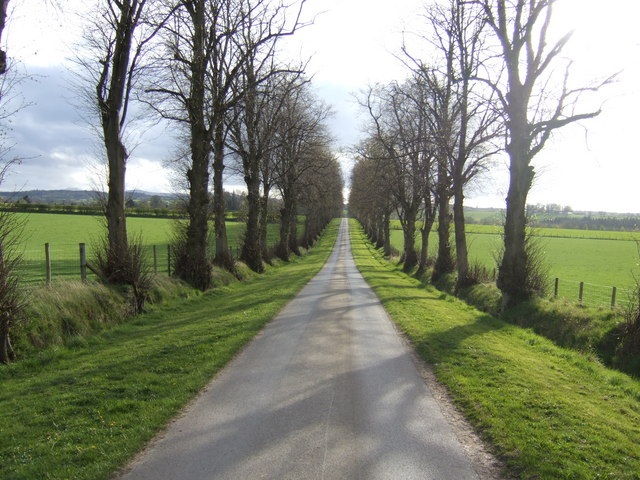
Surrounded by rolling hills, woodlands, and scenic walking trails, Hesket, Low, Cumberland, offers plenty of opportunities for outdoor activities. The village serves as a perfect base for exploring the nearby Lake District, with its stunning lakes, mountains, and picturesque villages.

Overall, Hesket, Low, Cumberland, is a tranquil and idyllic village that showcases the beauty and charm of rural England. Its rich history, stunning natural surroundings, and welcoming community make it a delightful place to visit or call home.

If you have any feedback on the listing, please let us know in the comments section below.
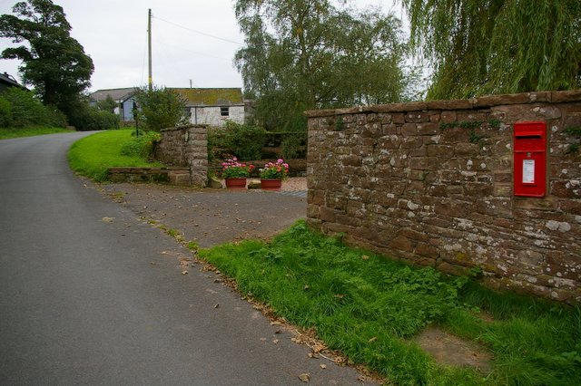
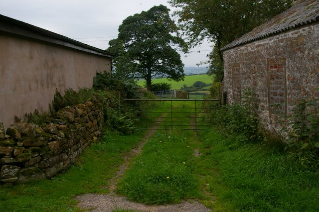
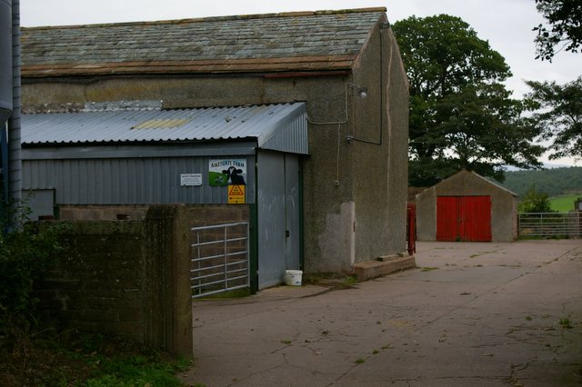
Hesket, Low Images

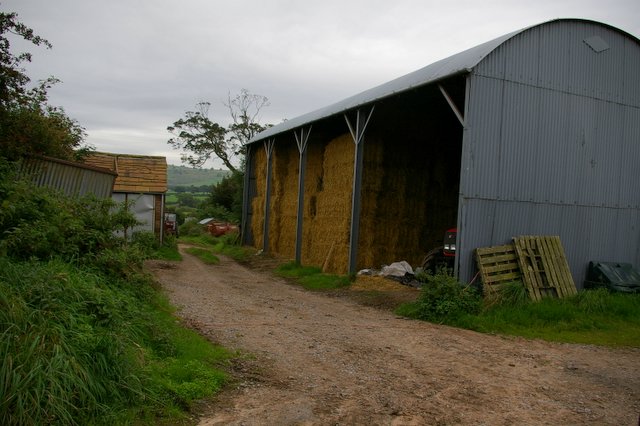
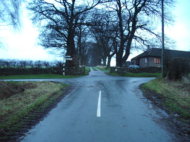
Images are sourced within 2km of 54.810074/-2.83239 or Grid Reference NY4646. Thanks to Geograph Open Source API. All images are credited.

Road to Beware of the children (sign) so be careful on your way to Sewell Houses and Harrington Ling.
Road to
Beware of the children (sign) so be careful on your way to Sewell Houses and Harrington Ling.
Disused Gate
Disused Gate
Entrance to Tally Ho Farm
Pylon, wood and farmland, near Cotehill Looking east from Lowthian Gill.
Pylon, wood and farmland, near Cotehill
Looking east from Lowthian Gill.
Farmland, Causeway House Fields west of the A6.
Farmland, Causeway House
Fields west of the A6.
Cross Keys Hotel on A6 Now derelict
Cross Keys Hotel on A6
Now derelict
Barrock Gill
Barrock Gill
Barrock Fell
Barrock Fell
Barrock End
Barrock End
Barrock End
Barrock End
Aiketgate
Aiketgate
Aiketgate. Track to Fields
House at Aiketgate
House at Aiketgate
Aiketgate Farm
Aiketgate Farm
Farm at Nunclose
Farm at Nunclose
Rose and Crown, Low Hesket
Road junction Straight ahead to Barrock End, right to Aiketgate and left, back to the A6
Road junction
Straight ahead to Barrock End, right to Aiketgate and left, back to the A6
Avenue to Barrock Park The main house is now a nursing home.
Avenue to Barrock Park
The main house is now a nursing home.
Show me another place!

Hesket, Low is located at Grid Ref: NY4646 (Lat: 54.810074, Lng: -2.83239)

Administrative County: Cumbria

District: Eden

Police Authority: Cumbria

What 3 Words

///iron.quoted.bulb. Near Wetheral, Cumbria

Nearby Locations

Low Hesket Hesket, Low

Related Wikis

Low Hesket

Low Hesket is a village in the English county of Cumbria. Low Hesket is on the A6 road 8+1⁄2 miles (13.7 km) south of Carlisle. This is a former Roman...

Aiketgate

Aiketgate is a small village in the English county of Cumbria. It is within the civil parish of Hesket. Development of wind turbines in the Eden Valley...
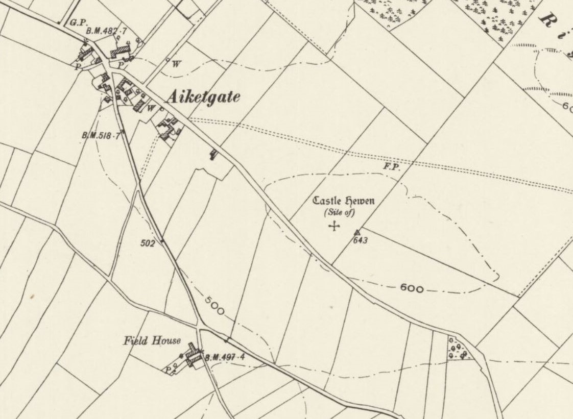
Castle Hewen

Castle Hewen (also recorded as Castlewen; Castle Luen; Castellewyn; Castellewyne; Castlehewings; Castle-Ewaine and Castle Lewen) was a Romano-British castle...

Southwaite

Southwaite is a small village in the parish of Hesket, in the Eden District, in the English county of Cumbria. == Location == It is located on a minor...

Nearby Amenities

Located within 500m of 54.810074,-2.83239
Low Hesket
Place: village
Wikidata: Q6692887
Lat/Long: 54.8099973/-2.8331639
Bus Stop
Barrock Gill (S bound)
Naptan AtcoCode: 090074291895
Naptan Bearing: SE
Naptan CommonName: Barrock Gill (S bound)
Naptan Indicator: opp
Naptan Landmark: entrance to Barrock-Gill
Naptan NaptanCode: cumdajgt
Naptan Street: A6
Naptan Verified: no
Source: naptan_import
Lat/Long: 54.8113075/-2.8353185
Bus Stop
South End
Naptan AtcoCode: 090074292058
Naptan Bearing: W
Naptan CommonName: South End
Naptan Indicator: opp
Naptan Landmark: Police House
Naptan NaptanCode: cumdajma
Naptan Street: A6
Naptan Verified: no
Source: naptan_import
Lat/Long: 54.8075987/-2.8323014
Bus Stop
Barrock Gill (N bound)
Naptan AtcoCode: 090074292274
Naptan Bearing: NW
Naptan CommonName: Barrock Gill (N bound)
Naptan Indicator: o/s
Naptan Landmark: entrance to Barrock-Gill
Naptan NaptanCode: cumdajmt
Naptan Street: A6
Naptan Verified: no
Source: naptan_import
Lat/Long: 54.8114653/-2.8358975
Police House
Naptan AtcoCode: 090074293554
Naptan Bearing: SE
Naptan BusStopType: CUS
Naptan CommonName: Police House
Naptan Indicator: o/s
Naptan Landmark: Police House
Naptan NaptanCode: cumdajtd
Naptan Street: A6
Naptan Verified: no
Source: naptan_import
Lat/Long: 54.807681/-2.8320853
Bus Stop
Rose and Crown (N bound)
Naptan AtcoCode: 090074294159
Naptan Bearing: NW
Naptan CommonName: Rose and Crown (N bound)
Naptan Indicator: o/s
Naptan Landmark: Hawthorn House
Naptan NaptanCode: cumdptaw
Naptan Street: A6
Naptan Verified: no
Source: naptan_import
Lat/Long: 54.8093664/-2.8340026
Bus Stop
Rose & Crown (S bound)
Naptan AtcoCode: 090074294160
Naptan Bearing: SE
Naptan CommonName: Rose & Crown (S bound)
Naptan Indicator: o/s
Naptan Landmark: Rose & Crown
Naptan NaptanCode: cumdptda
Naptan Street: A6
Naptan Verified: no
Source: naptan_import
Lat/Long: 54.8096557/-2.8337596
Post Box
Post Box Type: lamp
Ref: CA4 424
Source: survey
Lat/Long: 54.8056968/-2.8325487
Post Box
Post Box Type: lamp
Ref: CA4 155
Source: survey
Lat/Long: 54.8090504/-2.8333057
Booth: KX100
Covered: booth
Disused Amenity: telephone
Man Made: telephone_box
Source: survey
Lat/Long: 54.8074951/-2.8322038
Generator Method: photovoltaic
Generator Output Electricity: yes
Generator Source: solar
Generator Type: solar_photovoltaic_panel
Location: roof
Power: generator
Lat/Long: 54.8112137/-2.8360745
Generator Method: photovoltaic
Generator Output Electricity: yes
Generator Source: solar
Generator Type: solar_photovoltaic_panel
Location: roof
Power: generator
Lat/Long: 54.8093093/-2.8326305
Generator Method: photovoltaic
Generator Output Electricity: yes
Generator Source: solar
Generator Type: solar_photovoltaic_panel
Location: roof
Power: generator
Lat/Long: 54.8093641/-2.8296747
Power: pole
Lat/Long: 54.8056308/-2.8324524
Power: pole
Lat/Long: 54.806608/-2.833438
Power: pole
Lat/Long: 54.8073334/-2.8339581
Power: pole
Lat/Long: 54.8080513/-2.83446
Power: pole
Lat/Long: 54.8089536/-2.8351648
Power: pole
Lat/Long: 54.8095613/-2.834932
Power: pole
Lat/Long: 54.8088179/-2.8397313
Power: pole
Lat/Long: 54.8088528/-2.8383148
Power: pole
Lat/Long: 54.8088958/-2.8368859
Bench
Lat/Long: 54.8057515/-2.8324814
The data included in this document is from www.openstreetmap.org. The data is made available under ODbL.

Have you been to Hesket, Low?

Leave your review of Hesket, Low below (or comments, questions and feedback).