Drybrae Hole
Coastal Feature, Headland, Point in Fife
Scotland
Drybrae Hole

The requested URL returned error: 429 Too Many Requests
If you have any feedback on the listing, please let us know in the comments section below.
Drybrae Hole Images
Images are sourced within 2km of 56.447273/-2.935297 or Grid Reference NO4228. Thanks to Geograph Open Source API. All images are credited.


Drybrae Hole is located at Grid Ref: NO4228 (Lat: 56.447273, Lng: -2.935297)
Unitary Authority: Fife
Police Authority: Fife
What 3 Words
///lasts.toward.flocking. Near Newport-on-Tay, Fife
Nearby Locations
Related Wikis

Newport-on-Tay East railway station
Newport-on-Tay East railway station formerly served the town of Newport-on-Tay, Fife, Scotland. The station closed in 1969. == Tayport branch == Newport...

Newport-on-Tay
Newport-on-Tay is a small town in the north-east of Fife in Scotland, acting as a commuter town for Dundee. The Fife Coastal Path passes through Newport...
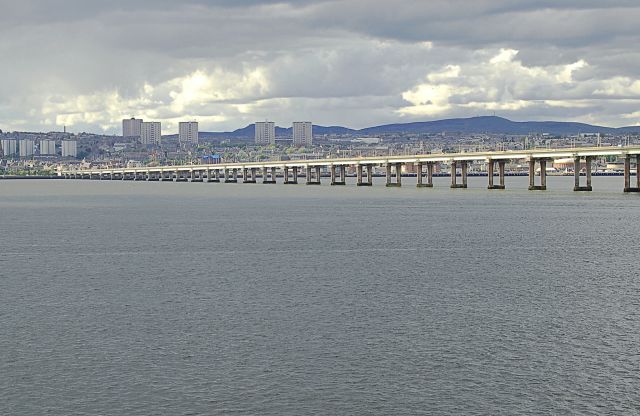
Tay Road Bridge
The Tay Road Bridge (Scottish Gaelic: Drochaid-rathaid na Tatha) carries the A92 road across the Firth of Tay from Newport-on-Tay in Fife to Dundee in...

Newport-on-Tay West railway station
Newport-on-Tay West railway station served the town of Newport-on-Tay, Fife, Scotland, from 1879 to 1969 on the Newport Railway. == History == The station...
Nearby Amenities
Located within 500m of 56.447273,-2.935297Have you been to Drybrae Hole?
Leave your review of Drybrae Hole below (or comments, questions and feedback).