The Loup

Coastal Feature, Headland, Point in Caithness

Scotland

The Loup

A99 north of Keiss The A99 follows the east coast of Caithness from Latheron, where it leaves the A9, though the town of Wick to John o' Groats at the north-east corner of the Highlands. The road is a trunk road between Latheron and Wick. It was part of the A9 until 1997, when the A9 was re-routed along what had been the A895-A882 link between Latheron and Thurso.

The A99 forms part of the North Coast 500 (NC500) which was launched in 2015. NC500 is a 516-mile scenic route around the north coast of Scotland, starting and ending at Inverness Castle,
A99 north of Keiss Credit: David Dixon

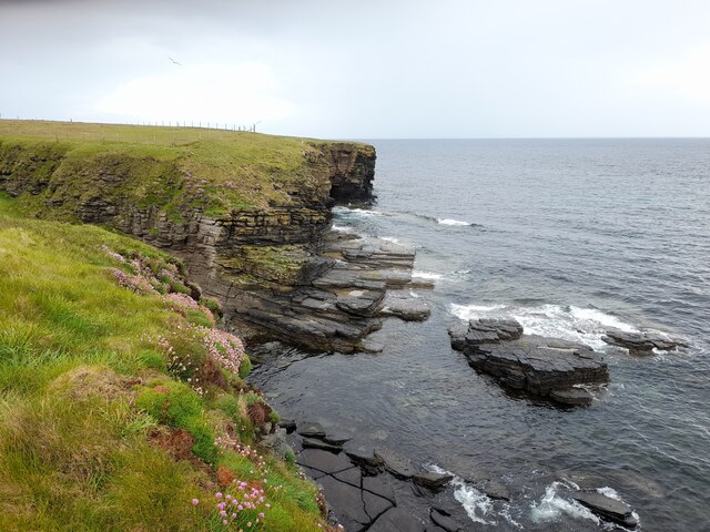
The Loup is a prominent coastal feature located in Caithness, Scotland. It is a headland that juts out into the North Sea, forming a distinctive point along the rugged coastline. The name "Loup" is derived from the Old Norse word for "leap" or "jump," which is fitting considering the dramatic cliffs and steep slopes that characterize this natural formation.

Standing at an impressive height of approximately 300 feet, The Loup offers breathtaking panoramic views of the surrounding area. From this vantage point, visitors can marvel at the vast expanse of the North Sea and the rugged coastal cliffs that stretch as far as the eye can see. The headland itself is composed of rugged, weathered rock, which adds to its striking appearance.

The Loup is a popular destination for nature enthusiasts and photographers due to its stunning natural beauty. The cliff edges provide a habitat for various species of seabirds, such as puffins and guillemots, making it a haven for birdwatchers. Additionally, the area is known for its rich marine life, with seals often spotted lounging on the rocks below.

Access to The Loup is relatively straightforward, with a well-maintained coastal path leading to the headland. However, caution is advised as the cliffs can be dangerous, and visitors are advised to stay on designated paths and avoid getting too close to the edge.

Overall, The Loup is a captivating coastal feature that offers visitors a chance to experience the raw beauty of Caithness' coastline. Whether it's the breathtaking views, the diverse wildlife, or the rugged cliffs, The Loup is a must-visit destination for anyone exploring the region.

If you have any feedback on the listing, please let us know in the comments section below.
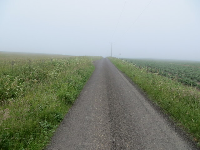
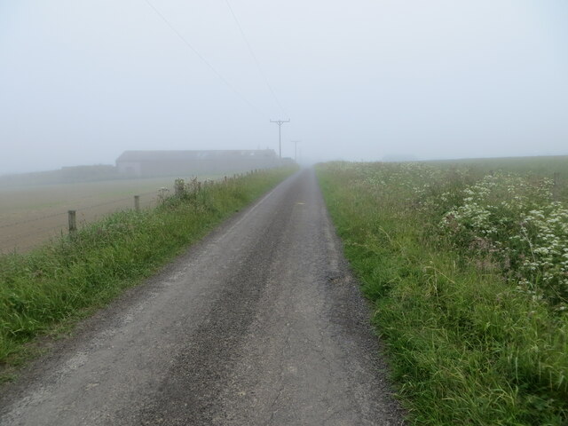
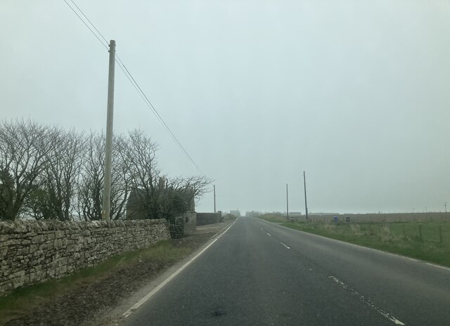
The Loup Images

Images are sourced within 2km of 58.544062/-3.093325 or Grid Reference ND3662. Thanks to Geograph Open Source API. All images are credited.

A99 north of Keiss The A99 follows the east coast of Caithness from Latheron, where it leaves the A9, though the town of Wick to John o' Groats at the north-east corner of the Highlands. The road is a trunk road between Latheron and Wick. It was part of the A9 until 1997, when the A9 was re-routed along what had been the A895-A882 link between Latheron and Thurso.

The A99 forms part of the North Coast 500 (NC500) which was launched in 2015. NC500 is a 516-mile scenic route around the north coast of Scotland, starting and ending at Inverness Castle,
A99 north of Keiss
The A99 follows the east coast of Caithness from Latheron, where it leaves the A9, though the town of Wick to John o' Groats at the north-east corner of the Highlands. The road is a trunk road between Latheron and Wick. It was part of the A9 until 1997, when the A9 was re-routed along what had been the A895-A882 link between Latheron and Thurso. The A99 forms part of the North Coast 500 (NC500) which was launched in 2015. NC500 is a 516-mile scenic route around the north coast of Scotland, starting and ending at Inverness Castle,
Layby on the A99 between Keiss and Nybster The A99 follows the east coast of Caithness from Latheron, where it leaves the A9, though the town of Wick to John o' Groats at the north-east corner of the Highlands. The road is a trunk road between Latheron and Wick. It was part of the A9 until 1997, when the A9 was re-routed along what had been the A895-A882 link between Latheron and Thurso.

The A99 forms part of the North Coast 500 (NC500) which was launched in 2015. NC500 is a 516-mile scenic route around the north coast of Scotland, starting and ending at Inverness Castle,
Layby on the A99 between Keiss and Nybster
The A99 follows the east coast of Caithness from Latheron, where it leaves the A9, though the town of Wick to John o' Groats at the north-east corner of the Highlands. The road is a trunk road between Latheron and Wick. It was part of the A9 until 1997, when the A9 was re-routed along what had been the A895-A882 link between Latheron and Thurso. The A99 forms part of the North Coast 500 (NC500) which was launched in 2015. NC500 is a 516-mile scenic route around the north coast of Scotland, starting and ending at Inverness Castle,
Keiss Baptist Kirk and Manse An early 19th century, symmetrical 2-storey, 3-bay house and a mid-19th century, simple rectangular single-storey church. Both are Category C listed buildings (LB14080 <span class="nowrap"><a title="http://portal.historicenvironment.scot/designation/LB14080" rel="nofollow ugc noopener" href="http://portal.historicenvironment.scot/designation/LB14080">Link</a><img style="margin-left:2px;" alt="External link" title="External link - shift click to open in new window" src="https://s1.geograph.org.uk/img/external.png" width="10" height="10"/></span> and LB14081 <span class="nowrap"><a title="http://portal.historicenvironment.scot/designation/LB14081" rel="nofollow ugc noopener" href="http://portal.historicenvironment.scot/designation/LB14081">Link</a><img style="margin-left:2px;" alt="External link" title="External link - shift click to open in new window" src="https://s1.geograph.org.uk/img/external.png" width="10" height="10"/></span> Historic Environment Scotland).
Keiss Baptist Kirk and Manse
An early 19th century, symmetrical 2-storey, 3-bay house and a mid-19th century, simple rectangular single-storey church. Both are Category C listed buildings (LB14080 LinkExternal link and LB14081 LinkExternal link Historic Environment Scotland).
A99, Auckengill The A99 follows the east coast of Caithness from Latheron, where it leaves the A9, though the town of Wick to John o' Groats at the north-east corner of the Highlands. The road is a trunk road between Latheron and Wick. It was part of the A9 until 1997, when the A9 was re-routed along what had been the A895-A882 link between Latheron and Thurso.

The A99 forms part of the North Coast 500 (NC500) which was launched in 2015. NC500 is a 516-mile scenic route around the north coast of Scotland, starting and ending at Inverness Castle,
A99, Auckengill
The A99 follows the east coast of Caithness from Latheron, where it leaves the A9, though the town of Wick to John o' Groats at the north-east corner of the Highlands. The road is a trunk road between Latheron and Wick. It was part of the A9 until 1997, when the A9 was re-routed along what had been the A895-A882 link between Latheron and Thurso. The A99 forms part of the North Coast 500 (NC500) which was launched in 2015. NC500 is a 516-mile scenic route around the north coast of Scotland, starting and ending at Inverness Castle,
A99, Springwell House The A99 follows the east coast of Caithness from Latheron, where it leaves the A9, though the town of Wick to John o' Groats at the north-east corner of the Highlands. The road is a trunk road between Latheron and Wick. It was part of the A9 until 1997, when the A9 was re-routed along what had been the A895-A882 link between Latheron and Thurso.

The A99 forms part of the North Coast 500 (NC500) which was launched in 2015. NC500 is a 516-mile scenic route around the north coast of Scotland, starting and ending at Inverness Castle,
A99, Springwell House
The A99 follows the east coast of Caithness from Latheron, where it leaves the A9, though the town of Wick to John o' Groats at the north-east corner of the Highlands. The road is a trunk road between Latheron and Wick. It was part of the A9 until 1997, when the A9 was re-routed along what had been the A895-A882 link between Latheron and Thurso. The A99 forms part of the North Coast 500 (NC500) which was launched in 2015. NC500 is a 516-mile scenic route around the north coast of Scotland, starting and ending at Inverness Castle,
A99, northbound The A99 runs 34 miles, across Caithness, from Latheron to John O' Groats <a href="https://www.geograph.org.uk/photo/7086935">ND3773 : The end of the road (A99)</a>.
<span class="nowrap"><a title="https://www.sabre-roads.org.uk/wiki/index.php?title=A99" rel="nofollow ugc noopener" href="https://www.sabre-roads.org.uk/wiki/index.php?title=A99">Link</a><img style="margin-left:2px;" alt="External link" title="External link - shift click to open in new window" src="https://s1.geograph.org.uk/img/external.png" width="10" height="10"/></span>
A99, northbound
The A99 runs 34 miles, across Caithness, from Latheron to John O' Groats ND3773 : The end of the road (A99). LinkExternal link
Coast near Auckengill Sea pinks brightening the scene.
Coast near Auckengill
Sea pinks brightening the scene.
Minor road near Auckengill Looking north-westward.
Minor road near Auckengill
Looking north-westward.
Minor road approaching the A99 at Auckengill Looking south-eastward.
Minor road approaching the A99 at Auckengill
Looking south-eastward.
A section of the Stroupster Windfarm roadway Looking south-eastward in the direction of Nybster. An inland sea fret was affecting visibility.
A section of the Stroupster Windfarm roadway
Looking south-eastward in the direction of Nybster. An inland sea fret was affecting visibility.
Keiss War Memorial
Keiss War Memorial
Keiss Baptist Church Simple mid-C19 church. It is Category C listed. There is a plaque which states "In memory of Sir William Sinclair Bart of Dunbeath, Founder and Pastor of this the first Baptist Church in Scotland 1750"
Keiss Baptist Church
Simple mid-C19 church. It is Category C listed. There is a plaque which states "In memory of Sir William Sinclair Bart of Dunbeath, Founder and Pastor of this the first Baptist Church in Scotland 1750"
Approaching Springwell House
By Keiss Castle
By Keiss Castle
Approaching Keiss
Approaching Keiss
A99 southbound near Keiss
Signage - A99 southbound
Auckengill jetty A small stone jetty lies at the foot of a low cliff, accessible only by footpath from the end of a road that leads to the sea from the A99.
Auckengill jetty
A small stone jetty lies at the foot of a low cliff, accessible only by footpath from the end of a road that leads to the sea from the A99.
Show me another place!

The Loup is located at Grid Ref: ND3662 (Lat: 58.544062, Lng: -3.093325)

Unitary Authority: Highland

Police Authority: Highlands and Islands

What 3 Words

///century.validated.fronted. Near John o' Groats, Highland

Related Wikis

Keiss Castle

Keiss Castle is a partially ruined castle in Scotland, which stands on sheer cliffs overlooking Sinclair's Bay less than one mile north of Keiss village...

Nybster

Nybster is a scattered rural and crofting township, situated in Caithness and is in the Scottish council area of Highland. It is located along the A9 road...
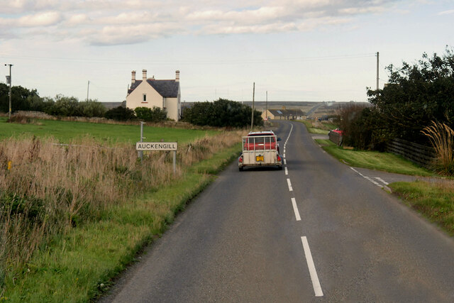
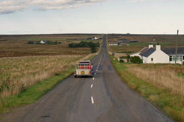
Auckengill

Auckengill is a settlement, 6 miles (10 kilometres) south of John o' Groats, on the east coast of Caithness, within the Scottish council area of Highland...

Keiss

Keiss (Scottish Gaelic: Cèis) is a fishing village at the northern end of Sinclair's Bay on the east coast of Caithness county in Scotland's Highland...

Sinclairs Bay

Sinclairs Bay is a large remote, breast shaped, or left leaf of a tear drop shaped, coastal embayment, on the east coast of Scotland, in east Caithness...

Wester Pipe Railway

The Wester Pipe Railway is a narrow gauge railway that runs from Hastigrow on the B876 road to Westerloch on the A99, all within Caithness. The line is...

Freswick

Freswick ( FREZZ-ik) or Skirsa, is a small remote hamlet, overlooking Freswick Bay to the east, in eastern Caithness, Scottish Highlands and is in the...

Skirza

Skirza or Skirsa, is a small remote linear fishing village, overlooking Freswick Bay to the south and Skirza Head to the southeast, in eastern Caithness...

Nearby Amenities

Located within 500m of 58.544062,-3.093325
Source: PGS
Lat/Long: 58.5411951/-3.0998861
Source: PGS
Lat/Long: 58.5415003/-3.0993335
Source: PGS
Lat/Long: 58.5418688/-3.0987838
Source: PGS
Lat/Long: 58.5422309/-3.0980944
Source: PGS
Lat/Long: 58.5423877/-3.0977725
Source: PGS
Lat/Long: 58.5426033/-3.0975311
Source: PGS
Lat/Long: 58.542886/-3.0970537
Created By: almien_coastlines
Source: PGS
Lat/Long: 58.543462/-3.095647
Created By: almien_coastlines
Source: PGS
Lat/Long: 58.54359/-3.095403
Created By: almien_coastlines
Source: PGS
Lat/Long: 58.543718/-3.095158
Created By: almien_coastlines
Source: PGS
Lat/Long: 58.543847/-3.094915
Created By: almien_coastlines
Source: PGS
Lat/Long: 58.543974/-3.094669
Source: PGS
Lat/Long: 58.5442954/-3.0938251
Source: PGS
Lat/Long: 58.5443908/-3.0934792
Created By: almien_coastlines
Source: PGS
Lat/Long: 58.544487/-3.093202
Created By: almien_coastlines
Source: PGS
Lat/Long: 58.544616/-3.092958
Created By: almien_coastlines
Source: PGS
Lat/Long: 58.544744/-3.092713
Source: PGS
Lat/Long: 58.5450997/-3.0917268
Created By: almien_coastlines
Source: PGS
Lat/Long: 58.545385/-3.091002
Source: PGS
Lat/Long: 58.5457514/-3.0904459
Created By: almien_coastlines
Source: PGS
Lat/Long: 58.545898/-3.089778
Source: PGS
Lat/Long: 58.5461497/-3.089205
Source: PGS
Lat/Long: 58.5463382/-3.0887821
Created By: almien_coastlines
Source: PGS
Lat/Long: 58.547435/-3.088069
Power: pole
Lat/Long: 58.5474209/-3.0986961
Power: pole
Lat/Long: 58.5468679/-3.0999915
Power: pole
Lat/Long: 58.5453157/-3.1013742
Power: pole
Lat/Long: 58.5450556/-3.1001458
Power: pole
Lat/Long: 58.5444686/-3.0990473
Power: pole
Lat/Long: 58.5466184/-3.0938546
Power: pole
Lat/Long: 58.54638/-3.0941856
Power: pole
Lat/Long: 58.5461692/-3.0945145
Power: pole
Lat/Long: 58.5462529/-3.0954992
Power: pole
Lat/Long: 58.5463132/-3.0962099
Power: pole
Lat/Long: 58.5464202/-3.0975337
The data included in this document is from www.openstreetmap.org. The data is made available under ODbL.

Have you been to The Loup?

Leave your review of The Loup below (or comments, questions and feedback).