Ness of Quoys

Coastal Feature, Headland, Point in Caithness

Scotland

Ness of Quoys

John O'Groats Youth Hostel, Canisbay The Youth Hostel is small and cosy a wee bit back from John O' Groats.
John O'Groats Youth Hostel, Canisbay Credit: G McK

Ness of Quoys is a prominent headland located on the northern coast of Scotland, specifically in Caithness. It is situated near the town of Wick and juts out into the North Sea, offering stunning views of the surrounding coastline and sea. The headland is characterized by rugged cliffs that rise steeply from the water below, creating a dramatic and picturesque landscape.

Ness of Quoys is a popular destination for hikers and nature enthusiasts, who come to explore the coastal trails and enjoy the breathtaking scenery. The area is also known for its rich wildlife, with seabirds such as puffins and guillemots often seen nesting on the cliffs. Visitors may also spot seals, dolphins, and even whales in the waters around the headland.

In addition to its natural beauty, Ness of Quoys is also of historical significance, with archaeological remains dating back to the Iron Age found in the area. These ancient ruins provide insight into the early inhabitants of Caithness and add to the allure of this coastal feature. Overall, Ness of Quoys is a must-visit destination for those seeking a blend of natural beauty, wildlife, and history in the Scottish Highlands.

If you have any feedback on the listing, please let us know in the comments section below.

Ness of Quoys Images

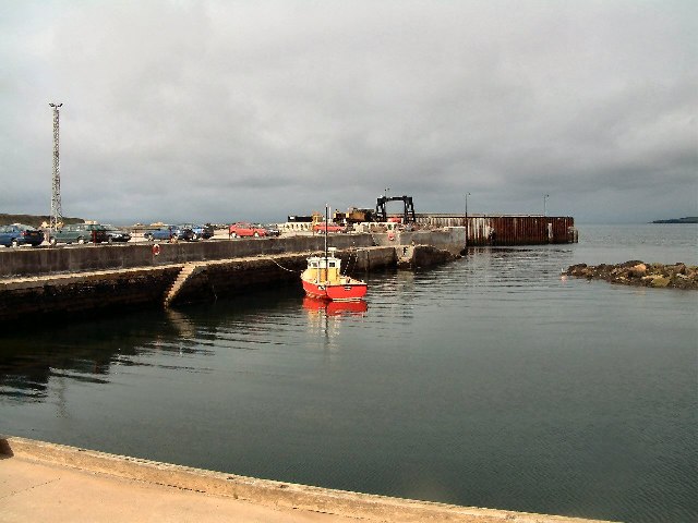
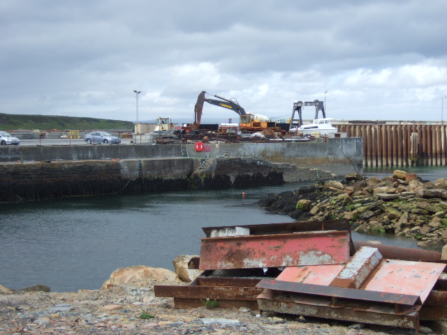
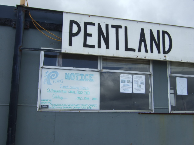
Images are sourced within 2km of 58.641921/-3.1313909 or Grid Reference ND3473. Thanks to Geograph Open Source API. All images are credited.

John O'Groats Youth Hostel, Canisbay The Youth Hostel is small and cosy a wee bit back from John O' Groats.
John O'Groats Youth Hostel, Canisbay
The Youth Hostel is small and cosy a wee bit back from John O' Groats.
Canisbay Church
Canisbay Church
Huna Pier Close to John O'Groats
Huna Pier
Close to John O'Groats
Gill's Bay Ferry Terminal The vehicle ferry to South Ronaldsay leaves here every hour.
Gill's Bay Ferry Terminal
The vehicle ferry to South Ronaldsay leaves here every hour.
Gills Bay A view looking north over the information boards at the parking area above Gills Bay. The uninhabited Island of Stroma is visible in the distance.
Gills Bay
A view looking north over the information boards at the parking area above Gills Bay. The uninhabited Island of Stroma is visible in the distance.
Rough of Warse A view looking down onto seals hauled out on the rocks of the Rough of Warse in Gills Bay, from the cliff near the parking area off the A836..
Rough of Warse
A view looking down onto seals hauled out on the rocks of the Rough of Warse in Gills Bay, from the cliff near the parking area off the A836..
Canisbay Free Evangelical Church
Junction for Gills Bay ferry terminal Off A836.
Junction for Gills Bay ferry terminal
Off A836.
'The Cottage' House on A836, near access to Gills Bay ferry terminal.
'The Cottage'
House on A836, near access to Gills Bay ferry terminal.
Development construction at Gills Bay Improvements to the ferry terminal, for boats to South Ronaldsay (Orkney), under way. See <span class="nowrap"><a title="http://www.caithness.org/atoz/gills/index.htm" rel="nofollow ugc noopener" href="http://www.caithness.org/atoz/gills/index.htm">Link</a><img style="margin-left:2px;" alt="External link" title="External link - shift click to open in new window" src="https://s1.geograph.org.uk/img/external.png" width="10" height="10"/></span> - since 2001 the shortest/safest Pentland Firth crossing.
Development construction at Gills Bay
Improvements to the ferry terminal, for boats to South Ronaldsay (Orkney), under way. See LinkExternal link - since 2001 the shortest/safest Pentland Firth crossing.
Sailings timetable For the Pentland Ferry between Gills Bay and St Margarets Hope (South Ronaldsay, Orkney).
Sailings timetable
For the Pentland Ferry between Gills Bay and St Margarets Hope (South Ronaldsay, Orkney).
Entrance to Canisbay Church of Scotland Off A836.
Entrance to Canisbay Church of Scotland
Off A836.
Canisbay church and churchyard
A 400 yr old gravestone In Carisbay churchyard, Dated 1601.
A 400 yr old gravestone
In Carisbay churchyard, Dated 1601.
Plaque above old gravestone Recounting the original inscription from a gravestone in Carisbay churchyard dated 19th May 1601.
Plaque above old gravestone
Recounting the original inscription from a gravestone in Carisbay churchyard dated 19th May 1601.
Kirkstyle This ruin on the north side of the Canisbay graveyard could perhaps be part of the old Slayel Distillery, which functioned somewhere along this stretch of coast.
Kirkstyle
This ruin on the north side of the Canisbay graveyard could perhaps be part of the old Slayel Distillery, which functioned somewhere along this stretch of coast.
Stonemason at work Building a dry stone wall of Caithness slabstone (quarried at Spital); landscaping around a new church hall at Carisbay.
Stonemason at work
Building a dry stone wall of Caithness slabstone (quarried at Spital); landscaping around a new church hall at Carisbay.
Boat at Huna Mounted by the Smithy Cottages, by the A936 at Huna.
Boat at Huna
Mounted by the Smithy Cottages, by the A936 at Huna.
Show me another place!

Ness of Quoys is located at Grid Ref: ND3473 (Lat: 58.641921, Lng: -3.1313909)

Unitary Authority: Highland

Police Authority: Highlands and Islands

What 3 Words

///technical.templates.firmer. Near John o' Groats, Highland

Nearby Locations

Ness of Quoys Slayel Papel

Related Wikis

Canisbay Parish Church

Canisbay Parish Church is a Church of Scotland church in Canisbay, Scotland, that dates back to the early 1600s and is the most northernly church on mainland...

Canisbay

Canisbay is a rural hamlet located about one mile (1.5 kilometres) southwest of Huna and two and a half miles (four kilometres) southwest of John o' Groats...

Gills Bay

Gills Bay, which is situated about 3 mi (4.8 km) west of John o' Groats with the community of Gills close by, has one of the longest stretches of low-lying...

Huna House

Huna House is a Victorian building located in the small village of Huna in Canisbay, north of Caithness. Built in 1870 as the Huna Hotel, it is listed...

Nearby Amenities

Located within 500m of 58.641921,-3.1313909
Source: PGS
Lat/Long: 58.6423591/-3.1257212
Source: PGS
Lat/Long: 58.6427971/-3.1272173
Source: PGS
Lat/Long: 58.6429065/-3.1276684
Source: PGS
Lat/Long: 58.6428138/-3.1284736
Source: PGS
Lat/Long: 58.6426642/-3.1288432
Source: PGS
Lat/Long: 58.6424822/-3.1293041
Source: PGS
Lat/Long: 58.6422645/-3.1296678
Source: PGS
Lat/Long: 58.6419764/-3.1300814
Source: PGS
Lat/Long: 58.6416277/-3.130569
Source: PGS
Lat/Long: 58.6412991/-3.1310056
Source: PGS
Lat/Long: 58.6409968/-3.131548
Source: PGS
Lat/Long: 58.6407966/-3.1320292
Source: PGS
Lat/Long: 58.640501/-3.1326482
Source: PGS
Lat/Long: 58.6400817/-3.1335004
Source: PGS
Lat/Long: 58.6396897/-3.1351655
Power: pole
Lat/Long: 58.6376/-3.1317854
Power: pole
Lat/Long: 58.6380861/-3.1332615
Power: pole
Lat/Long: 58.6382055/-3.1343498
The data included in this document is from www.openstreetmap.org. The data is made available under ODbL.

Have you been to Ness of Quoys?

Leave your review of Ness of Quoys below (or comments, questions and feedback).