Blair Point
Coastal Feature, Headland, Point in Fife
Scotland
Blair Point

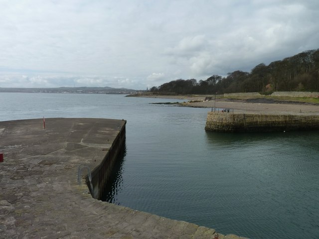
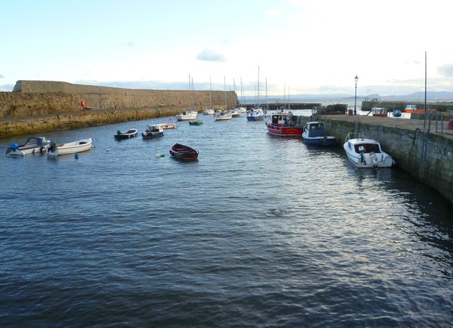
Blair Point is a prominent headland located on the eastern coast of Scotland, specifically in Fife. This coastal feature juts out into the North Sea, providing picturesque views and serving as a significant landmark in the region. The point is situated near the small village of Lower Largo, which lies approximately 12 miles east of the town of Kirkcaldy.
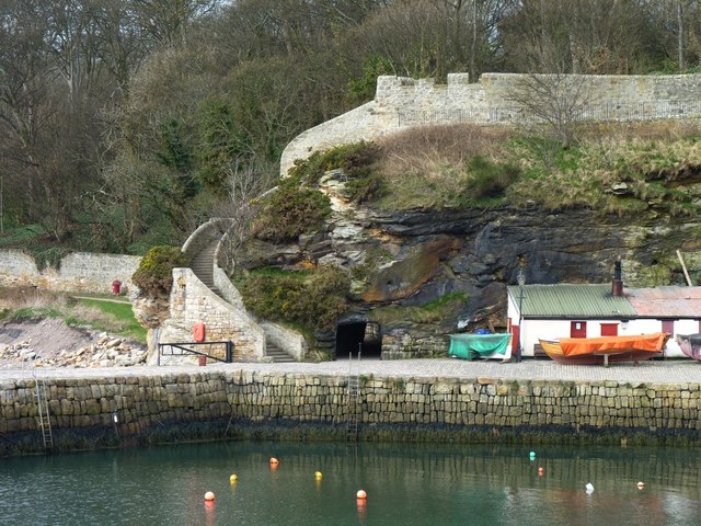
Standing at an elevation of around 30 meters, Blair Point offers breathtaking views of the surrounding coastline, the North Sea, and the nearby Largo Bay. The headland is characterized by its rugged cliffs, which have been shaped by the constant battering of the waves over centuries. These cliffs are composed of sedimentary rocks, primarily sandstone and shale, adding to the natural beauty of the area.
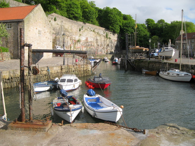
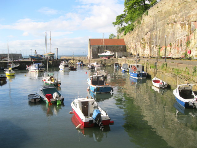
Blair Point is a popular destination for locals and tourists alike, who visit to enjoy the stunning coastal scenery and engage in outdoor activities such as hiking and birdwatching. The headland is home to a diverse range of bird species, including gulls, terns, and cormorants, making it a haven for bird enthusiasts. The surrounding waters also attract marine life, and occasional sightings of seals and dolphins are not uncommon.
The headland is easily accessible via a well-maintained footpath that winds its way along the coastline, providing panoramic views at every turn. At the tip of Blair Point, there is a small grassy area with benches, offering a perfect spot for visitors to relax and soak in the natural beauty of the surroundings.
Overall, Blair Point is a captivating coastal feature in Fife, attracting nature lovers and adventure seekers with its stunning cliffs, panoramic views, and diverse wildlife.
If you have any feedback on the listing, please let us know in the comments section below.
Blair Point Images
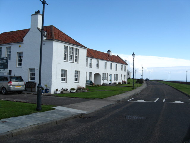
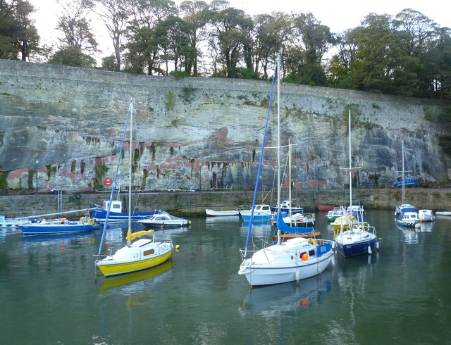
Images are sourced within 2km of 56.133049/-3.1051548 or Grid Reference NT3193. Thanks to Geograph Open Source API. All images are credited.


Blair Point is located at Grid Ref: NT3193 (Lat: 56.133049, Lng: -3.1051548)
Unitary Authority: Fife
Police Authority: Fife
What 3 Words
///showcases.websites.throats. Near Kirkcaldy, Fife
Nearby Locations
Related Wikis

Dysart, Fife
Dysart ( ; Scottish Gaelic: Dìseart) is a town and former royal burgh located on the south-east coast between Kirkcaldy and West Wemyss in Fife, Scotland...
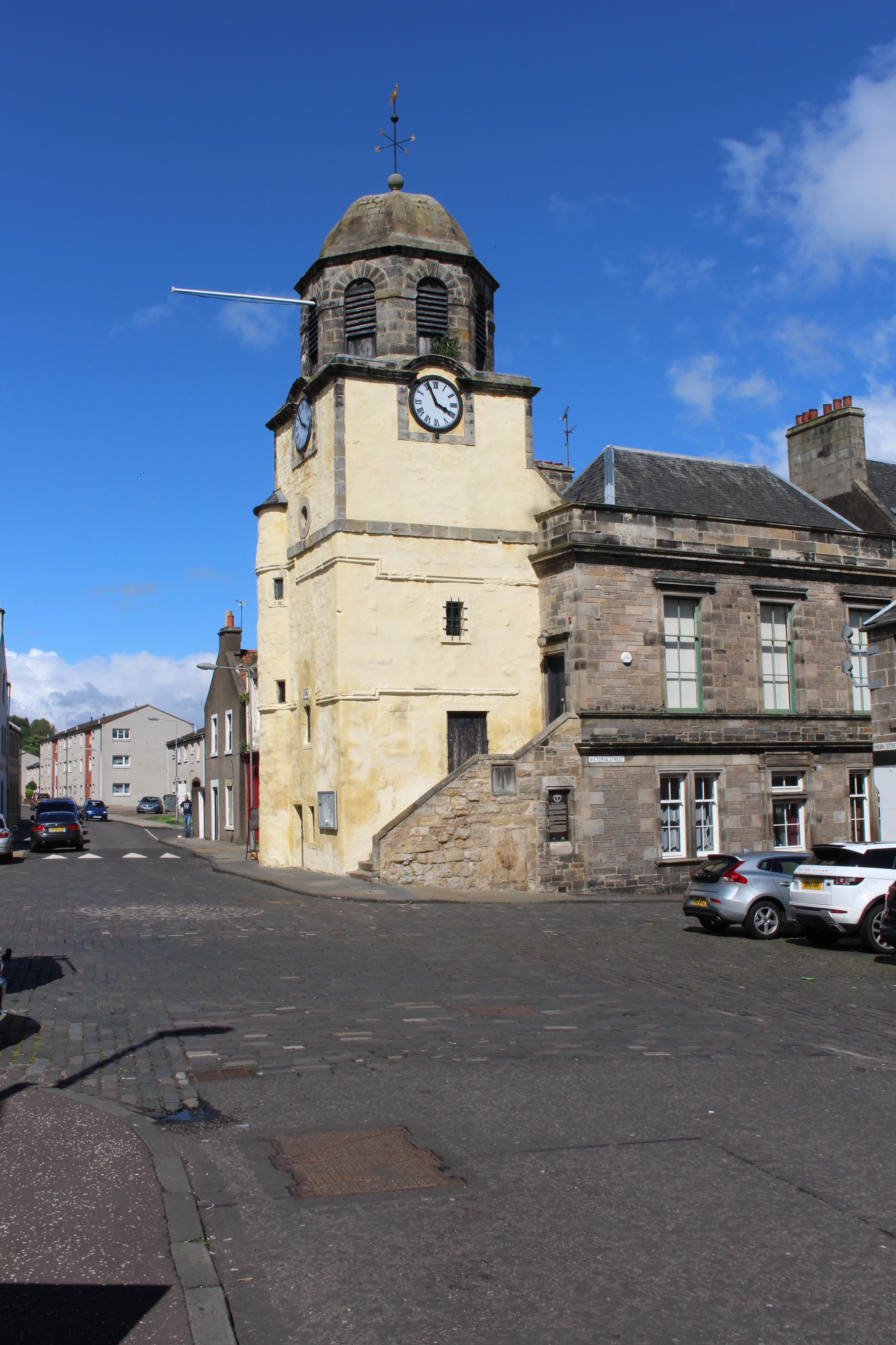
Dysart Tolbooth and Town House
Dysart Tolbooth and Town House is a municipal building in the High Street, Dysart, Fife, Scotland. The structure, which was comprehensively restored in...

West Wemyss
West Wemyss ( ) is a village lying on the north shore of the Firth of Forth, in Fife, Scotland. According to the 2007 population estimate, the village...

West Wemyss Tolbooth
West Wemyss Tolbooth is a municipal building in Main Street, West Wemyss, Fife, Scotland. The structure, which is used as commercial offices, is a Category...
Nearby Amenities
Located within 500m of 56.133049,-3.1051548Have you been to Blair Point?
Leave your review of Blair Point below (or comments, questions and feedback).